

Maps & PrintsBartele Gallery · Langweer
Home / Antique Maps / Europe / Eastern Europe

Eastern Europe

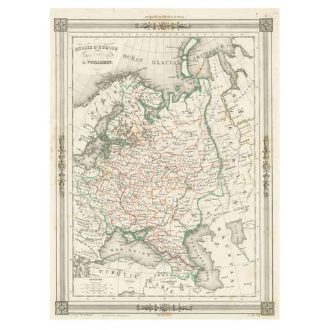
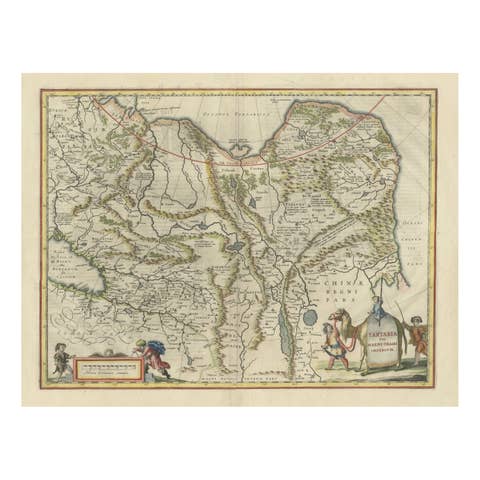
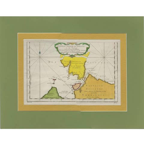
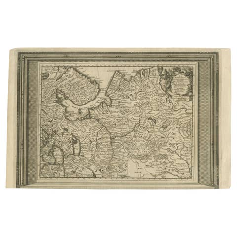
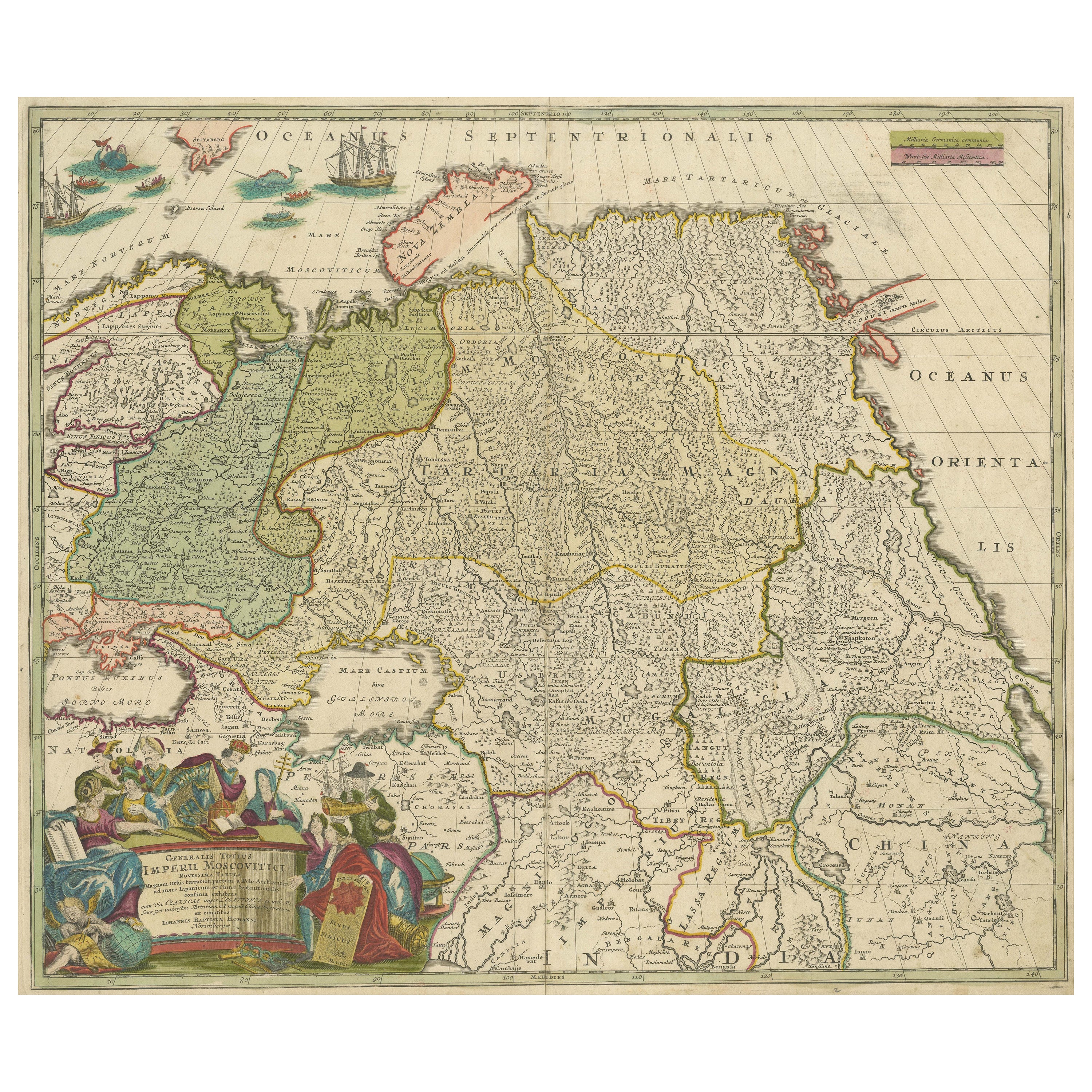

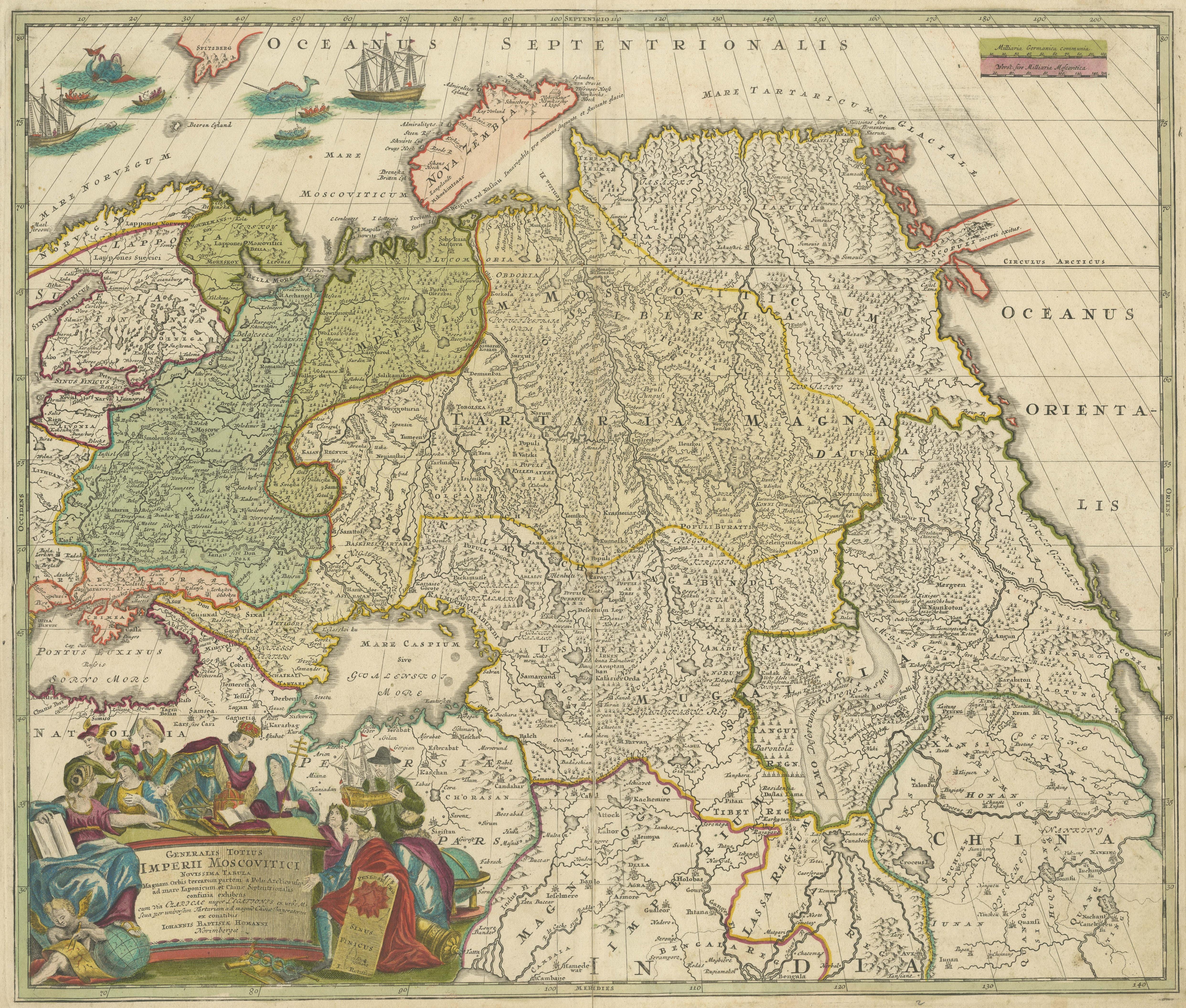
Antique Map of Russia and Central Asia, showing the Northeast Passage

€ 890

One of a kind: this is the sheet in the photographs. Ships from Langweer, the Netherlands.

Sheet size
51.3 × 60.3 cm (20.2 × 23.7 in)
Condition
Fair
Reference
BG-13443-3

Condition

Repaired: Original folding line, with repair. Original/contemporary hand coloring. Original folding line, with repair. Few small weak spots (almost small defects). Shows some wear and soiling, blank verso. Please study image carefully.

About this sheet

Antique map titled 'Generalis Totius Imperii Moscovitici (..)'. Decorative map of Russia and Central Asia, showing the Northeast Passage. The map covers the entirety of the Russian Empire at the time, stretching from the Arctic Circle in the north to the "Oceanus Orientalis" and the northern parts China (Chinae Septentrionalis confinia), Mongolia and India in the south. Published by J.B. Homann, circa 1730.

Johann Baptist Homann was born 1664 in Oberkammlach. He founded his business 1702 in Nuremberg, Germany. After a long period of Dutch domination in map publishing, the Homann publishing house became the most important map and atlas producer in Germany. He became a member of the Academy of Science in Berlin just after he published his first atlas in 1707. After his death 1724 in Nuremberg, the company was continued by his son Johann Christoph. The publishing firm was bequeathed to his heirs after his death in 1730 and was traded under the name Homann Heirs until the next century.

More from Eastern Europe

Ask about this sheet

Antique Map of Russia and Central Asia, showing the Northeast Passage
Ref. BG-13443-3 · € 890
We reply by email, usually within one working day.