Maps & PrintsBartele Gallery · Langweer
Home / Antique Maps / Asia / South Asia / India & Ceylon

India & Ceylon · 17th century

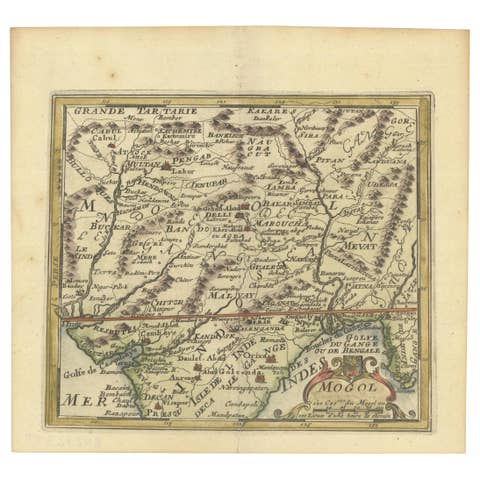
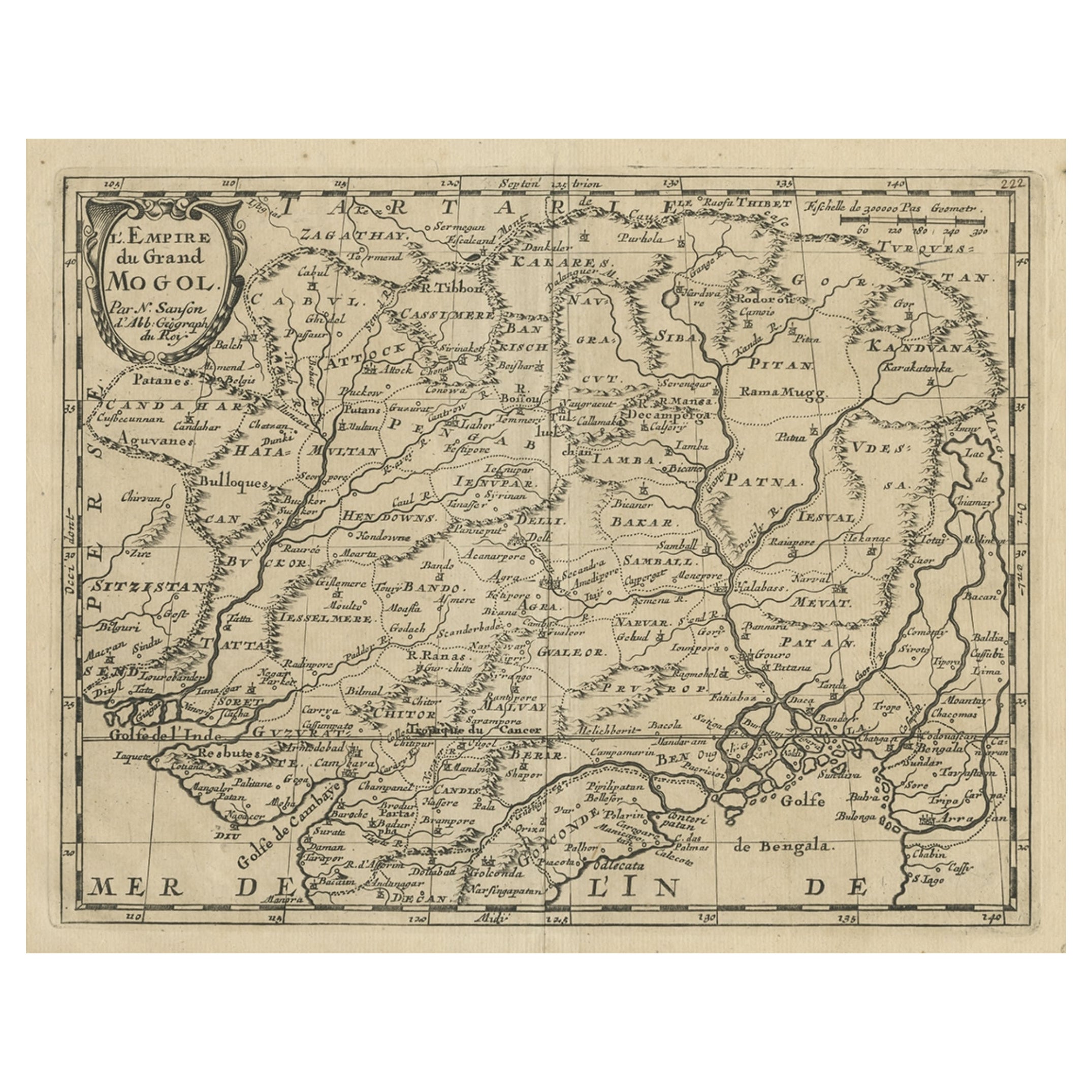
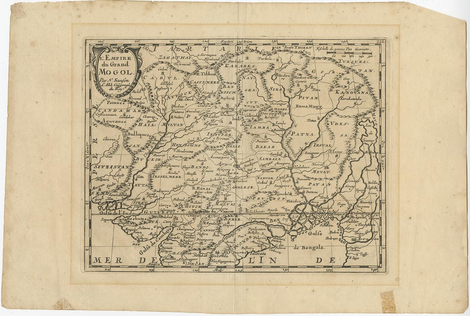
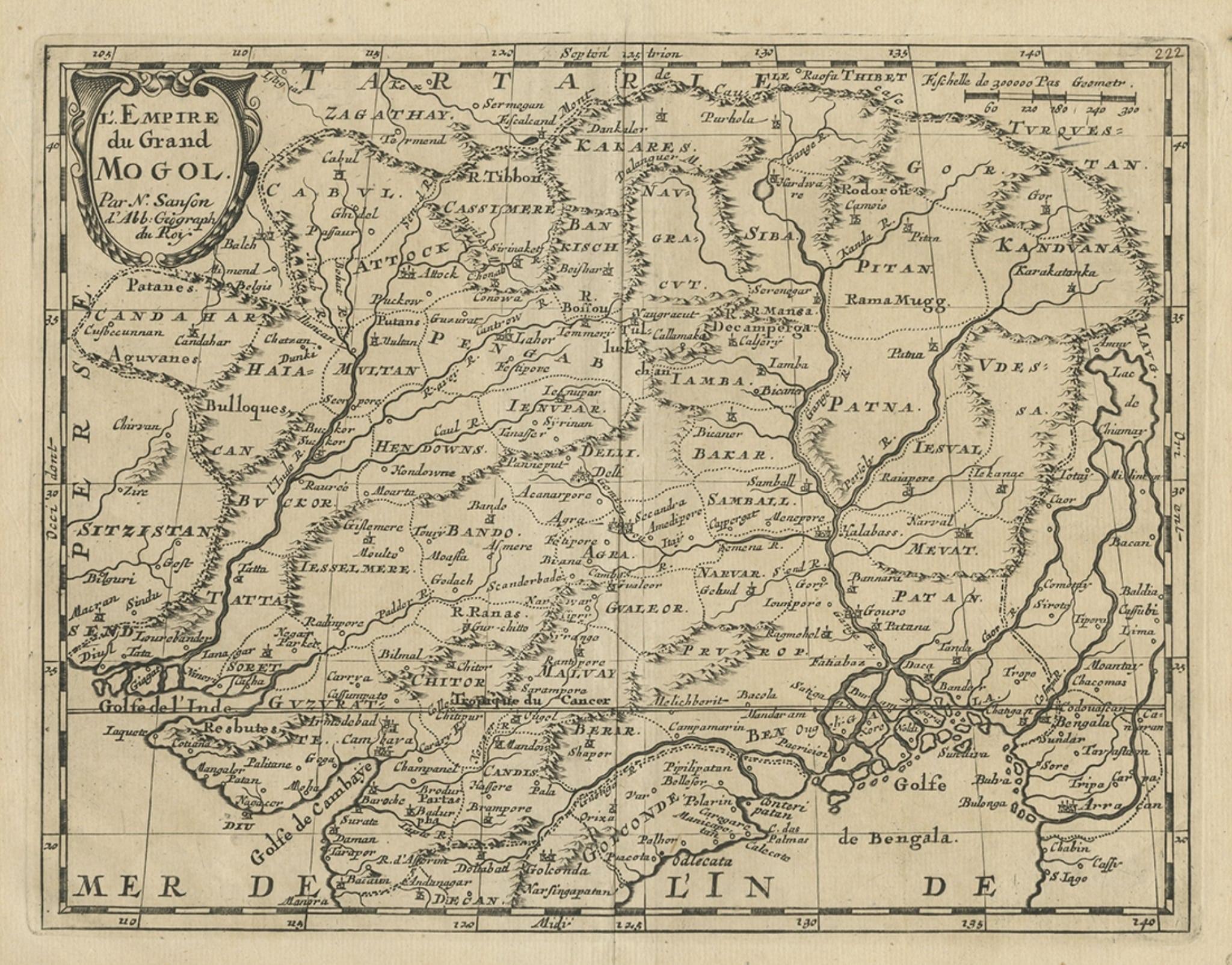
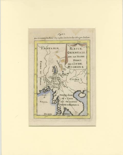
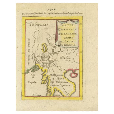
Old Map of the Mughal Empire, Persia in the West to Lake Chimay etc., ca.1685

€ 320

Original antique · The actual sheet photographed · Certificate of authenticity on request · Sold unframed · Worldwide shipping from € 15 (rates)

Date
1685
Technique
Engraved
Sheet size
25 × 37 cm (9.8 × 14.6 in)
Condition
Fair
Reference
BGJC-00262

Condition

Toning around image border. Few tears and wear. Please review the images for further condition details.
About this sheet

Antique map titled 'L'Empire du Grand Mogol'. Old map of India and Central Asia.

The map extends from Persia in the West to Lake Chimay and the Bay of Bengal, with the Himalaya Mountains in the north.

Artists and engravers: Nicholas Sanson (1600-1667) is considered the father of French cartography in its golden age from the mid-seventeenth century to the mid-eighteenth. Over the course of his career he produced over 300 maps. His success can be chalked up to his geographic and research skills, but also to his partnership with Pierre Mariette.

More from India & Ceylon

Ask about this sheet

Old Map of the Mughal Empire, Persia in the West to Lake Chimay etc., ca.1685
1685 · Ref. BGJC-00262 · € 320
We reply by email, usually within one working day.