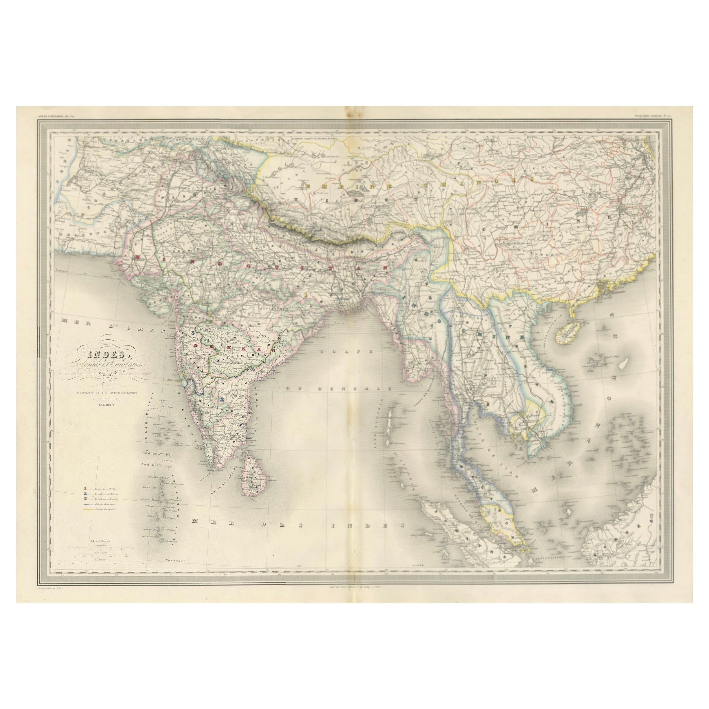
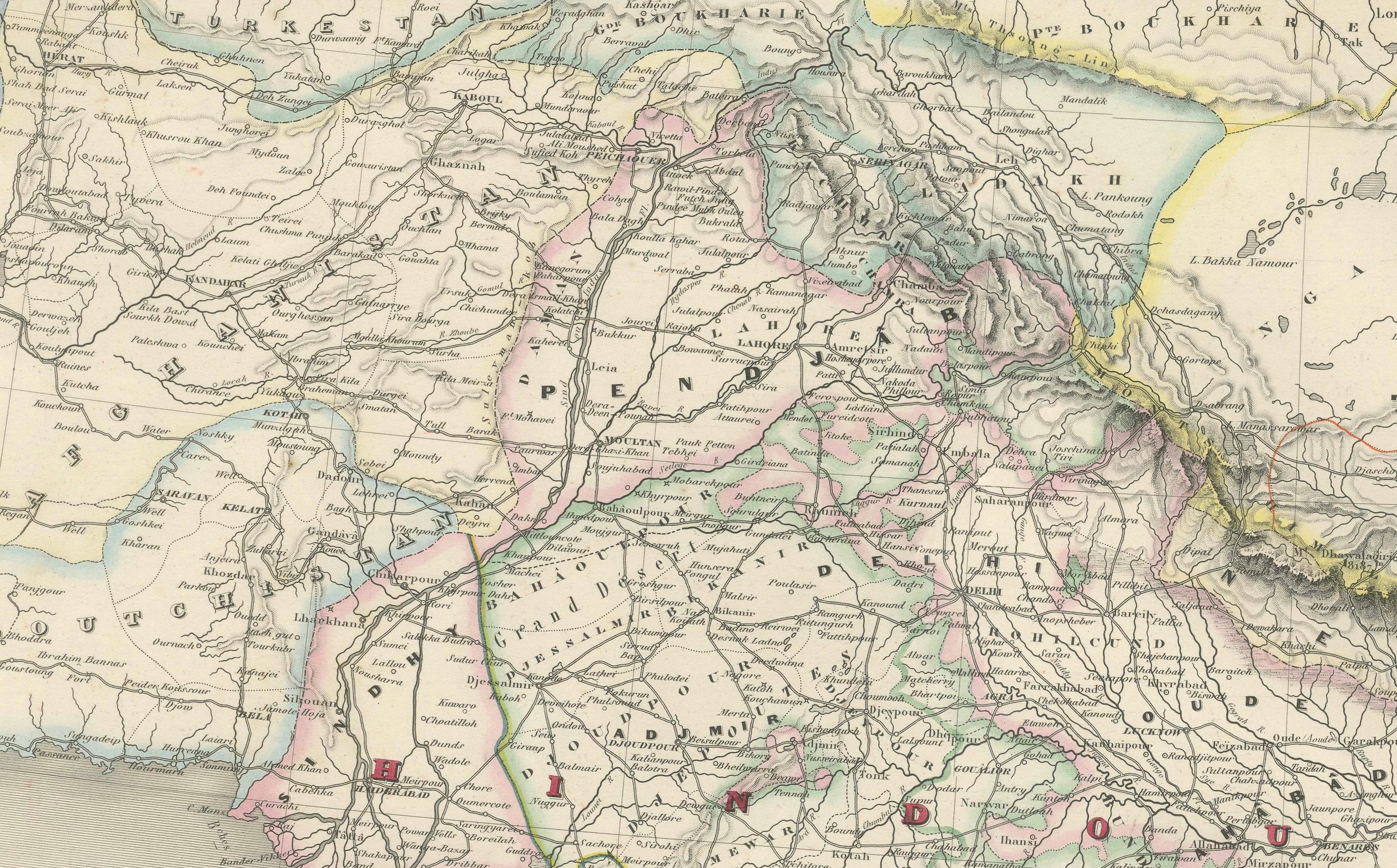
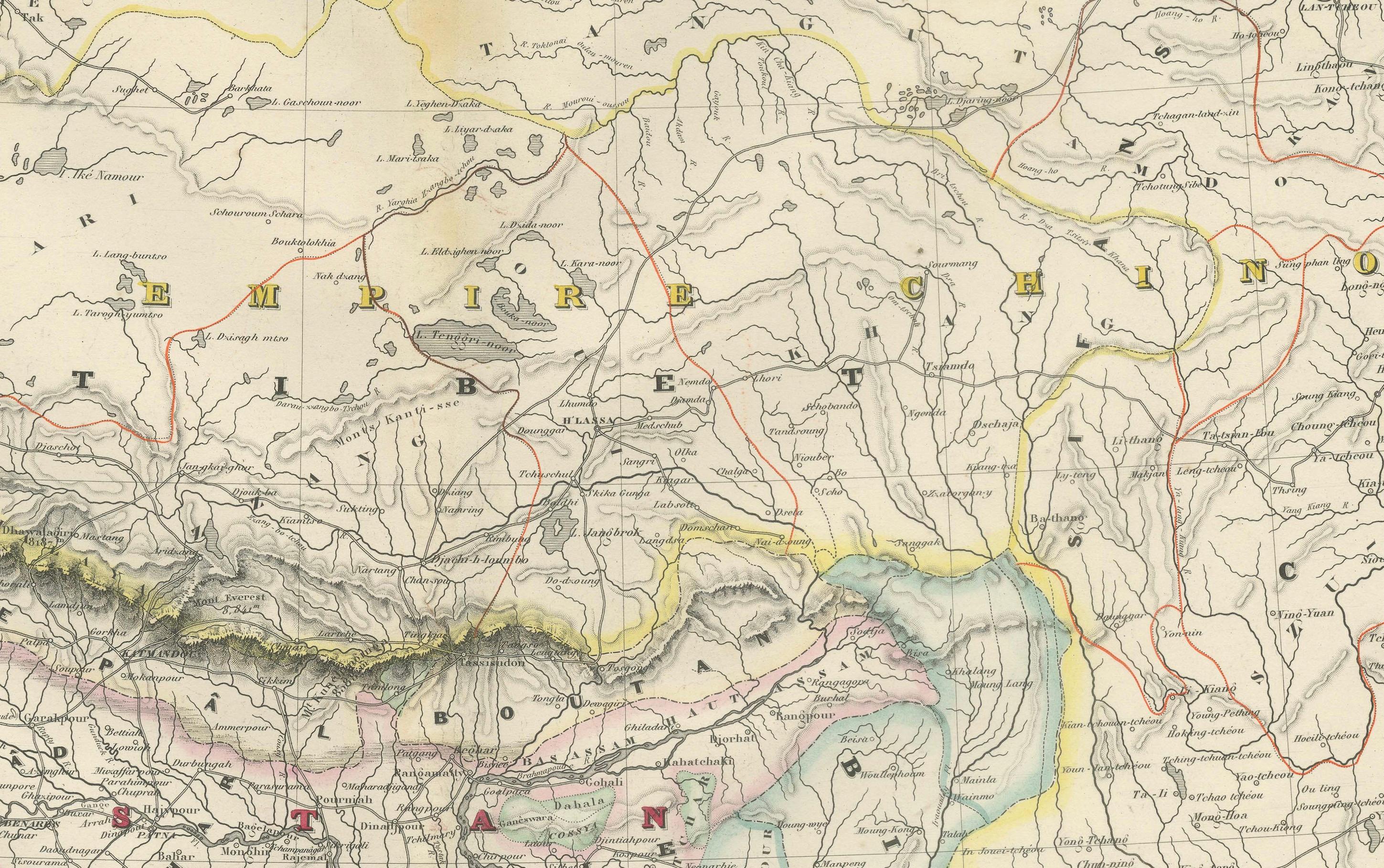
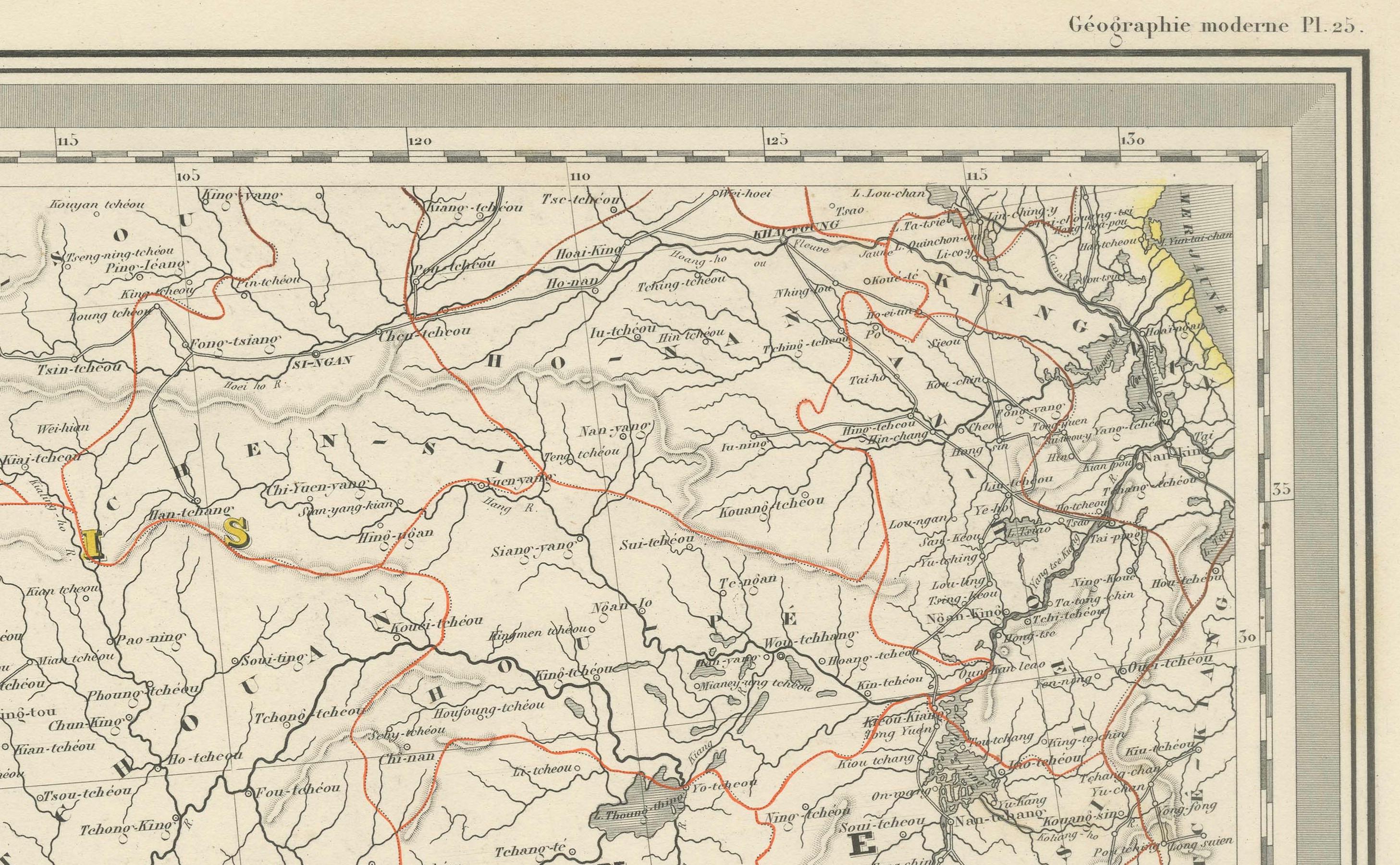
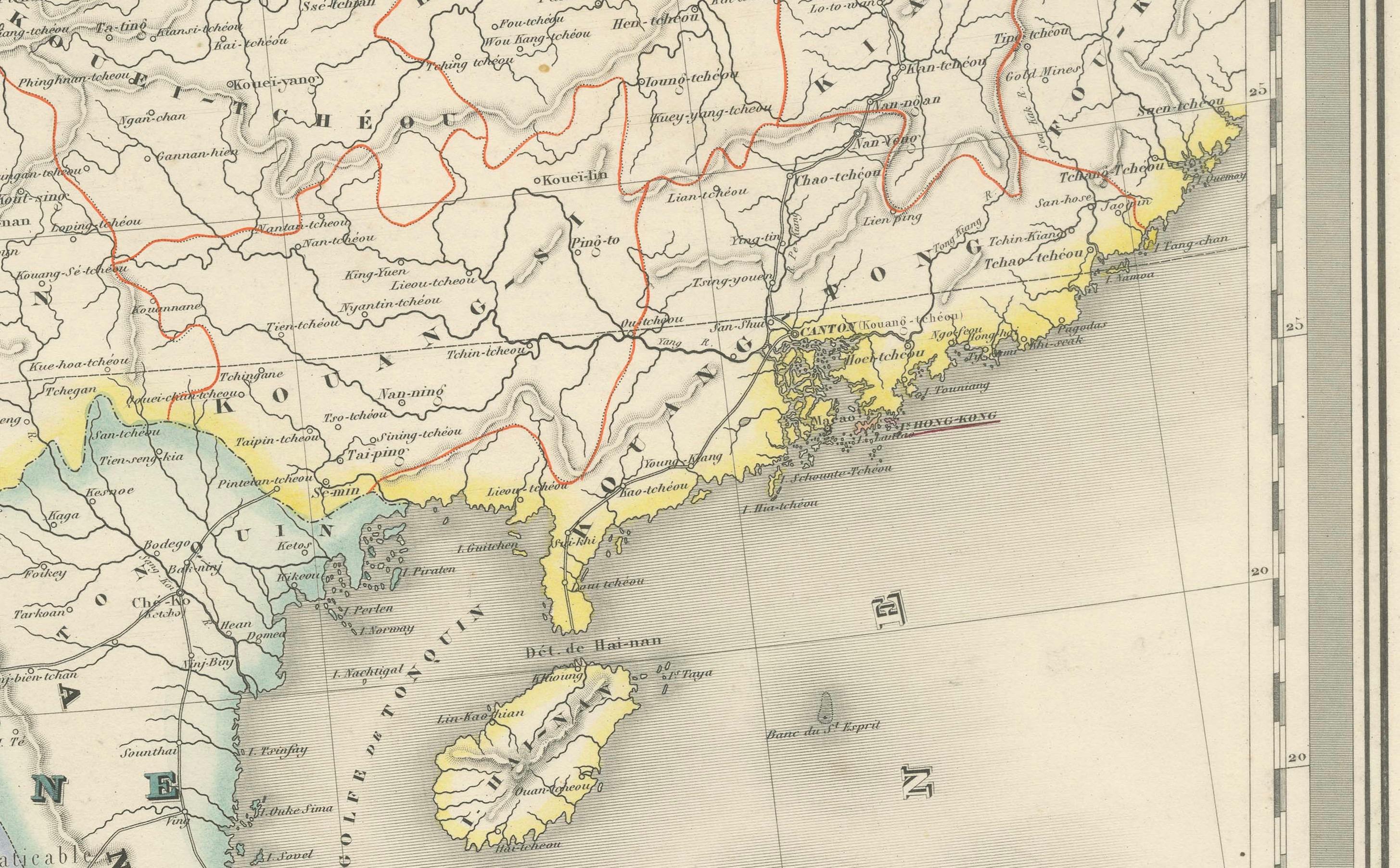
Antique Map of India & Southeast Asia – Chevalier Engraving, Malte-Brun, 1853
€ 880
One of a kind: this is the sheet in the photographs. Ships from Langweer, the Netherlands.
Date
1853
Sheet size
84.4 × 59.3 cm (33.2 × 23.3 in)
Reference
BG-13776-2
Condition
Very good overall. Clean, strong impression with original hand coloring. Slight toning, especially along the vertical centerfold (as issued). No tears or repairs. Wide margins and bright, stable paper.
About this sheet

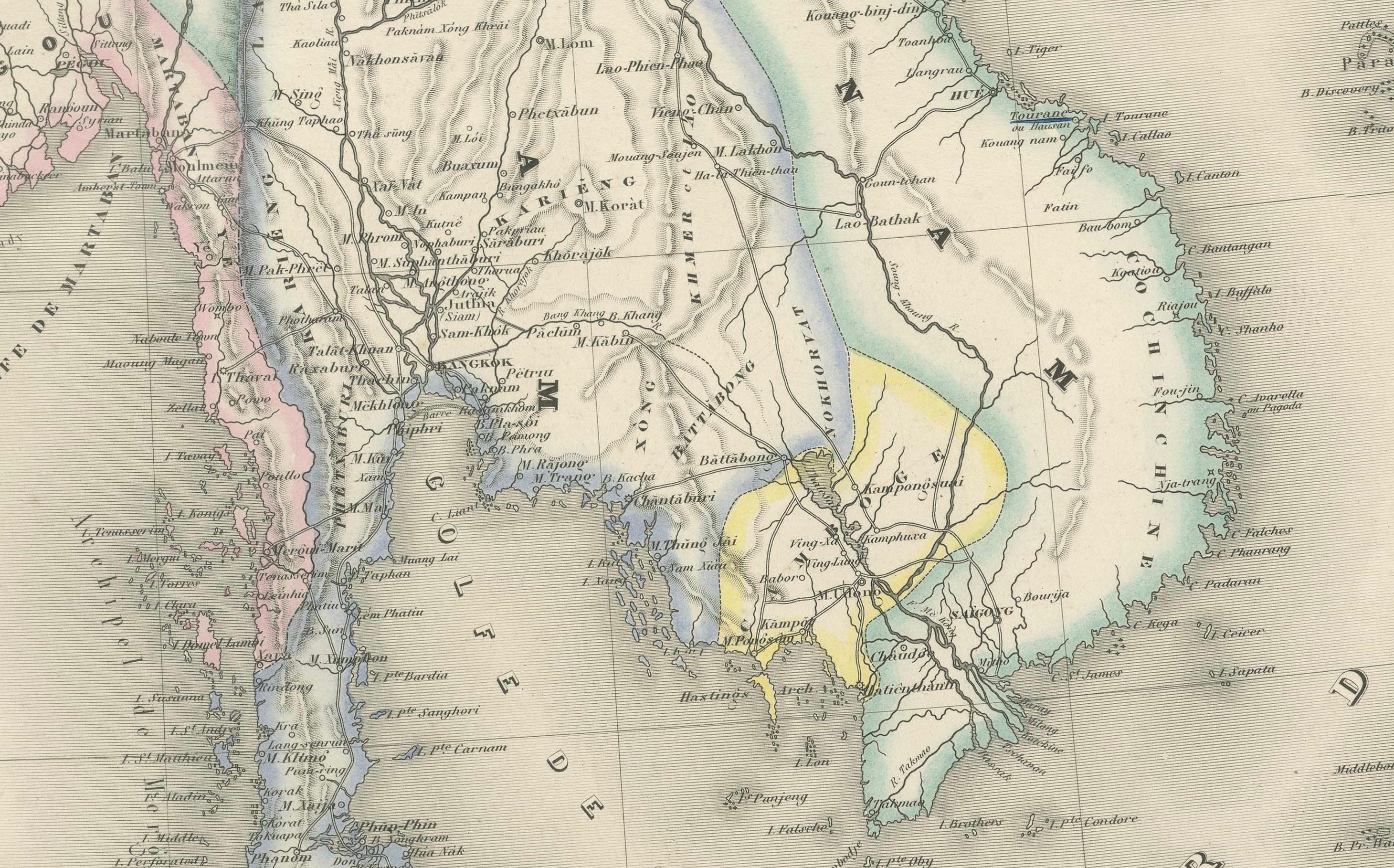
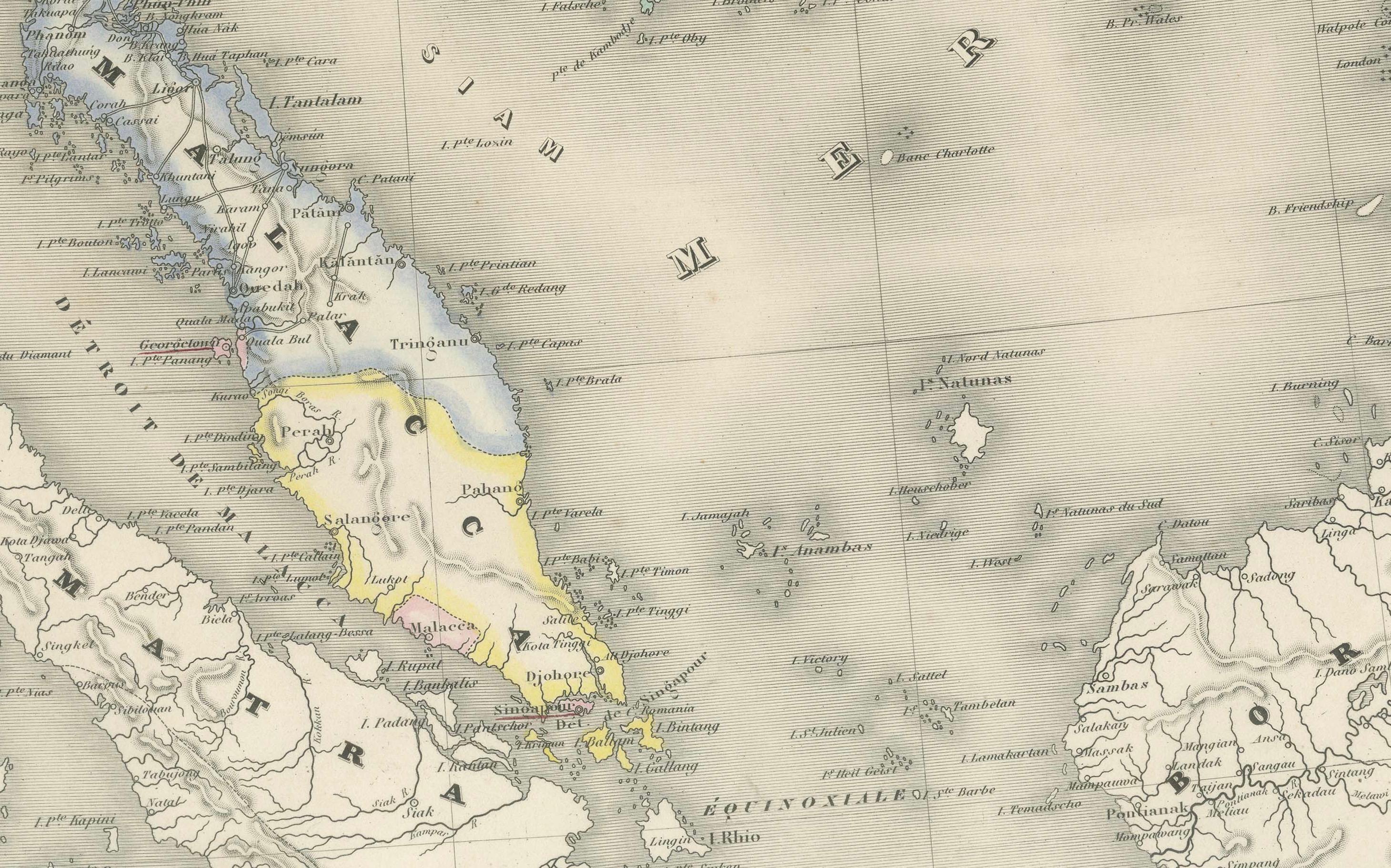
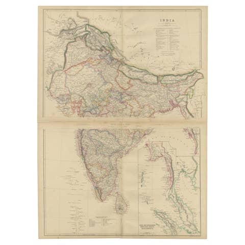
Antique Map of India and Southeast Asia – Chevalier Engraving from Malte-Brun’s Atlas, 1853
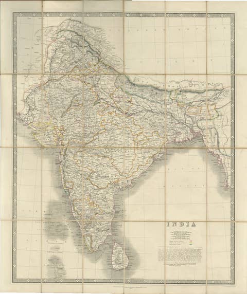
This beautifully engraved map titled “Inde, comprenant les Empires de la Chine, de l’Indoustan et de l’Indo-Chine” was published in 1853 by A.H. Dufour and drawn by Charles V. Monin. It was engraved by Ch. Dyonnet and printed by Chassant et Comp. for the renowned Atlas Universel de Géographie edited by Conrad Malte-Brun, a foundational figure in 19th-century French geography.
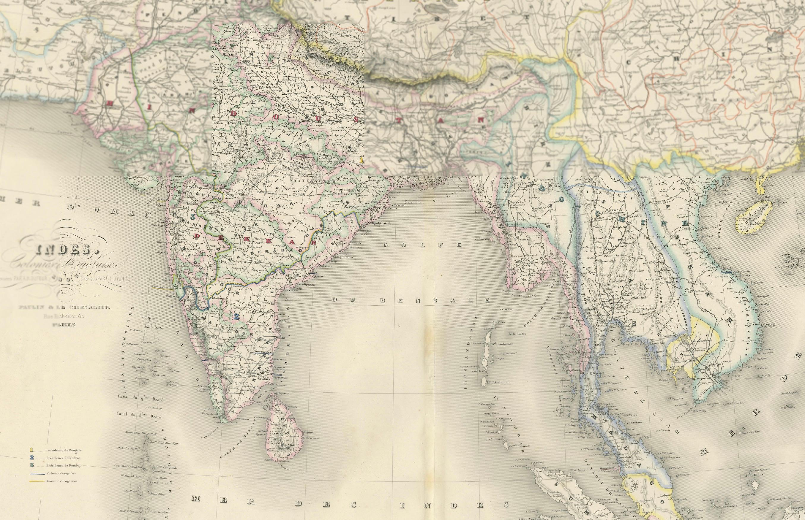
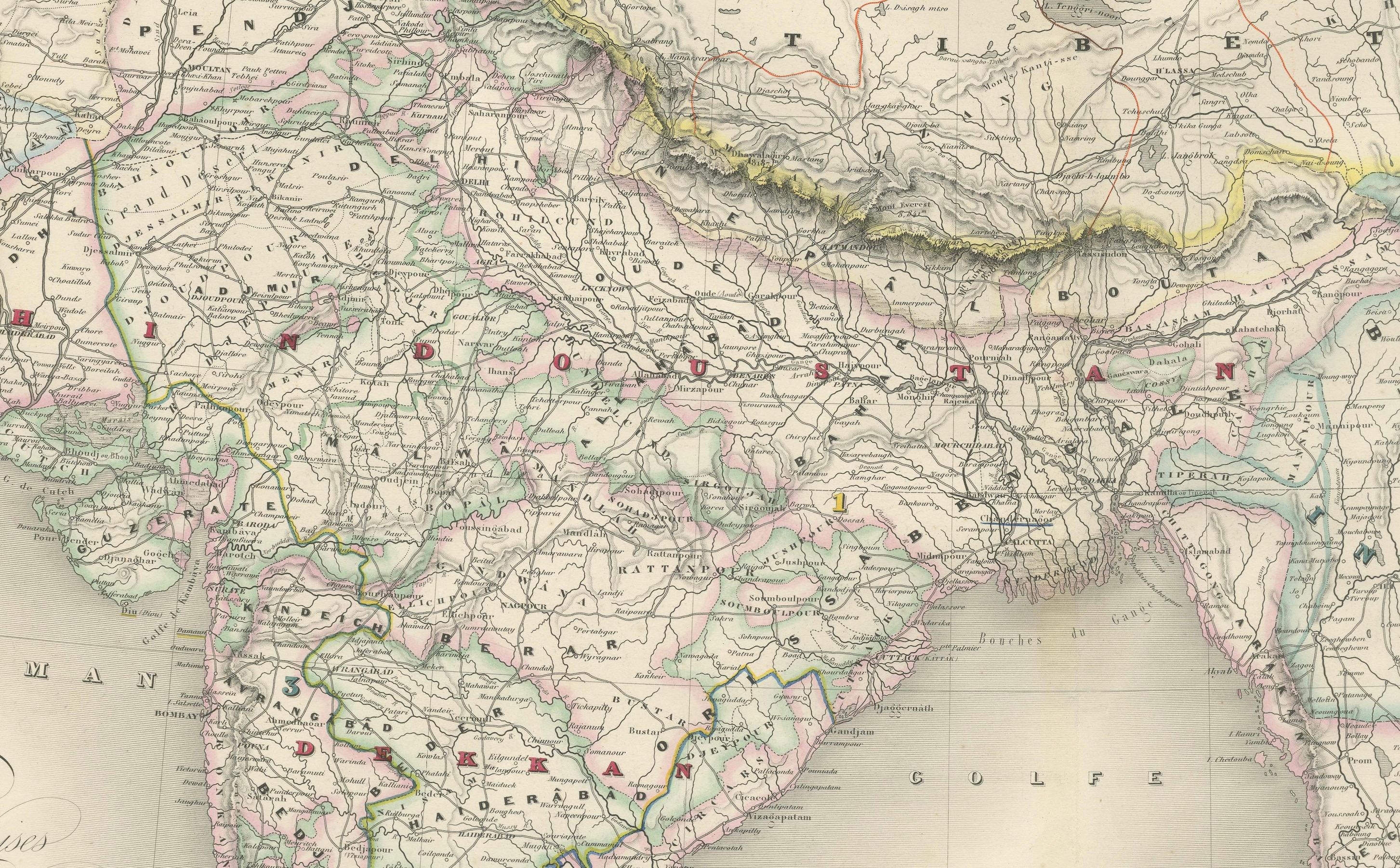
The map offers a comprehensive geographic view of the Indian subcontinent and Southeast Asia as they were understood in the mid-19th century. It stretches from Persia and Afghanistan in the west across India and Sri Lanka, through Burma and Siam (Thailand), all the way to Vietnam, Malaysia, southern China, and the northern part of the Philippines. Clearly labeled are British India’s major administrative divisions, princely states, and key cities such as Calcutta, Bombay, Madras, Delhi, Rangoon, and Bangkok. Also notable are the dense networks of roads, rivers, and mountain ranges carefully delineated in fine line engraving.
This map uses color coding to differentiate political boundaries and includes a legend identifying British possessions, independent kingdoms, tributary states, and trading centers. The Gulf of Bengal and the Bay of Bengal are clearly marked, along with maritime routes and topographic shading across the Himalayas and other mountainous regions.
The map was published at a time of major geopolitical developments in Asia, with European colonial powers expanding their influence across India and Southeast Asia. Its precision and clarity reflect the cartographic standards of French scientific publishing in the mid-19th century.
Condition: Very good overall. Clean, strong impression with original hand coloring. Slight toning, especially along the vertical centerfold (as issued). No tears or repairs. Wide margins and bright, stable paper.
Framing tips: Best displayed in a neoclassical or giltwood frame with a pale mat—cream or light grey—bringing out the subtle tones and delicate detail. Suitable for colonial history or exploration-themed decor.
Technique: Engraving with original hand color Maker: Ch. Dyonnet after Monin, Paris, 1853