About this sheet
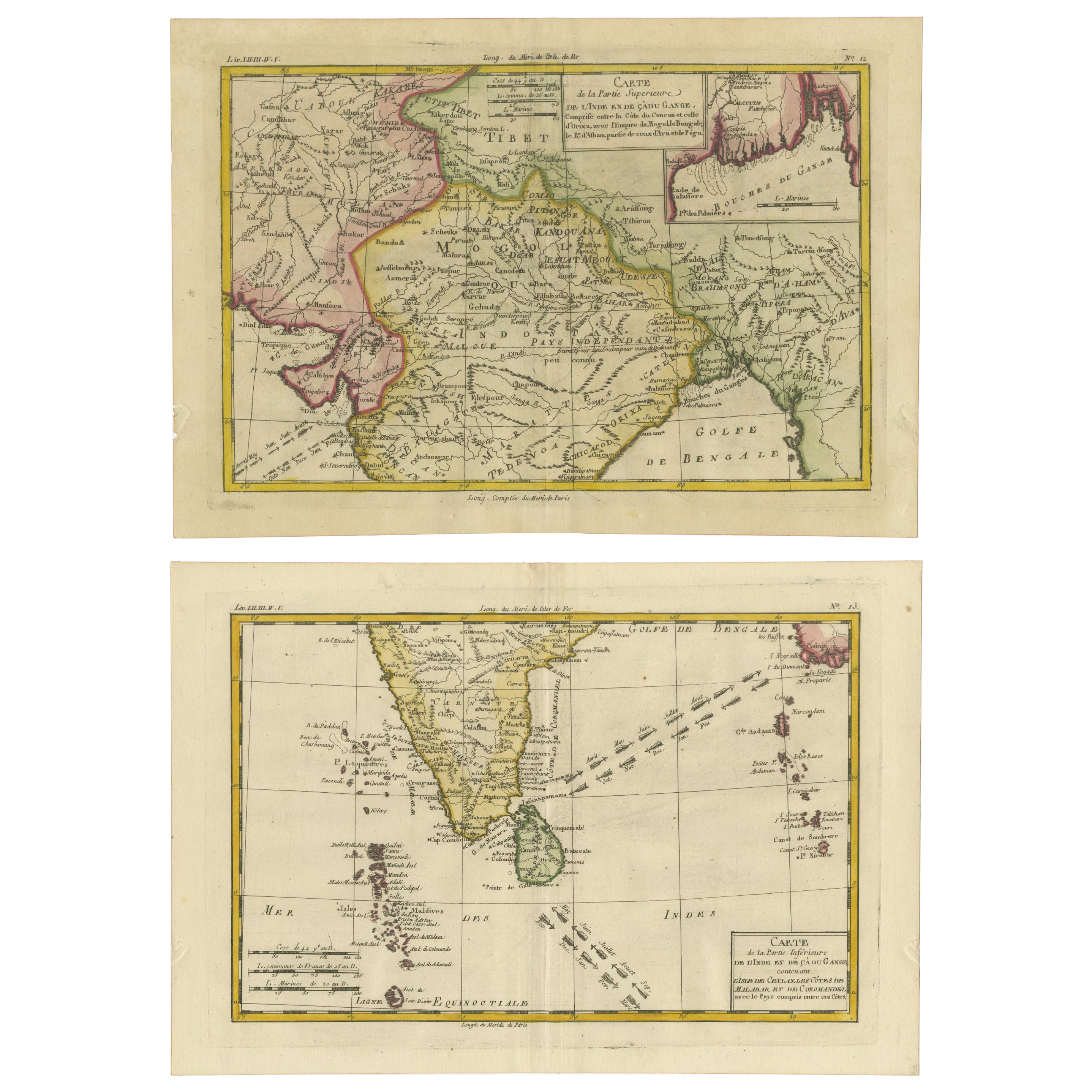
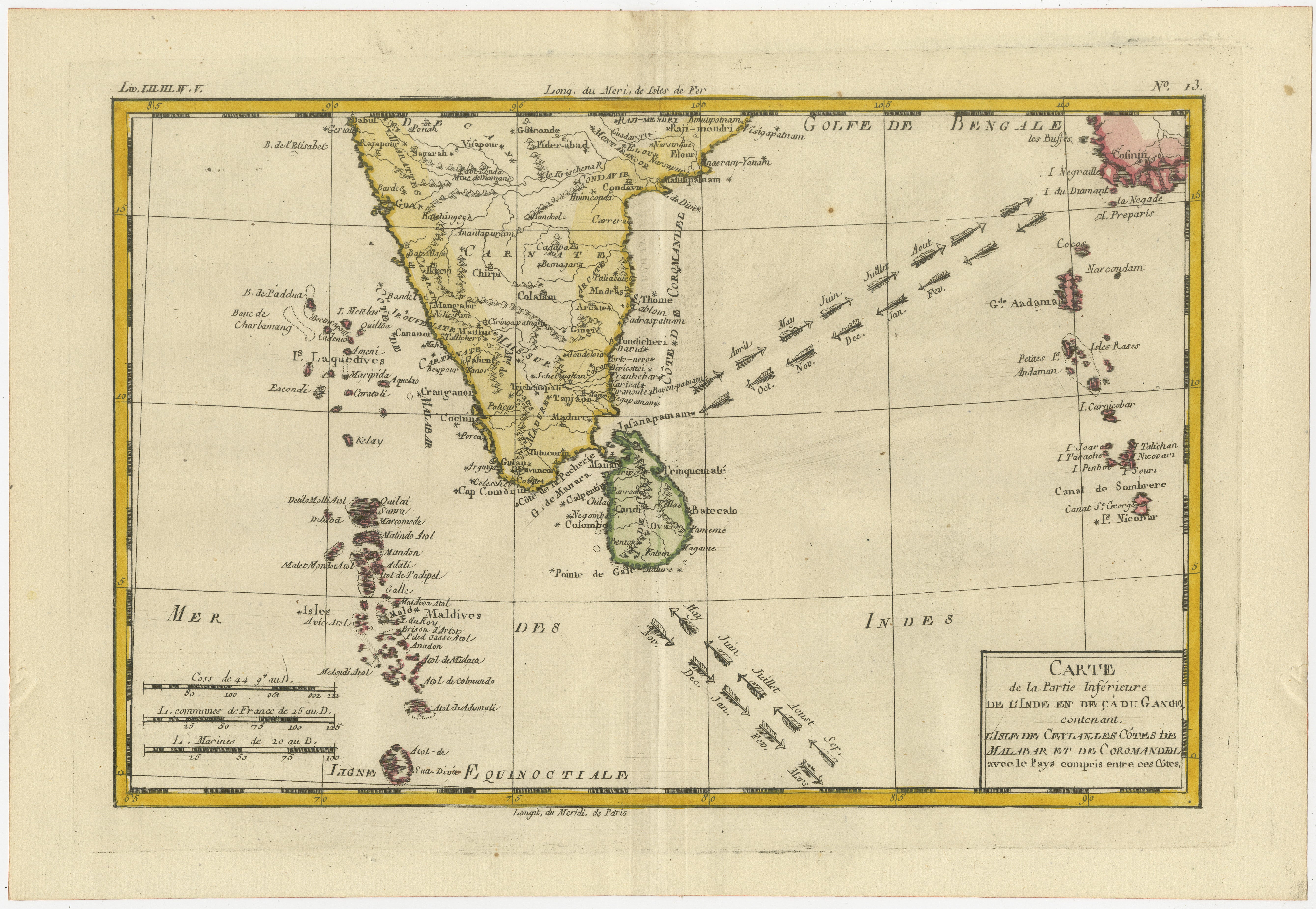
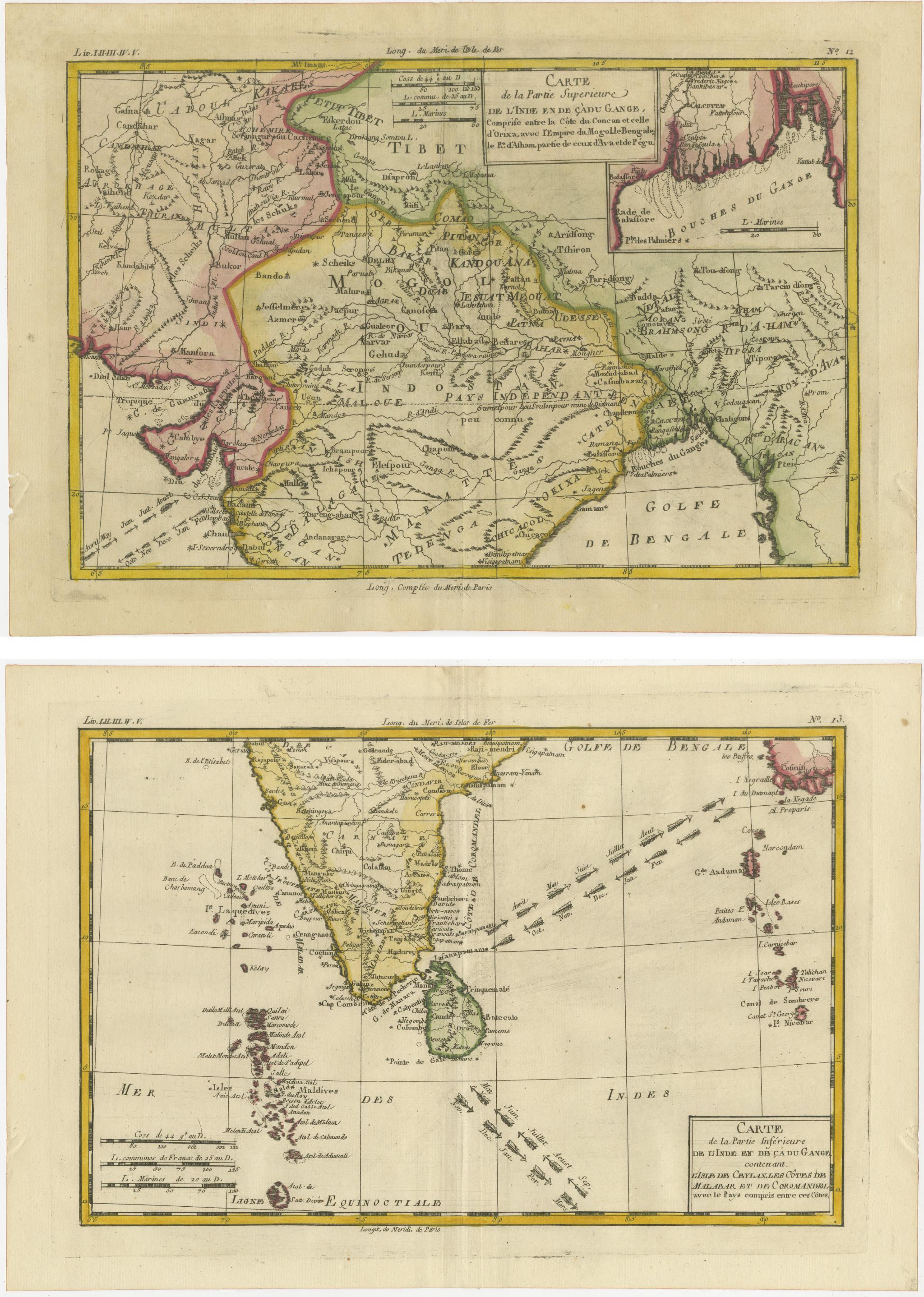
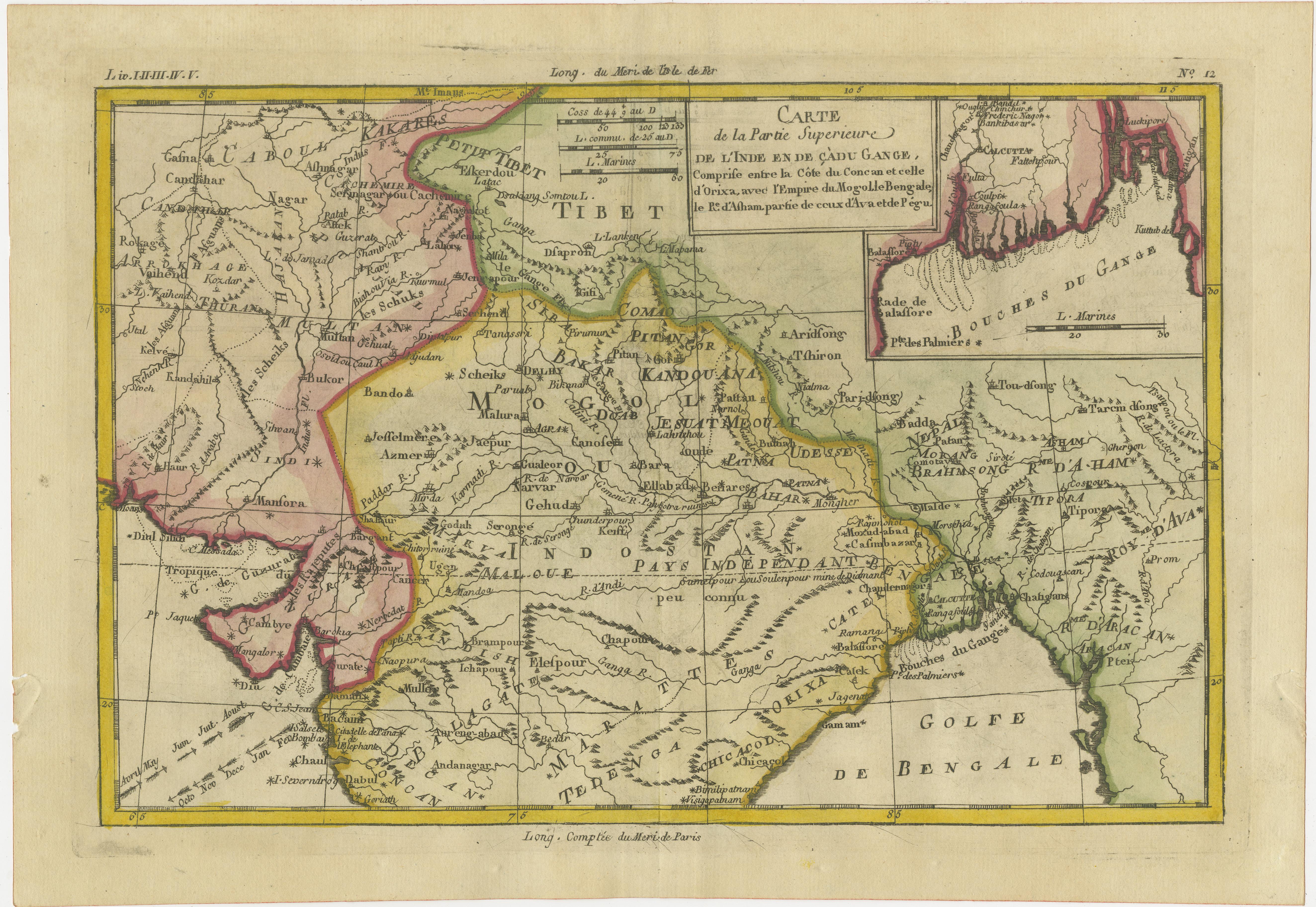
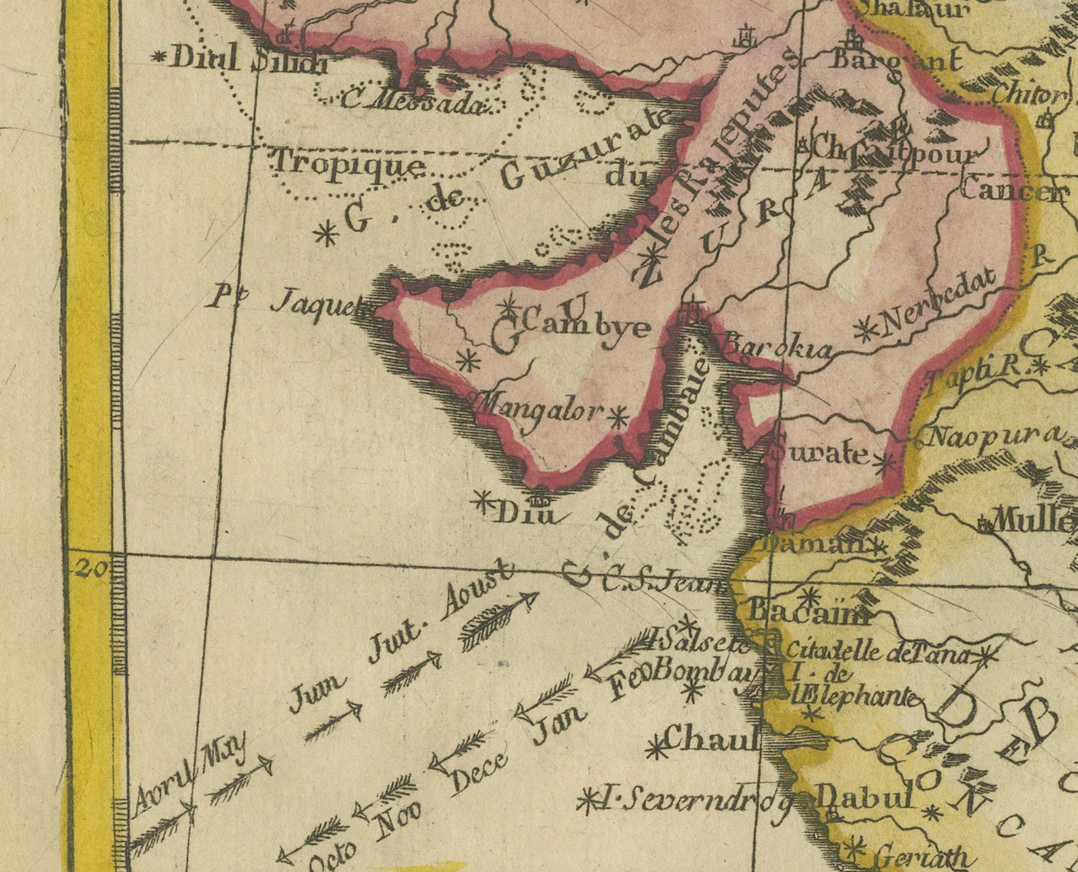
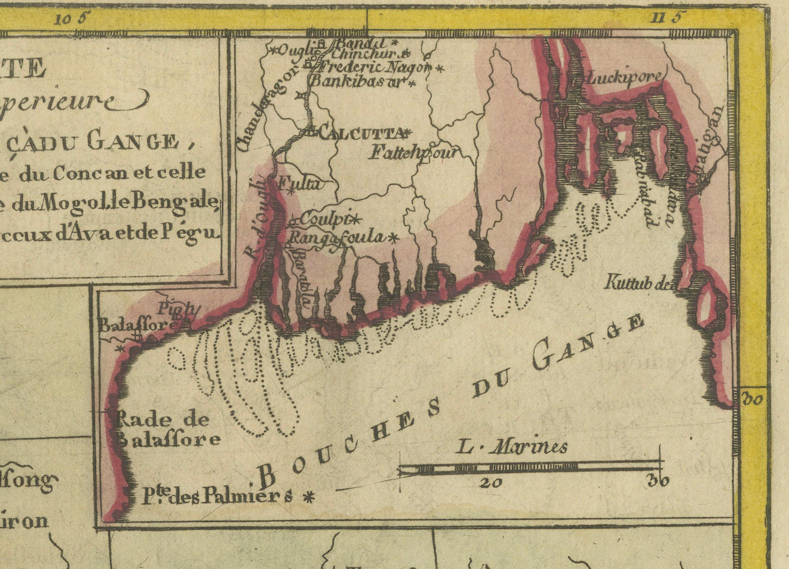
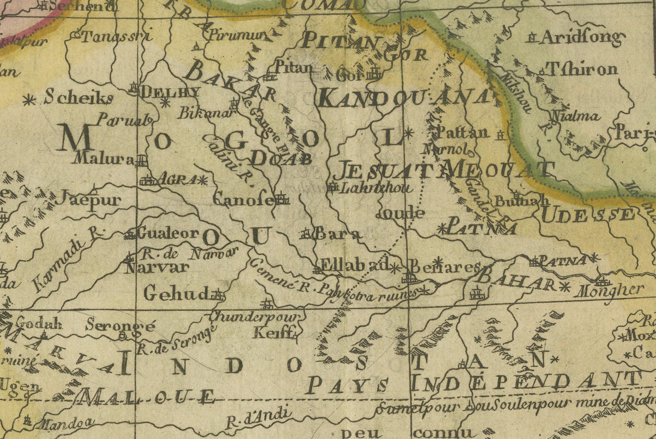
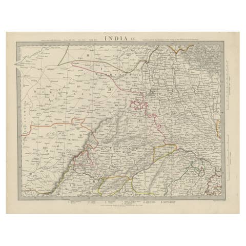
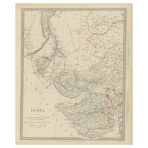
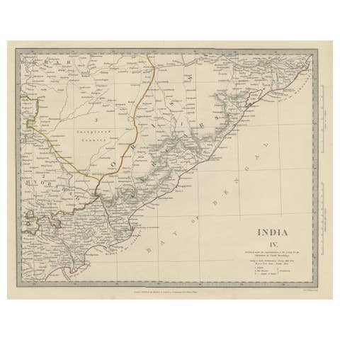
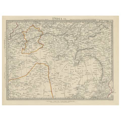
An exquisite set of two maps, 'Carte de la Partie Superieure De L'Inde en de Cadu Gange,' masterfully crafted by the renowned 18th-century French cartographer, Charles Marie Rigobert Bonne. This pair of maps, meticulously detailed and richly colored, offers a window into the bygone era of the Indian subcontinent and Ceylon, capturing the essence of the regions as they were known to the European powers of the time.
Presented in an elegant, adjoining format, these maps are perfectly aligned to be joined, creating a seamless and expansive cartographic display. Once framed together, they transform into a singular, magnificent panorama that is both a collector's delight and a statement piece for any discerning connoisseur of historical maps.
The potential to frame these maps side by side offers a unique opportunity not only to preserve a piece of history but also to create a breathtaking visual narrative of the cultural and geographical tapestry of Upper India and Ceylon. The maps invite admiration and contemplation, whether as an educational tool, a decorative masterpiece, or a tribute to the rich history of cartography.
Acquiring this set promises not just ownership of a rare cartographic treasure but an heirloom that carries with it the grandeur and the intrigue of the 18th century, a truly timeless addition to any collection or an elegant showpiece for a home or office.
The artist, Charles Marie Rigobert Bonne, was a significant French cartographer of the 18th century, known for his work in the 'Atlas de Toutes les Parties Connues du Globe Terrestre.' This atlas, apparently published in 1835, would include maps such as this on, showcasing detailed renderings of India and Ceylon (now known as Sri Lanka).
The maps reflect the geographical understanding and territorial divisions of the time, offering a French perspective on the Indian subcontinent and Ceylon. Bonne's work is characterized by a relatively sparse yet precise and clear style, focusing on accuracy and scientific detail rather than the ornamental aspects that were common in earlier cartography.
Such maps from Bonne's atlas would have been used for educational purposes, navigation, and by those with commercial interests in the region during a time when maritime trade routes were critical to European powers. They would also be valuable for their historical and artistic merit, representing the cartographic practices of the era.