About this sheet
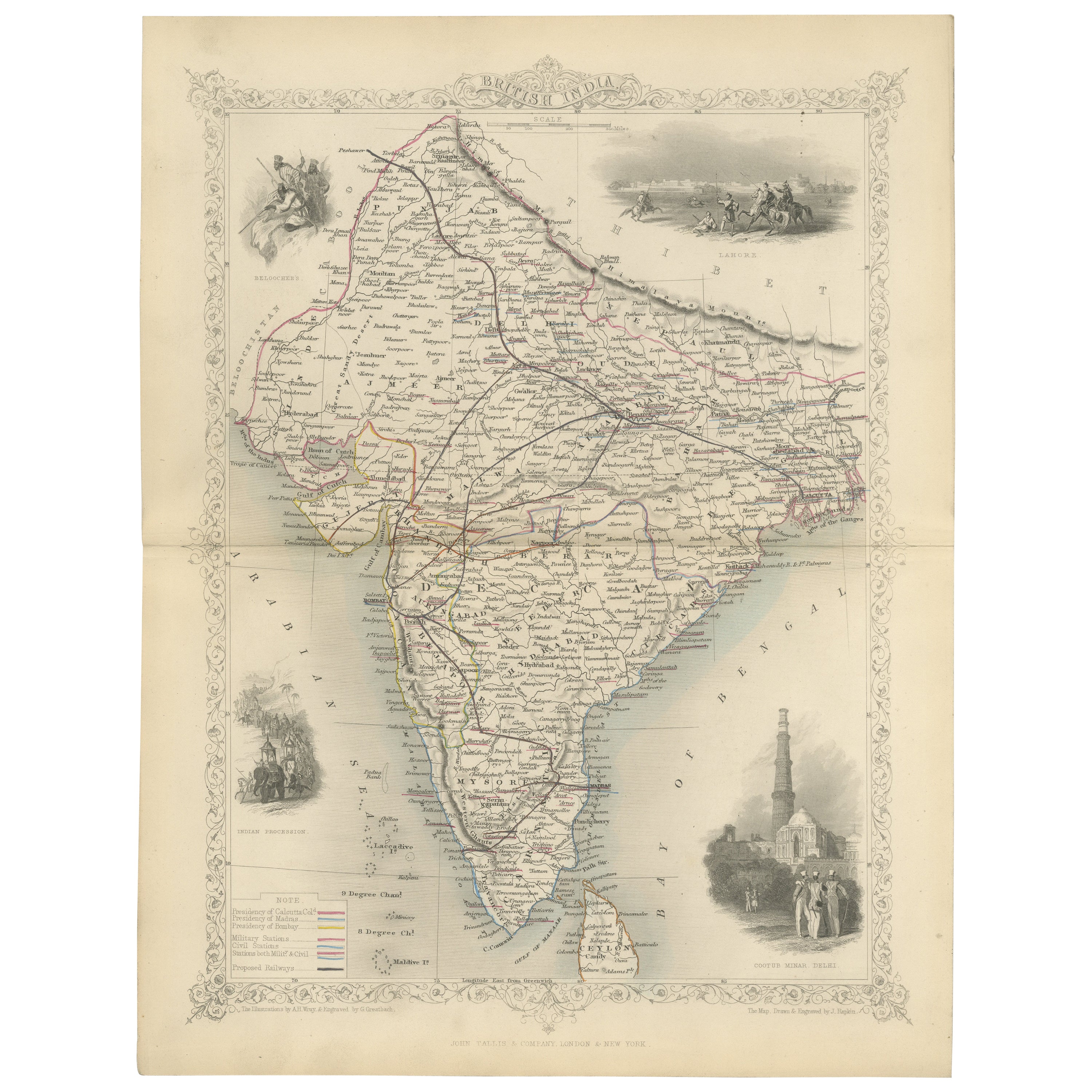
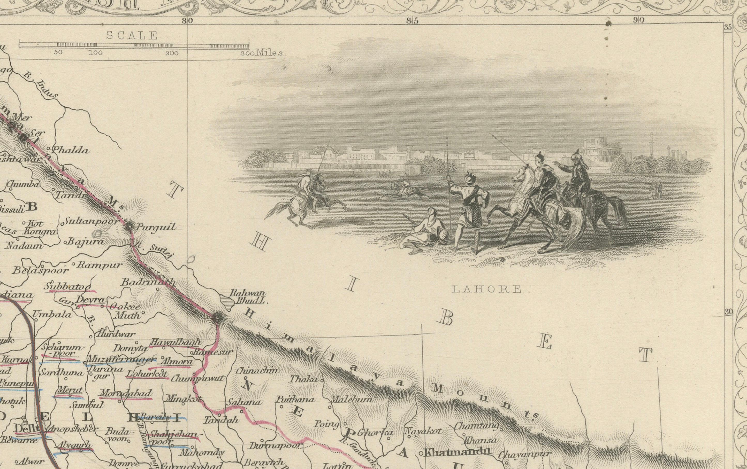
The Tallis maps, including the one of India, are known for their detailed and ornamental style. They were produced during the mid-19th century, a time when cartographic publishing became as much an art form as a means of geographic representation.
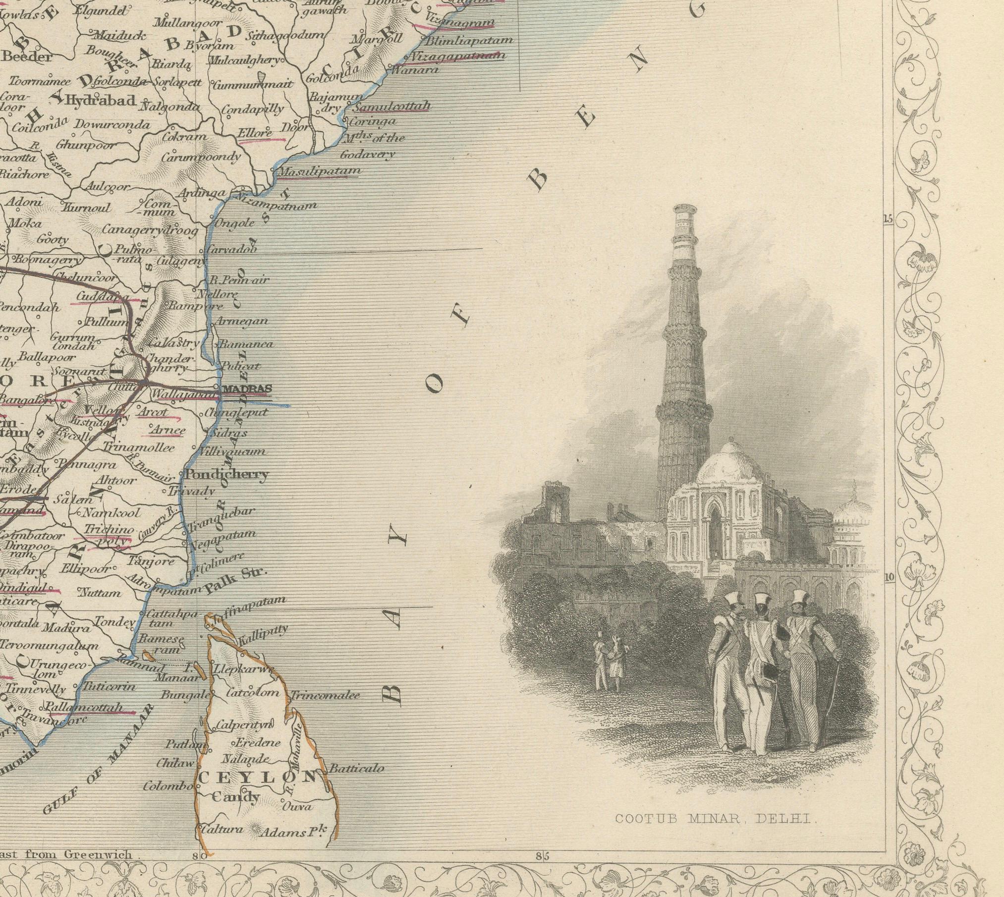
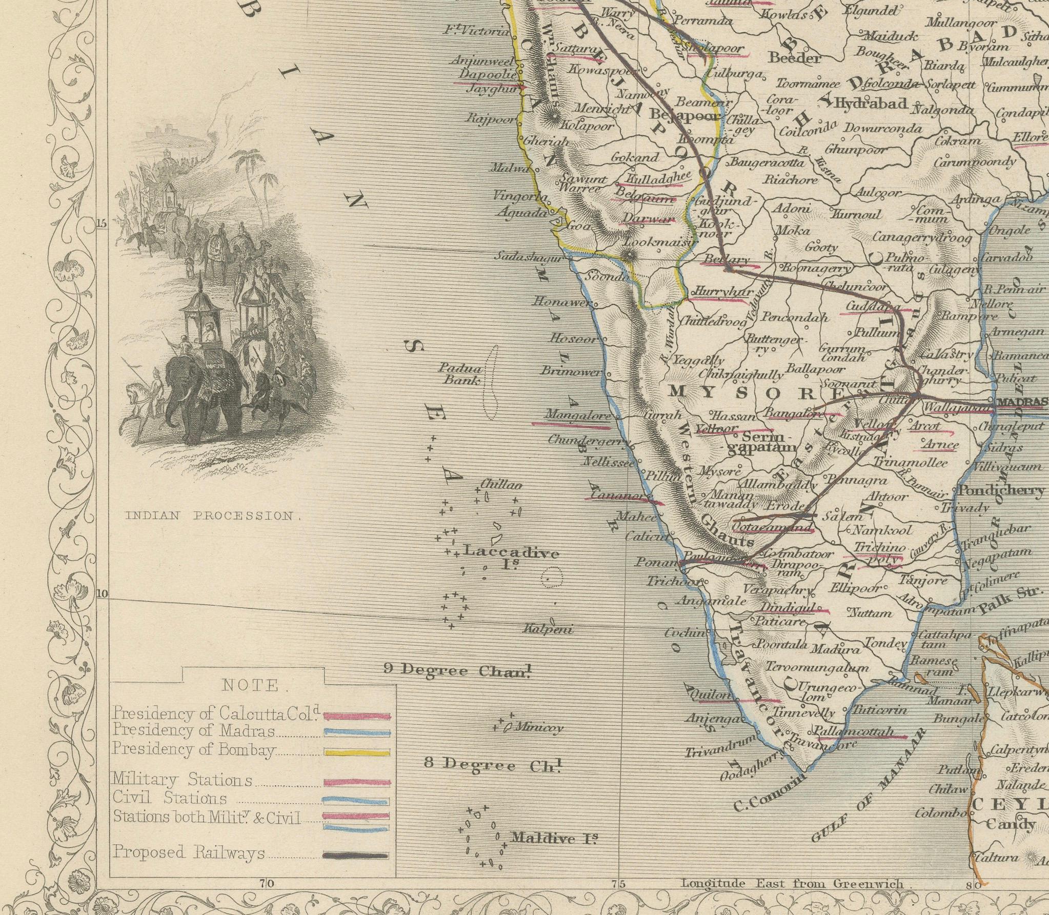
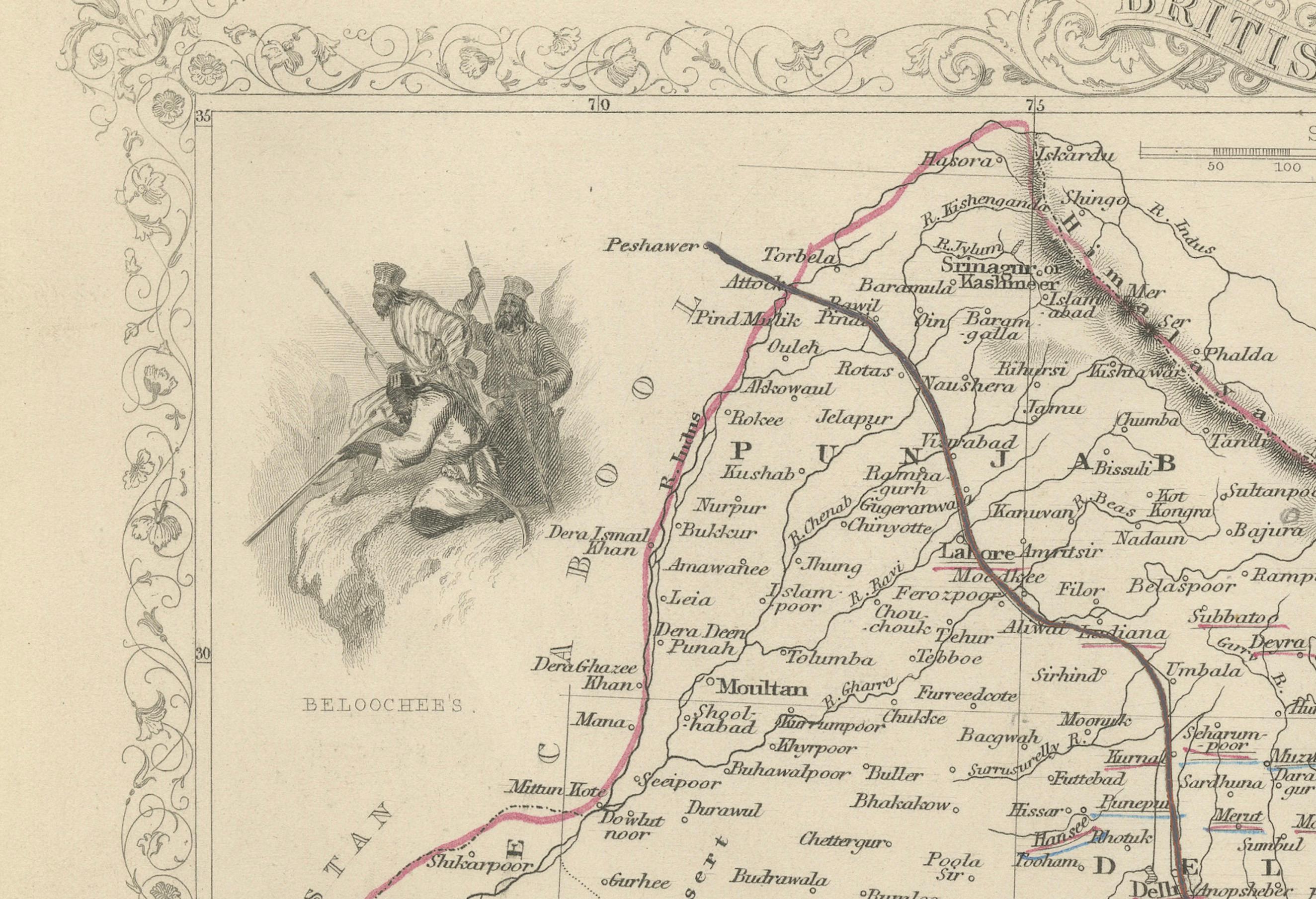
John Tallis & Company, founded by John Tallis, was known for creating maps with elaborate borders and vignettes surrounding the map itself. These maps often included illustrations that depicted scenes representative of the region's culture, significant local wildlife, architectural landmarks, and portraits of indigenous peoples, adding both to the aesthetic appeal and the educational value of the map.
Robert Montgomery Martin, mentioned as the author, was a prolific writer and an authority on the British Colonies. His works often contained detailed descriptions of the colonies' geography, culture, and economy, and were well-regarded during that time.
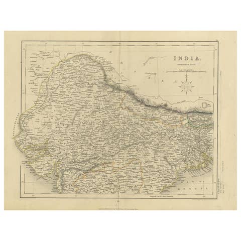
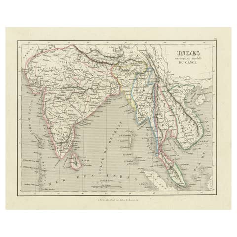
The map of India would likely have shown not just the geography, but also the political divisions during British rule, with regions marked according to British administrative boundaries. Key cities, transportation routes such as proposed railways, and natural features would also be detailed.
The vignettes on such a map could include depictions of significant landmarks like the Qutub Minar in Delhi, or typical scenes of local life, such as depictions of Indian elephants or the Bengal Tiger, which would be drawn with Western stylistic influences but aimed to provide a sense of the exotic nature of the colony.
As for the Tallis series, it was not just limited to India but spanned the entire globe, offering a glimpse into the 19th-century British perspective of the world and its diverse cultures, landscapes, and peoples. The maps were as much tools for education and reference as they were symbols of the reach of the British Empire at its height.