Hand-Colored Map of West India Islands: St. Christopher's, St. Lucia and Nevis
€ 580
One of a kind: this is the sheet in the photographs. Ships from Langweer, the Netherlands.
Sheet size
54 × 73.5 cm (21.3 × 28.9 in)
Reference
BG-13619-1
Condition
good, given age. Overall light foxing. Vertical folds as issued. General age-related toning and/or occasional minor defects from handling. Please study scan carefully.
About this sheet

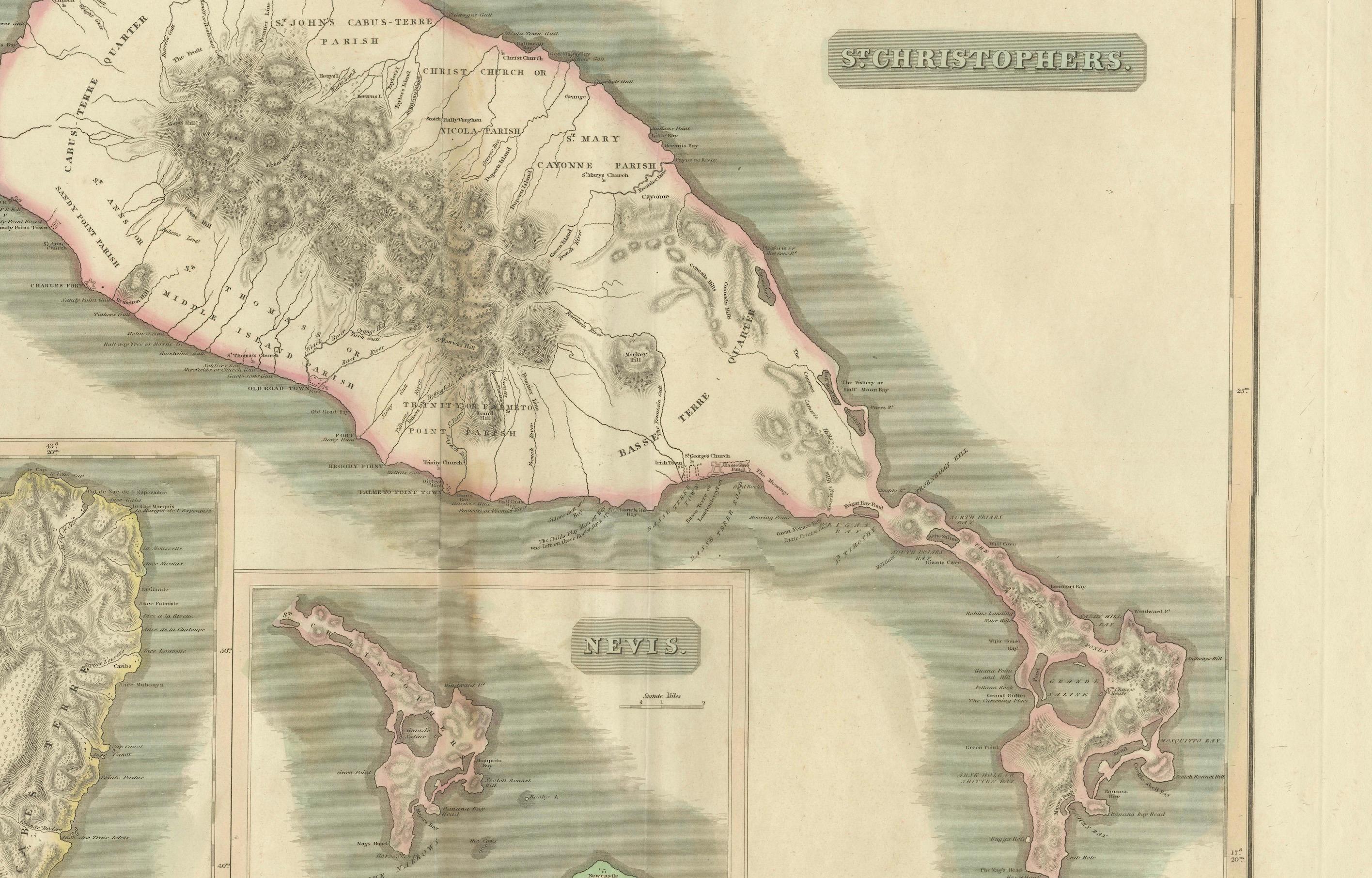
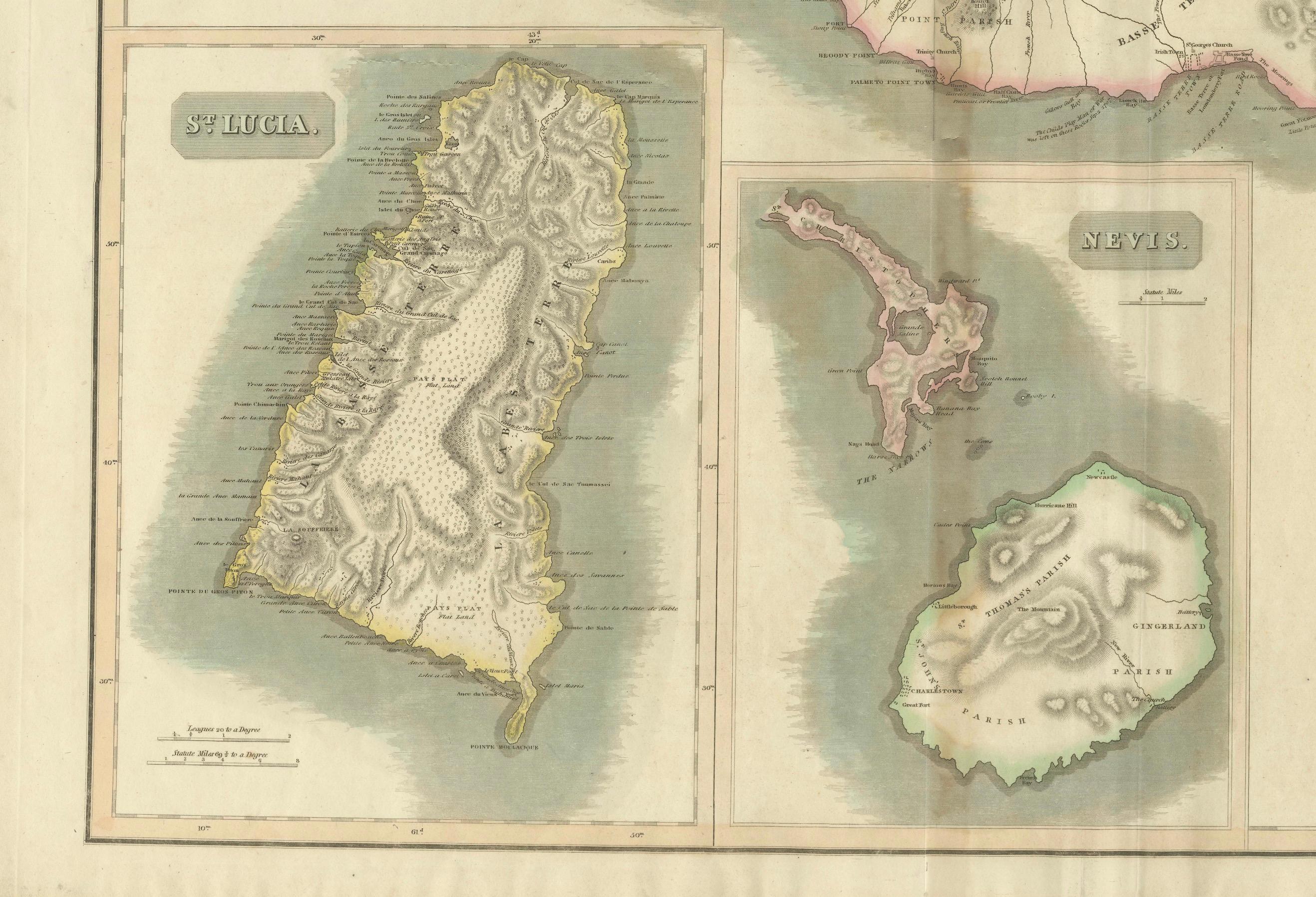
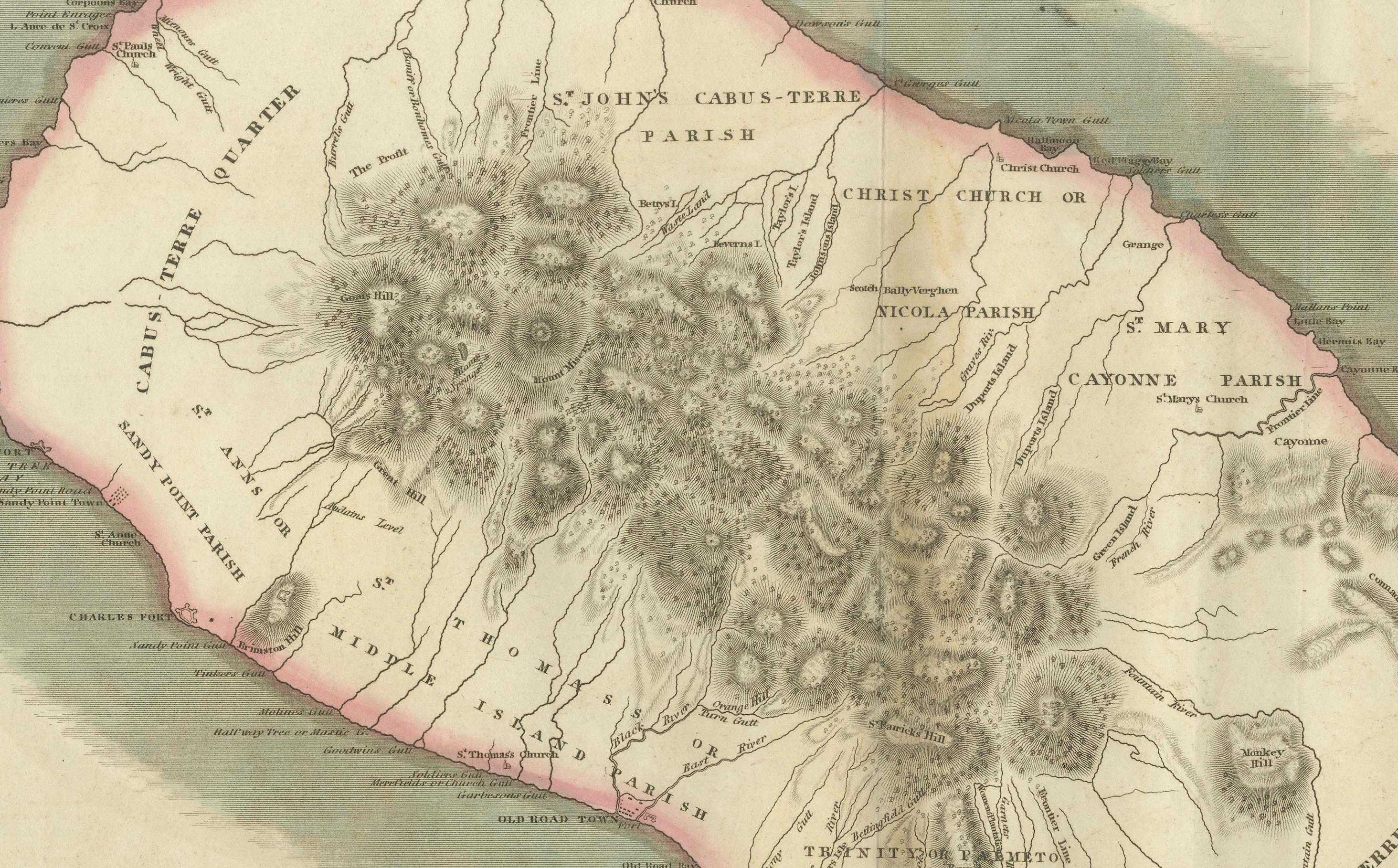
This map, titled "West India Islands," was published by John Thomson & Co. in 1821 as part of *Thomson's New General Atlas.* The map offers detailed depictions of three key islands in the West Indies on a single sheet: **St. Christopher's (St. Kitts), St. Lucia, and Nevis**. These maps are colored and beautifully rendered to reflect the geography of the islands during the early 19th century.
### Key Details: - Publisher: J. Thomson & Co., Edinburgh - Publication Year: 1821 - Language: English - Media Type: Map - Physical Size: The overall sheet measures approximately 51 x 62 cm.
### Features of the Map: 1. St. Christopher's (St. Kitts): This map shows detailed topography, including mountains, settlements, plantations, and key landmarks of the island. The coastline and features such as bays and points are clearly outlined.
2. St. Lucia: The map includes detailed geographic features of the island, with mountains, rivers, and other natural landmarks prominently marked. The surrounding coastline is also carefully detailed.
3. Nevis: This smaller island is shown in a detailed inset, including topographical features and the placement of major settlements and plantation areas.
### Significance: The map is a valuable historical document, providing insight into the geographic knowledge and colonial interests of the British in the early 19th century. The attention to detail and hand-coloring make this map not only an informative tool but also a piece of decorative cartography from the period. The clear layout, combined with the presence of multiple maps on one sheet, makes it unique and practical for the time it was published.
This map would have been part of a larger atlas used for reference, showcasing the intricate mapping of the Caribbean islands and their importance to British maritime and colonial history.