About this sheet
Ceylon, Burmah, Siam and Anam, Antique Map of South & Southeast Asia, 1860
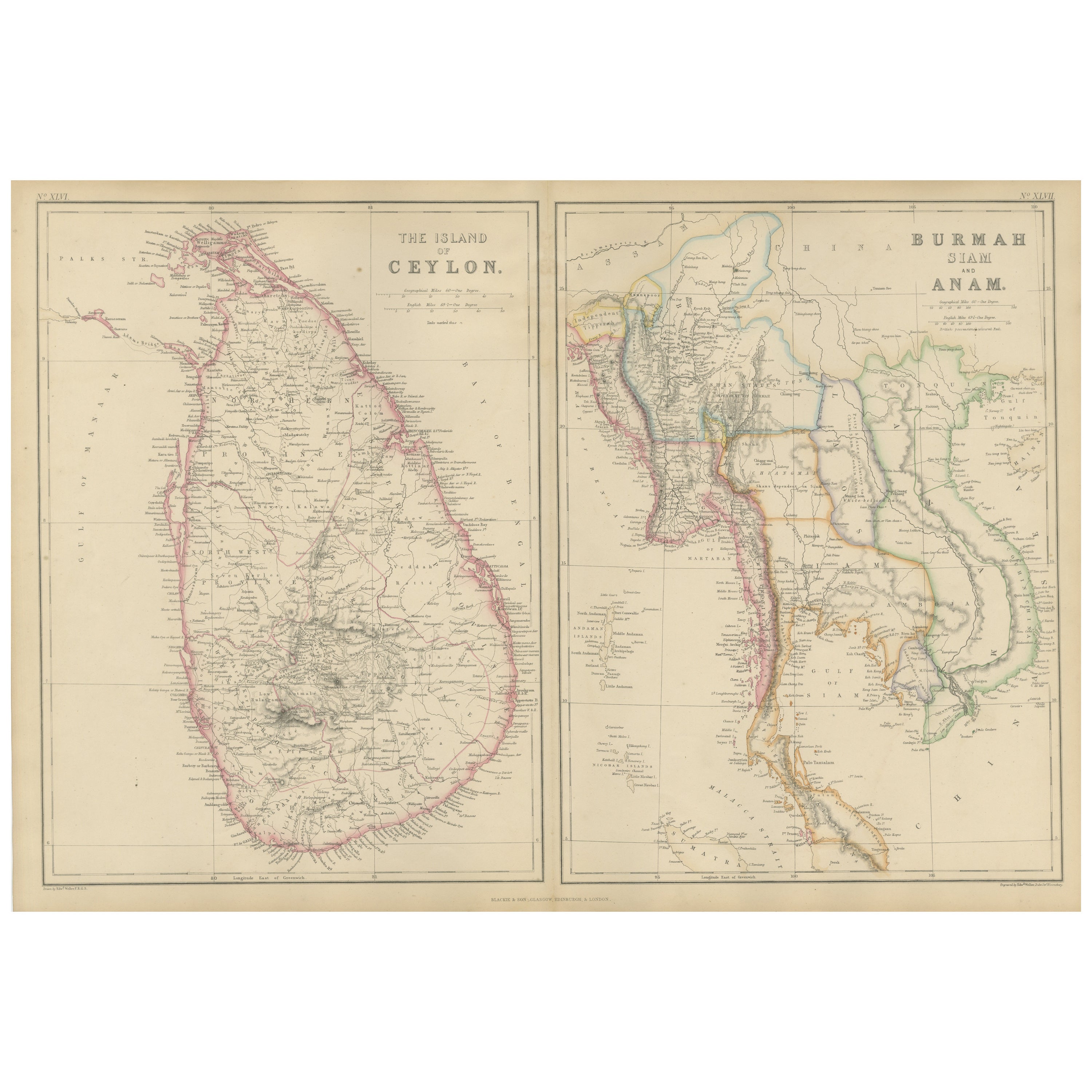
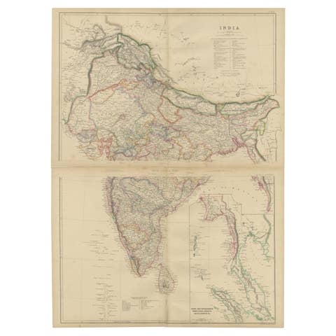
This original antique map presents two detailed panels titled The Island of Ceylon and Burmah, Siam and Anam, offering a mid-19th-century British cartographic view of South and Southeast Asia. The map originates from The Imperial Atlas of Modern Geography and was published in 1860 by W. G. Blackie, one of the leading British atlas publishers of the Victorian era.
The left panel depicts the island of Ceylon (present-day Sri Lanka), clearly outlined in original hand coloring. Mountain ranges, river systems, towns, roads, and coastal features are finely engraved, reflecting British colonial administration and geographic knowledge during the period when Ceylon was a Crown Colony. Ports, inland settlements, and plantation regions are carefully marked, emphasizing the island’s strategic and economic importance in the Indian Ocean.
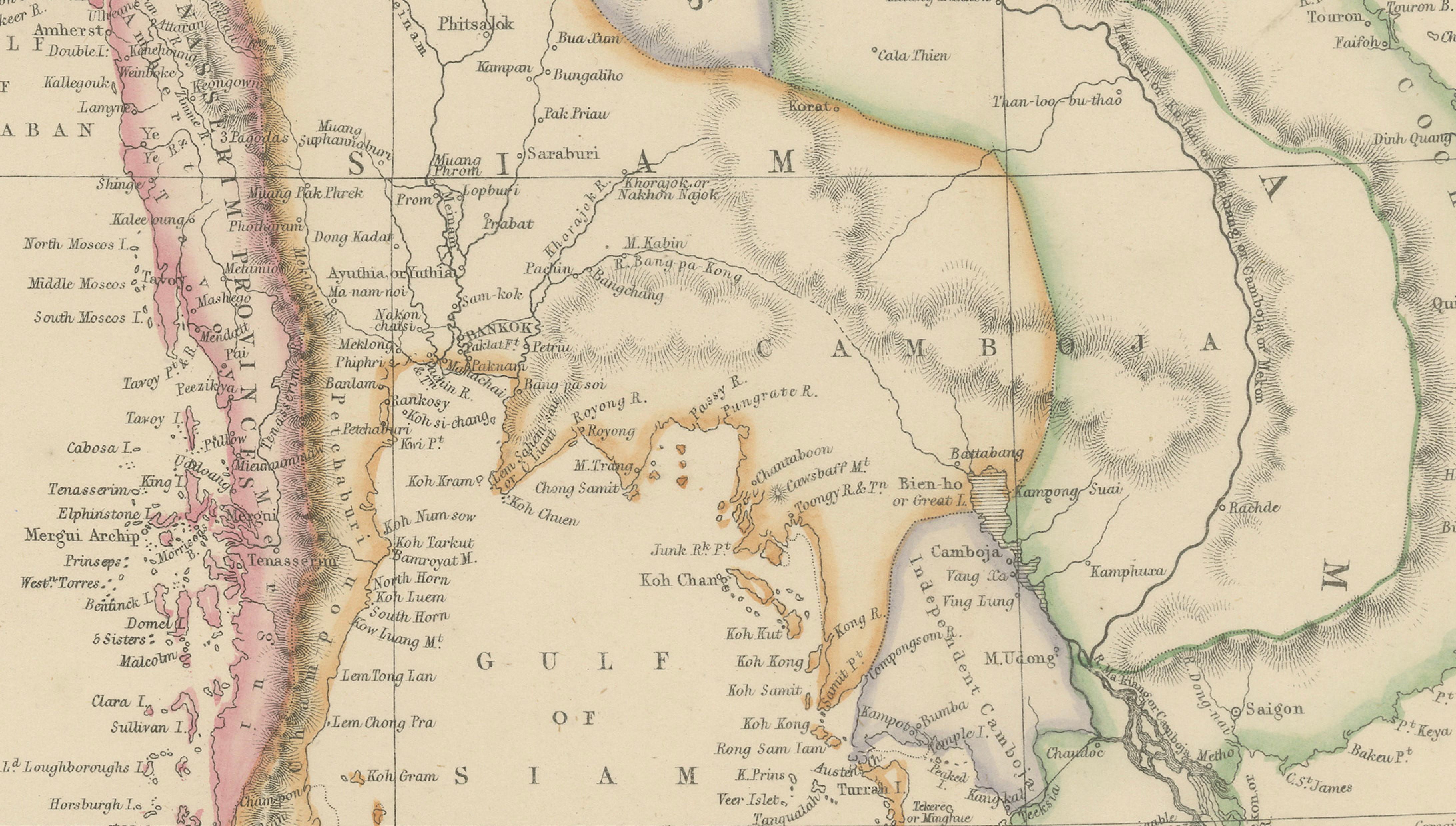
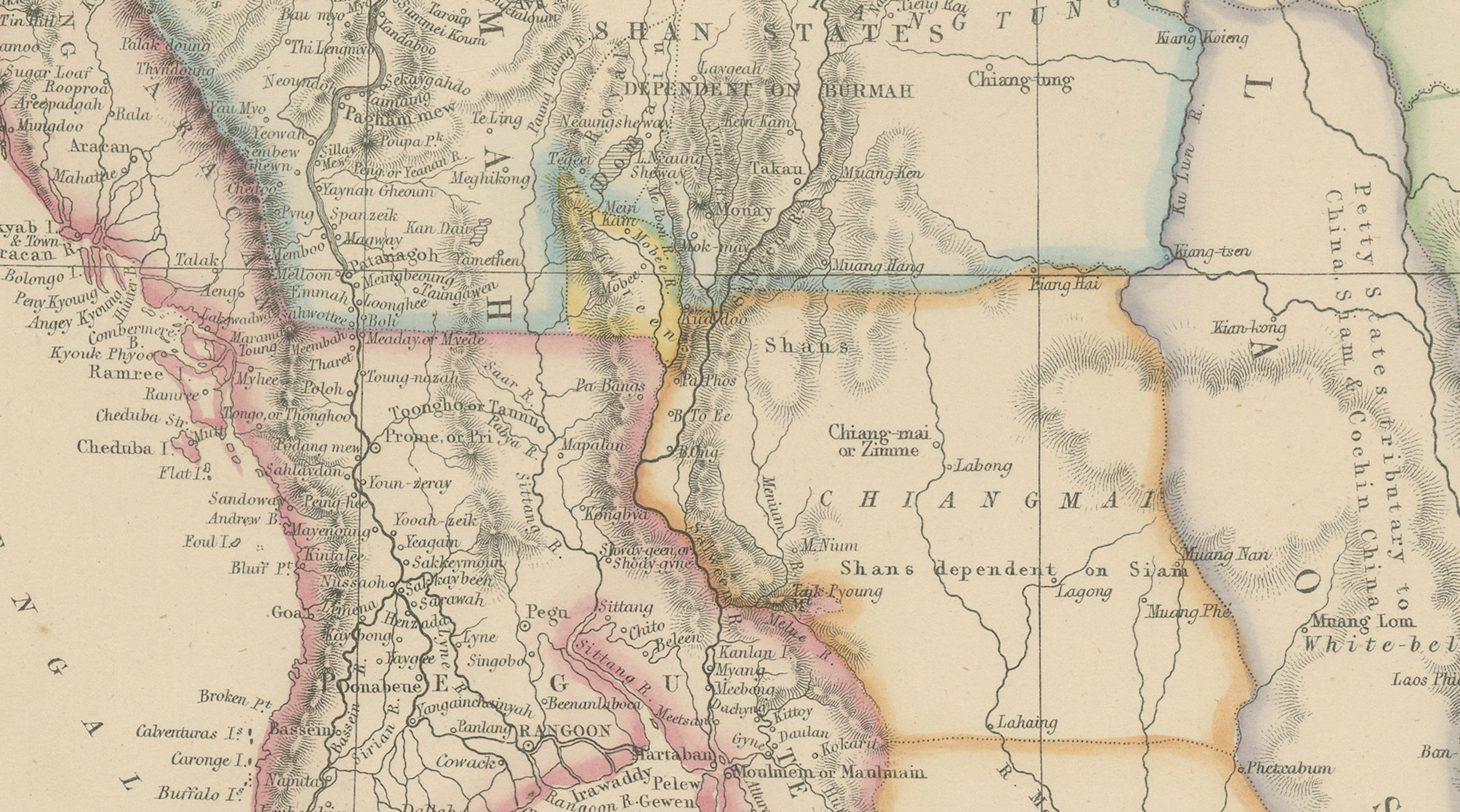
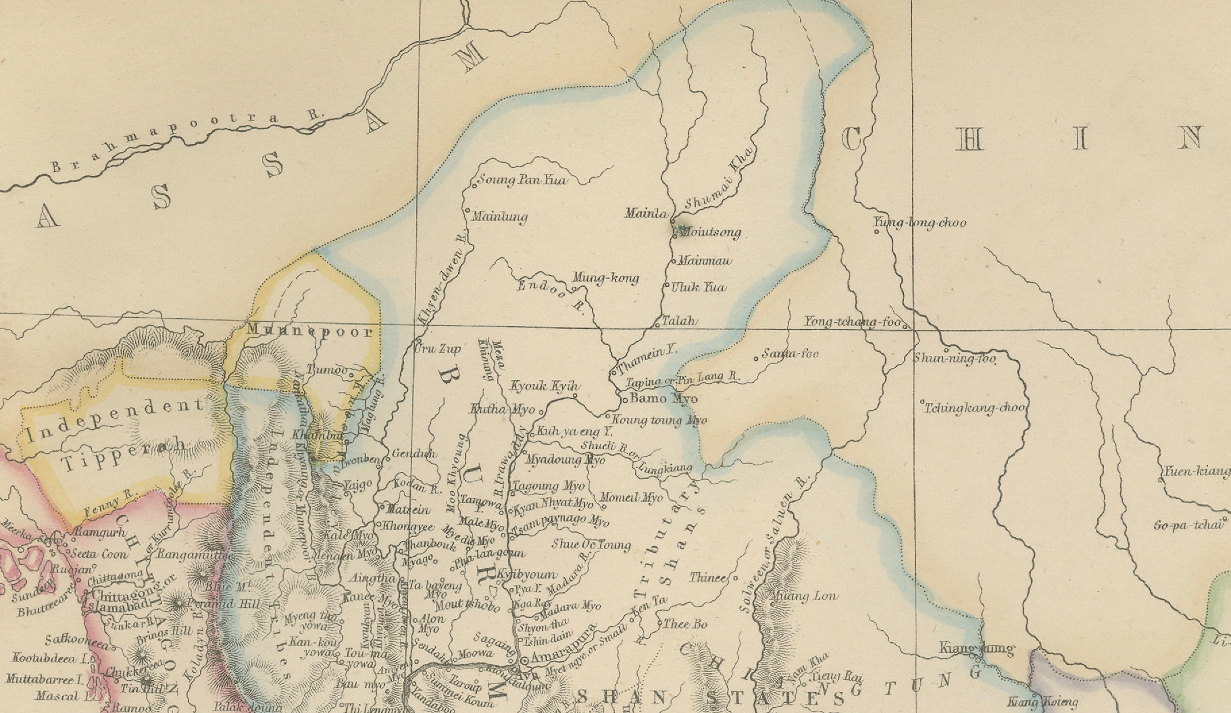
The right panel shows mainland Southeast Asia, covering Burmah (Myanmar), Siam (Thailand), and Anam (central Vietnam), with surrounding regions including parts of Laos, Cambodia, and the Malay Peninsula. Political boundaries are distinguished by subtle hand coloring, while rivers such as the Irrawaddy, Salween, Mekong, and Chao Phraya structure the geography. Coastal outlines along the Bay of Bengal, Gulf of Siam, and South China Sea are precisely rendered, highlighting key ports, trade routes, and colonial spheres of influence.
Together, the two panels reflect 19th-century European interest in Asia as a region of trade, empire, and strategic expansion. The balanced layout, fine engraving, and restrained original coloring give the map both scholarly authority and strong decorative appeal, making it suitable for collectors of Asian and colonial cartography as well as for interior designers seeking a refined historical wall piece.
Condition report:
Good antique condition. Light overall age toning consistent with age. Minor scattered foxing and light handling marks, mostly confined to the margins. Original central folds as issued. No major tears or losses.
Framing tips:
A wide ivory or warm cream mat will enhance the engraved detail and soft hand coloring. A dark walnut, black, or subtle antique gilt frame complements the map’s academic and exploratory character. Museum or UV-protective glass is recommended.
Technique: Copper engraving with original hand coloring
Maker: W. G. Blackie, Scotland, 1860
Keywords:
Ceylon map, Sri Lanka map, Island of Ceylon, Colombo, Kandy, Galle, Trincomalee, Indian Ocean map, British Ceylon, plantation era, tea and spice trade, Burmah map, Burma map, Myanmar map, Rangoon, Mandalay, Irrawaddy River, Salween River, Siam map, Thailand map, Bangkok, Ayutthaya, Chao Phraya River, Anam map, Vietnam map, Cochinchina, Tonkin, Saigon, Mekong River, Laos region, Cambodia region, Malay Peninsula, Malacca Strait, Bay of Bengal, Gulf of Siam, South China Sea, Southeast Asia map, South Asia map, colonial Asia, British Empire Asia, French Indochina context, Asian trade routes, maritime Asia, river deltas, mountain ranges Asia, 19th century Asia map, antique Asian map, Blackie atlas, Imperial Atlas, Victorian atlas, copper engraved map, hand colored map, historical cartography, exploration era, colonial boundaries, European cartography, antique wall map, interior design art, collector map, educational atlas, 1860 map