About this sheet
Original Illustration Map of India by Charles Burki, 1951 – Ink Drawing
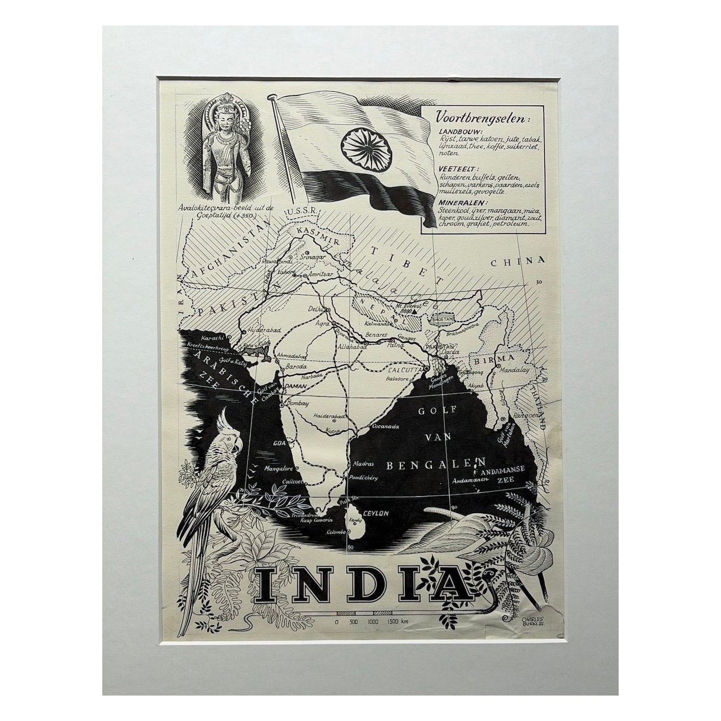
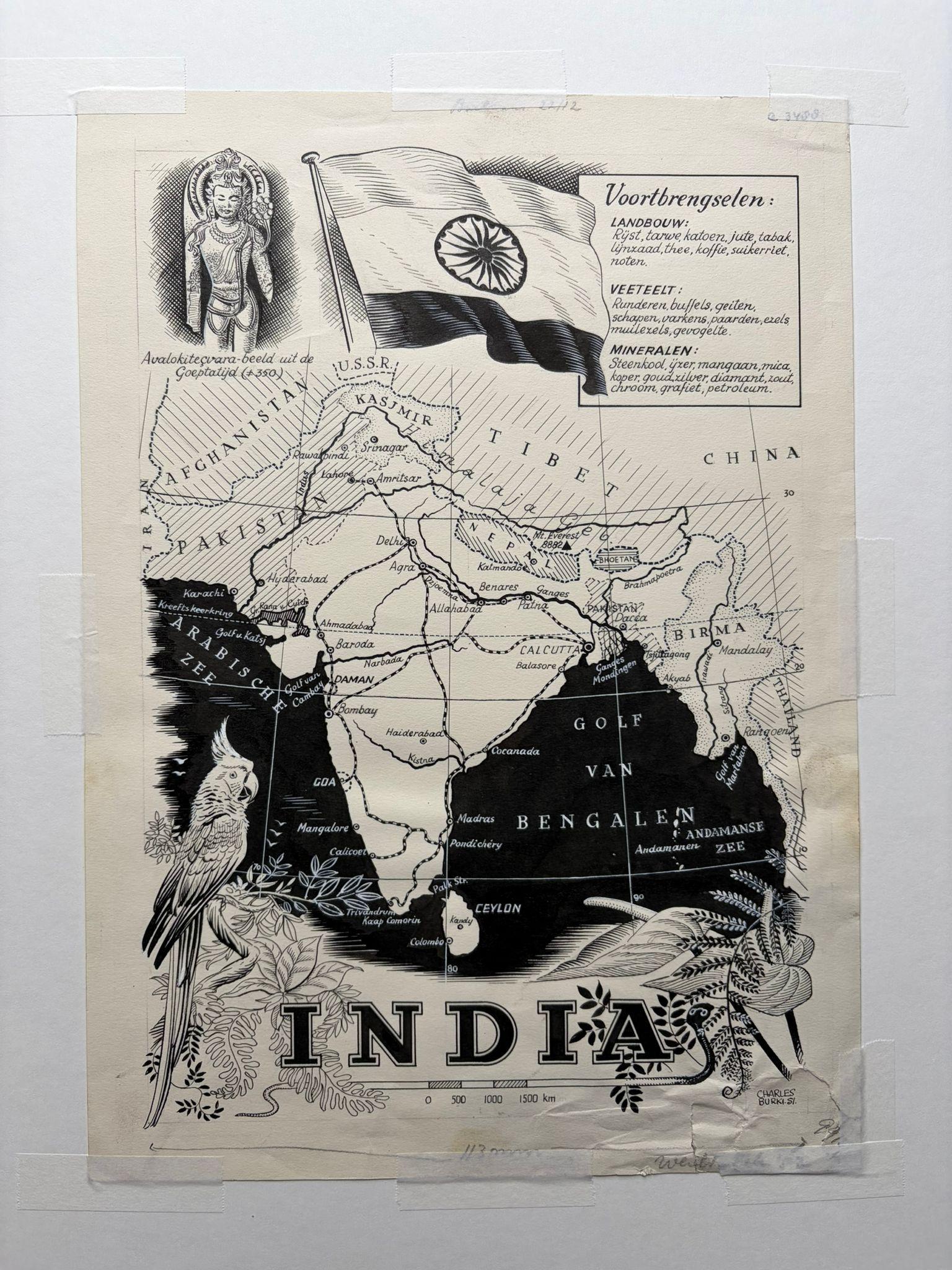
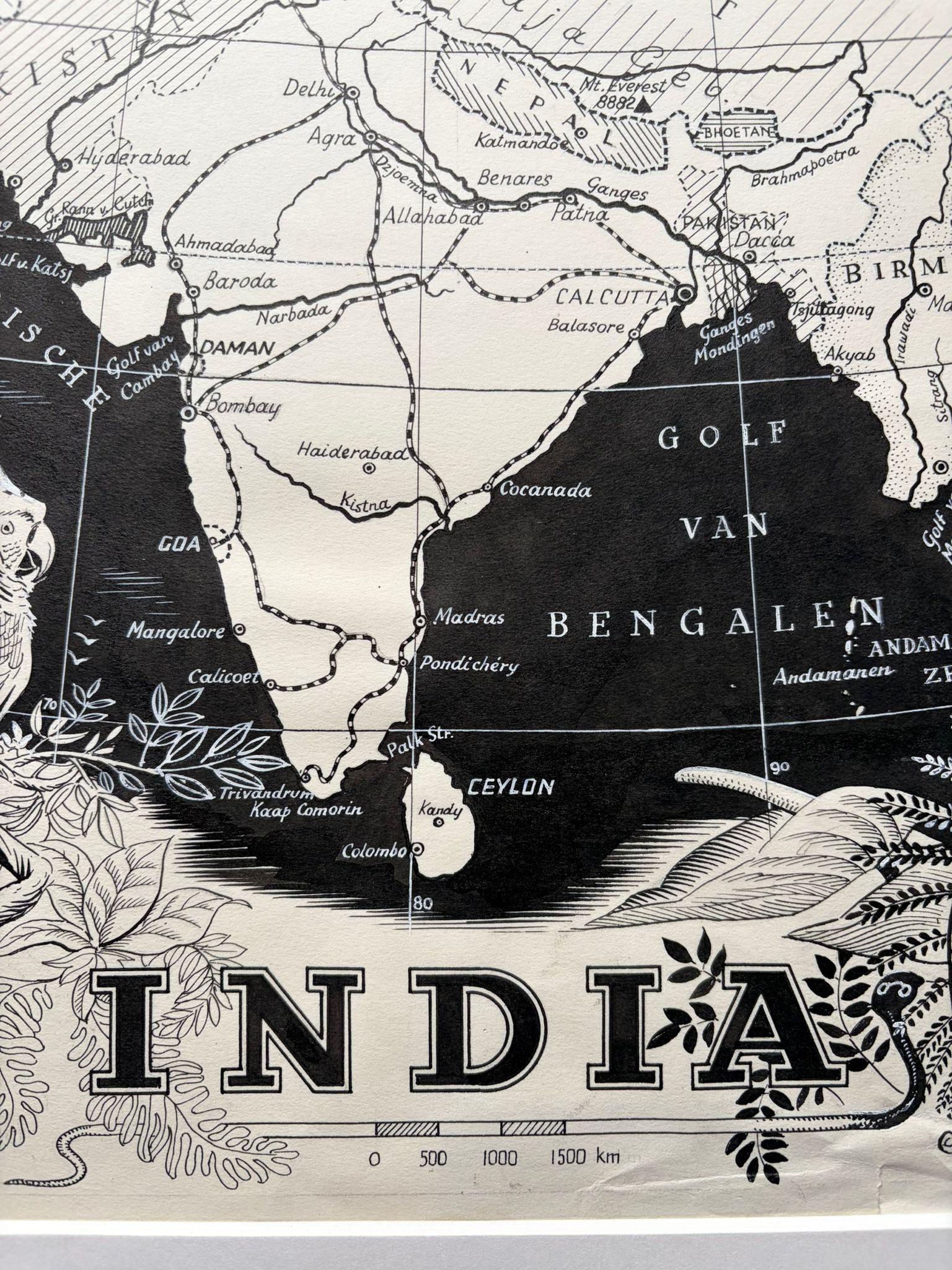
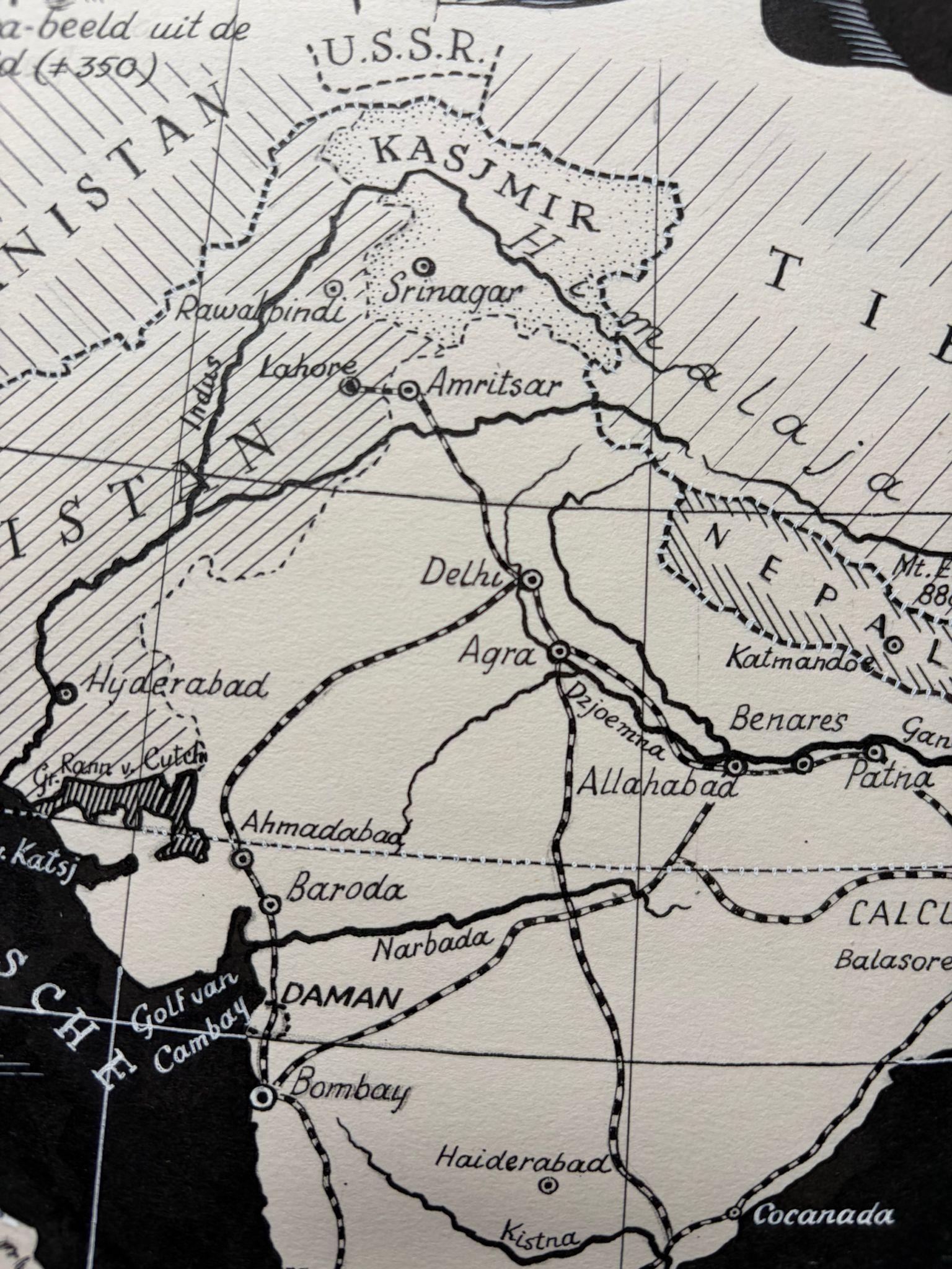
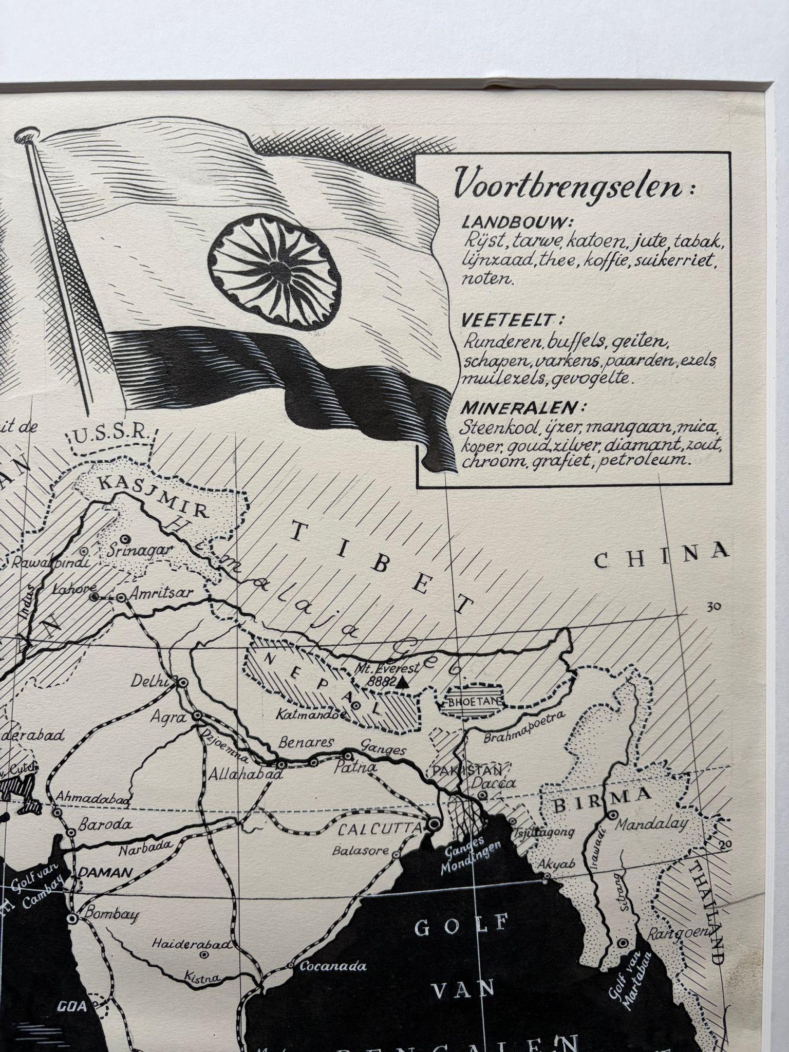
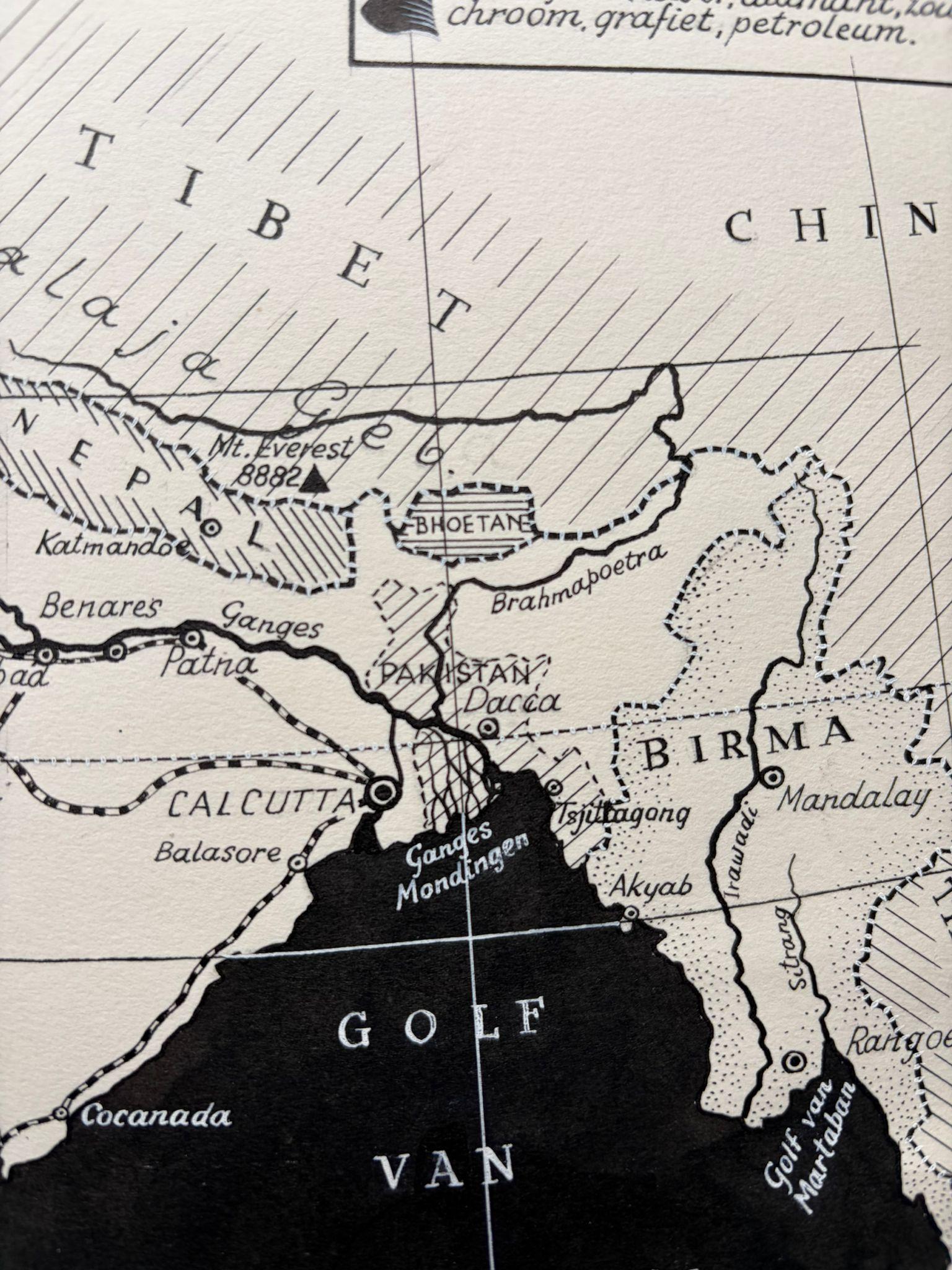
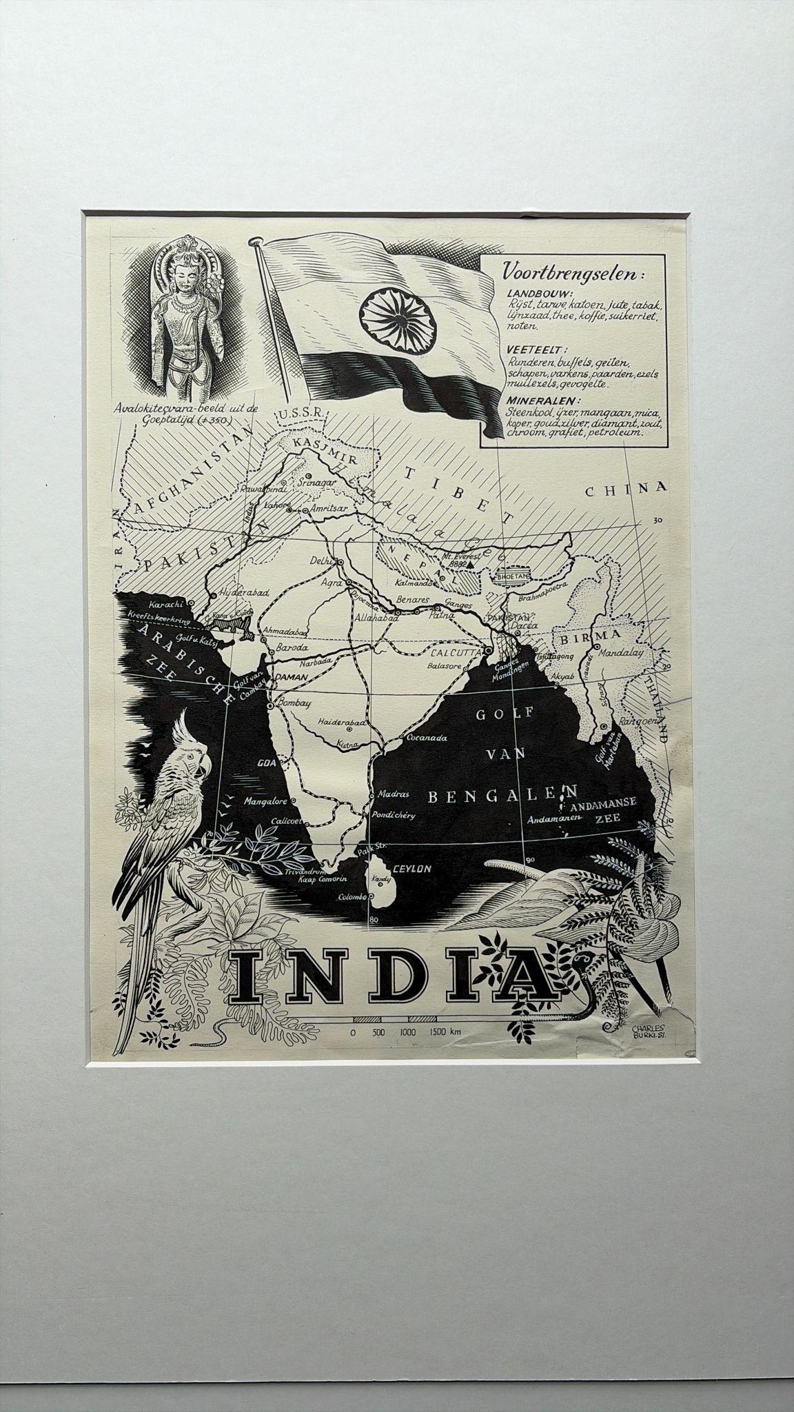
Original pen-and-ink illustration of India by Dutch artist Charles Burki (1909–1994), executed in 1951. This striking map merges cartographic precision with Burki’s refined graphic artistry, capturing the newly independent India through his signature postwar style.
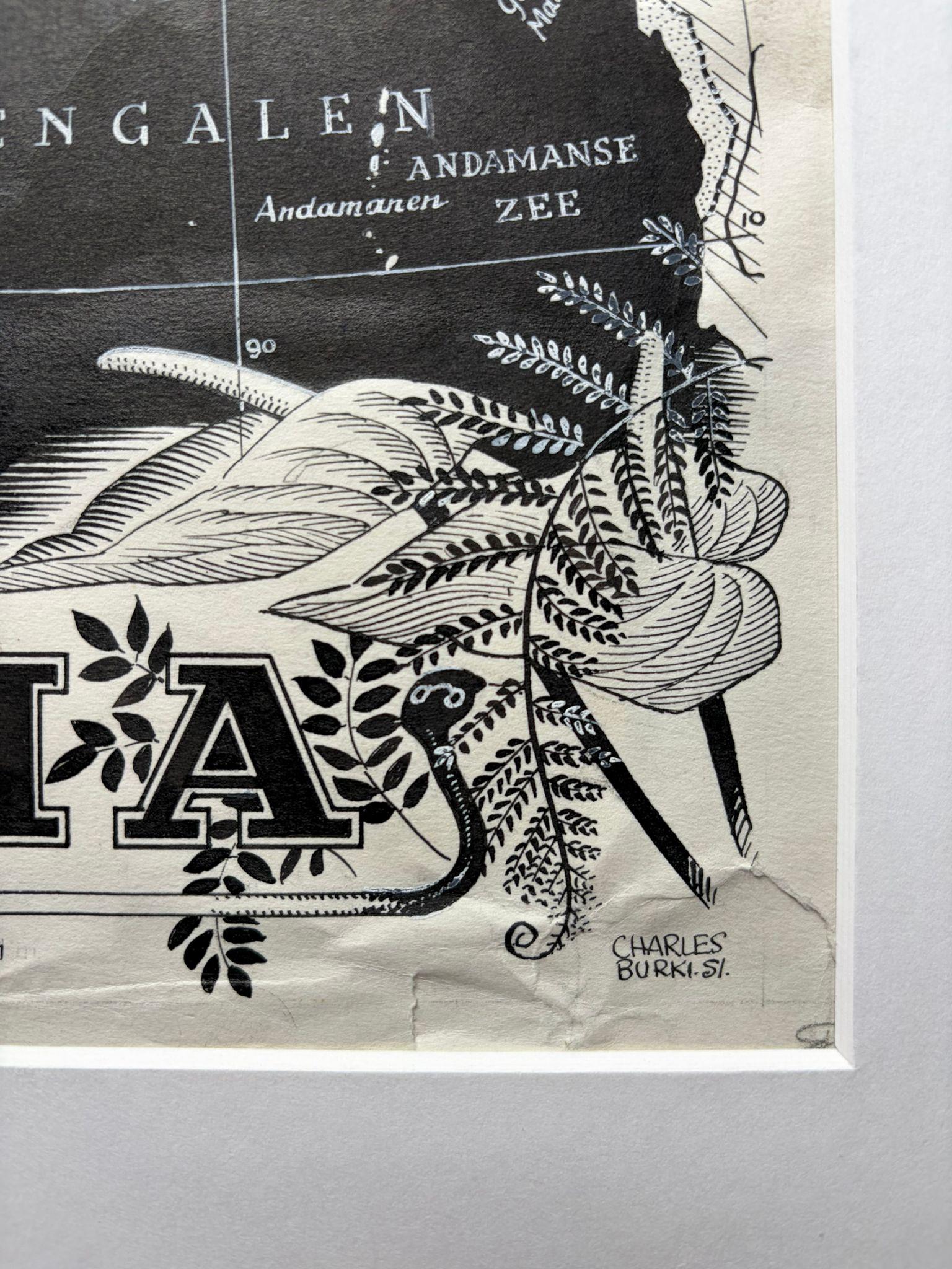
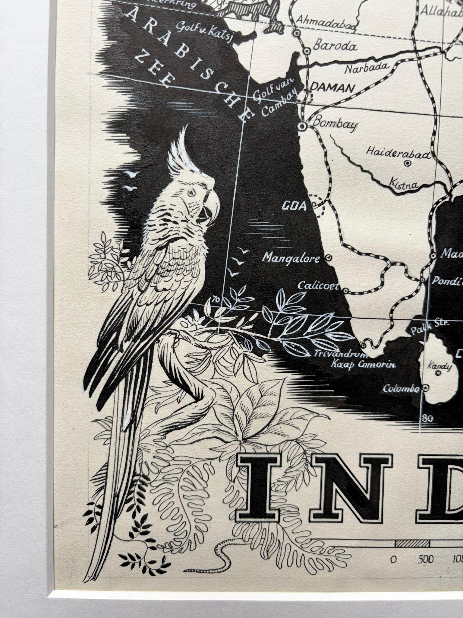
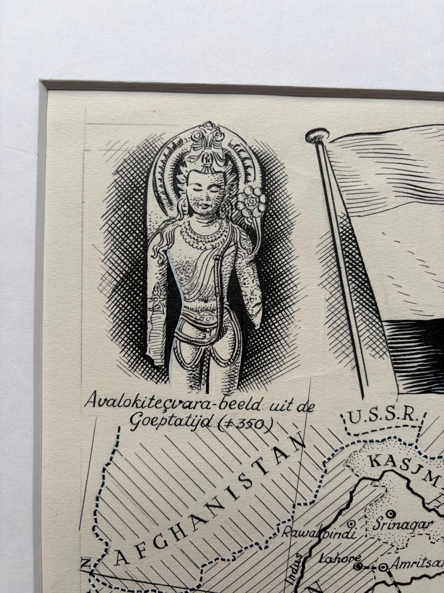
The map is densely detailed, showing India’s key cities, mountain ranges, and neighboring regions—Pakistan, Afghanistan, Tibet, Burma, and Ceylon (Sri Lanka). The seas are boldly shaded to create a strong visual contrast, framing the Indian subcontinent with clarity and depth. Decorative vignettes highlight cultural and natural symbolism: a detailed parrot perches among tropical foliage at the lower left, a cobra coils beside the title “INDIA,” and a Buddhist statue of Avalokiteśvara (circa 350 CE, from the Gupta period) graces the upper left corner. Above, the flag of India proudly waves beside a text box listing the country’s major “Voortbrengselen” (Products), neatly divided into Agriculture, Livestock, and Minerals.
This illustration, labeled in Dutch and signed “Charles Burki ’51” at lower right, was likely prepared for a Dutch educational or cultural publication, celebrating India’s diversity and postcolonial emergence. Burki’s command of linework and tonal balance reflects his background in architectural drafting and his mastery of hand-rendered cartography.
An exceptional example of Burki’s mid-century map illustrations—rich in geographic accuracy, cultural iconography, and postwar optimism.
Biographical Note:
Charles Burki (1909–1994) was a Dutch painter and illustrator whose career bridged the colonial and post-war eras. Trained in architectural drafting, he moved to the Dutch East Indies in the 1930s and became known for posters and illustrations for local periodicals. During World War II, he was imprisoned as a POW; during transport to Japan his ship was bombed and sunk. He survived ten hours at sea, endured imprisonment, and lived through the atomic bombing in Japan at 1,500 meters from impact—an ordeal that profoundly shaped his later art.
After the war Burki returned to the Netherlands, where he became one of the country’s leading illustrators, producing dynamic cover art and maps for Uitgeverij Succes, De Bezige Bij, Het Spectrum, and Kluitman. His precise draughtsmanship, cinematic realism, and restrained palette reflect both technical mastery and lived experience. Today his original gouache and ink boards are prized as rare examples of mid-century Dutch illustration and narrative art.
Condition report:
Good condition; crisp black ink on cream paper with light creasing at the lower edge and minor handling marks consistent with age and use. No discoloration to the image.
Framing tips:
Best presented in a black or dark teak frame with an ivory or light cream mat. A floating mount will emphasize the fine ink border and signature.
Technique: Pen and ink on paper
Maker: Charles Burki, The Netherlands, 1951