Maps & PrintsBartele Gallery · Langweer
Home / Antique Maps / Asia / South Asia / India & Ceylon

India & Ceylon · 18th century

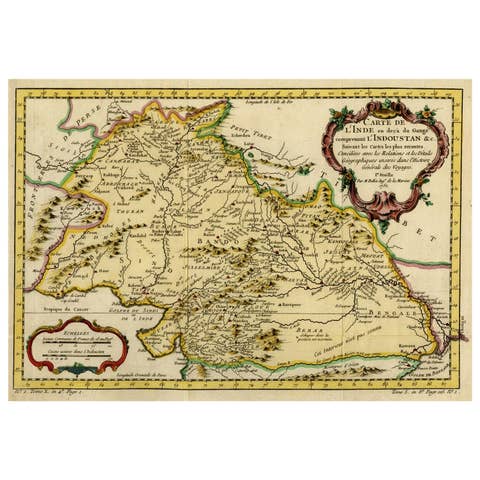
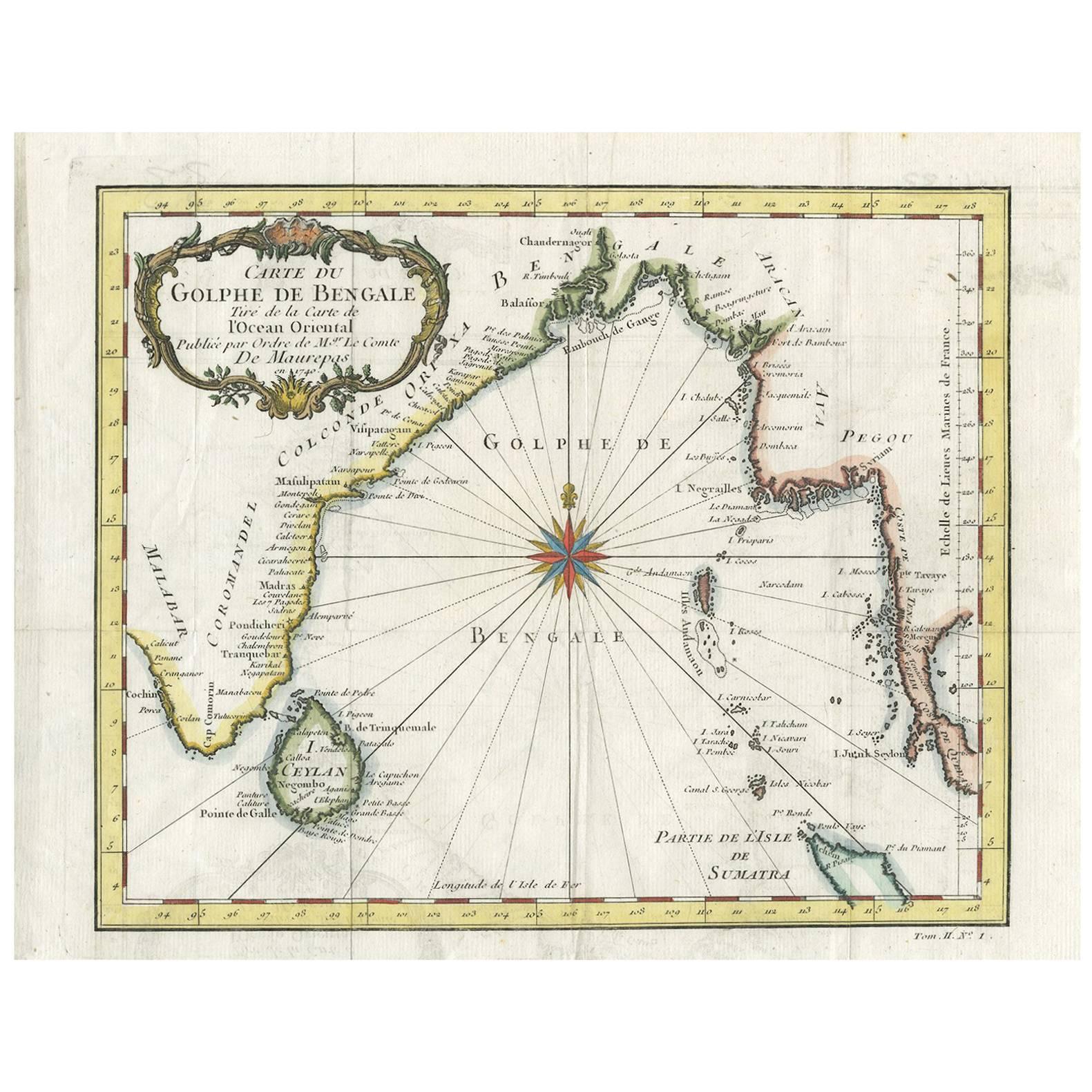
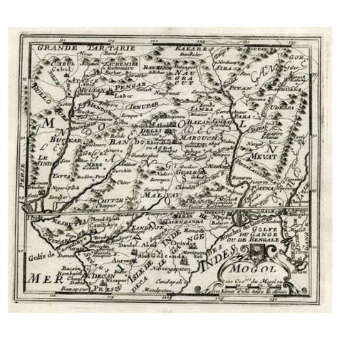
Antique Map of the Gulf of Bengal by J.N. Bellin, circa 1760

€ 264

One of a kind: this is the sheet in the photographs. Ships from Langweer, the Netherlands.

Date
1760
Sheet size
24.8 × 31.8 cm (9.8 × 12.5 in)
Condition
Good
Reference
D-0419

Condition

Please study image carefully.
About this sheet

Beautiful chart of the Gulf of Bengal. The map extends from Malabar to Sumatra and today Phuket area in Thailand. Including Pegu, Ceylon, and the Andaman and Nicobar Islands. Numerous place names along the coasts. With a large title cartouche and a compass rose.

More from India & Ceylon

Ask about this sheet

Antique Map of the Gulf of Bengal by J.N. Bellin, circa 1760
1760 · Ref. D-0419 · € 264
We reply by email, usually within one working day.