About this sheet
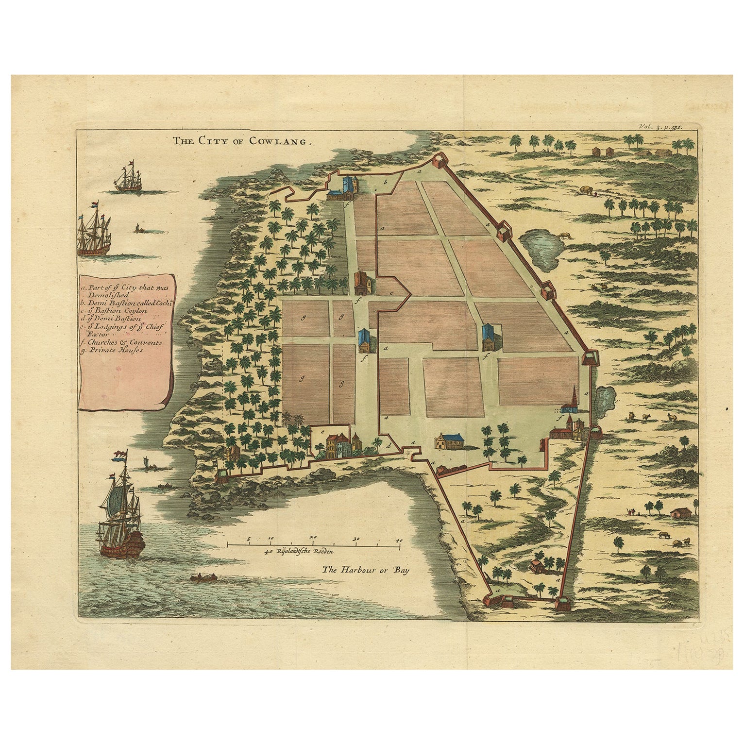
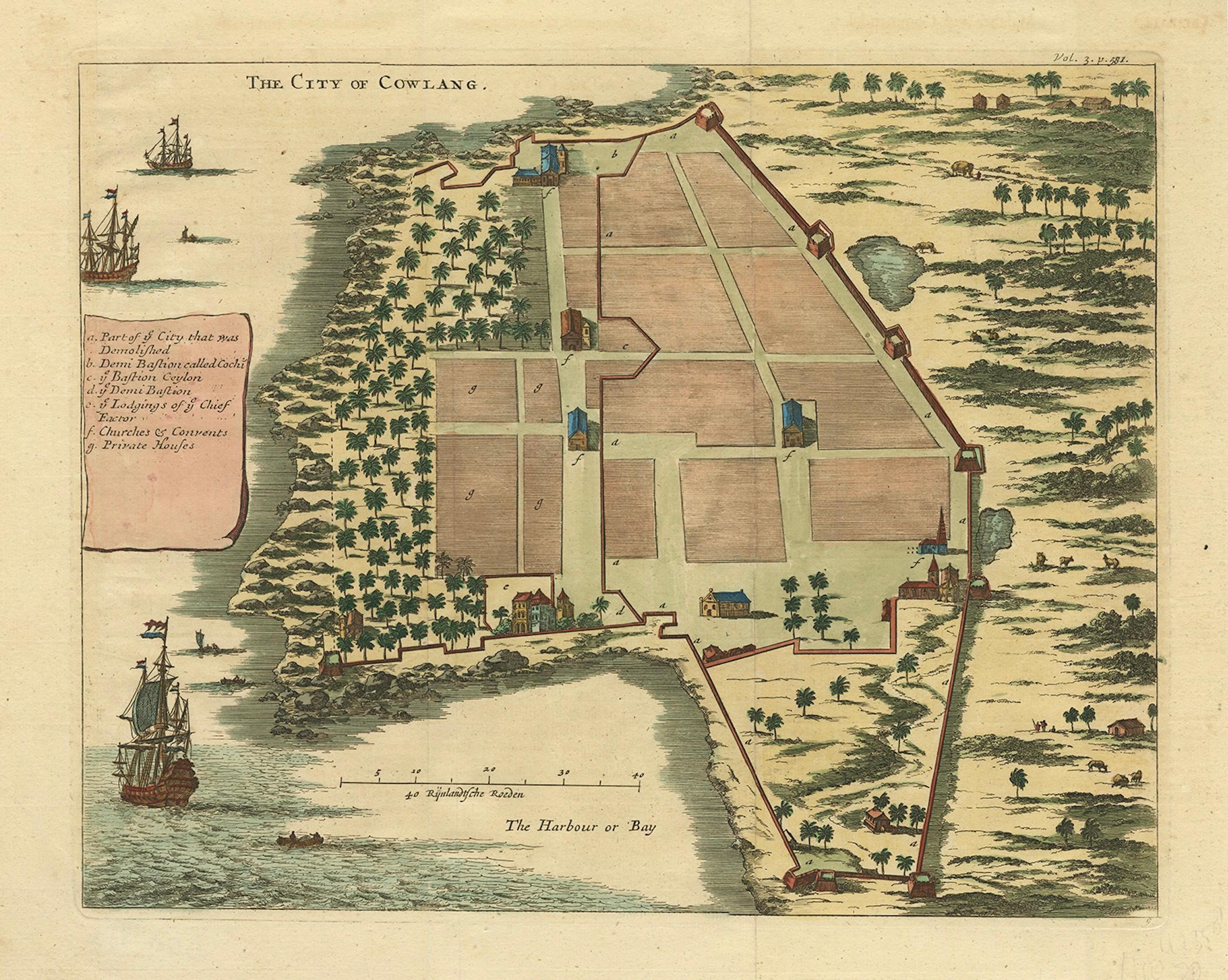
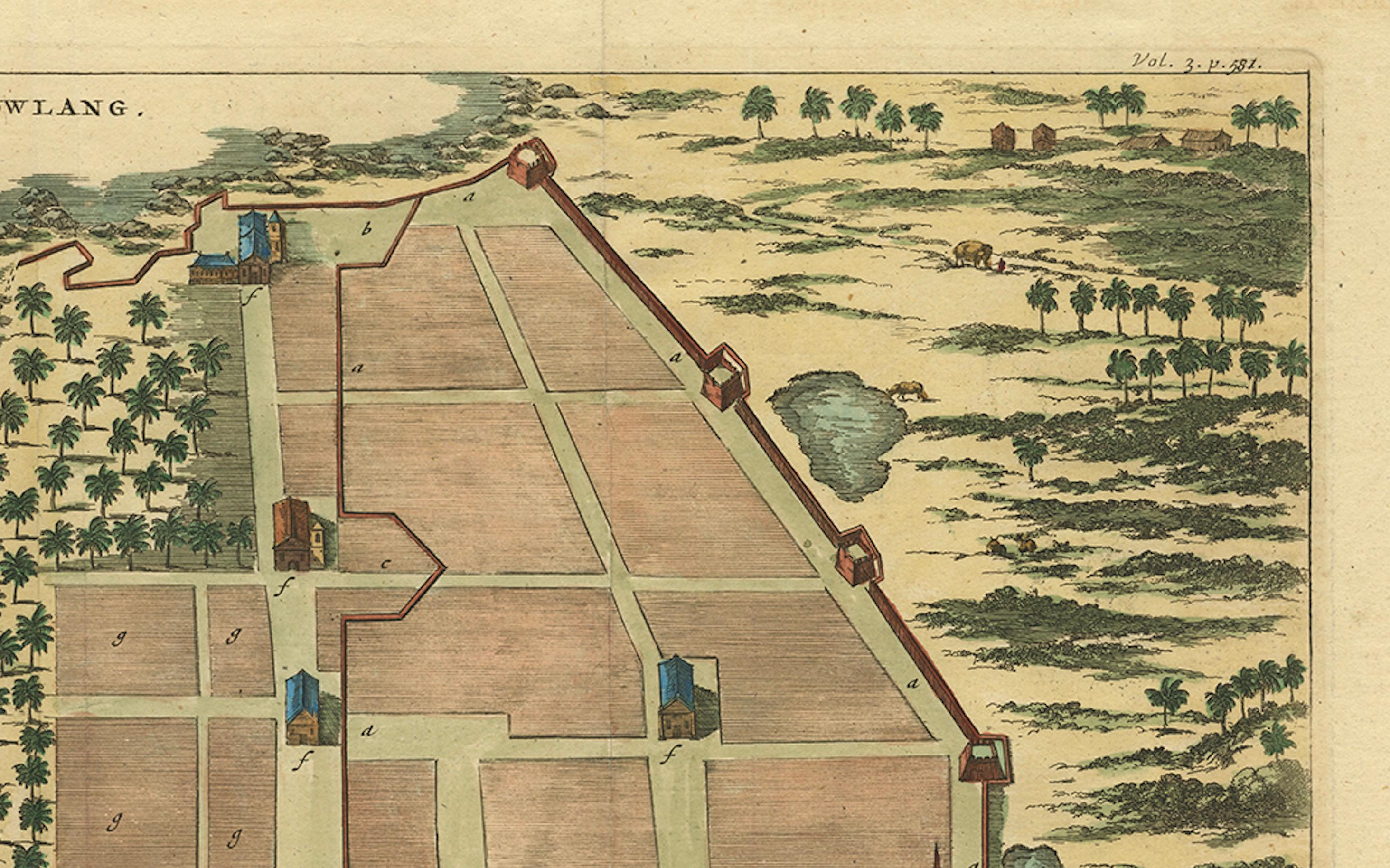
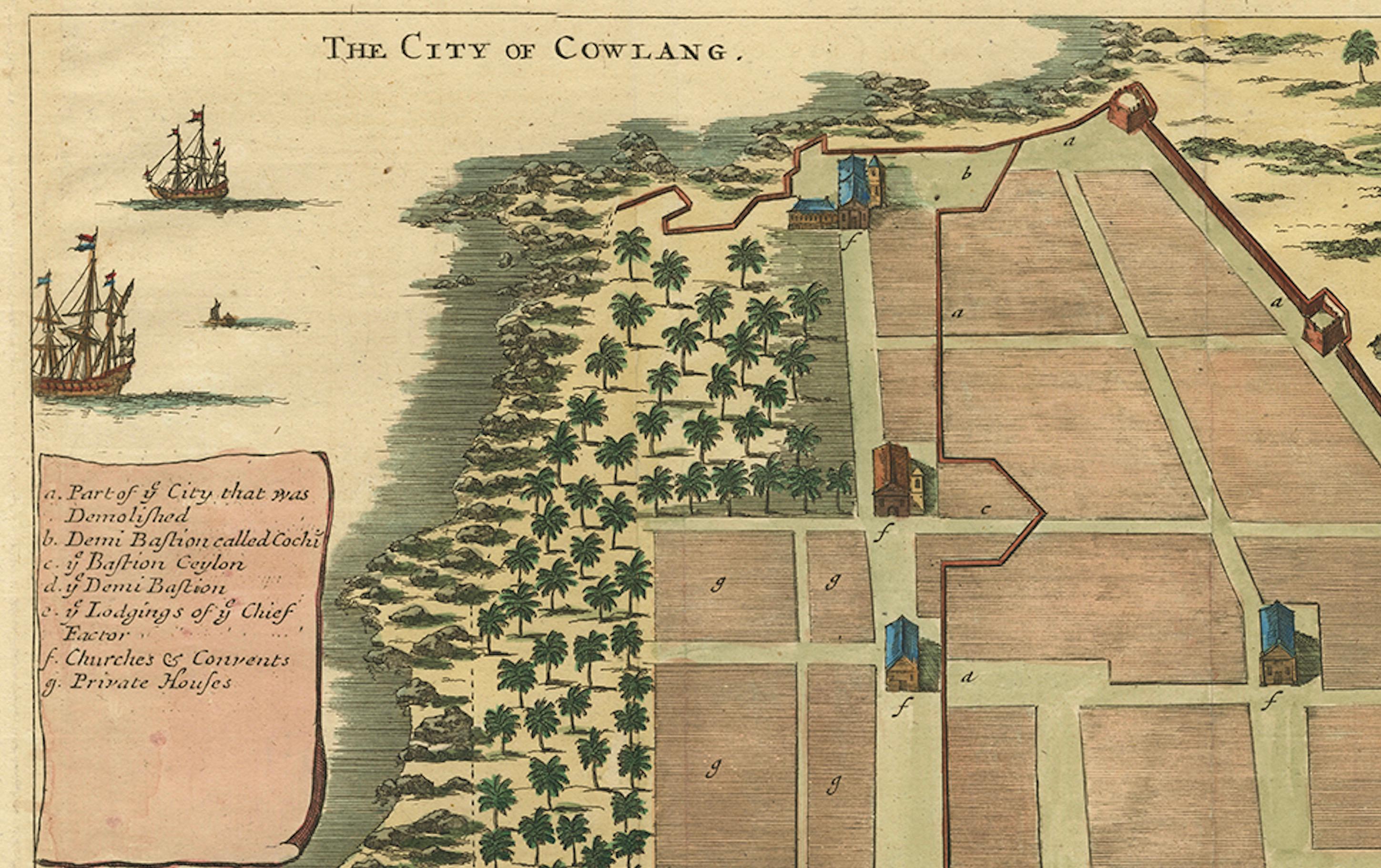
The City of Cowlang – Antique Map of Kollam (Quilon), India by Philip Baldaeus, c.1672
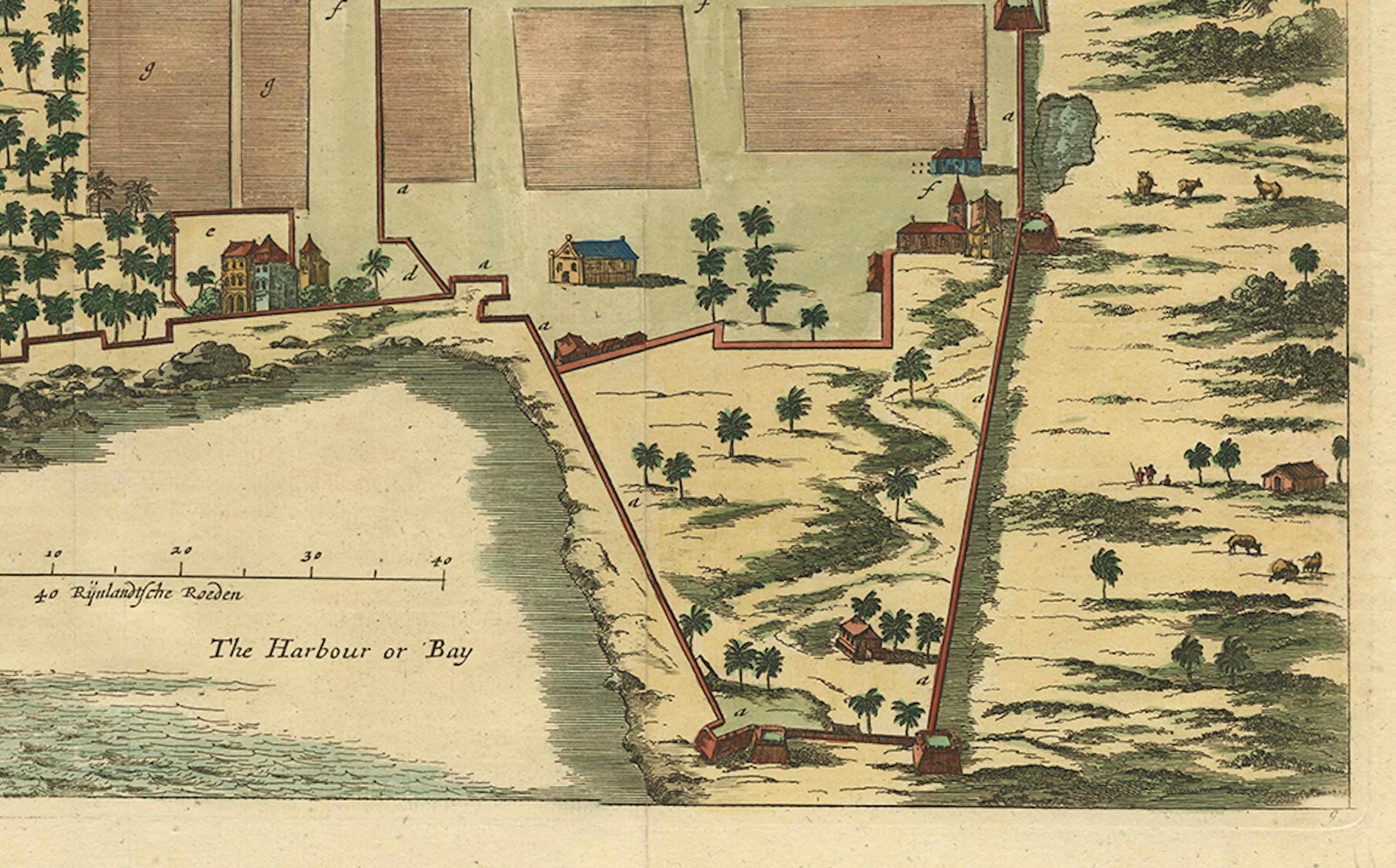
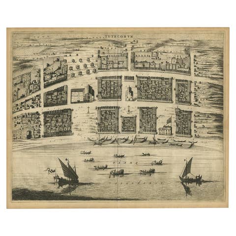
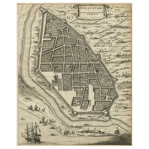
Rare and beautifully hand-colored 17th-century bird’s-eye plan of the fortified coastal city of Cowlang (modern Kollam or Quilon) on the Malabar Coast of India. The engraving shows the city’s defensive walls, bastions, streets, churches, convents, and key administrative buildings, as well as the harbor with European sailing ships anchored offshore.
The map originates from A True and Exact Description of the Most Celebrated East India Coasts of Malabar and Coromandel and the Isle of Ceylon (English edition of Naauwkeurige Beschryvinge van Malabar en Choromandel… en het machtige Eyland Ceylon) by Philippus Baldaeus, published in London around 1672. This important work records the geography, commerce, and missionary efforts of the Dutch East India Company (VOC) in southern India and Sri Lanka during the 17th century.
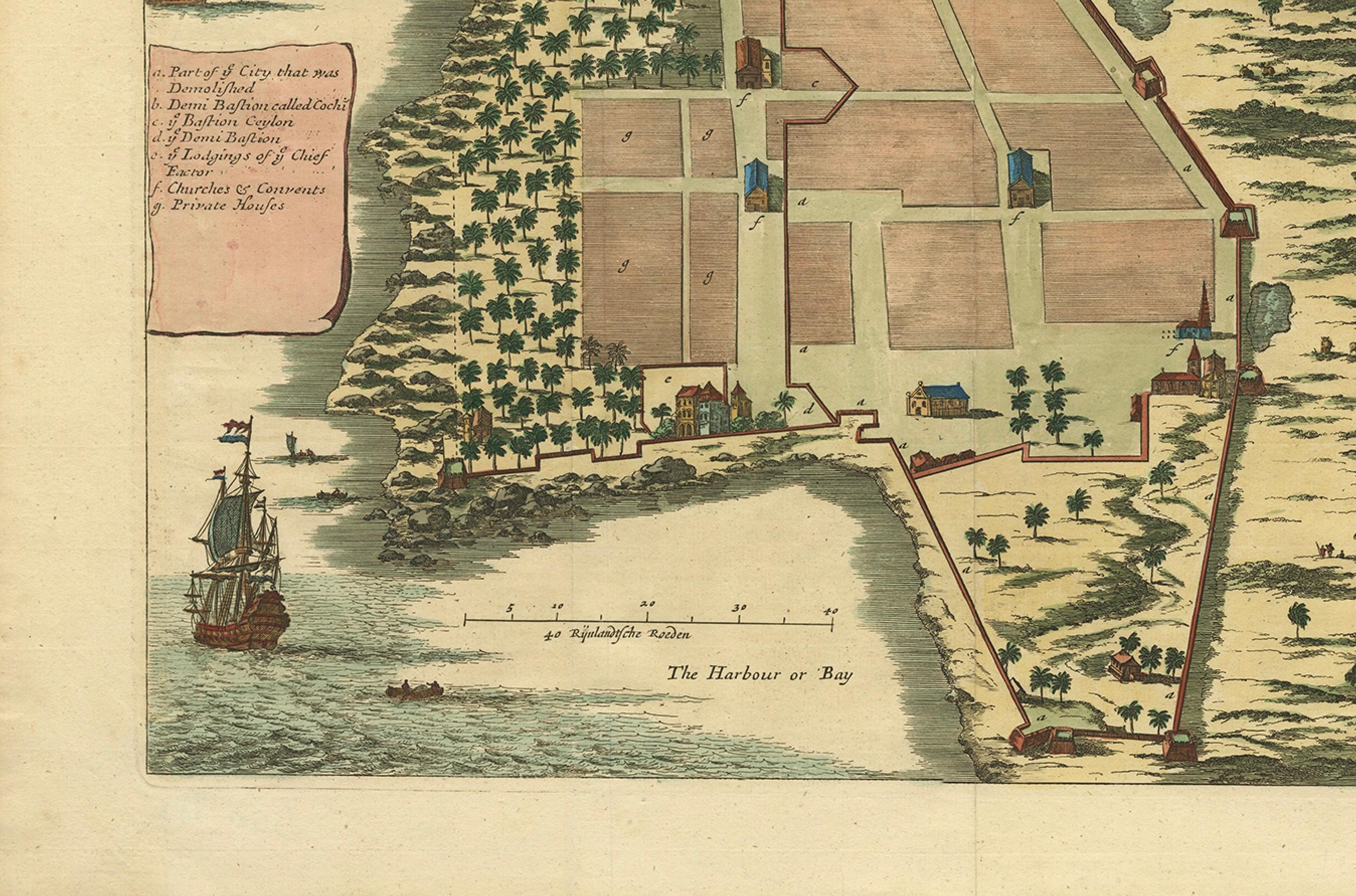
Cowlang (Kollam) was one of the earliest centers of European trade on the Malabar Coast, known for its spice markets and pearl fisheries. The plan’s key (A–G) identifies important landmarks: the port, the Dutch fort and governor’s residence, public buildings, churches, convents, and private houses. The detail of fortifications and European-style structures reflects the influence of the Dutch East India Company after their expulsion of the Portuguese from the region in 1658.
Philip Baldaeus (1632–1672), a Dutch Reformed minister and missionary, was among the first Europeans to study and document Tamil and Sinhalese culture in depth. His accounts and illustrations are among the most vivid early European descriptions of South India and Ceylon.
A rare and historically significant view combining early colonial cartography, architecture, and ethnography—an important visual record of VOC presence on the southwest coast of India.
Condition: Excellent impression with later hand-coloring on laid paper. Light toning and faint vertical fold as issued. Wide margins.
Framing tips: Best presented in a dark wood or teak frame with a cream or sand-colored mat to complement the warm coastal tones and maritime details.
Technique: Hand-colored copperplate engraving on laid paper
Maker: Philippus Baldaeus (author), anonymous engraver, Amsterdam or London, c.1672