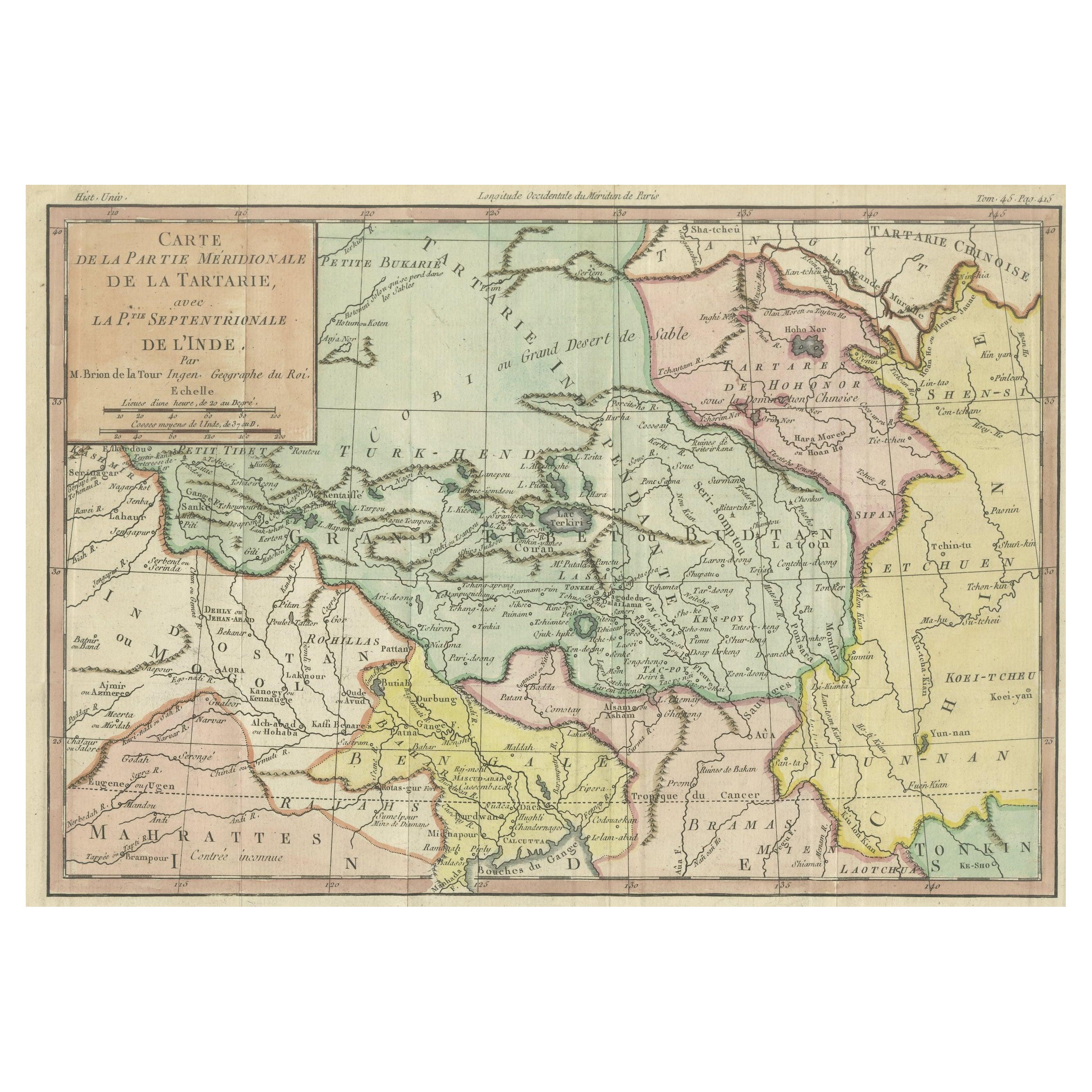
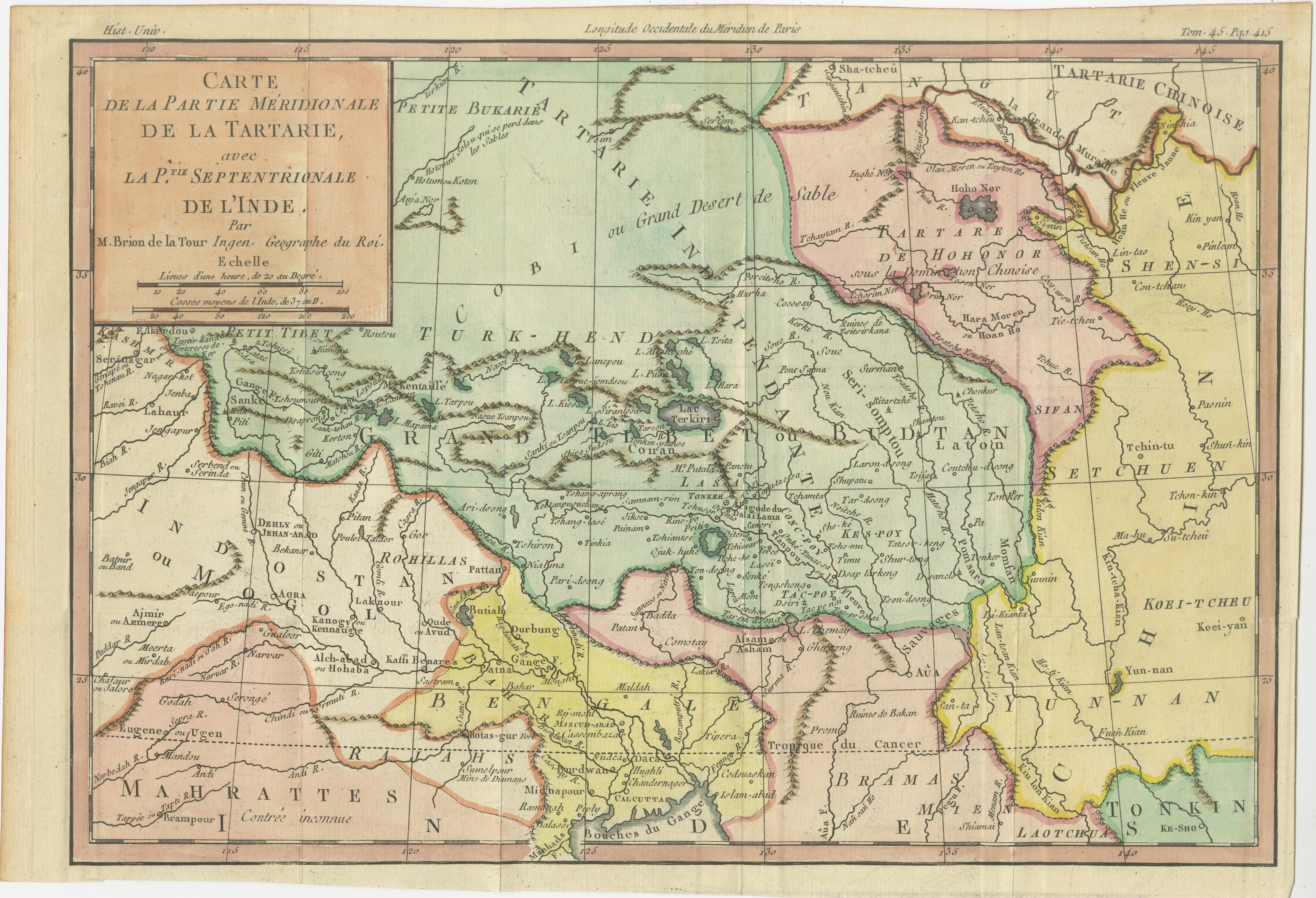
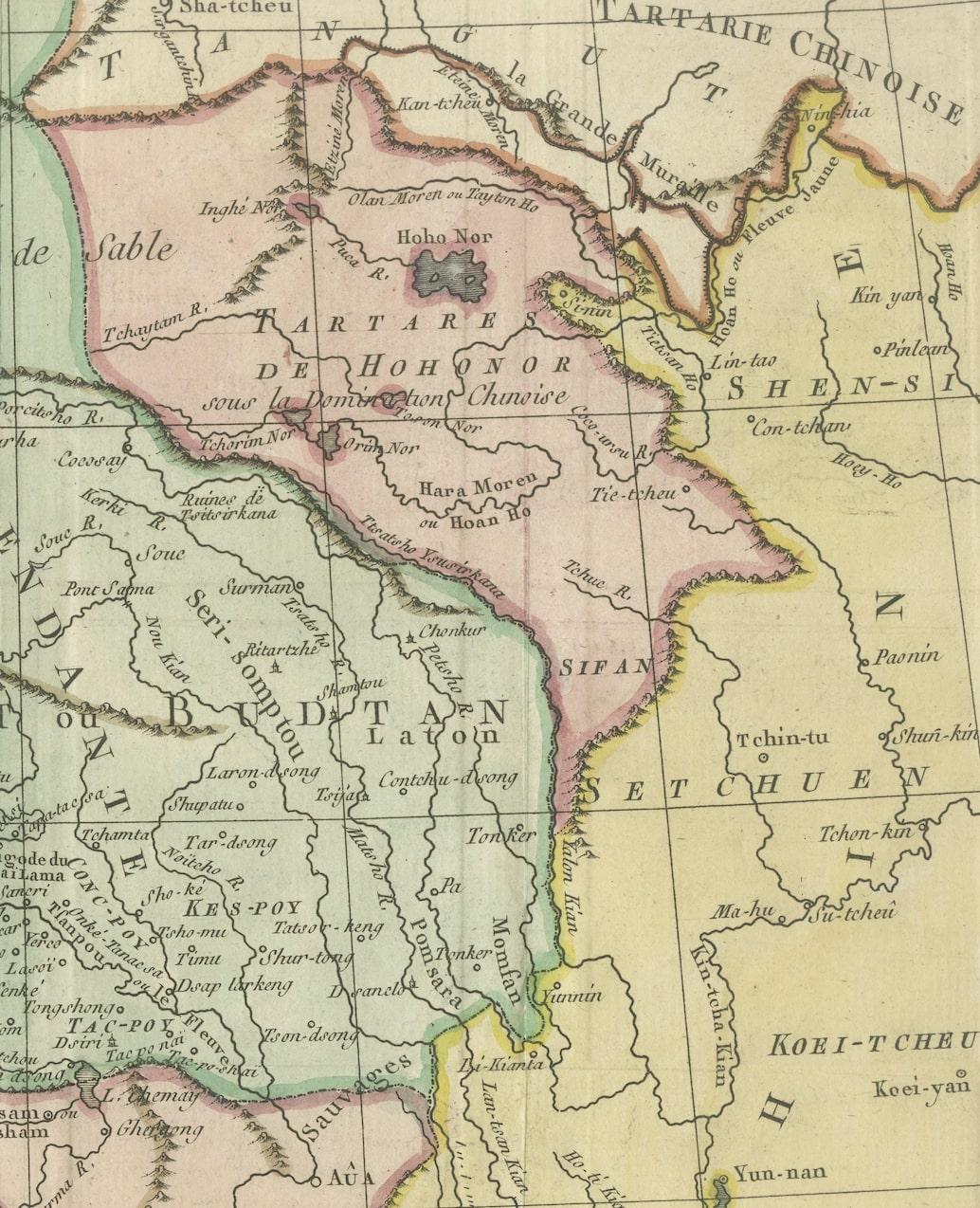
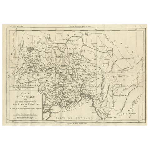
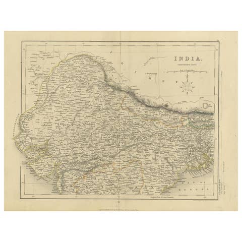
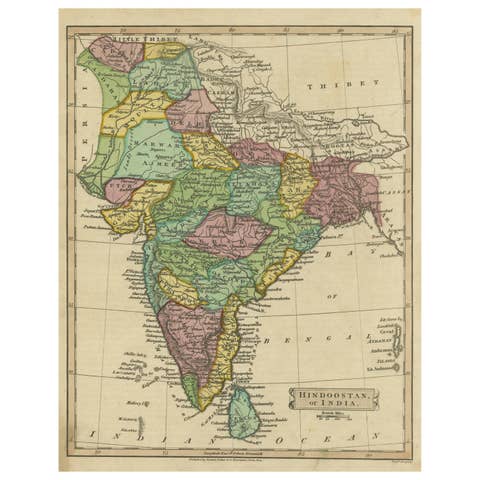
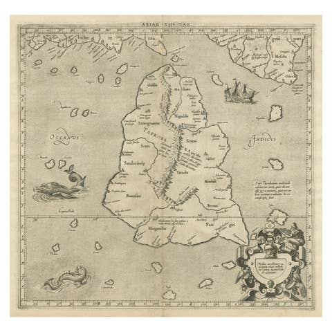
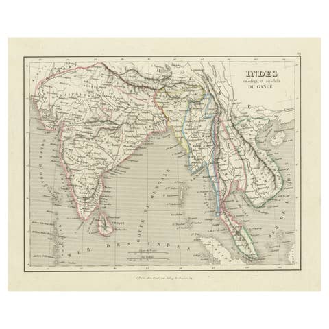
18th Century Hand-Colored Antique Map of Tartary and Northern India
€ 320
One of a kind: this is the sheet in the photographs. Ships from Langweer, the Netherlands.
Sheet size
24 × 34.5 cm (9.4 × 13.6 in)
Condition
Good
Reference
BG-13513-1
Condition
Good condition. Flattened folding lines from the publication it was taken from. Small margins on the right side, but leaving enough space for framing nicely.
About this sheet
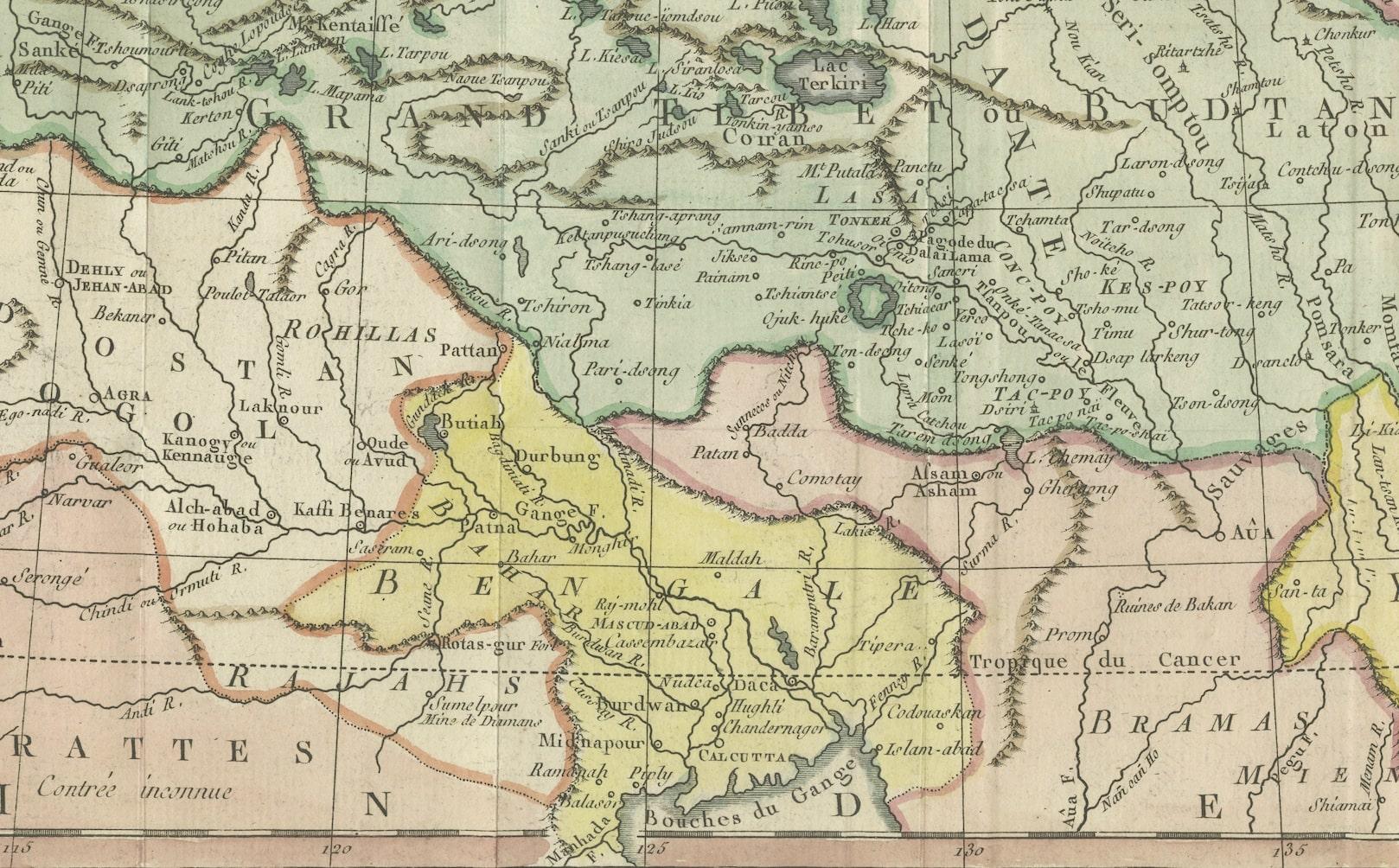
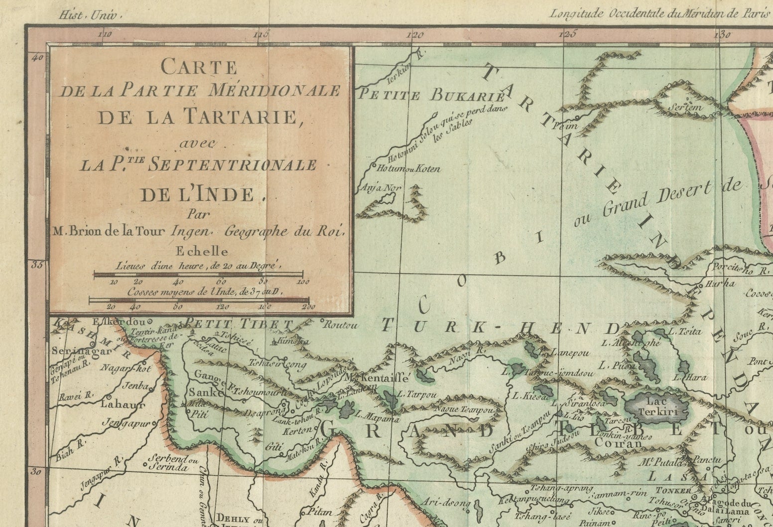
The antique map titled "Carte de la partie meridionale de la tartarie avec la p.tie septentrionale de l'nde" was crafted by Louis Brion de la Tour, a prominent French cartographer, and geographer in the 18th century. The map translates to "Map of the Southern Part of Tartary with the Northern Part of India."
Brion de la Tour was known for his meticulous cartographic skills and contributed significantly to the geographical knowledge of his time. This particular map, created during the 18th century, presents a depiction of the southern portion of Tartary, an ancient region in northern and central Asia, alongside the northern part of India.
As with many maps of that era, it likely features details on geographical boundaries, topographical features, major cities, rivers, and possibly cultural or historical notations relevant to the regions depicted. Brion de la Tour's maps were renowned for their accuracy and aesthetic appeal, often incorporating artistic elements along with precise cartographic information.
This specific map would have provided invaluable geographical knowledge and served as a significant reference tool for explorers, traders, and scholars of the time, shedding light on the territories of Tartary and northern India during the 18th century.