About this sheet
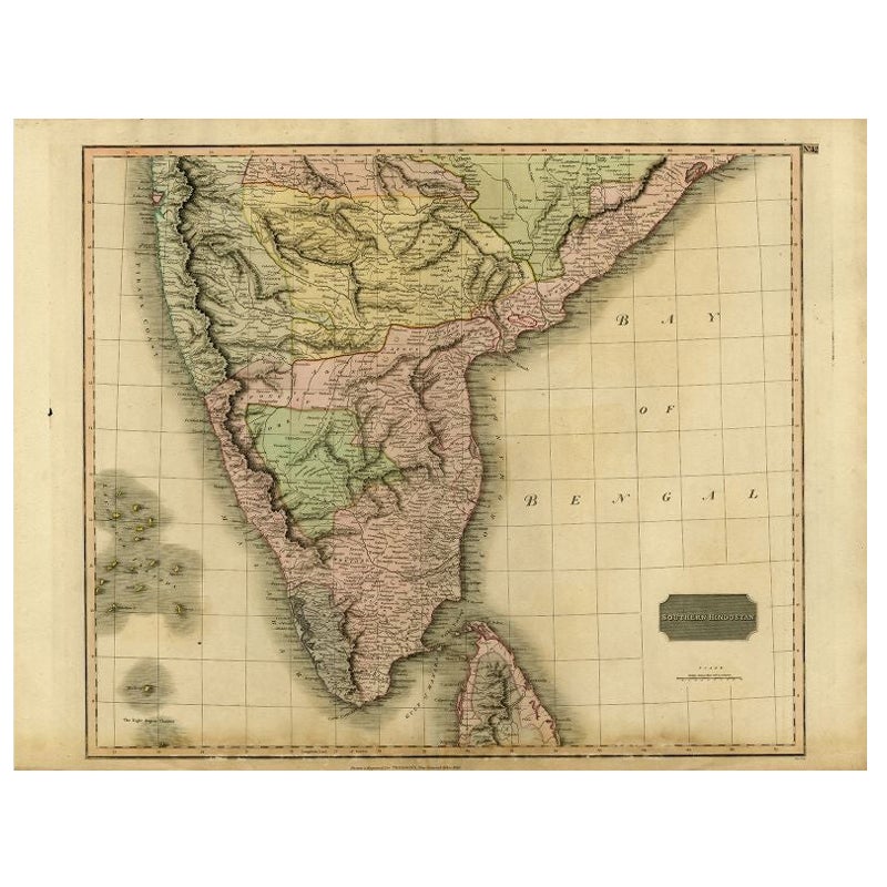
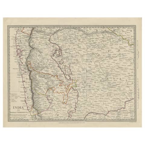
"Antique map titled 'Southern Hindostan'. A map of Southern India and the North of Ceylon. From Thomson's 'New General Atlas', 1816. Artists and Engravers: Engraved by Neele.
Condition: Fair, given age. Original middle fold, as issued. Creasing in the lower margin. Lower edge browned and with a few small tears, and several small spots of paper erosion and tiny on the image edge (reinforced on the rear with contemporary paper and acid-free archival tape). General age-related toning and/or occasional minor defects from handling. Please study image carefully.
Date: 1816
Overall size: 71.6 x 54.6 cm.
Image size: 0.001 x 59.8 x 50.8 cm.
They were the product of engraved, etched or lithographed plates. These plates were handmade out of wood or metal, which required an incredible level of skill, patience and craftsmanship. Whether you have a house with Victorian furniture or more contemporary decor an old engraving can enhance your living space. We offer a wide range of authentic antique prints for any budget.".