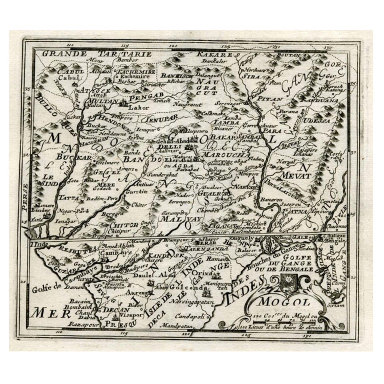
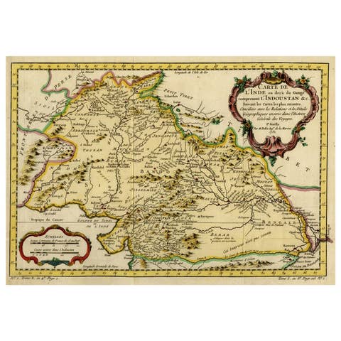
Map of Northern India and Pakistan 'Mogol', Showing Kabul, Delhi Etc., 1758
€ 370
Original antique · The actual sheet photographed · Certificate of authenticity on request · Sold unframed · Worldwide shipping from € 15 (rates)
Date
1758
Sheet size
17.5 × 19 cm (6.9 × 7.5 in)
Condition
Good
Reference
PCT-7382
Condition
General age-related toning. Please review the images for further condition details.
About this sheet
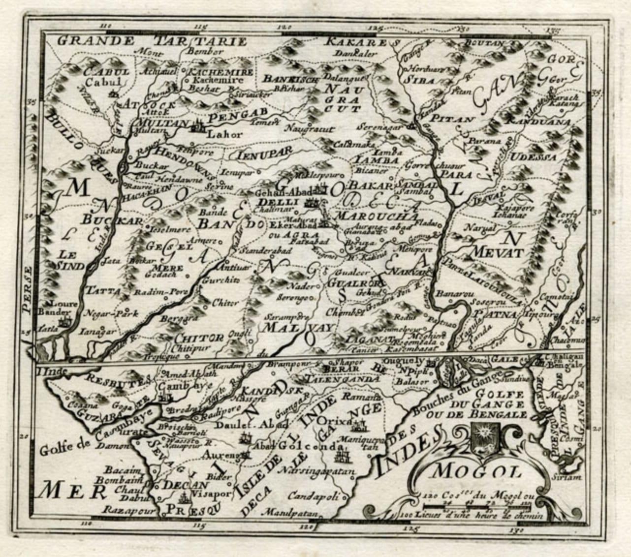
Antique map titled 'Mogol'.
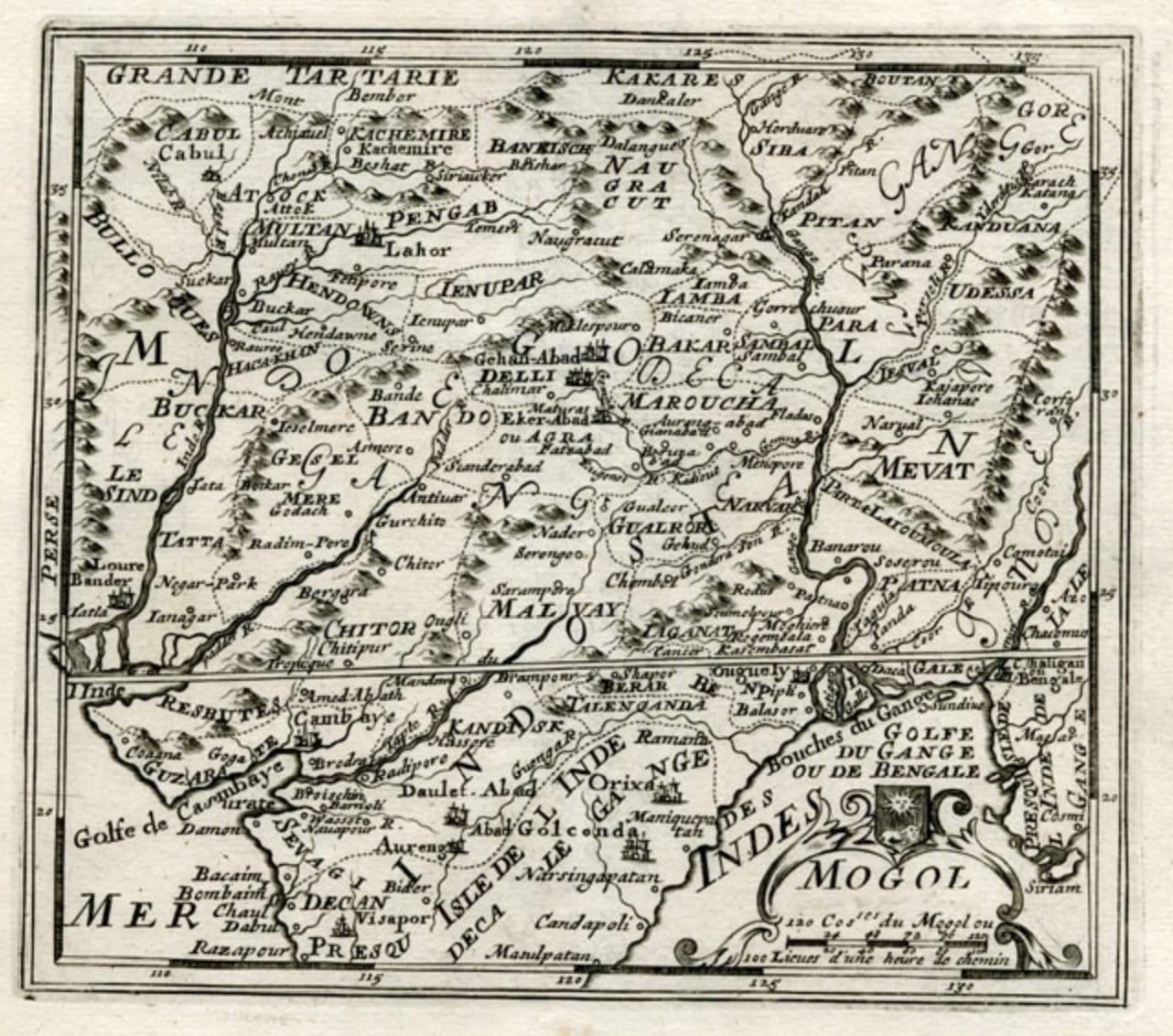
Map of Northern India and Pakistan ('Mogol'), showing Kabul, Delhi and surroundings. This map originates from 'Kort begrip der Oude en Nieuwe Staatkundige Geographie', by W.A. Bachiene, published by Covens & Mortier in 1758, printed in Utrecht by Jan Jakob van Pootsum.
Artists and Engravers: Author: Willem Albert Bachiene (Leerdam 1712 - Maastricht 1783). He was a Clergyman in the army and in Namen, Belgium and Kuilenburg (Culemborg). From 1759 he was Clergyman in Maastricht and also Professor in Astronomy and Geography at the 'Illustere School'.