Cartographic Elegance of the Mughal Dominion in a Hand-Colored Antique Map, 1705
€ 660
One of a kind: this is the sheet in the photographs. Ships from Langweer, the Netherlands.
Date
1705
Sheet size
22 × 30.2 cm (8.7 × 11.9 in)
Condition
Good
Reference
BG-13727
Condition
Very good. A dark and attractive impression on a bright sheet and a narrow top margin. Middle fold as issued. Study the scans carefully.`.
About this sheet
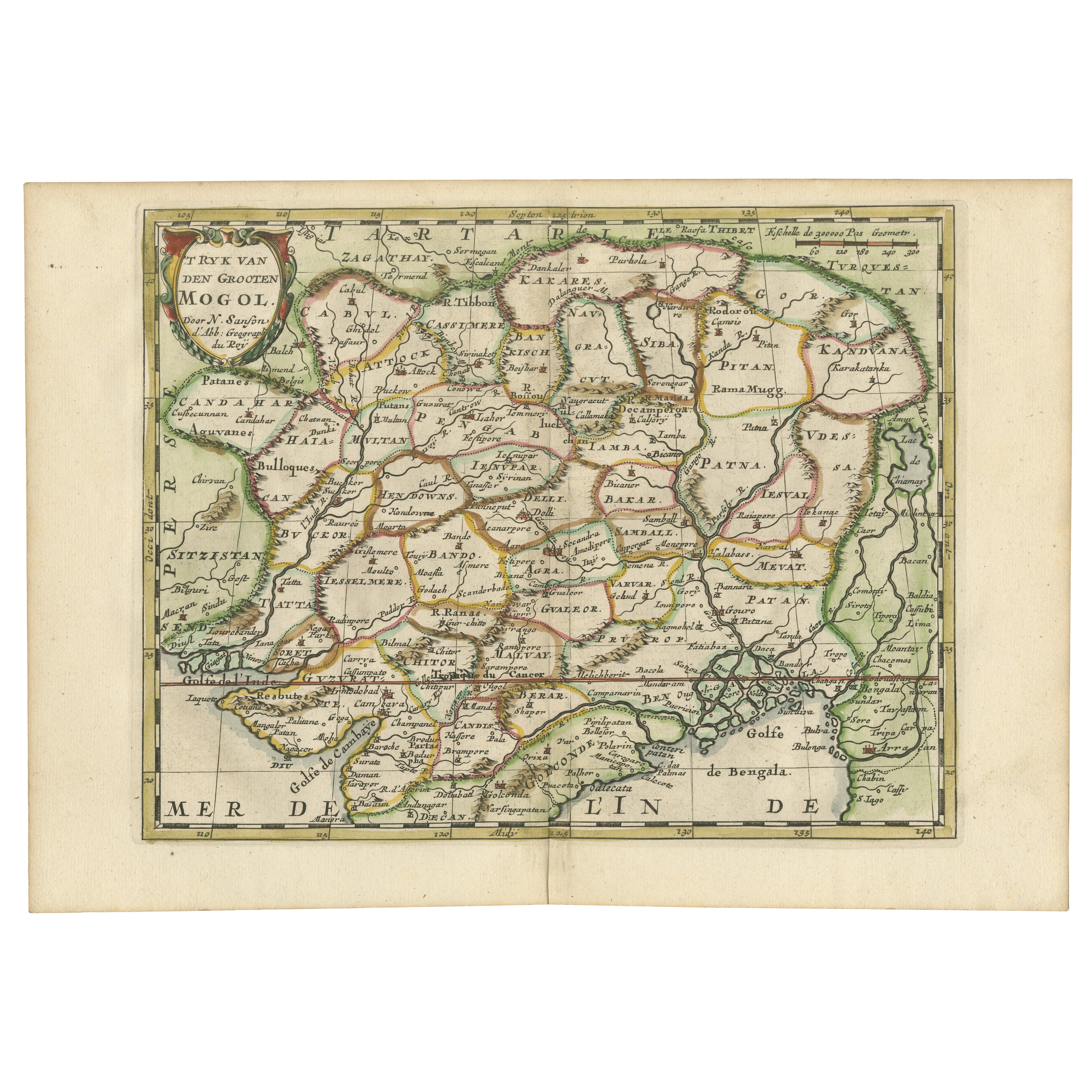
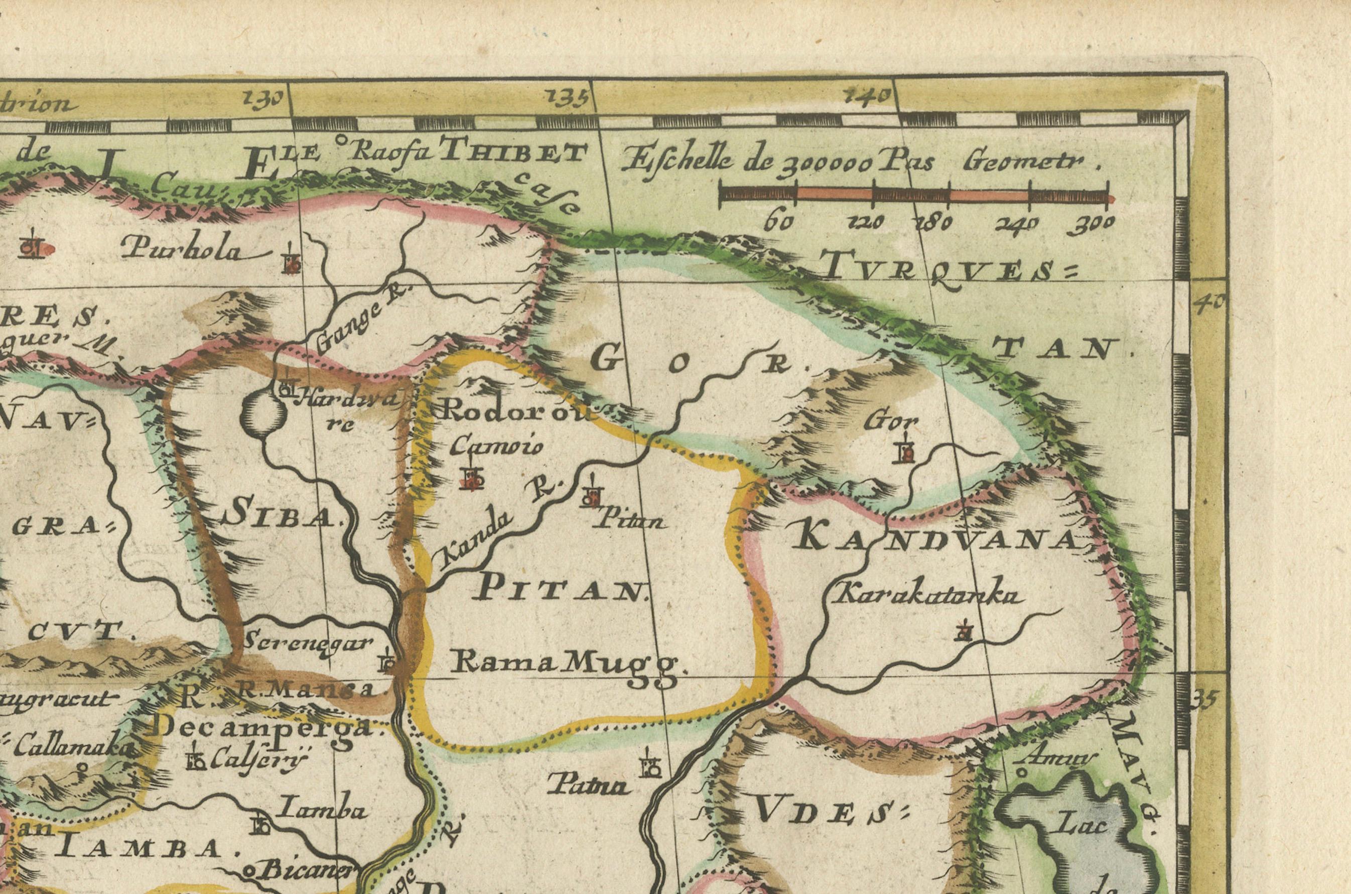
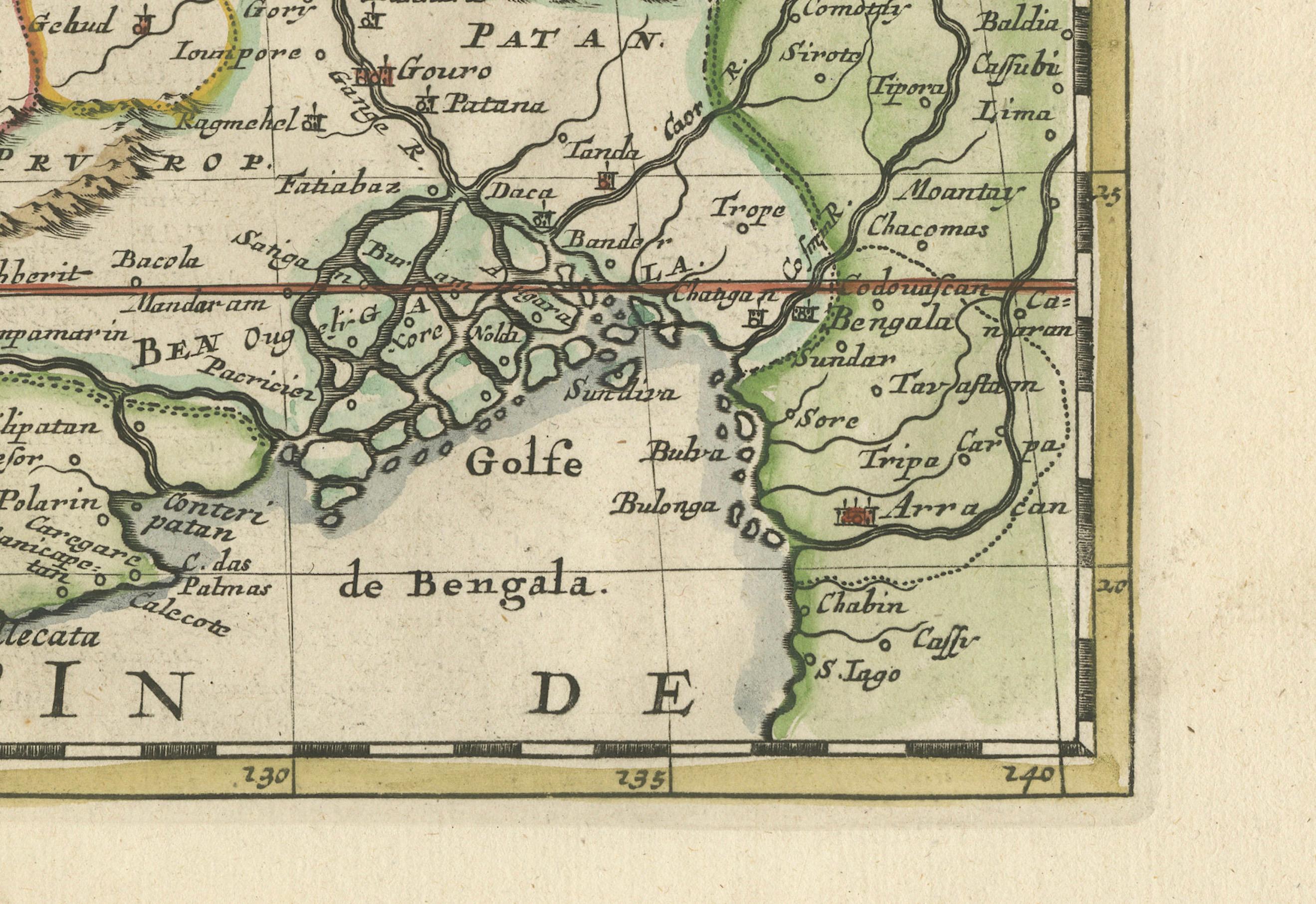
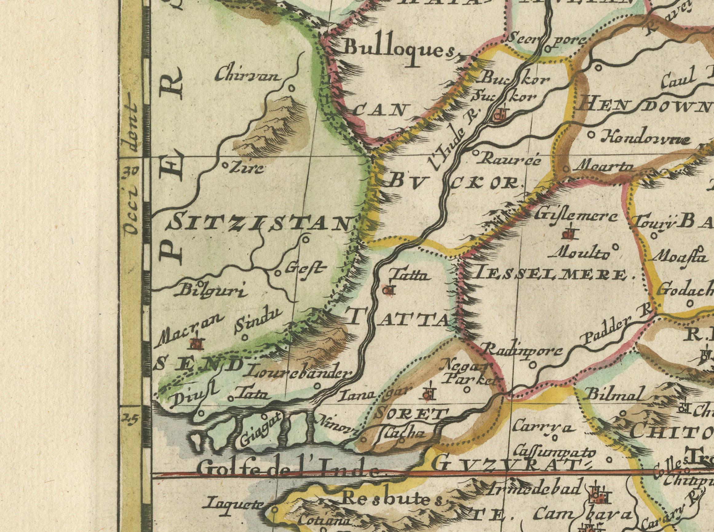
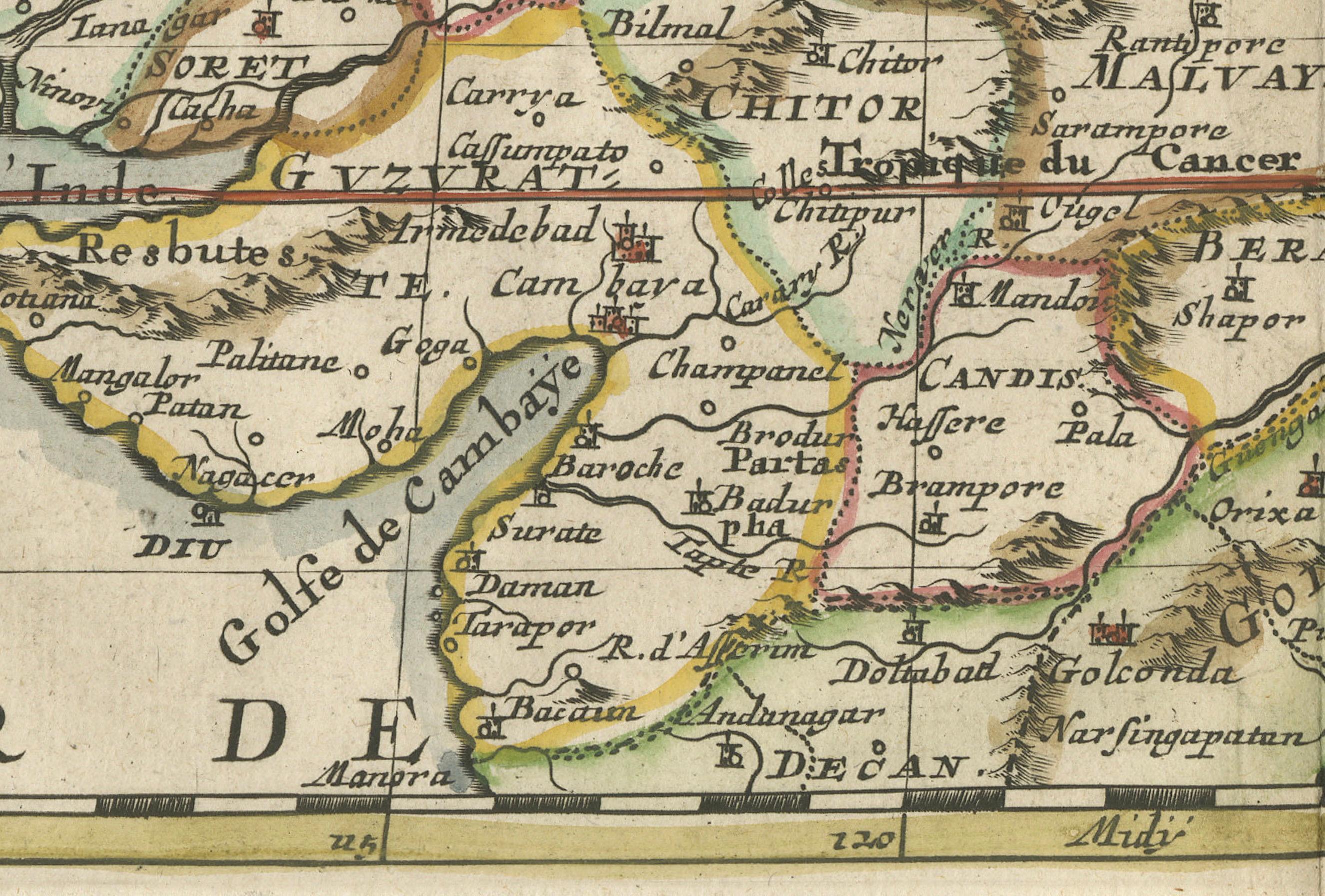
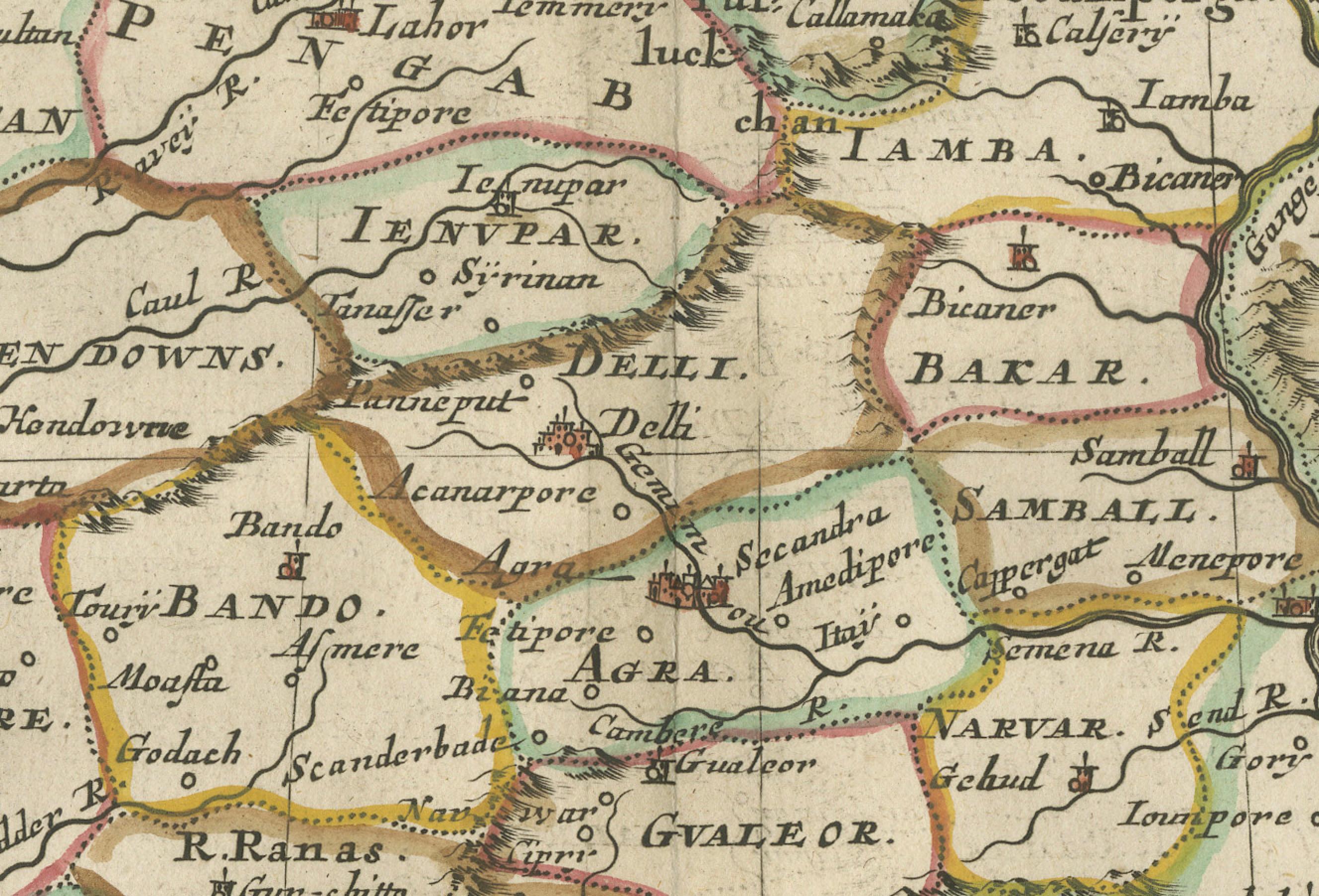
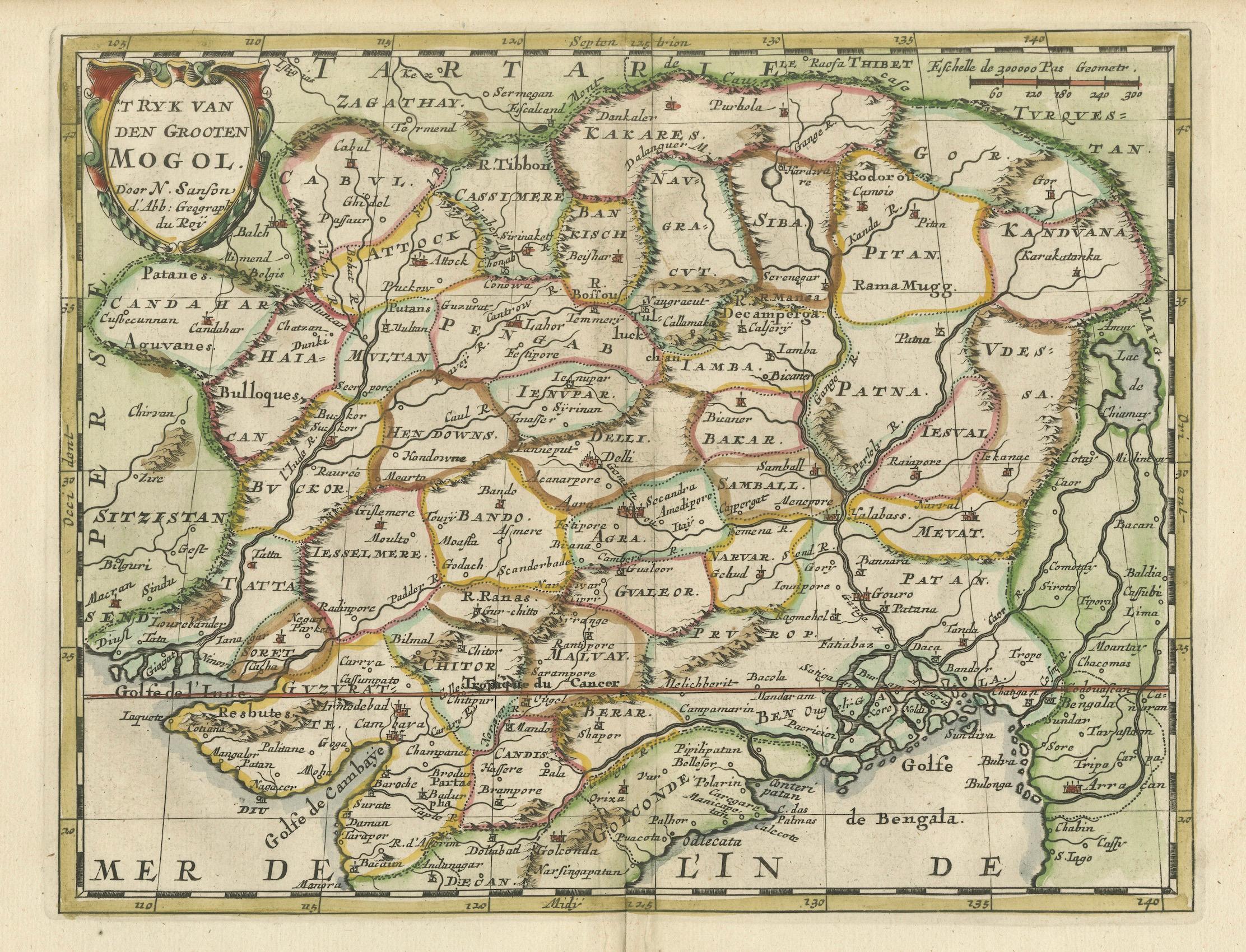
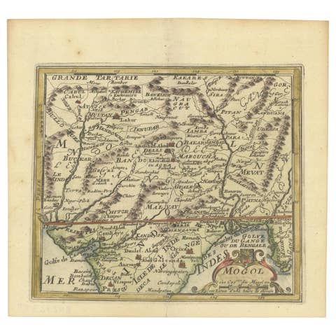
This original antique map titled “'T Ryk van den Grooten Mogol” by Nicolas Sanson from 1705 is an interesting historical artifact. It depicts the extent of the Mughal Empire in Northern India and adjacent regions during the early 18th century. This period corresponds to the later years of the Mughal Empire's peak and hints towards its subsequent decline.
The map shows the political divisions, topography, cities, and major towns of the time. The presence of the mythical Lac de Chiamay, a lake that was once thought to be the source of important Southeast Asian rivers, is particularly notable for illustrating the geographical misconceptions of that era.
Sanson's maps were widely copied and reissued with various modifications by different publishers, indicating their popularity and the importance of his work in the cartographic community. These maps would have been used for navigation, trade, and also to assert political claims over territories.
In more detail:
Title: “'T Ryk van den Grooten Mogol”
Subject: Northern India Creator: Sanson, Nicolas Date: 1705 (published) Color: Hand Color Size: 9.7 x 7.6 inches (24.6 x 19.3 cm) Source: Algemeene Weereld-Beschryving… This small map covers Northern India and present-day Nepal and Bangladesh and shows the political divisions, topography, cities and major towns. At right is the mythical Lac de Chiamay with three rivers flowing south. It is decorated with a strapwork title cartouche.
Sanson's small maps from his L'Asie en Plusieurs Cartes..., first published in 1652 and engraved by A. Peyrounin, were copied several times by various map publishers. Johann David Zunners made copies of Sanson's maps for his German translation of Die Gantze Erd-Kugel in 1679. Johannes Ribbius and Simon de Vries published copies in 1682 and 1683, with new maps engraved by Antoine d'Winter. The plates were later sold to Francois Halma, who used them in 1699 and then again in 1705 with the titles re-engraved in Dutch. The titles on the d'Winter plates were re-engraved back into French, and then used by Nicholas Chemereau in 1715 and by Henri du Sauzet in 1738.