Antique Maps of South-East Asia
142 original sheets
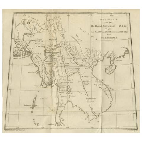
Antique Map of the Burmese Empire and Upper Indochina – by Dalrymple, c.1800
1800 · € 390

The Philippines & Southeast Asia – Bonne’s Antique Map of Indo-China, c.1780
1780 · € 540
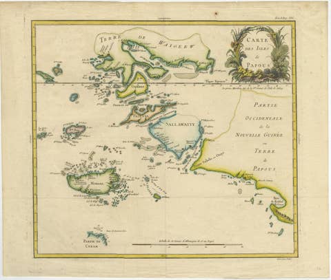
Antique Map of Raja Ampat and New Guinea, Bellin, Papuan Islands c.1749
1749 · € 890
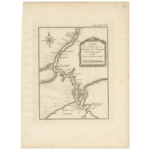
Antique Map of the Tonkin River ‘Vietnam’ by J.N. Bellin, 1764
1764 · € 207
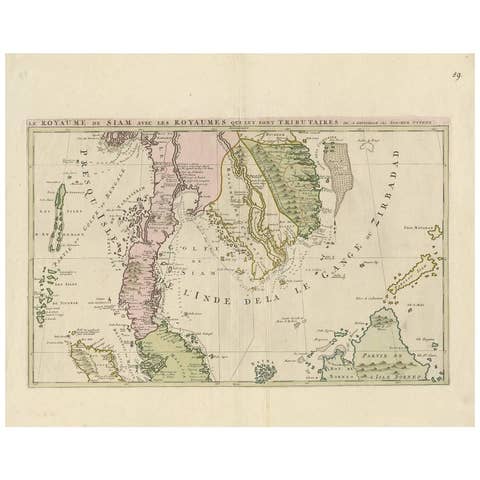
Antique Map of Southeast Asia by J. Ottens, 1710
1710 · € 1 505
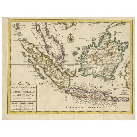
Antique Map of the Sunda Islands Sumatra, Java, Malay Peninsula & Borneo (1739)
1739 · € 539
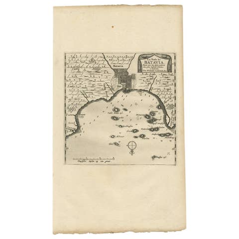
Antique Map of Batavia, Jakarta, Indonesia by P. Van Der Aa, 1719
1719 · € 365
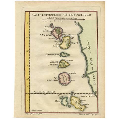
Antique Map of the Moluques Islands, Part of Indonesia, circa 1750
1750 · € 210
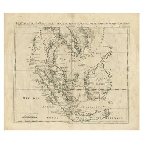
Antique Map of Southeast Asia by Chatelain, c.1732
1732 · € 775
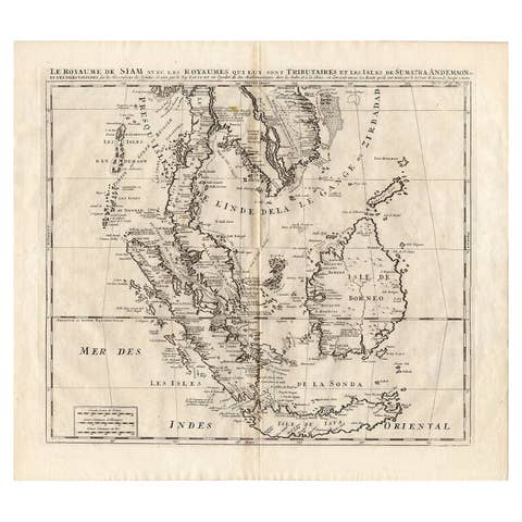
Antique Map of Southeast Asia by Chatelain, c.1732
1732 · € 860

Antique Map of Southeast Asia by Dussy, 1778
1778 · € 220
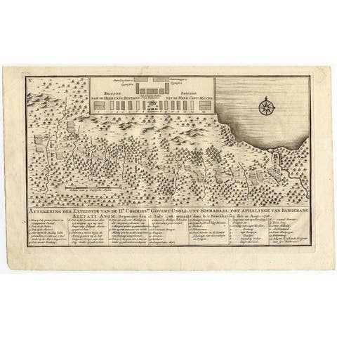
Antique Map of the Expedition of Govert Knol by Valentijn, 1726
1726 · € 108
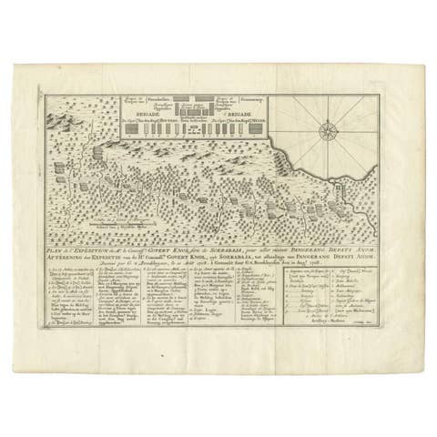
Antique Map of the Expedition of Govert Knol by Van Schley, 1765
1765 · € 120
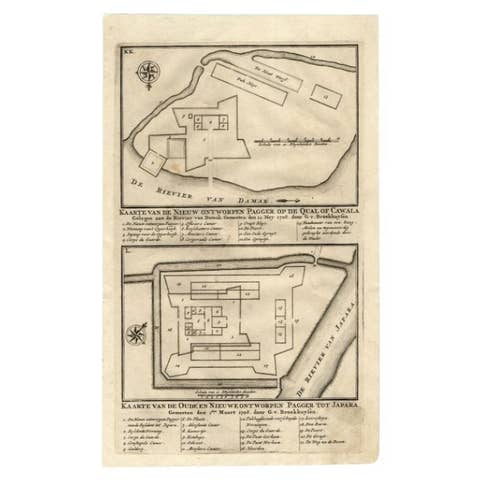
Antique Map of the Fortifications of Demak and Jepara by Valentijn, 1726
1726 · € 158
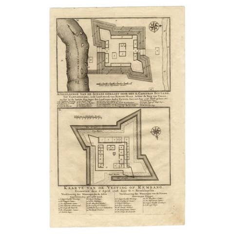
Antique Map of the Fortress of Captain E. Bintang by Valentijn, 1726
1726 · € 93
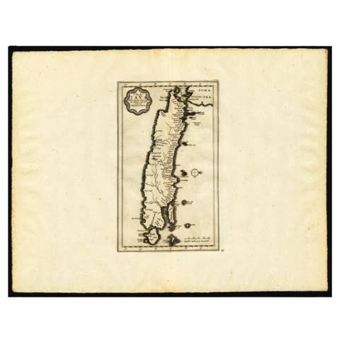
Antique Map of the Island of Java by Van Der Aa, 1725
1725 · € 395
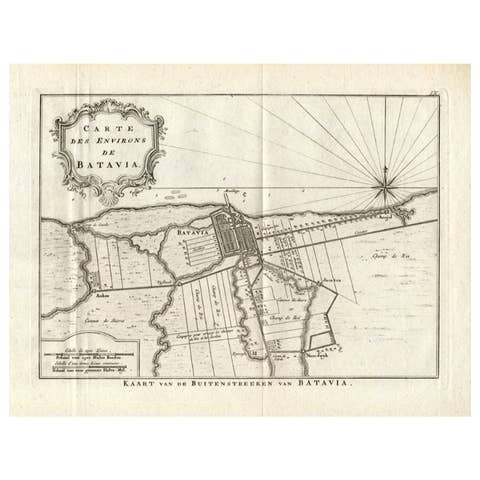
Antique Map of the Region of Batavia by Conrade, 1782
1782 · € 315

Antique Map of the Region of Batavia by Van Schley, c.1750
1750 · € 168
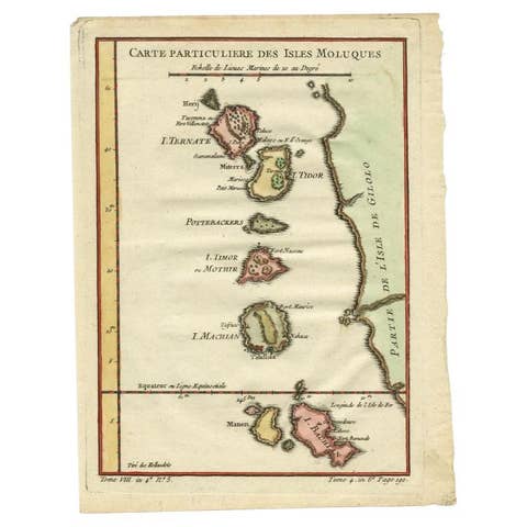
Antique Map of the Maluku Islands by Bellin, c.1750
1750 · € 125
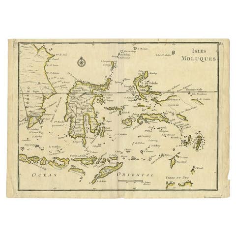
Antique Map of the Maluku Islands by Le Rouge, c.1750
1750 · € 158
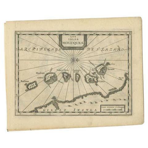
Antique Map of the Maluku Islands by Van der Aa, 1714
1714 · € 199
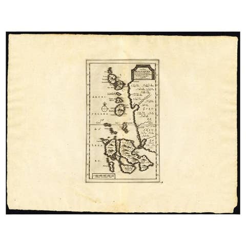
Antique Map of the Maluku Islands by Van der Aa, 1725
1725 · € 263
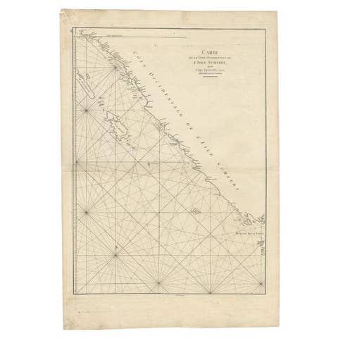
Antique Map of the South-Western Coast of Sumatra by De la Haye, c.1780
1780 · € 405

Antique Plan of Batavia, Nowadays Jakarta, Indonesia, 1780
1780 · € 1 848

Antique Map of the Tunquin River and Bay, Siam, 1757
1757 · € 340
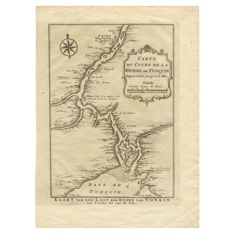
Antique Map of the Tunquin River and Bay to Cacho, the Capital City, Siam, 1758
1758 · € 220
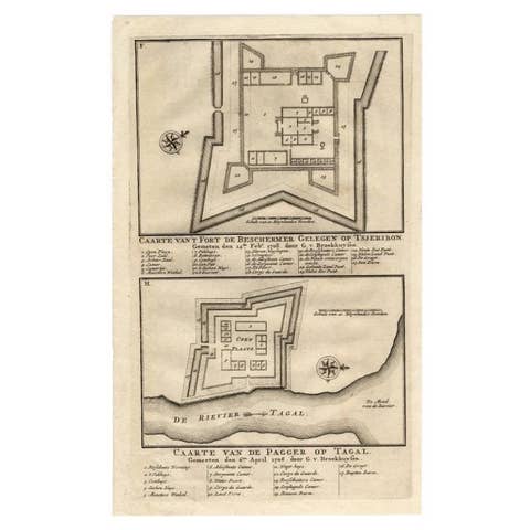
Antique Print of the Fortress on Cheribon or Cirebon, Java, Indonesia, 1726
1726 · € 330
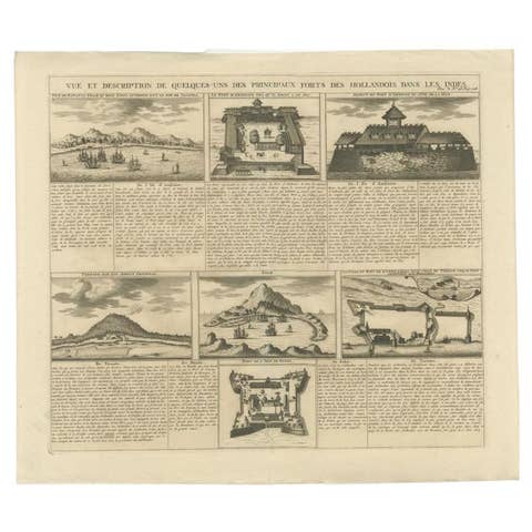
Antique Print of Forts and Views of the East Indies or Nowadays Indonesia, 1719
1719 · € 490
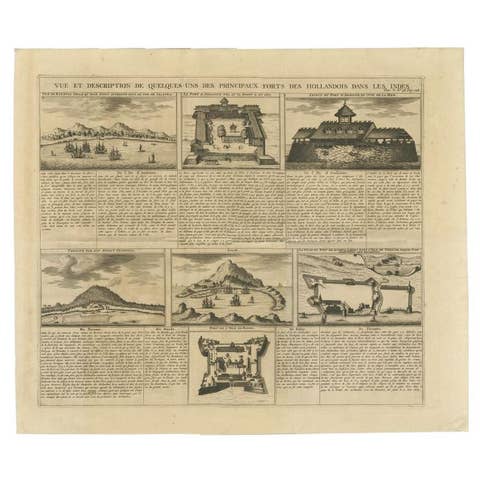
Antique Print of Forts and Views of the East Indies by Chatelain (1719)
1719 · € 490
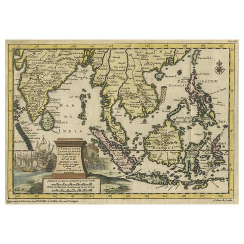
Striking Antique Map Centered on the Malay Peninsula, 1706
1706 · € 1 200
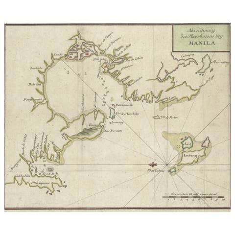
Antique Map of the Bay of Manila, Capital of the Philippines, 1763
1763 · € 460
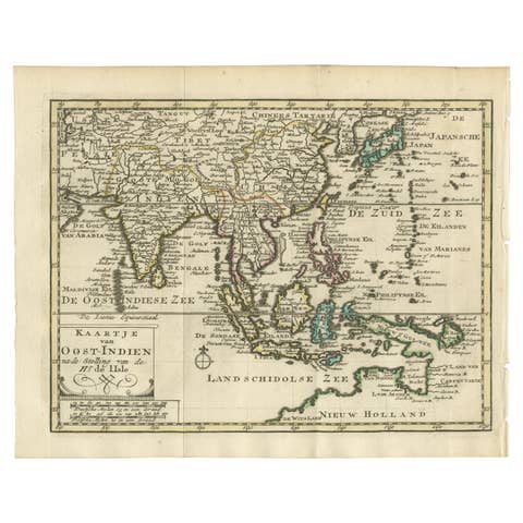
Authentic Old Map of Southeast Asia with Original Border Coloring, 1745
1745 · € 440

Authentic Old Map of Sumatra, Malaysia and Singapore, 1745
1745 · € 480
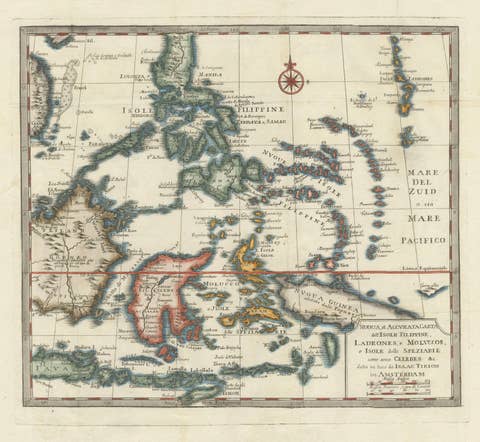
Antique Map of the Philippines & Eastern Indonesia: Spice Islands by Tirion 1738
1738 · € 739

1750 Bellin Map of the Red River (Tonkin River) and Hanoi, Vietnam
1750 · € 130
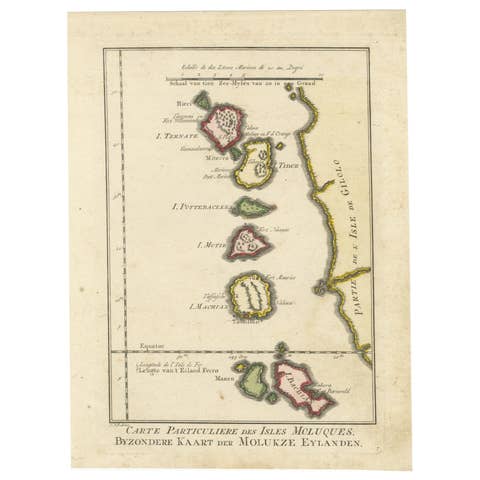
Old Map of the Spice Islands, Moluccas by Bellin, Published in 1771
1771 · € 200
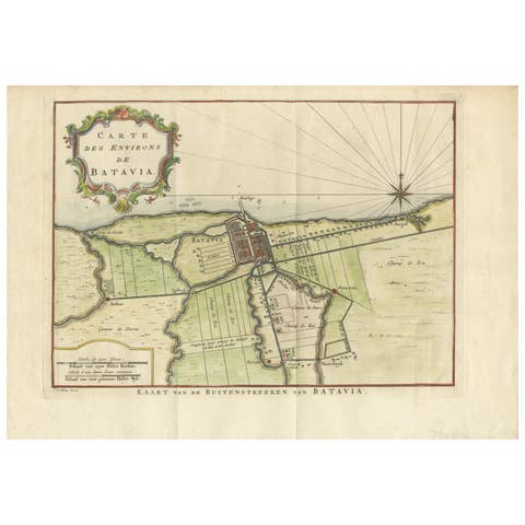
Map of Batavia’s Surroundings with Early Reference to Jakarta, Indonesia, c.1770
1770 · € 440
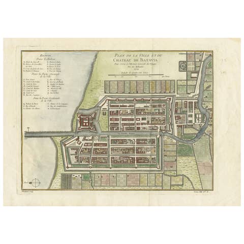
Hand-Colored 1750 Plan of Batavia, Colonial Jakarta, Indonesia by Jacques Bellin
1750 · € 640
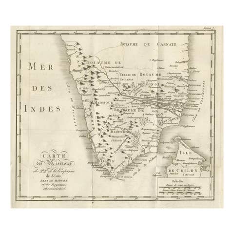
Antique Map of the Jesuit Missions in Madurai and Surrounding Kingdoms, c.1760
1760 · € 440

Antique Map of Tonkin, Northern Vietnam – Red River Delta, Engraved circa 1780
1780 · € 440
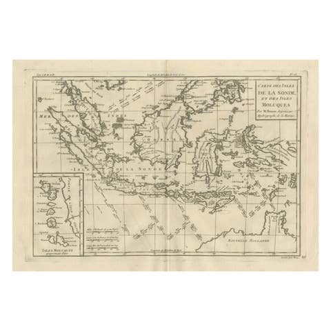
Antique East Indies Map by Rigobert Bonne, Copper Engraving, 1780
1780 · € 350

Elegant 18th Century Map of Southeast Asia, Siam, Sumatra & Java by Bonne - 1787
1787 · € 580

Antique Map Philippines – Moluccas, Celebes, Spice Islands – Tirion, c.1738
1738 · € 690
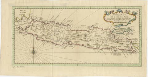
Antique Map of Java Indonesia, VOC Period, Decorative Cartouche, c.1750
1750 · € 549

Carte des Isles Philippines – Antique Map of the Philippines, 1752
1752 · € 1 200
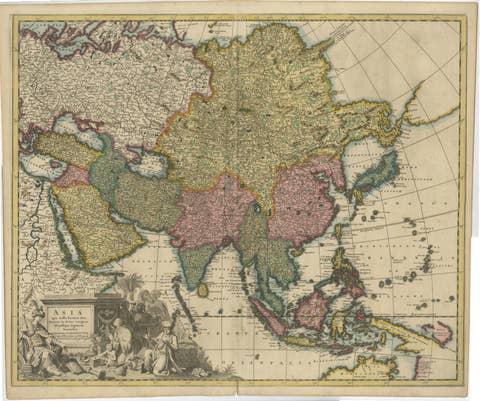
Decorative Antique Map of Asia and the East Indies, circa 1720
1720 · € 1 150