Maps & PrintsBartele Gallery · Langweer
Home / Antique Maps / Asia / South-East Asia / East Indies

East Indies · 18th century

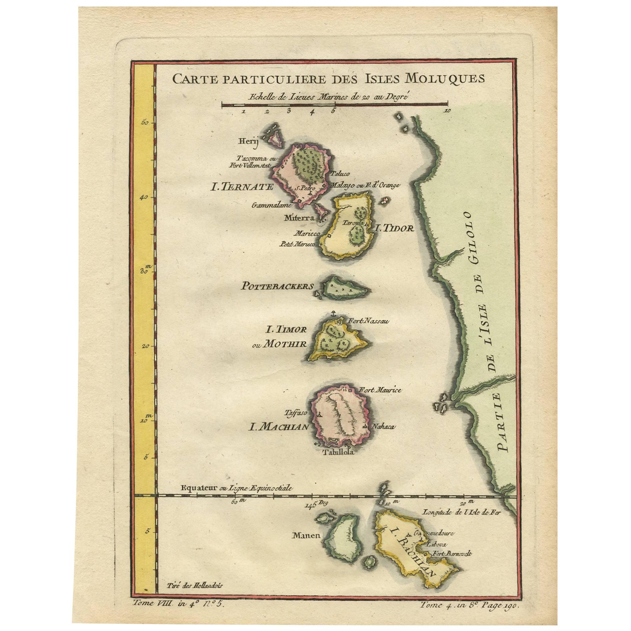
Antique Map of the Moluques Islands, Part of Indonesia, circa 1750

€ 210

One of a kind: this is the sheet in the photographs. Ships from Langweer, the Netherlands.

Date
1750
Sheet size
25.2 × 19.4 cm (9.9 × 7.6 in)
Condition
Good
Reference
BG-06739

Condition

Please study image carefully.
About this sheet

Map of the Moluques (also known as the Moluccas, Moluccan Islands or simply Maluku). Depicts the islands of Herij, Ternate, Tidor, Pottebackers, Timor, Machian and Bachian.

More from East Indies

Ask about this sheet

Antique Map of the Moluques Islands, Part of Indonesia, circa 1750
1750 · Ref. BG-06739 · € 210
We reply by email, usually within one working day.