Maps & PrintsBartele Gallery · Langweer
Home / Antique Maps / Asia / South-East Asia

South-East Asia · 18th century

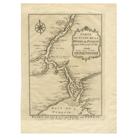
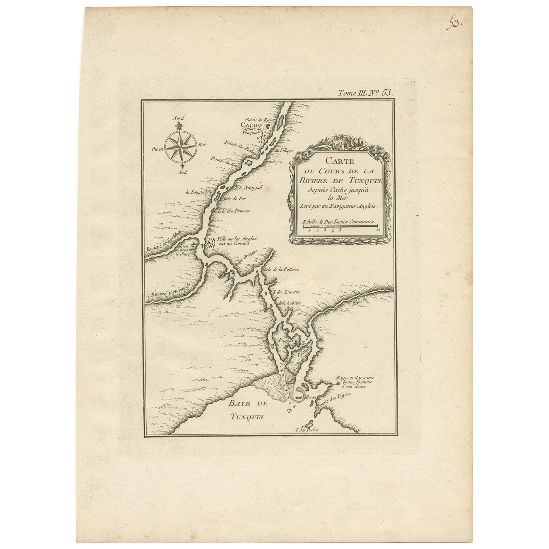
Antique Map of the Tonkin River ‘Vietnam’ by J.N. Bellin, 1764

€ 207

One of a kind: this is the sheet in the photographs. Ships from Langweer, the Netherlands.

Date
1764
Sheet size
32.4 × 24 cm (12.8 × 9.4 in)
Condition
Good
Reference
BG-03528

Condition

Please study image carefully.
About this sheet

One of the maps produced by Bellin for Prevost d'Exiles' influential travel book, ‘L'Histoire Generale des Voyages’. This map depicts part of Southeast Asia, most likely northern Vietnam around the area of present-day Hanoi. It shows the progress of the Tonkin River (now renamed) as it flows from the city of Cacho into the Gulf of Tonkin. The map includes detail along the river and ocean coastlines that would have been useful to navigators, such as the locations of islands, and depth and sounding information.

More from South-East Asia

Ask about this sheet

Antique Map of the Tonkin River ‘Vietnam’ by J.N. Bellin, 1764
1764 · Ref. BG-03528 · € 207
We reply by email, usually within one working day.