Maps & PrintsBartele Gallery · Langweer
Home / Antique Maps / Asia / South-East Asia / East Indies

East Indies · 18th century

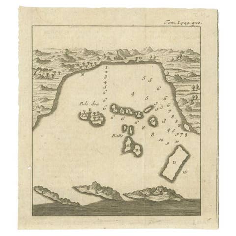
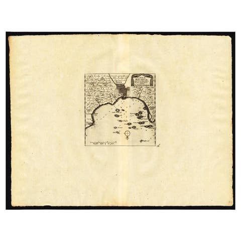
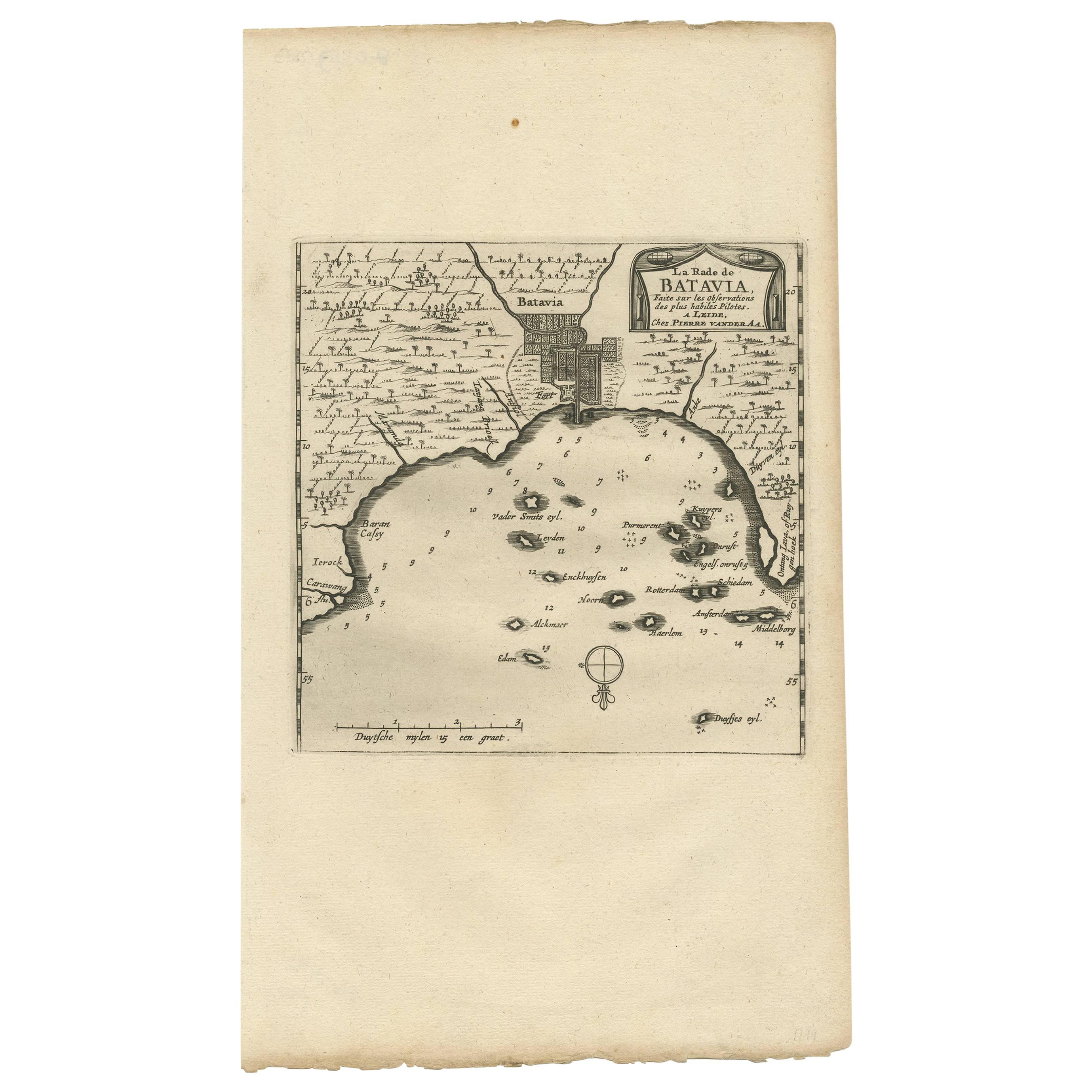
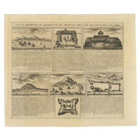
Antique Map of Batavia, Jakarta, Indonesia by P. Van Der Aa, 1719

€ 365

One of a kind: this is the sheet in the photographs. Ships from Langweer, the Netherlands.

Date
1719
Sheet size
33 × 19 cm (13.0 × 7.5 in)
Condition
Good
Reference
BG-04167

Condition

Please study image carefully.
About this sheet

A small early 18th century black and white map of Batavia by the Dutch cartographer Pieter Van Der Aa. This map was first published in his 'Nouvel Atlas (..)' in 1714 as map 156. The map was re-issued in his monumental work entitled 'Galerie Agreable du Monde'.

More from East Indies

Ask about this sheet

Antique Map of Batavia, Jakarta, Indonesia by P. Van Der Aa, 1719
1719 · Ref. BG-04167 · € 365
We reply by email, usually within one working day.