Maps & PrintsBartele Gallery · Langweer
Home / Antique Maps / Asia / South-East Asia

South-East Asia · 18th century

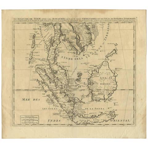
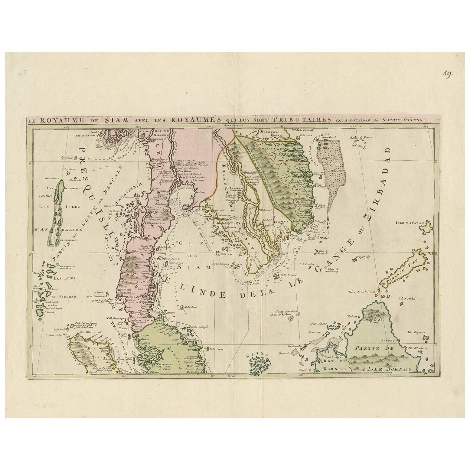
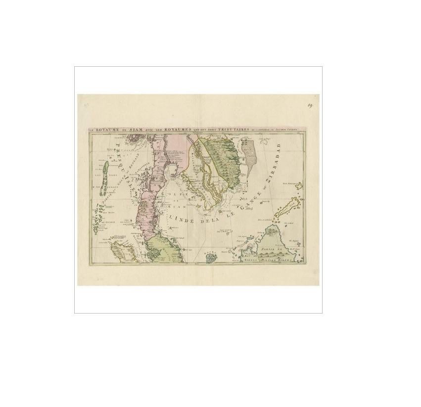
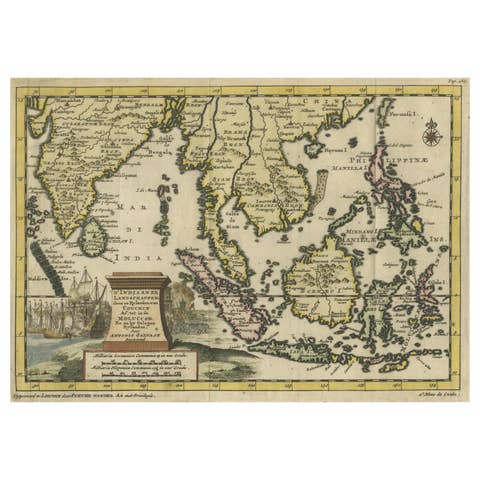
Antique Map of Southeast Asia by J. Ottens, 1710

€ 1 445

One of a kind: this is the sheet in the photographs. Ships from Langweer, the Netherlands.

Date
1710
Sheet size
51.2 × 63 cm (20.2 × 24.8 in)
Condition
Good
Reference
BG-04181

Condition

Please study image carefully. Some small tears along the edges of the paper.
About this sheet

Antique map titled 'Le Royaume de Siam avec Les Royaumes Qui Luy sont Tributaries'. Influential map of Southeast Asia. Ottens incorporated information provided by the French Jesuits and charts the route of the French Embassy to and from Siam in 1685-1686 through the Straits of Banca and the Gulf of Siam. This map is the upper part of another map by J. Ottens. The upper map focuses on the territories currently occupied by modern day Thailand, Cambodia, Vietnam, northern Borneo, and northern Malaysia.

More from South-East Asia

Ask about this sheet

Antique Map of Southeast Asia by J. Ottens, 1710
1710 · Ref. BG-04181 · € 1 445
We reply by email, usually within one working day.