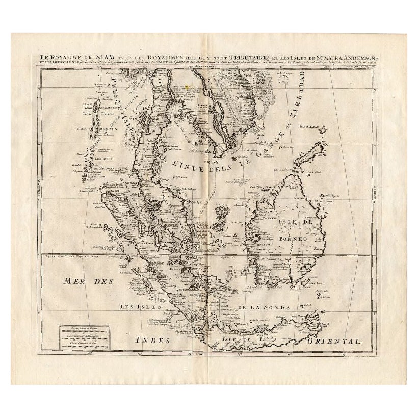
Antique Map of Southeast Asia by Chatelain, c.1732
€ 860
Original antique · The actual sheet photographed · Certificate of authenticity on request · Sold unframed · Worldwide shipping from € 15 (rates)
Date
1732
Mapmaker / artist
Henri Abraham Chatelain (1684-1743), his father Zacharie Chatelain (d.1723) and Zacharie Junior (1690-1754), worked as a partnership publishing the *Atlas Histo
Sheet size
44 × 50 cm (17.3 × 19.7 in)
Reference
PCT-40378
What the condition grades mean
Excellent
Bright and clean, with no faults worth mentioning.
Very good
Only light signs of age, such as faint toning.
Good
Normal signs of age for a sheet of this period: toning, some foxing, small marks or neat old repairs.
Fair
Clear faults such as staining, tears or repairs, priced to match.
Every fault we see is written in the condition note, and the whole sheet is shown uncropped in the photos.
Condition
Very good, given age. Original fold from binding. General age-related light toning. Tiny pinhole. Small yellow stain near top middle. Please review the images for further condition details.
About this sheet
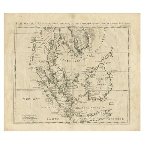
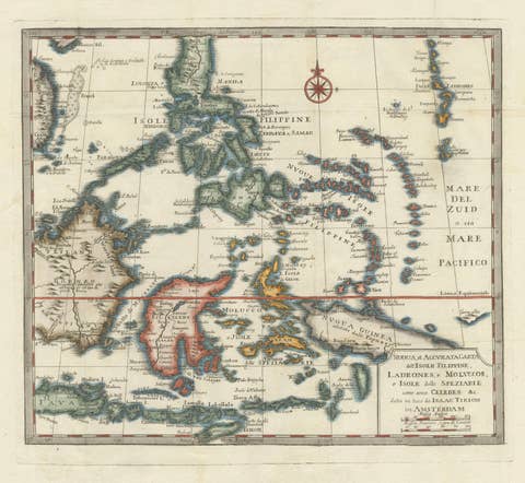
"Antique map titled 'La Royaume de Siam avec les Royaumes qui luy sont Tributaires et les Isles de Sumatra Andemaon'. It shows: Southeast Asia; Borneo, Java, Siam (Thailand), Malacca (Malaysia) and Cochinchina (Vietnam). This original old antique print / plate originates from the fifth volume of: 'Atlas Historique (..)' published by Zacharie Chatelain, Amsterdam, 1732. The atlas was published in seven volumes between 1705 and 1720, with a second edition appearing in 1732. The maps were accompanied by information pertaining to cosmography, geography, history, chronology, genealogy, topography, heraldry, and costumes of the world. The maps in the Atlas Historique were mainly based on those of the French cartographer, Guillaume De L'Isle, but were presented by the Chatelains in an encyclopaedic form. We do not know the exact edition of this map. Artists and Engravers: Henri Abraham Chatelain (1684-1743), his father Zacharie Chatelain (d.1723) and Zacharie Junior (1690-1754), worked as a partnership publishing the Atlas Historique, Ou Nouvelle Introduction A L'Histoire under several different Chatelain imprints, depending on the Chatelain family partnerships at the time of publication.
Condition: Very good, given age. Original fold from binding. General age-related light toning. Tiny pinhole. Small yellow stain near top middle. Please study image carefully. Date: c.1732 Overall size: 50 x 44 cm. Image size: 43.5 x 38.5 cm.
They were the product of engraved, etched or lithographed plates. These plates were handmade out of wood or metal, which required an incredible level of skill, patience and craftsmanship. Whether you have a house with Victorian furniture or more contemporary decor an old engraving can enhance your living space. We offer a wide range of authentic antique prints for any budget.".