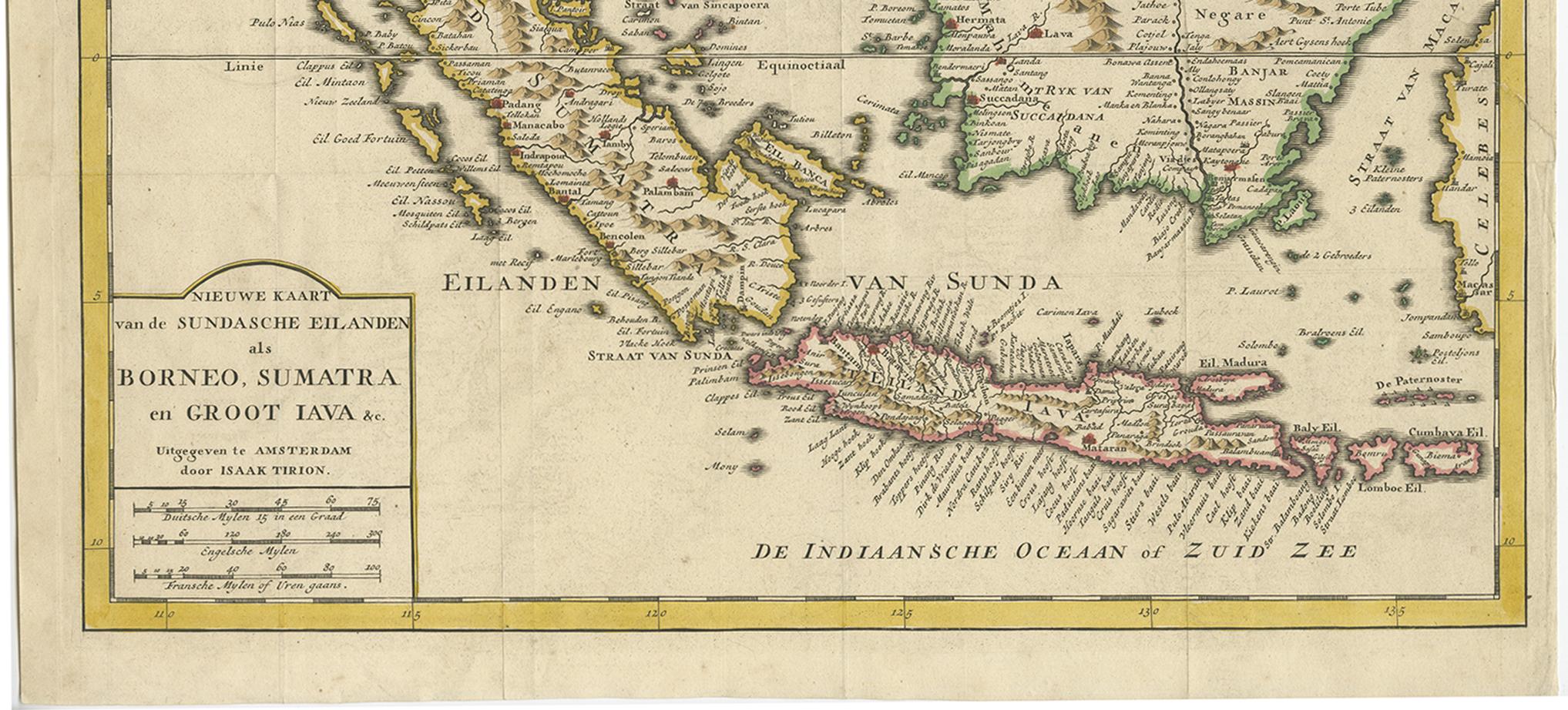
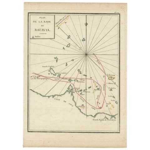
Antique Map of the Sunda Islands Sumatra, Java, Malay Peninsula & Borneo (1739)
€ 539
One of a kind: this is the sheet in the photographs. Ships from Langweer, the Netherlands.
Date
1739
Mapmaker / artist
Isaak Tirion
Sheet size
31 × 39.5 cm (12.2 × 15.6 in)
Condition
Good
Reference
BG-04050
Condition
Please study image carefully.
About this sheet
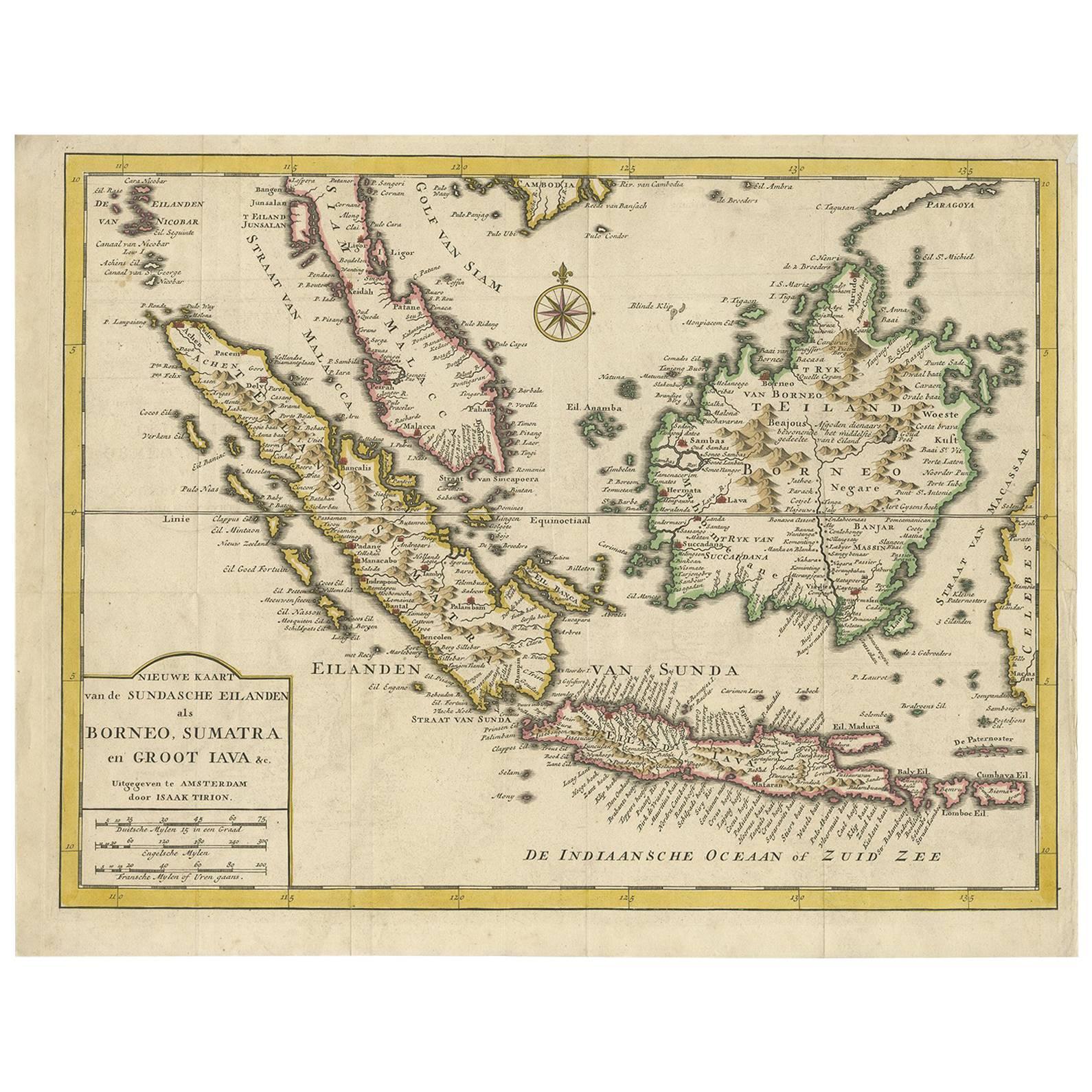
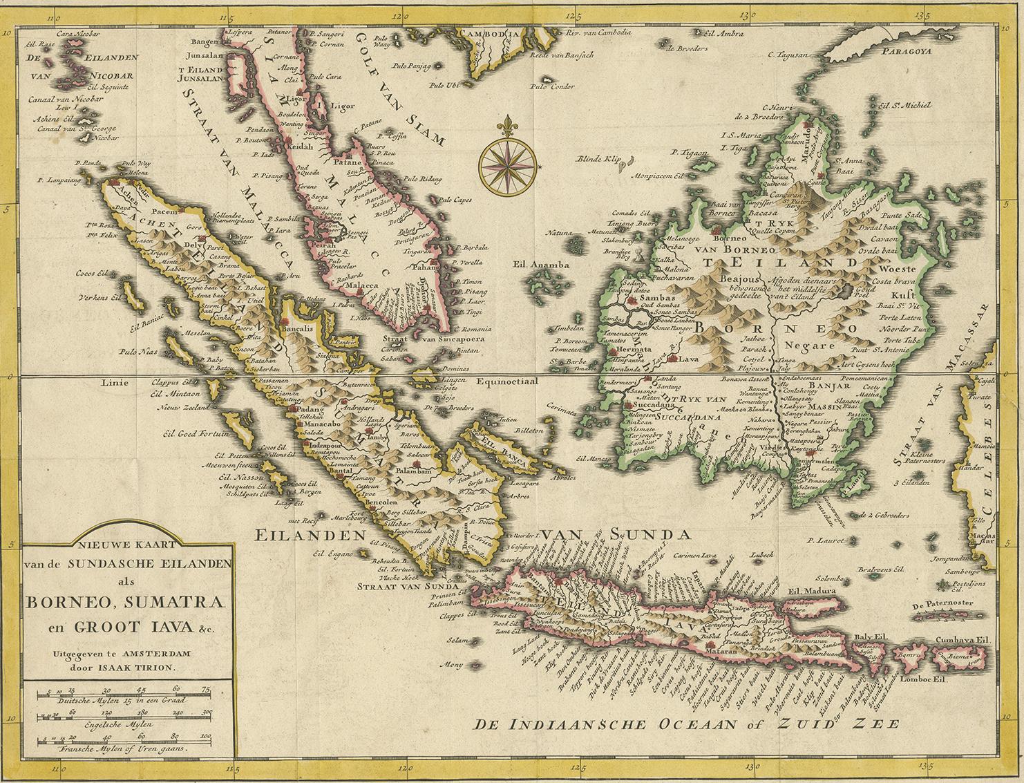
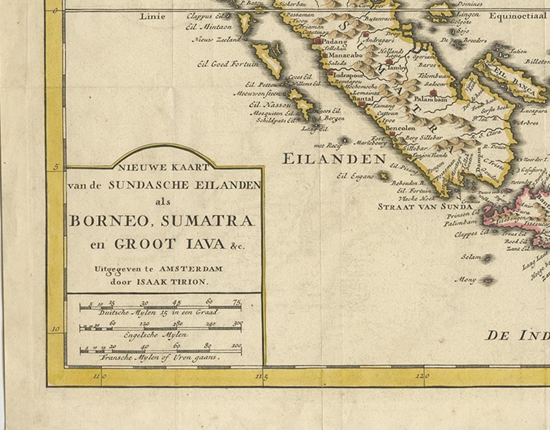
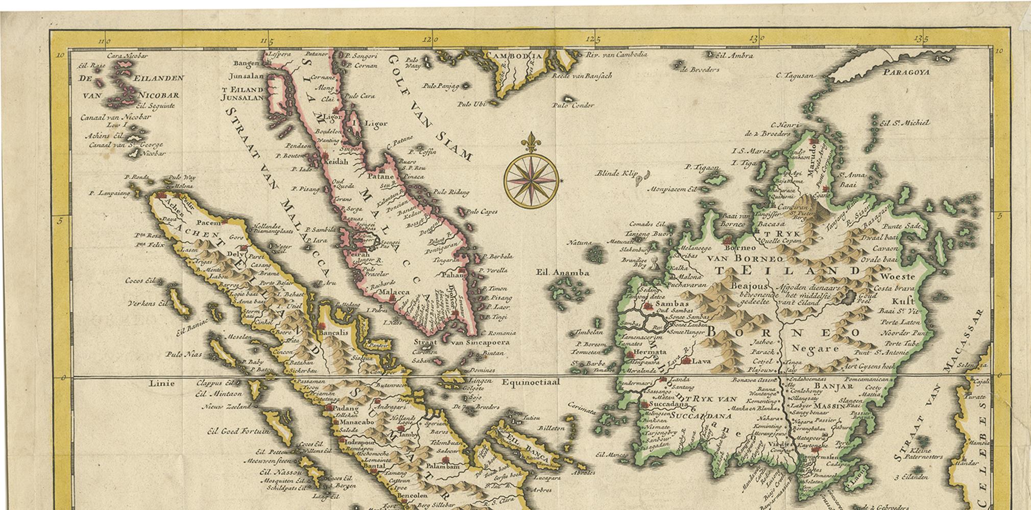
Antique map titled 'Nieuwe kaart van de Sundasche Eilanden als Borneo, Sumatra en Groot Iava & c'. Detailed map of the Sunda Islands, Southeast Asia, extending from the tip of Cambodia to Java. This map originates from: 'Hedendaagsche Historie, of tegenwoordige staat van alle volkeren... II deel...', published by Isaak Tirion, Amsterdam, 1739 ed. (originally published 1730). This is in fact an amended Dutch edition of: 'Modern History: or the Present State of all Nations.', published by Thomas Salmon since 1725. German, Italian and Dutch editions were published as well. This monumental Dutch edition, translated by M. van Gogh and published by Isaac Tirion, was much amended and enlarged into a 39 volume series. This plate originates from the second volume from this series which deals with: Java, Sumatra, Siam, Kochin and Tonkin.