Antique Maps of Africa
81 original sheets

Old Original Map of Africa and Arabia, 1848
1848 · € 130
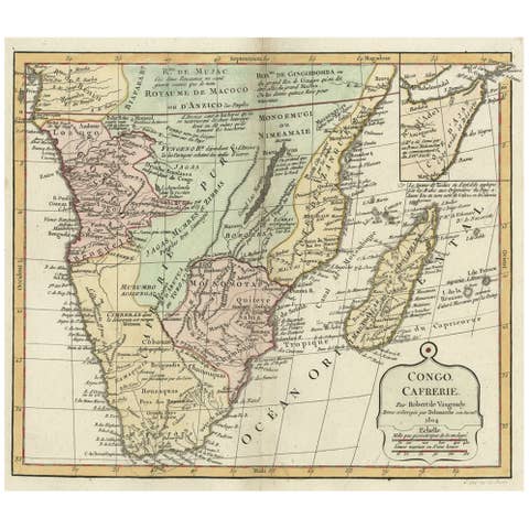
Decorative Antique Map of the Southern Part of Africa, 1806
1806 · € 560
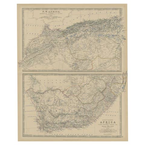
Antique Map of North and South Africa by Johnston, 1882
1882 · € 230
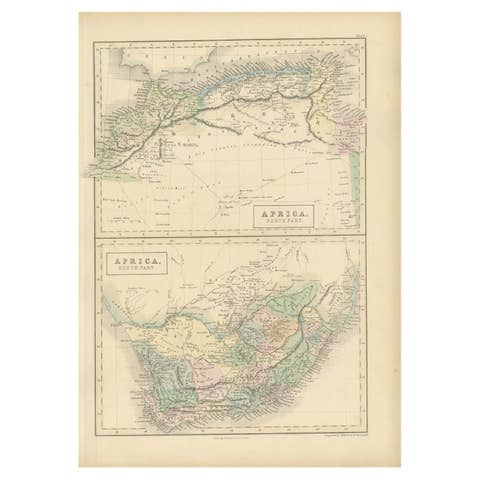
Antique Map of North Africa and South Africa by Black, 1854
1854 · € 109
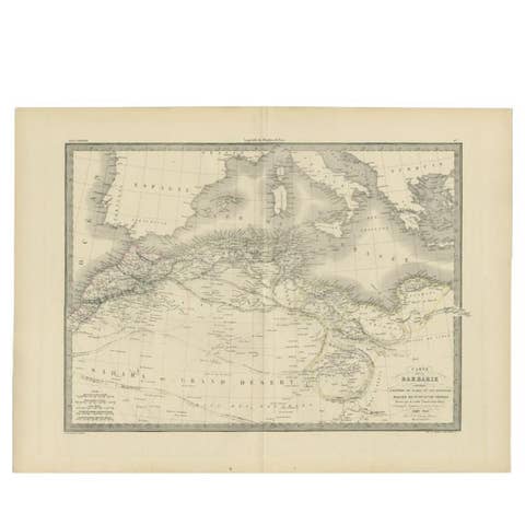
Antique 1842 Map of the Barbary Coast by Pierre M. Lapie, France
1842 · € 260
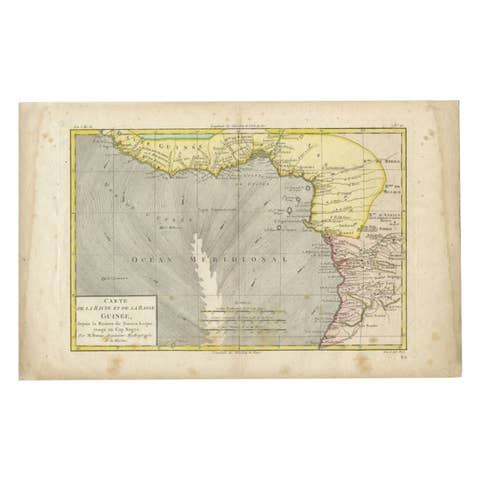
Antique Map of the Coast of Guinea, Africa, 1820
1820 · € 122
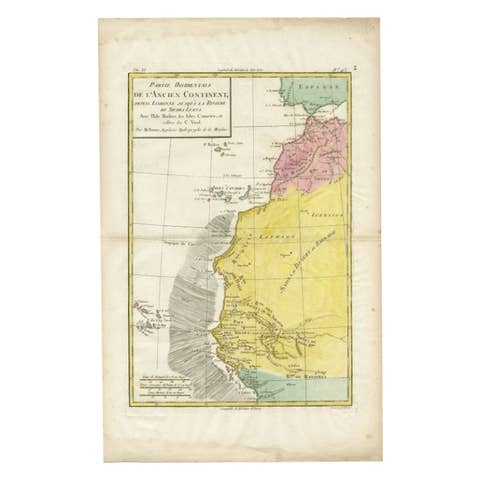
Antique Map of the Coast of Northwest Africa by Dien, 1820
1820 · € 123
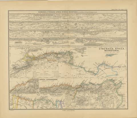
North African Coasts: Marmarica to Mauretania in Roman Times, Published in 1880
1880 · € 370
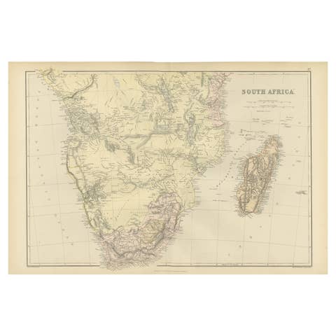
Antique Decorative Colored Map of South Africa and Madagascar, 1882
1882 · € 250
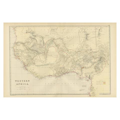
Original Antique Colored Map of Western Africa, Published in 1882
1882 · € 250
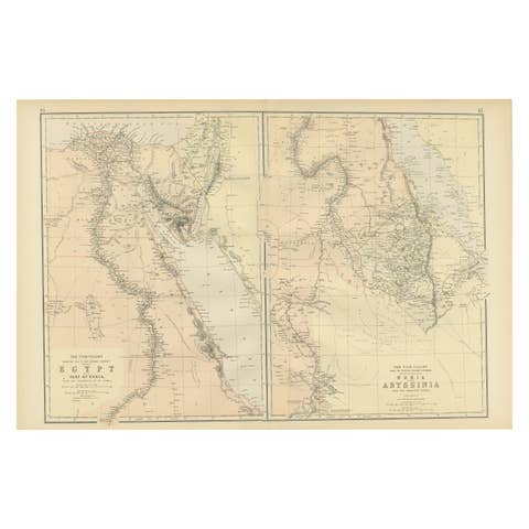
Antique Decorative Colored Map Egypt, Nubia, Abyssinia and more, 1882
1882 · € 250
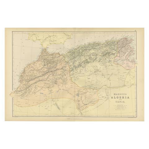
Morocco, Algeria and Tunis, Antique Map of North Africa, Blackie, 1882
1882 · € 280
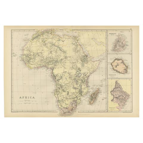
Antique Old Map of Africa with Insets of Mauritius, Reunion and Natal, 1882
1882 · € 250
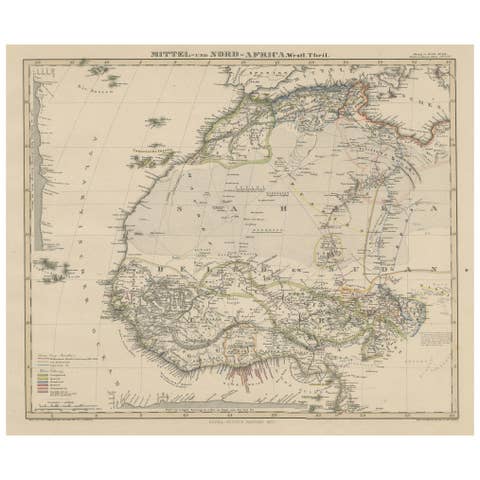
Antique Map of West and Central Africa – Stieler Atlas, Justus Perthes 1857
1857 · € 250
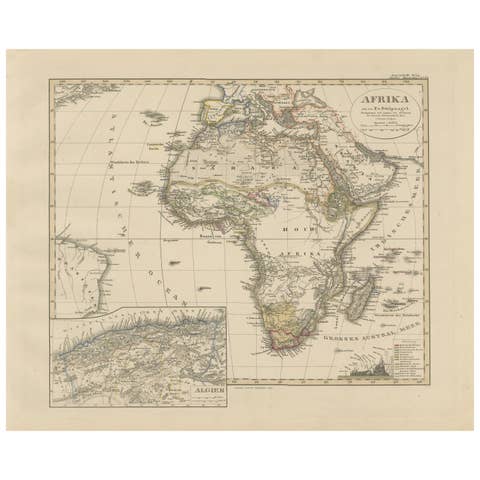
Colorfull Antique Map of Africa with Algeria Inset – Stieler Atlas 1858
1858 · € 380
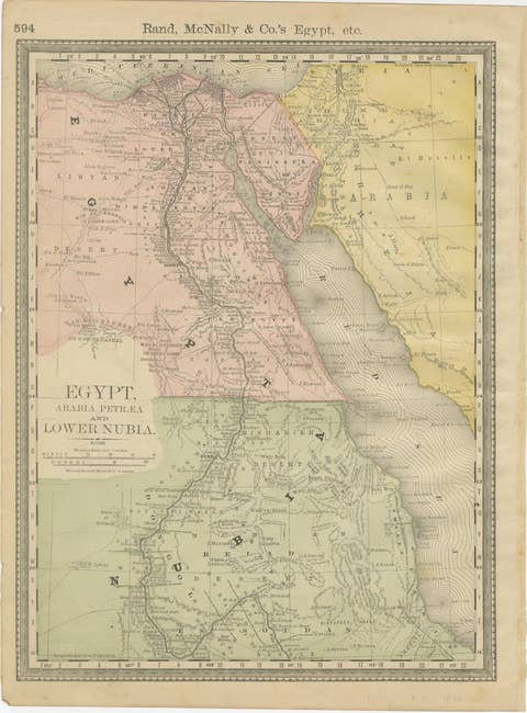
Egypt & Lower Nubia – Elegant Antique Atlas Map of the Nile, ca.1888
1888 · € 390
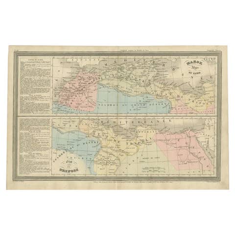
French Antique Map of Northern Africa and Libya, c.1840
1840 · € 92
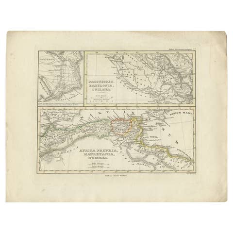
Antique Map of Northern Africa by Perthes, 1848
1848 · € 99
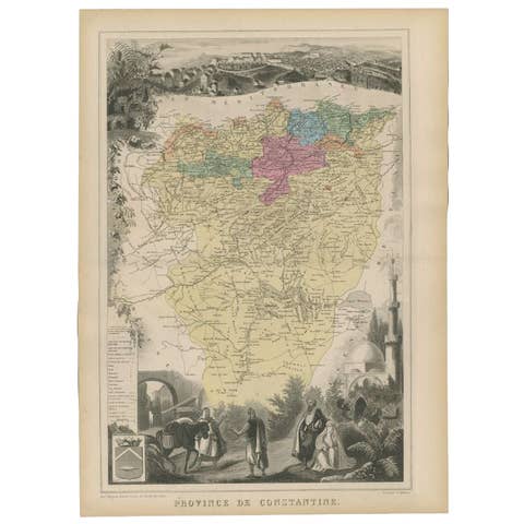
Antique Map of the Province of Constantine, Algeria by Migeon, 1880
1880 · € 105
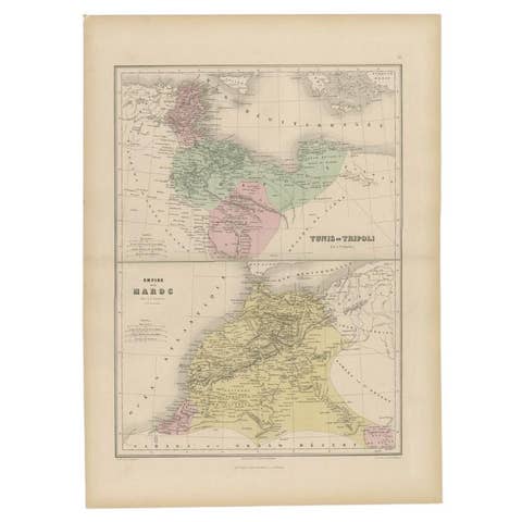
Antique Map of Tunis and Tripoli in Northern Africa, circa 1880
1880 · € 160

Geological Map of Africa by A.K. Johnston – Mountains and Valleys 1852
1852 · € 260
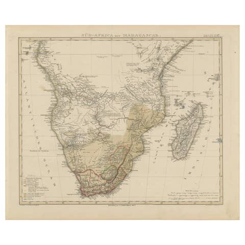
Southern Africa & Madagascar Antique Map – Beautiful 1857 Edition
1857 · € 370
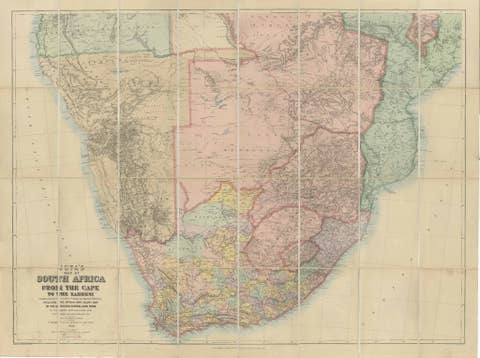
South Africa c.1890 Antique Folding Map – Cape Colony to Zambesi River
1890 · € 2 200

Africa Map with Egypt & South Africa Insets – Nieuwe Hand-Atlas, 1876
1876 · € 270
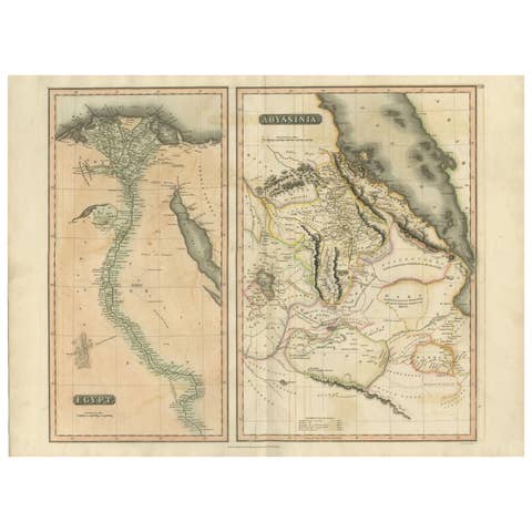
Egypt & Abyssinia – Original Nile Valley and Horn of Africa Maps, c.1817
1817 · € 550
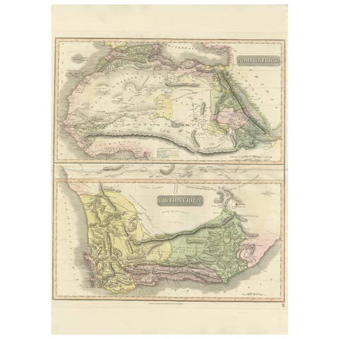
North & South Africa – Elegant Double Map, Hand-Colored, c.1825
1825 · € 880

Egypt and Abyssinia – Nile Valley & Horn of Africa Maps, c.1817–1820
1817 · € 560

The Dominions of Solomon — Biblical Map of the Ancient Near East and Egypt, 1827
1827 · € 390
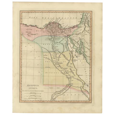
Aegyptus Antiqua — Ancient Egypt Classical Map of the Nile, Wilkinson 1823
1823 · € 350
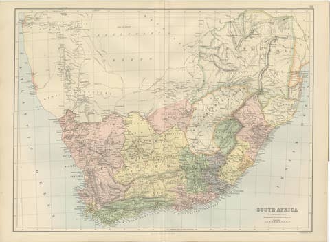
Antique Map South Africa, Bartholomew for Black’s General Atlas - 1884
1884 · € 433

Nile River & Abyssinia Antique Map, Ethiopia–Sudan–Egypt, Lapie 1837
1837 · € 495
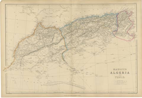
Original Antique North Africa Map, Morocco Algeria Tunis, c.1860
1860 · € 370
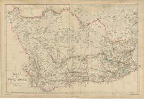
Original Antique Map of Cape of Good Hope, South Africa c.1860
1860 · € 420