Maps & PrintsBartele Gallery · Langweer
Home / Antique Maps / Africa

Africa · 19th century

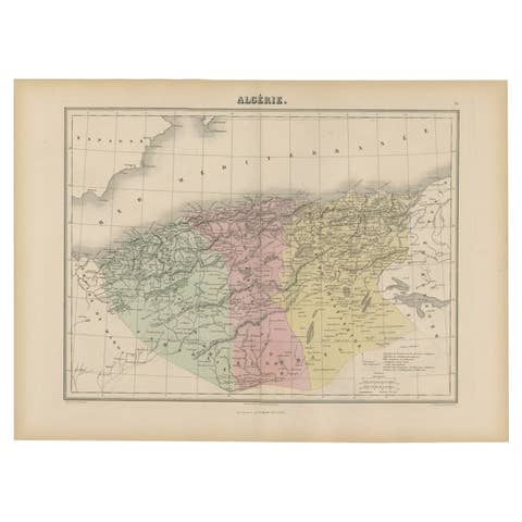
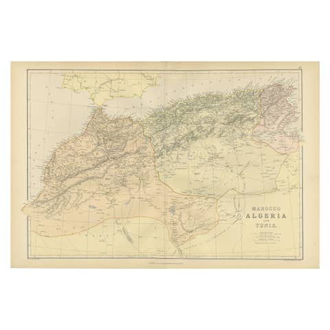
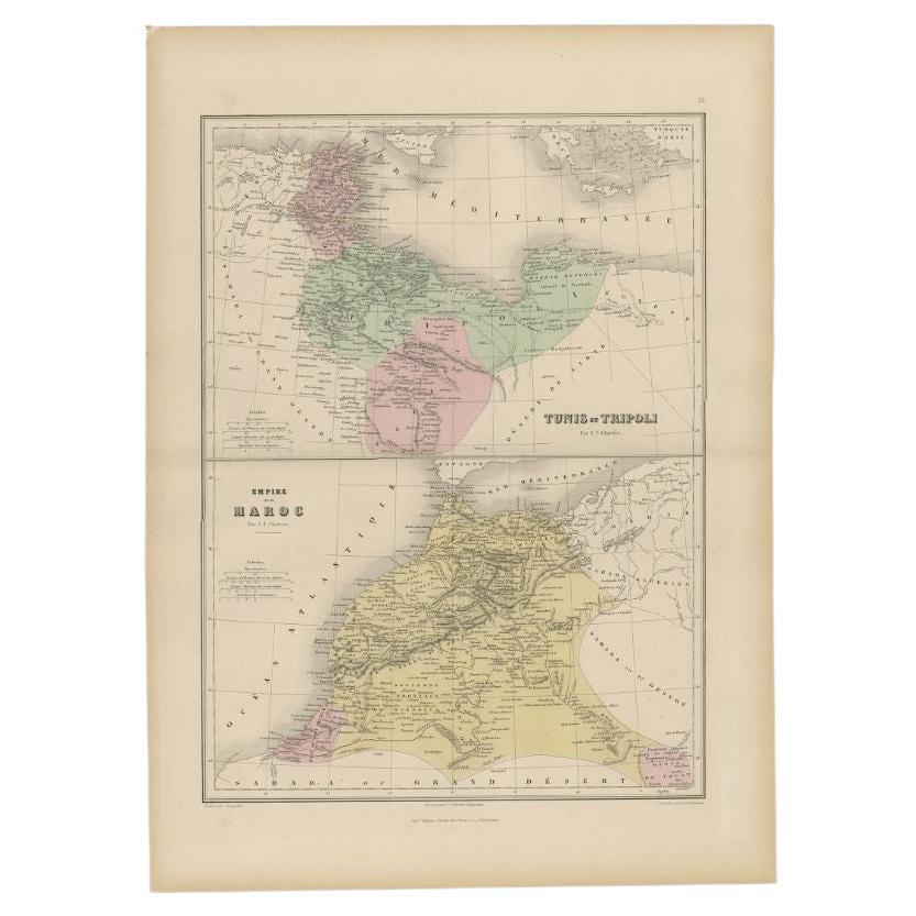
Antique Map of Tunis and Tripoli in Northern Africa, circa 1880

€ 160

Original antique · The actual sheet photographed · Certificate of authenticity on request · Sold unframed · Worldwide shipping from € 15 (rates)

Date
1880
Mapmaker / artist
J. Migeon
Sheet size
47.5 × 34.5 cm (18.7 × 13.6 in)
Condition
Good
Reference
BG-11793-38

Condition

Age-related toning. Please review the images for further condition details.
About this sheet

Antique map titled 'Tunis et Tripoli & Empire de Maroc'. Old map of Tunis and Tripoli and the Empire of Morocco. This map originates from 'Géographie Universelle Atlas-Migeon' by J. Migeon.
Artists and Engravers: Published by J. Migeon. Reviewed by A. Vuillemin. Alexandre Vuillemin (1812-1880) was a cartographer and a book editor based in Paris, France.

Condition: Good, age-related toning. Please study image carefully.

More from Africa

Ask about this sheet

Antique Map of Tunis and Tripoli in Northern Africa, circa 1880
1880 · Ref. BG-11793-38 · € 160
We reply by email, usually within one working day.