About this sheet
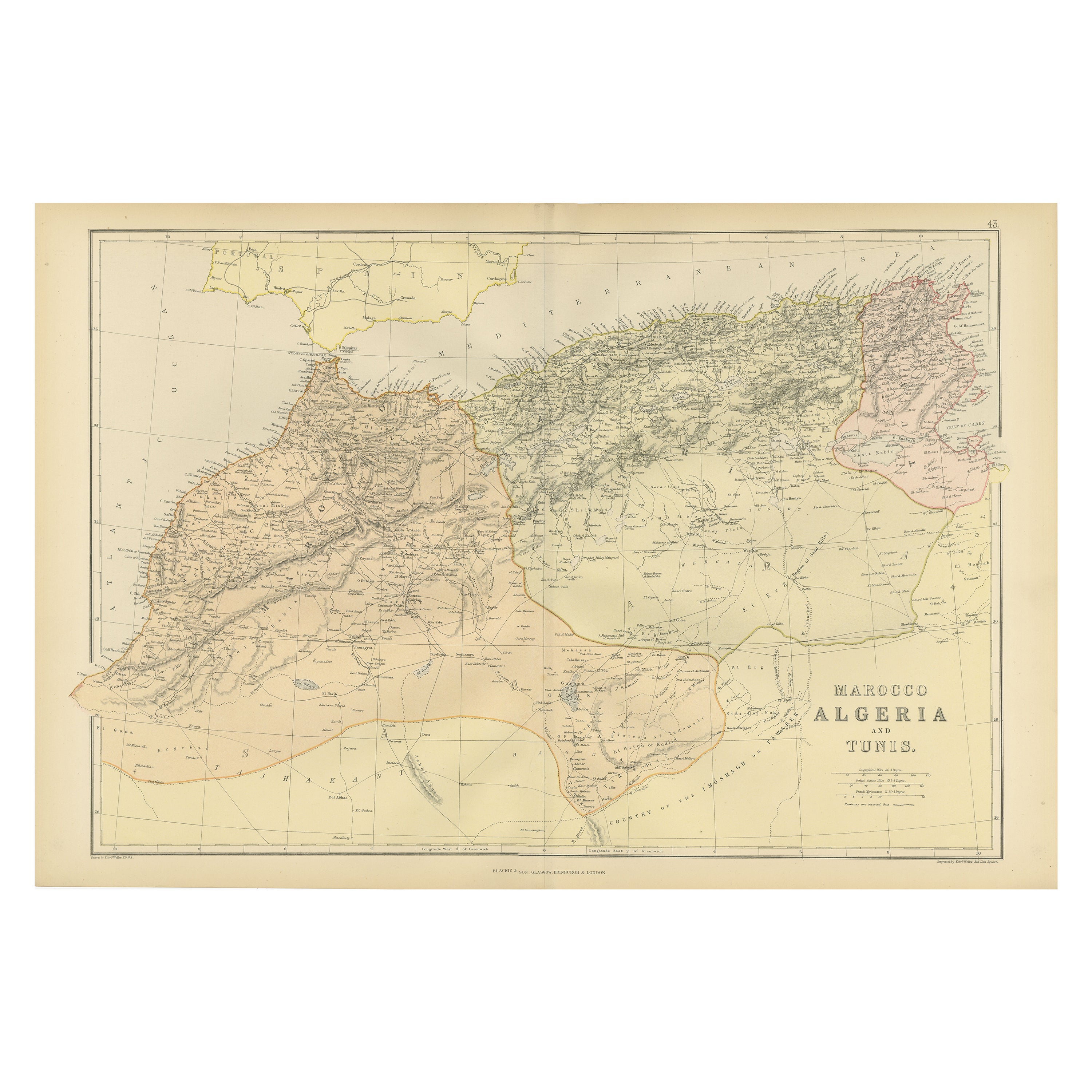
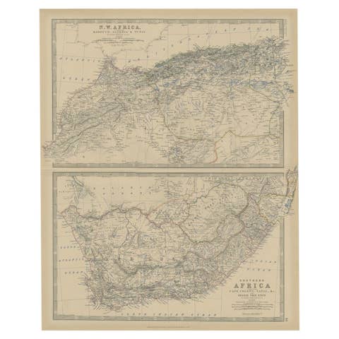
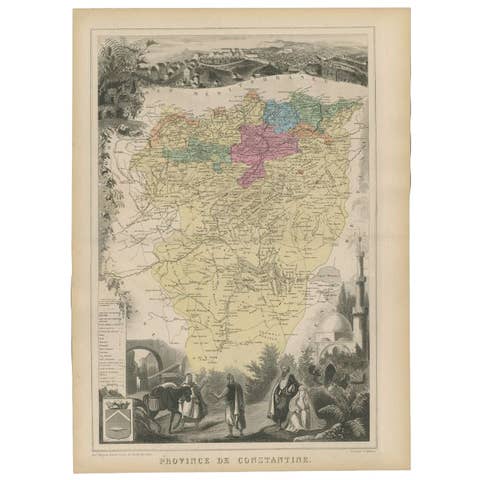
The maps is from the 1882 atlas by Blackie & Son and offers a detailed view of the North African regions as understood in the late 19th century.
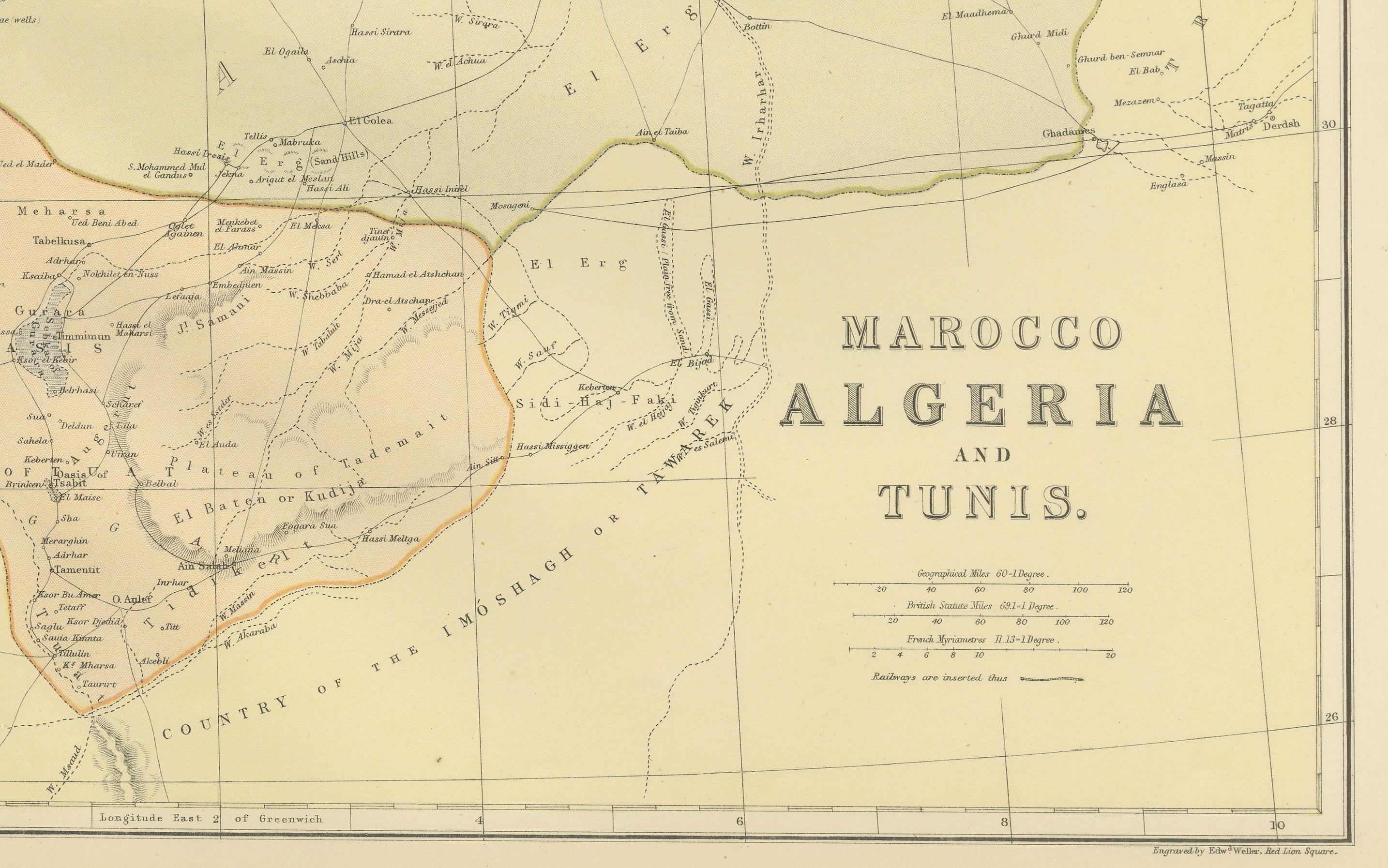

Map of Morocco, Algeria, and Tunis:
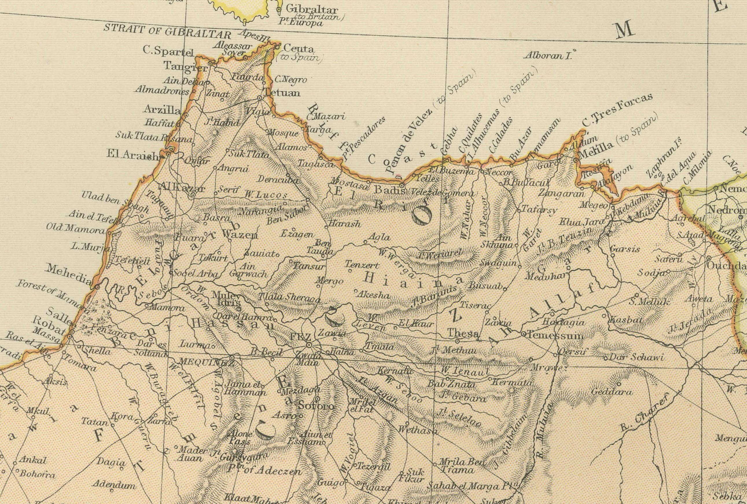
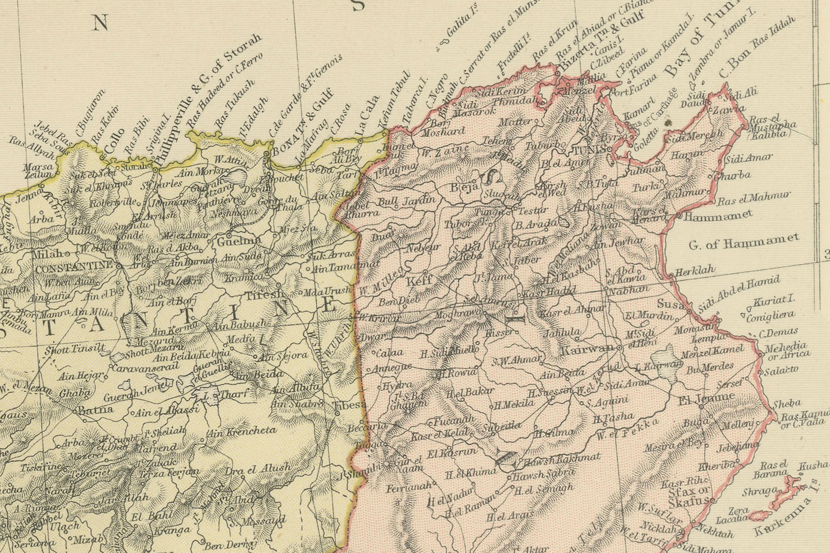
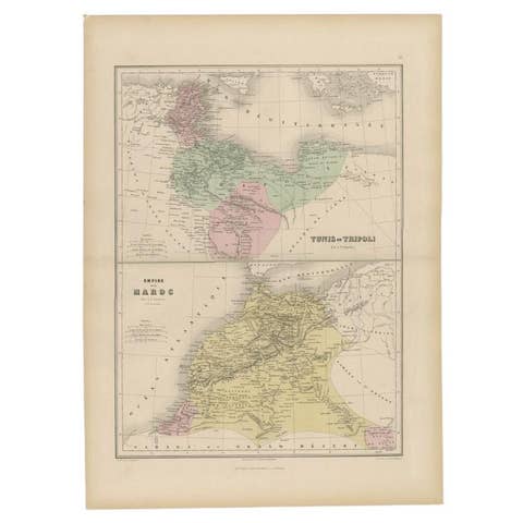
This map details the North African coast from Morocco to Tunisia, showing major cities, towns, and geographical features such as the Sahara Desert, the Atlas Mountains, and the Mediterranean coast. The map is colored to distinguish between the three regions, which were of strategic interest to colonial powers.
The maps would have been used for educational purposes, as well as by explorers, merchants, and colonial administrators of the era. They reflect the Victorian era's cartographic capabilities, as well as the geopolitical interests of the time. The maps are a fascinating historical record, showing how these regions were perceived and understood by Western cartographers in the 19th century.
The map of Morocco, Algeria, and Tunis from the 1882 atlas by Blackie & Son is interesting for several reasons:
1. **Historical Context**: During the 1880s, European powers were heavily involved in the colonization of Africa. This map offers a snapshot of the geopolitical landscape of the time, just before the 'Scramble for Africa' intensified. The region it covers was of significant interest to colonial powers, particularly France, which had a strong presence in Algeria and would soon establish protectorates in Tunisia and Morocco.
2. **Cartographic Detail**: The map provides detailed geographic information of the region. It features the intricate details of the coastal lines, the rugged terrain of the Atlas Mountains, and the vast expanse of the Sahara Desert. Such detail would have been critical for navigation, trade, and military expeditions.
3. **Cultural Significance**: Maps like this one represent the knowledge and perspective of the European cartographers who created them. Place names are often anglicized or written in French, reflecting the influence of European languages and cultures in the region.
4. **Artistic Representation**: The use of color, shading, and detailed geographic representations are not just practical but also artistic. The aesthetic quality of such maps makes them valuable for historical and visual studies.
5. **Navigational Aid**: For ships navigating the Mediterranean Sea, the map would have been an essential tool. It shows important ports and cities along the coast, which would have been stops for trade and refueling.
6. **Comparative Analysis**: When viewed alongside modern maps, it allows us to see how borders, place names, and political realities have changed over time, providing a comparative historical perspective.
In summary, the map of Morocco, Algeria, and Tunis is a rich historical document, offering insights into the colonial mindset, the state of geographical knowledge at the time, and the natural and political landscape of North Africa as it stood in the late 19th century.