About this sheet
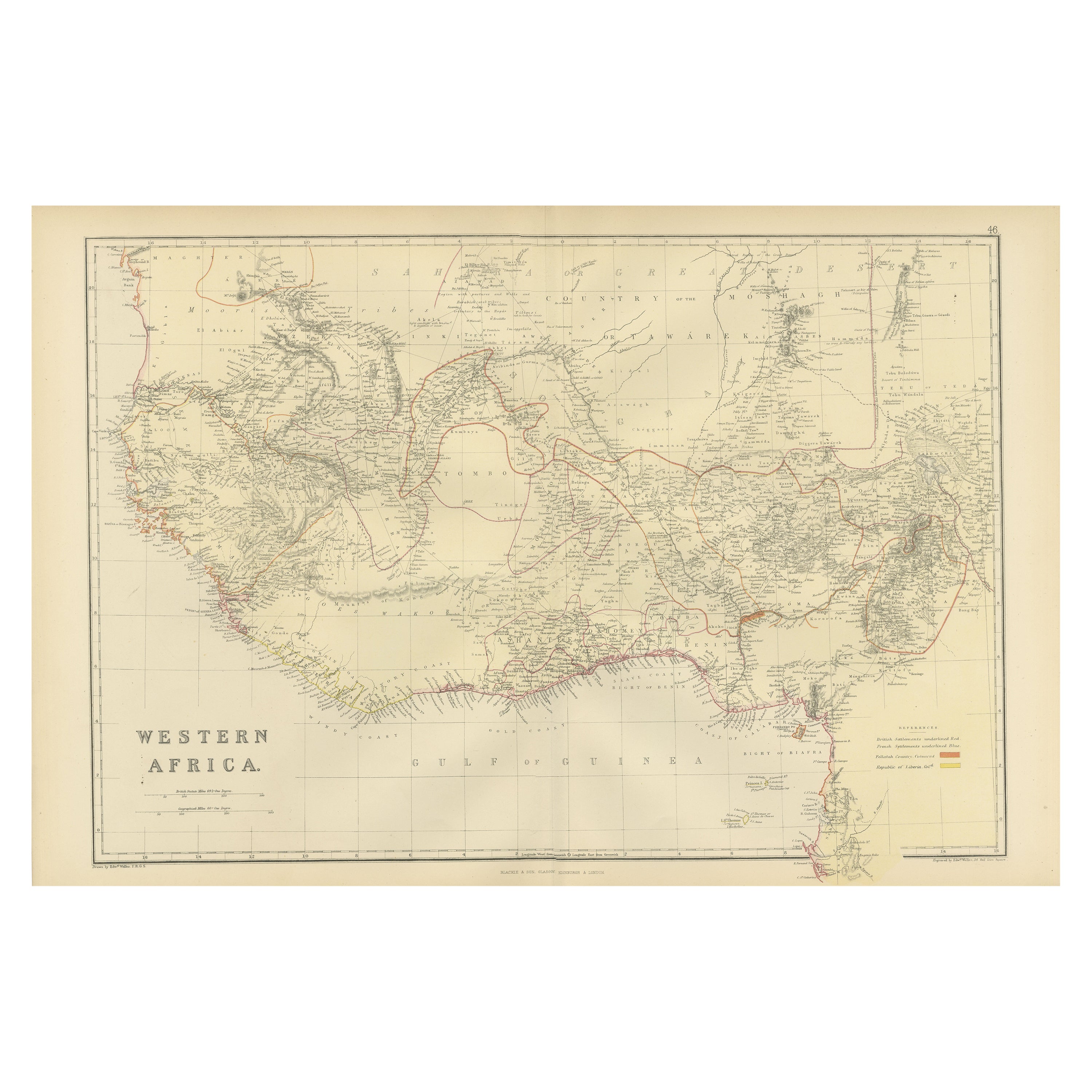
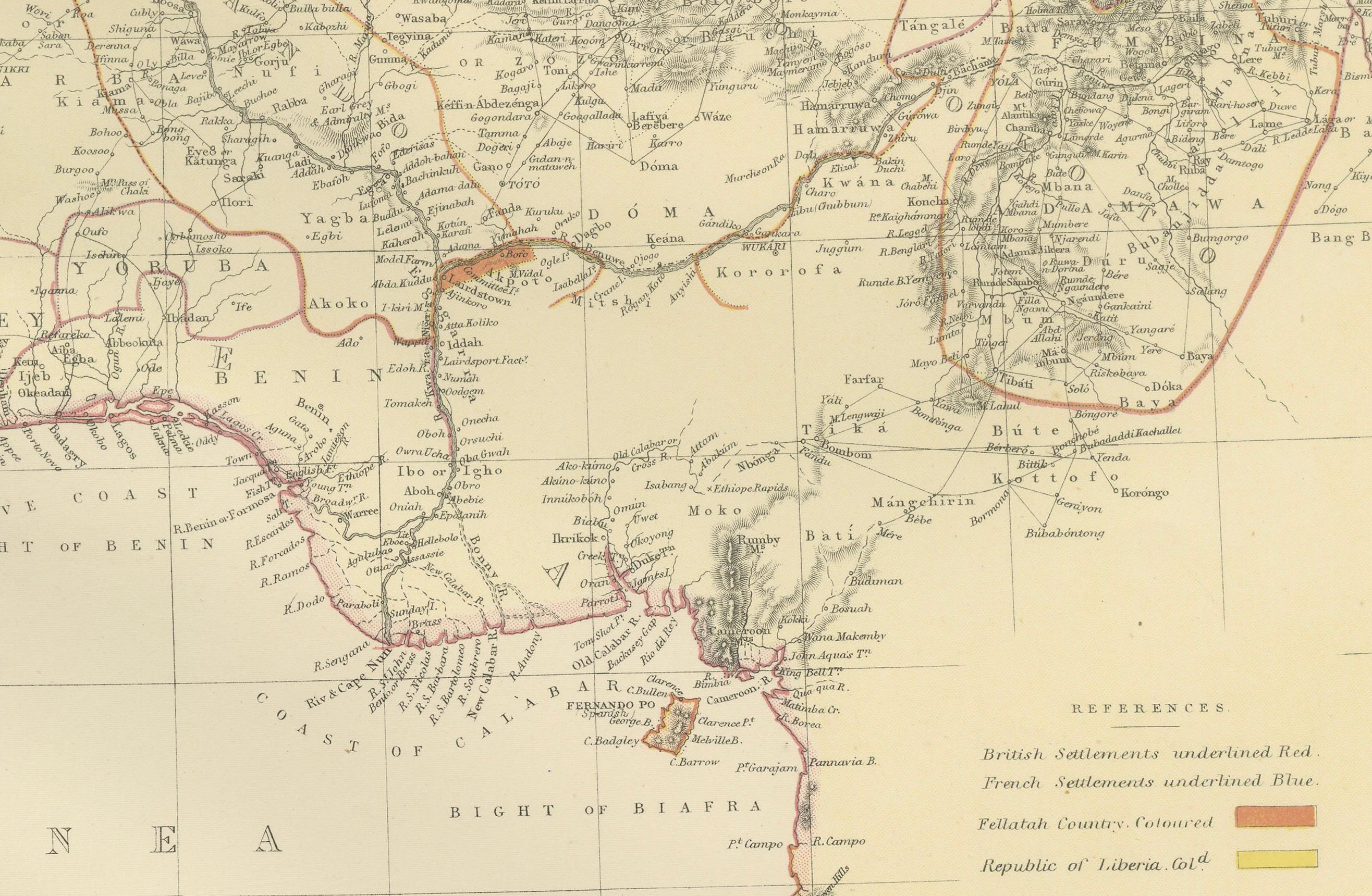
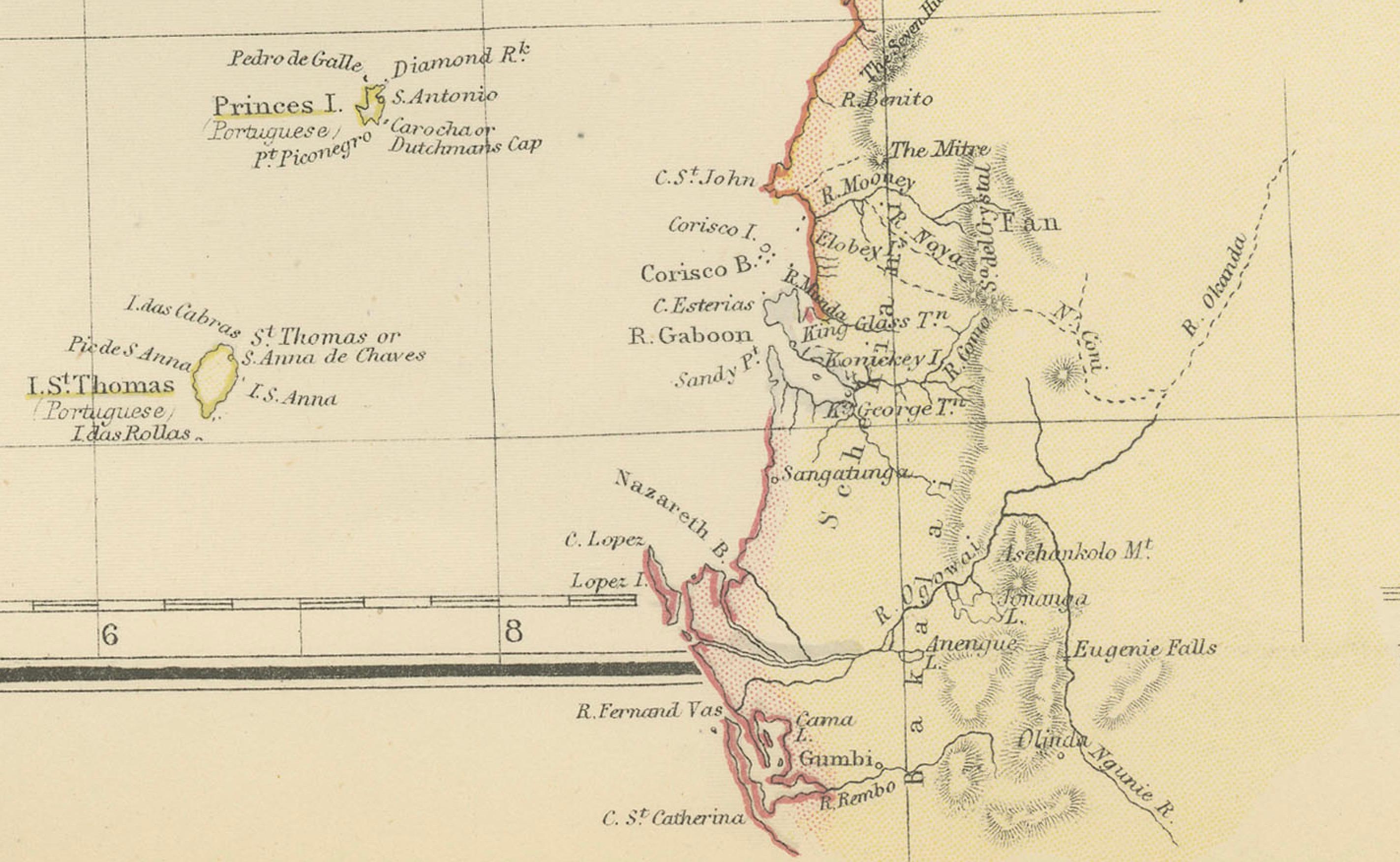
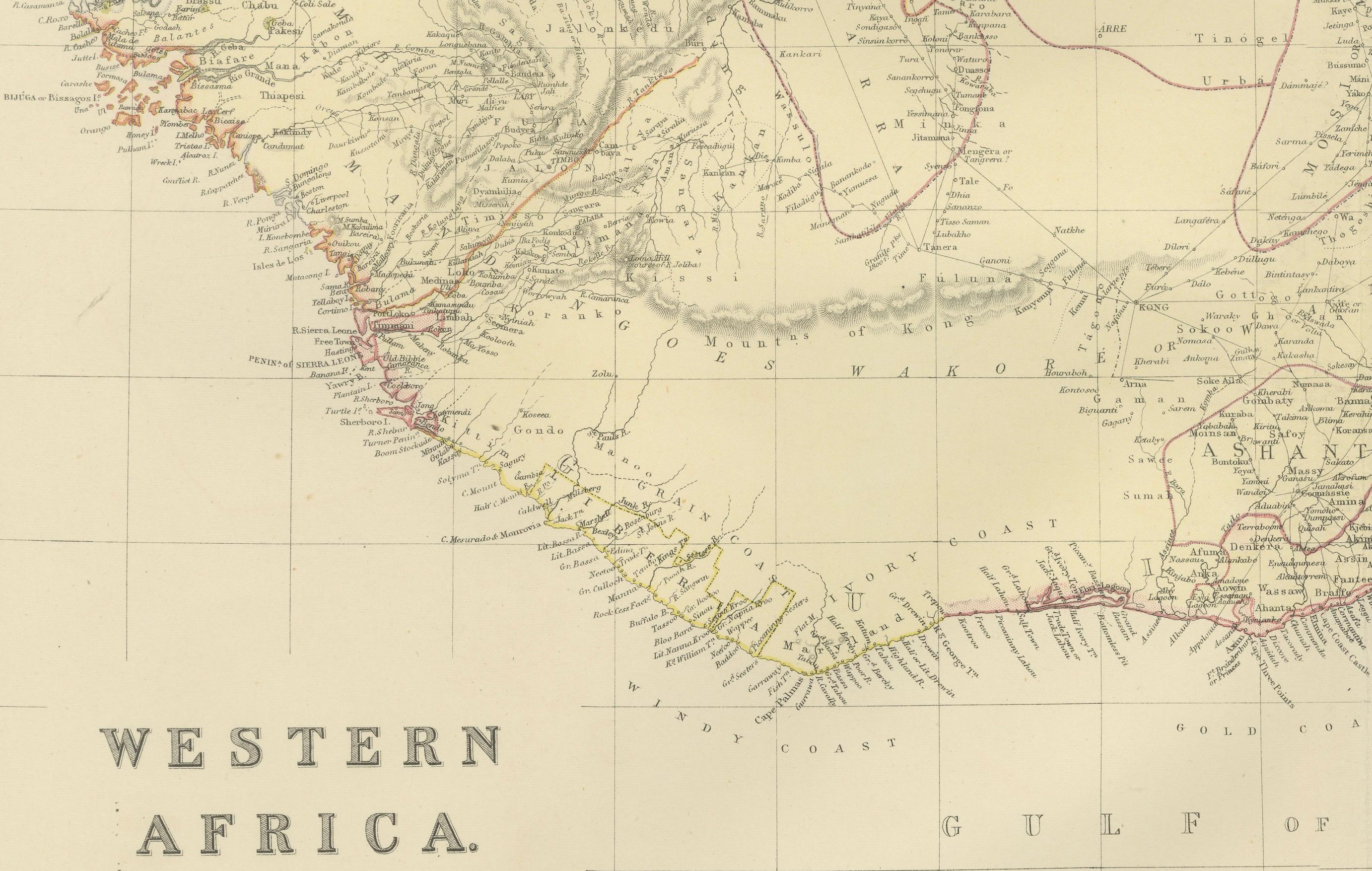
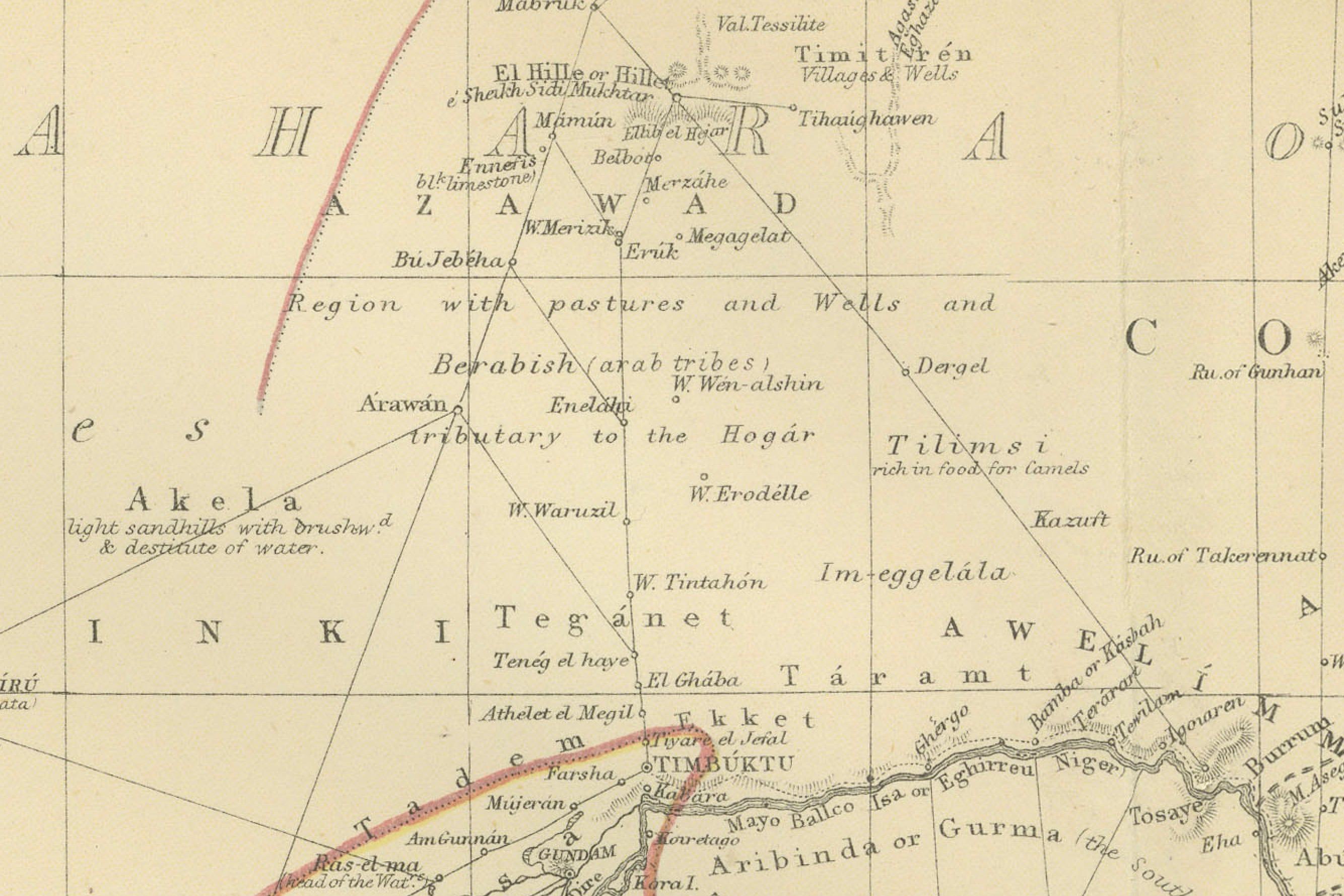
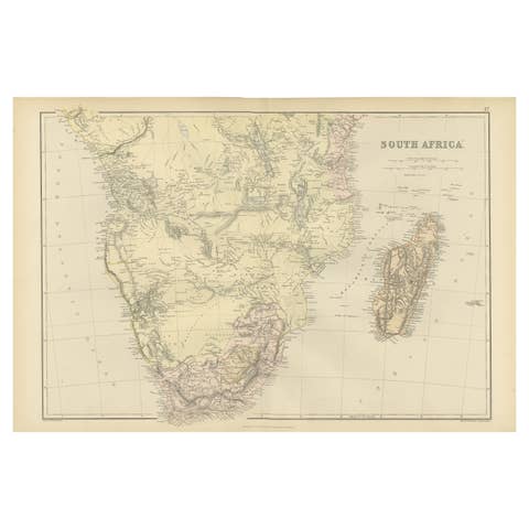
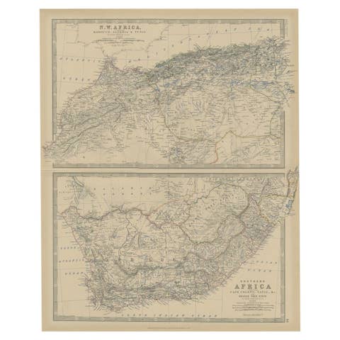
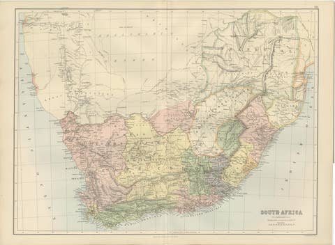
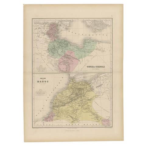
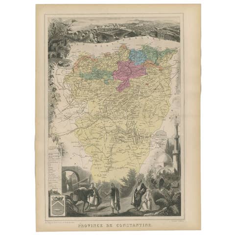
This is a map of Western Africa from the 1882 Blackie & Son atlas. The map details the West African coast from the Sahara Desert in the north down to the Gulf of Guinea, including a large section of inland territory.
What makes this map particularly interesting are several aspects:
1. **Pre-colonial Detail**: The map shows the region just before the "Scramble for Africa" where European countries partitioned the continent amongst themselves. It would thus feature political entities that no longer exist, as well as borders that would have been redrawn after the Berlin Conference of 1884-85.
2. **Color Coding**: There appears to be color coding, likely indicating different territories, spheres of influence, or colonial possessions. These colors can tell us about the extent of colonial control and influence at the time.
3. **Topographical Features**: The map includes detailed topographical information, such as mountain ranges, rivers, and the outlines of the coastal areas, which were crucial for navigation and exploration.
4. **Trade and Exploration**: The map might indicate key ports, trade routes, and areas of economic interest at the time. The names of certain regions and landmarks could also reflect European explorers' routes and discoveries.
5. **Cultural and Historical Information**: Place names on the map would have been given by the local inhabitants or by European explorers. This map could therefore serve as a record of the cultural interactions between Africa and Europe at the time.
6. **Transportation Networks**: Any depicted railroads or caravan routes would show the infrastructure in place at the time for the movement of goods and people.
7. **Navigation and Longitude**: The presence of lines of longitude and latitude reflects the navigational and surveying techniques of the time and shows the importance of maritime travel to the European powers.
8. **Annotations**: If there are notes or annotations, these can provide context about the political situation, notes about the exploration, or details about the indigenous peoples of the region.
Maps such as this one from the Blackie & Son atlas are invaluable for understanding the historical geography of regions and can be a rich resource for historians and enthusiasts alike.