About this sheet
Aegyptus Antiqua — Ancient Egypt Classical Map of the Nile, Wilkinson 1823
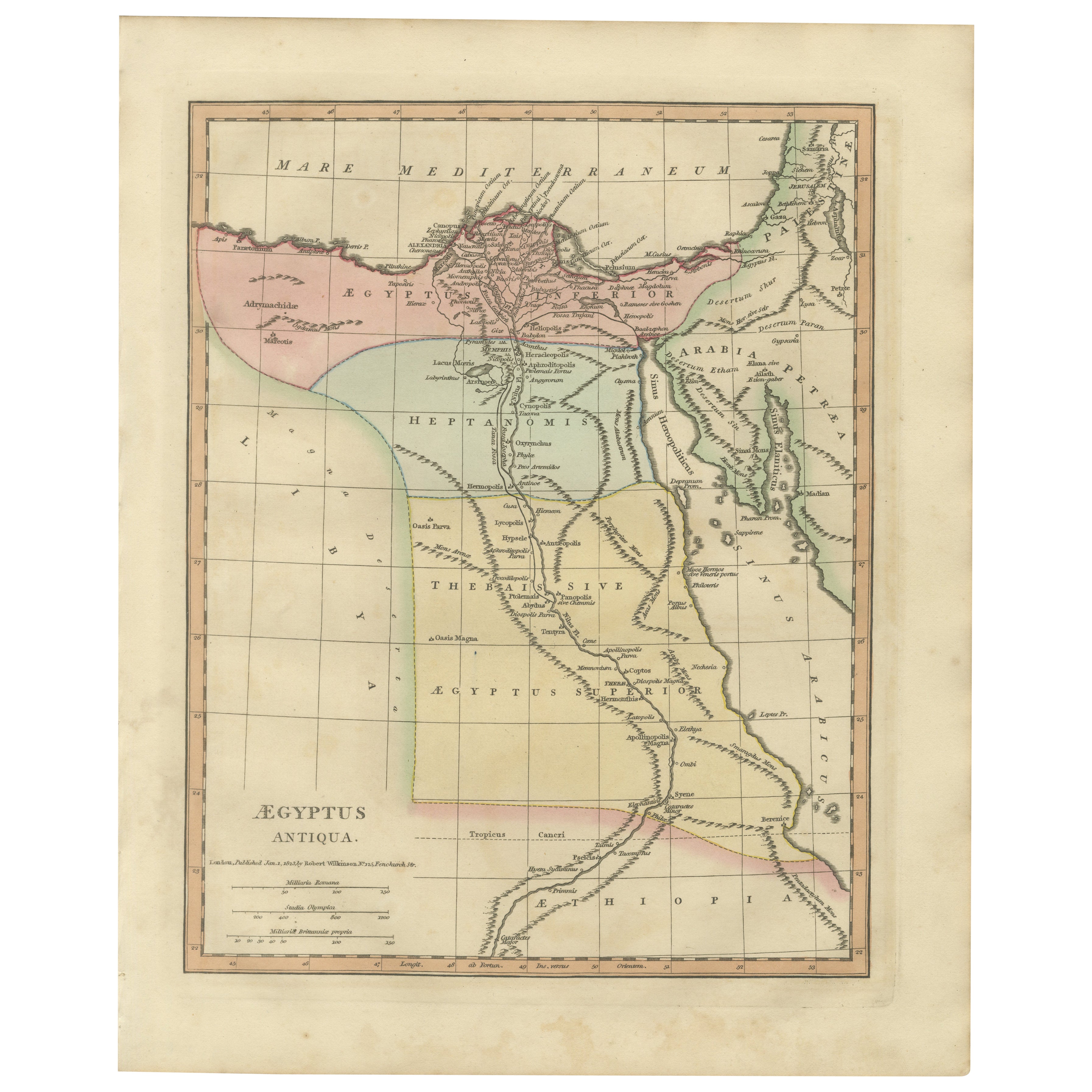
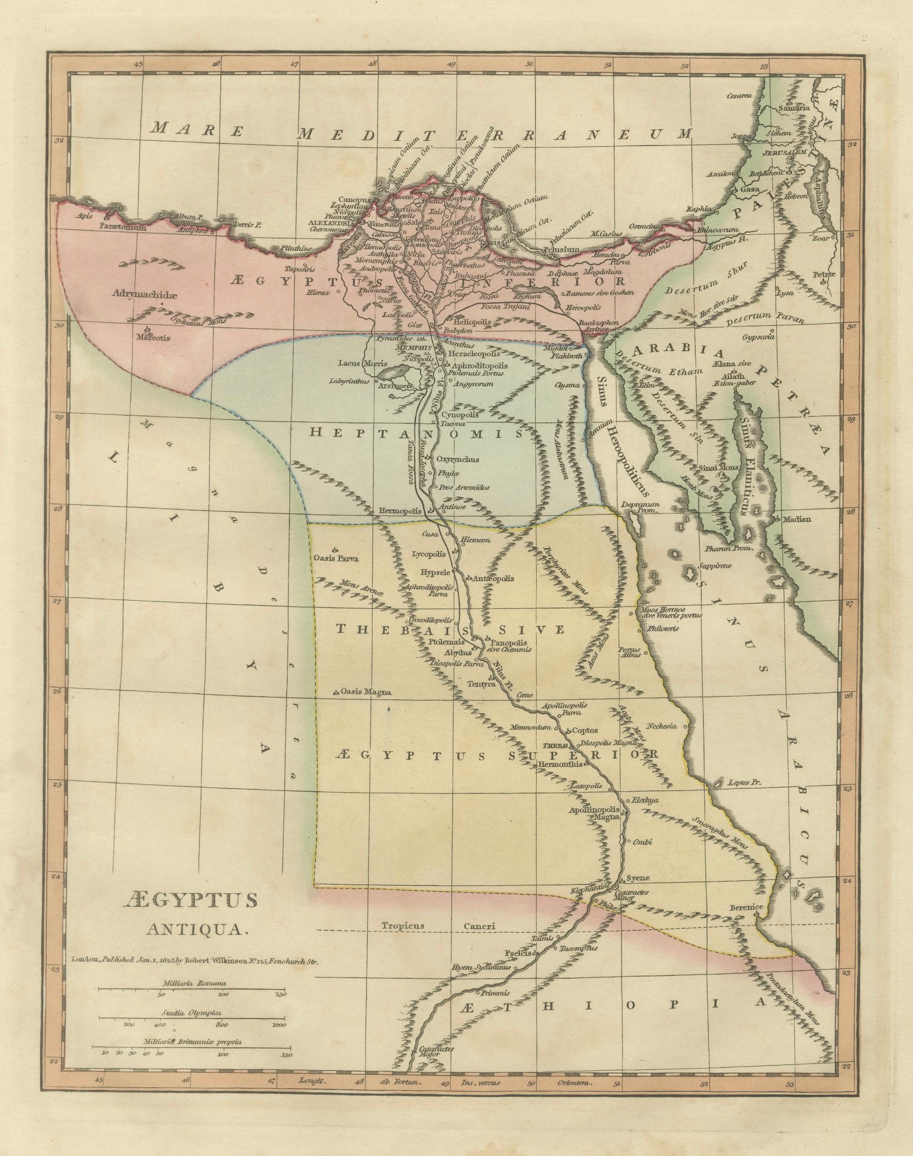
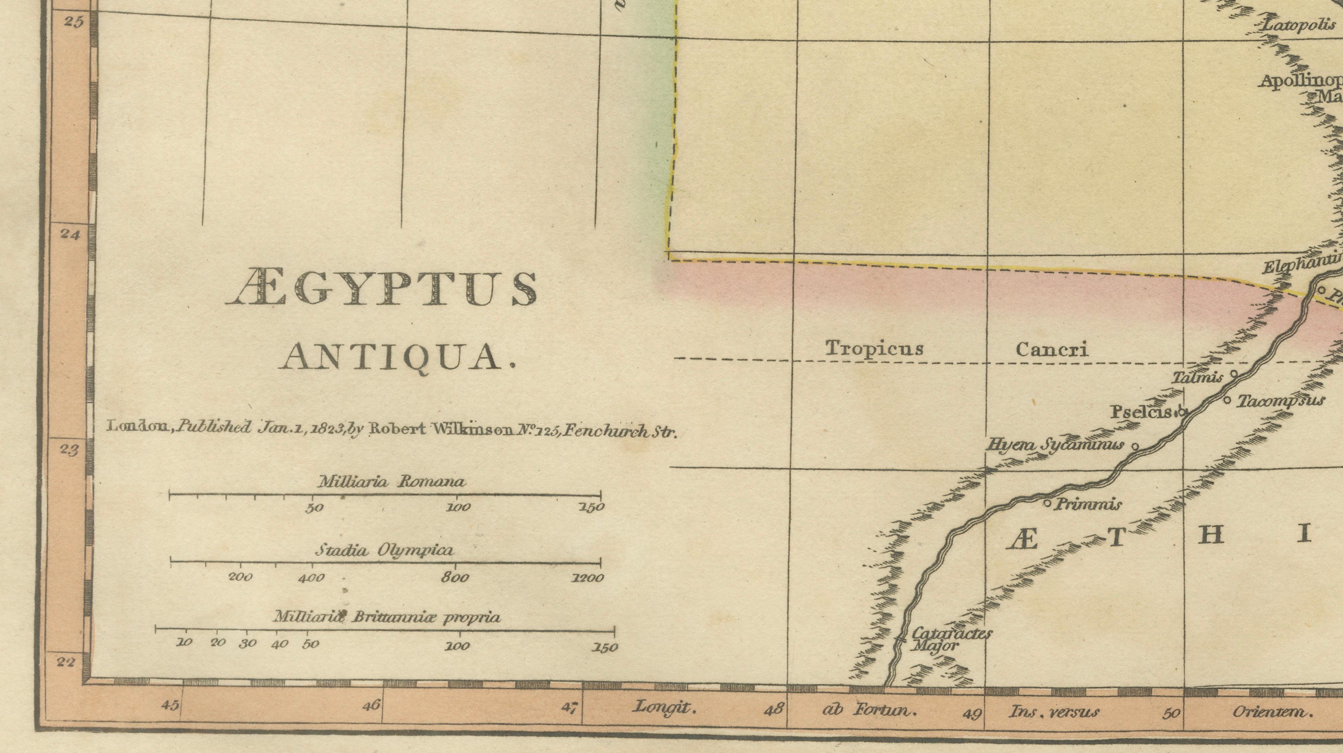
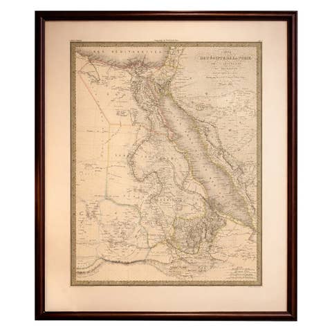
This finely engraved and delicately hand-colored antique map titled Aegyptus Antiqua depicts ancient Egypt as understood through classical sources and was published in London in 1827 by Wilkinson as part of the Atlas Classica. Created during a period of renewed European fascination with antiquity and biblical geography, the map presents a scholarly reconstruction of Egypt’s ancient landscape, emphasizing the Nile River and the cultural regions that shaped classical and biblical history.
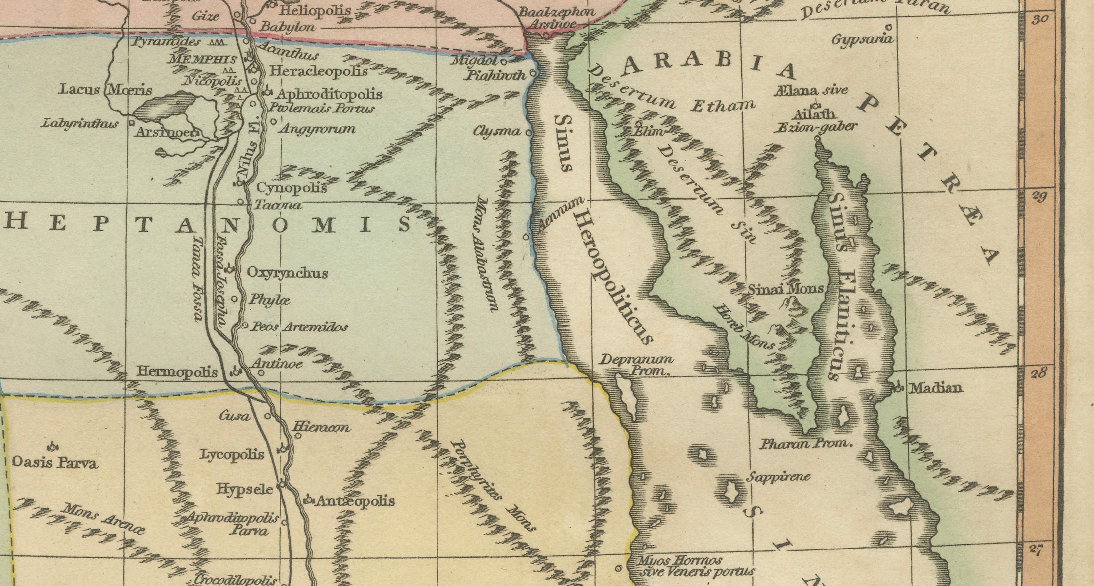
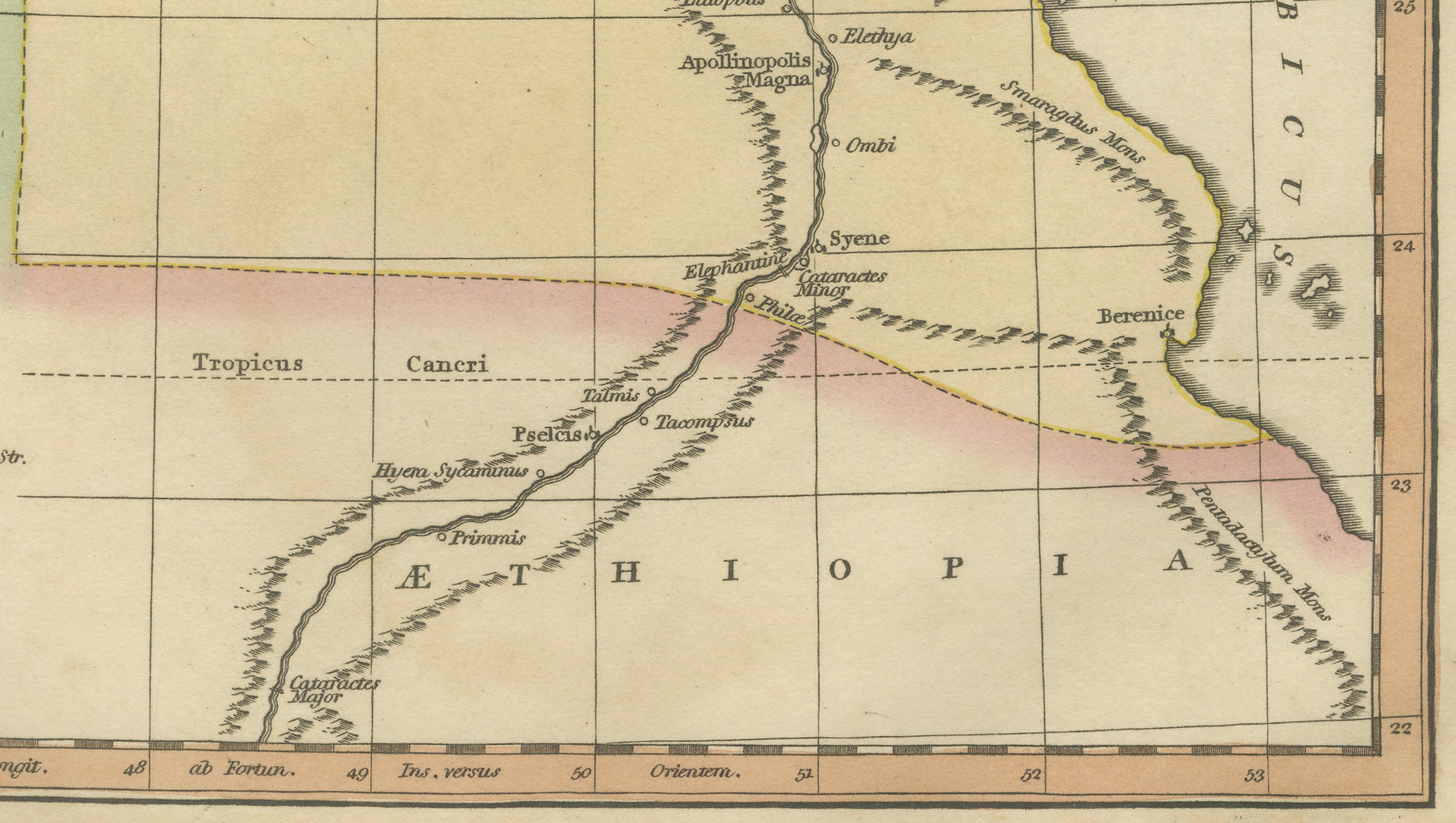
The composition traces the course of the Nile from the Mediterranean delta through Upper Egypt and into Nubia and Ethiopia, illustrating ancient settlements, geographic divisions, and classical place names. Alexandria, Memphis, Thebes, Syene, and numerous lesser-known sites appear alongside deserts, mountain ranges, and ancient provincial boundaries. The Mediterranean coastline, the Red Sea littoral, and adjacent Arabian territories provide broader geographic context, reinforcing Egypt’s role as a crossroads between Africa, Asia, and the classical Mediterranean world.
Executed in refined copperplate engraving, the map displays precise linework and elegant typography characteristic of early nineteenth-century London atlas production. Subtle original hand coloring distinguishes regions and enhances legibility without overwhelming the restrained academic aesthetic. Wilkinson’s Atlas Classica aimed to visually connect classical learning with geography, making such maps both educational instruments and decorative works suitable for display.
Maps of ancient Egypt hold enduring appeal for collectors due to their intersection of classical scholarship, biblical narrative, and early archaeological interest. This example integrates seamlessly with other plates from the same series, including classical world maps, patriarchate maps, and biblical chronology charts, making it especially desirable within a curated thematic set.
The vertical format lends itself well to framing and offers a refined presence in library, study, or gallery interiors.
Condition report: Good condition for age. Light age toning and occasional minor foxing typical of early nineteenth-century paper. Marginal wear consistent with atlas extraction. Original hand color remains clear and attractive.
Framing tips: A dark walnut or ebonized frame combined with a generous ivory or warm-neutral mat enhances the pastel coloring and creates a museum-quality presentation aligned with classical interiors.
Technique: Copperplate engraving with original hand color
Maker: Wilkinson, London, 1827
Keyword block (important places and themes visible on the map):
Aegyptus Antiqua, ancient Egypt map, Nile River map, Alexandria, Memphis, Thebes, Syene, Nubia, Ethiopia, Red Sea, Arabian Desert, Mediterranean Sea, classical geography, Roman Egypt, Greek antiquity, biblical geography Egypt, Atlas Classica, ancient Nile valley, historical cartography, classical antiquity map, early Egyptology, historical Nile cartography.