About this sheet
The Dominions of Solomon — Biblical Map of the Ancient Near East and Egypt, London 1827
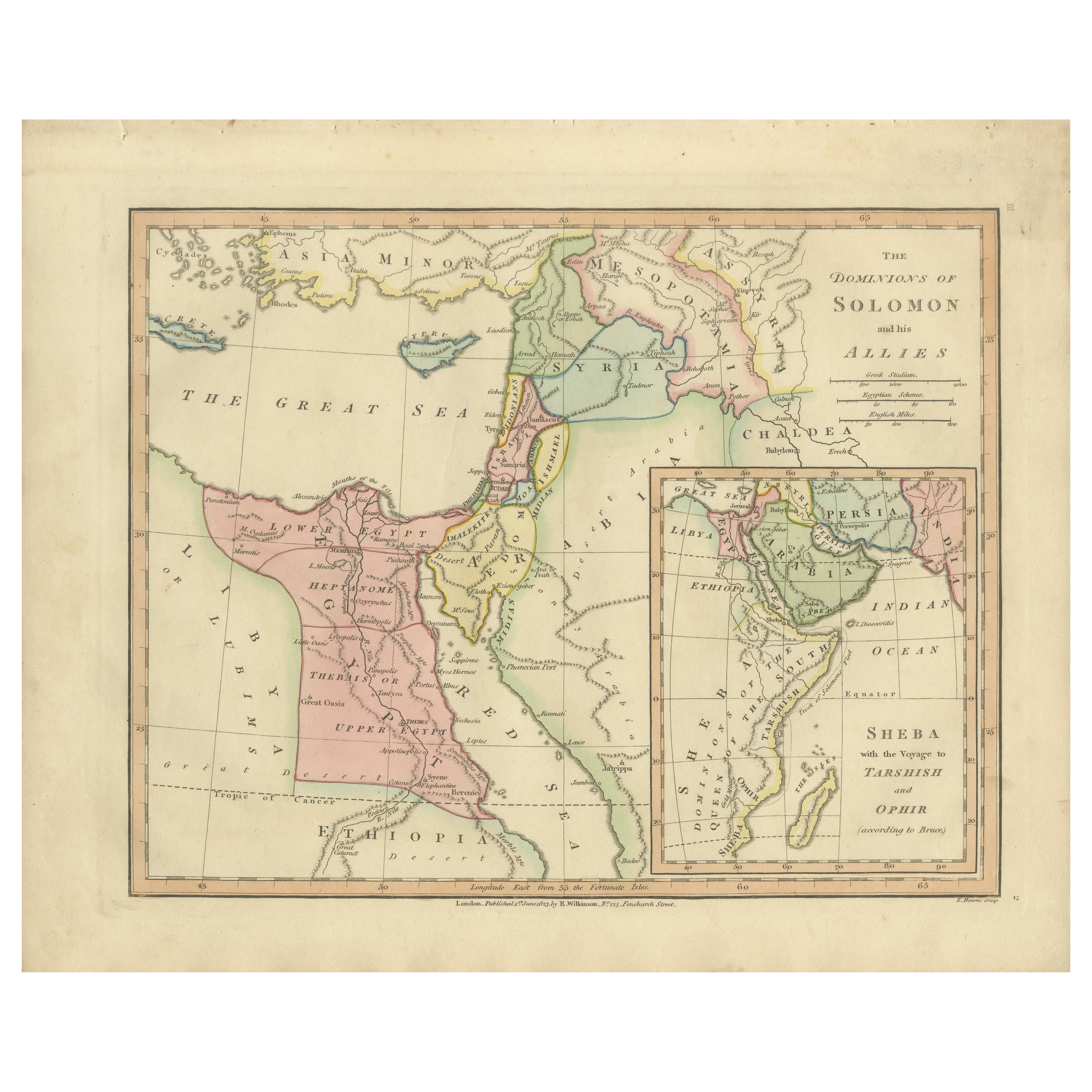
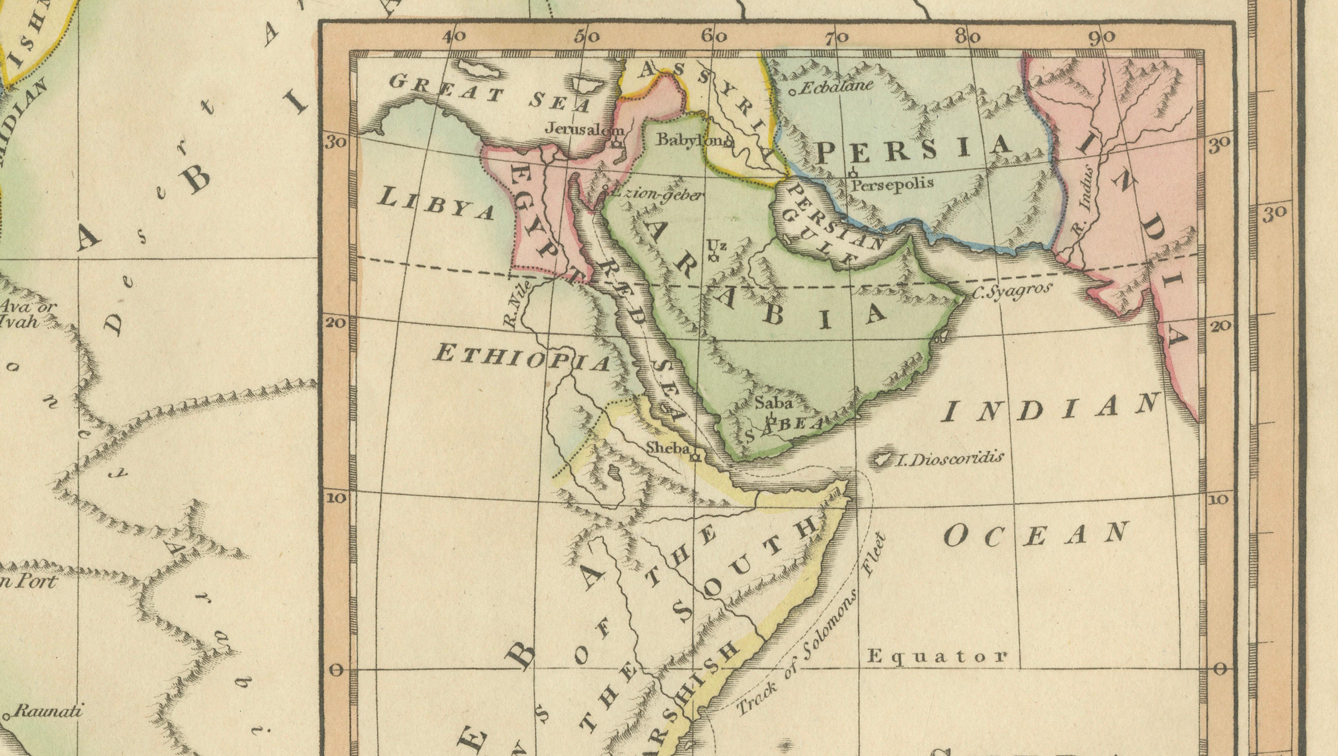
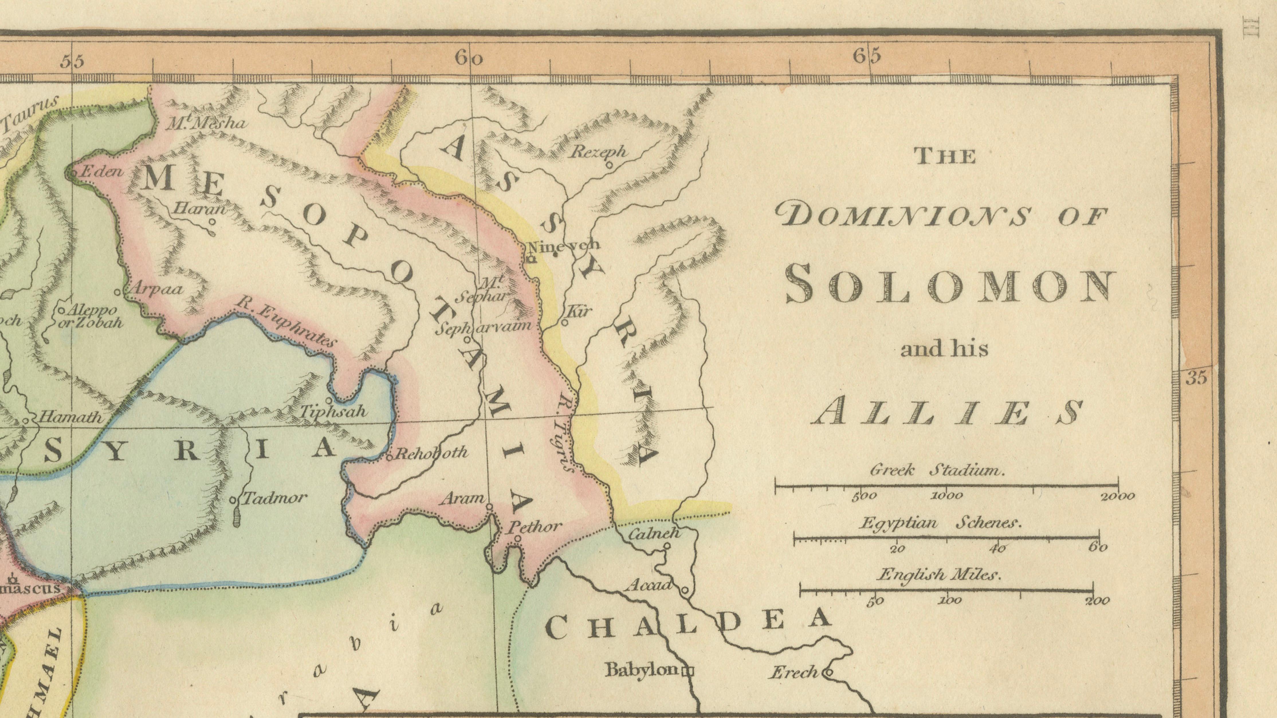
This finely engraved and delicately hand-colored biblical map titled “The Dominions of Solomon and his Allies” was published in London in 1827 as part of Wilkinson’s Atlas Classica, a scholarly atlas devoted to sacred and classical geography. The map illustrates the geographic extent traditionally associated with King Solomon’s reign, presenting a visual interpretation of biblical territories and political alliances during one of the most significant periods of ancient Israelite history.
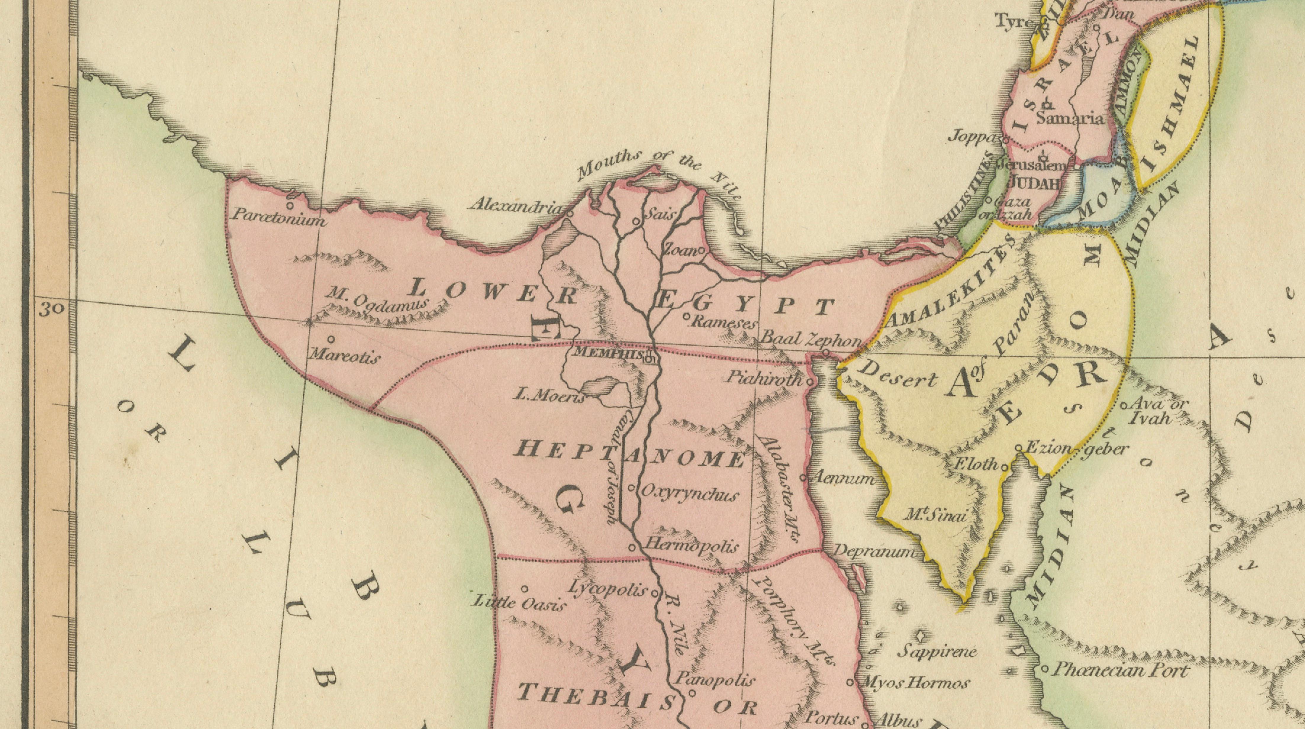
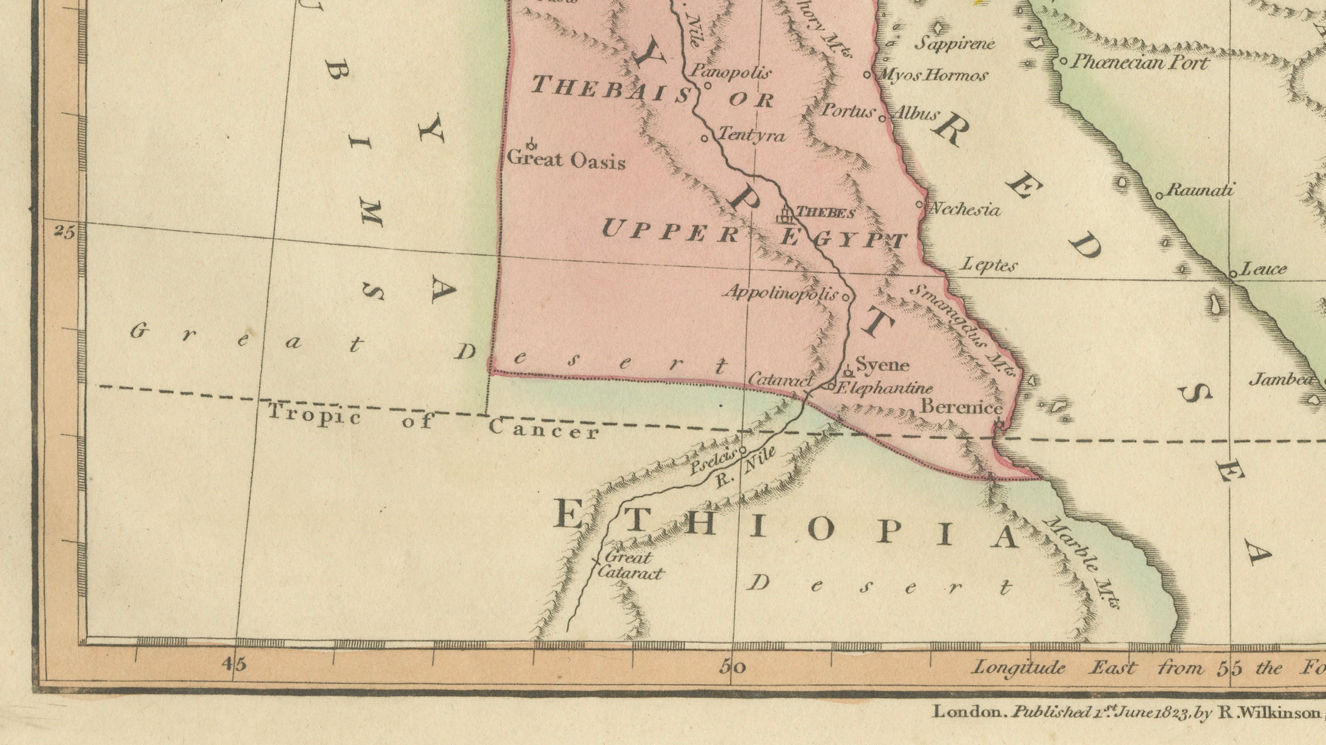
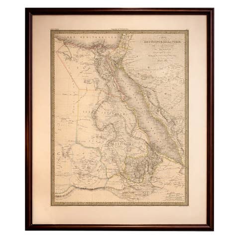
The composition spans a broad region of the eastern Mediterranean and Near East, extending from Egypt and Ethiopia through the Levant into Mesopotamia and surrounding territories. The Holy Land occupies a central position, while surrounding regions such as Syria, Arabia, Chaldea, and Persia provide context for the international connections described in biblical narratives. Soft original hand coloring distinguishes political and geographic divisions, allowing viewers to understand the relationships between regions associated with trade, diplomacy, and religious history.
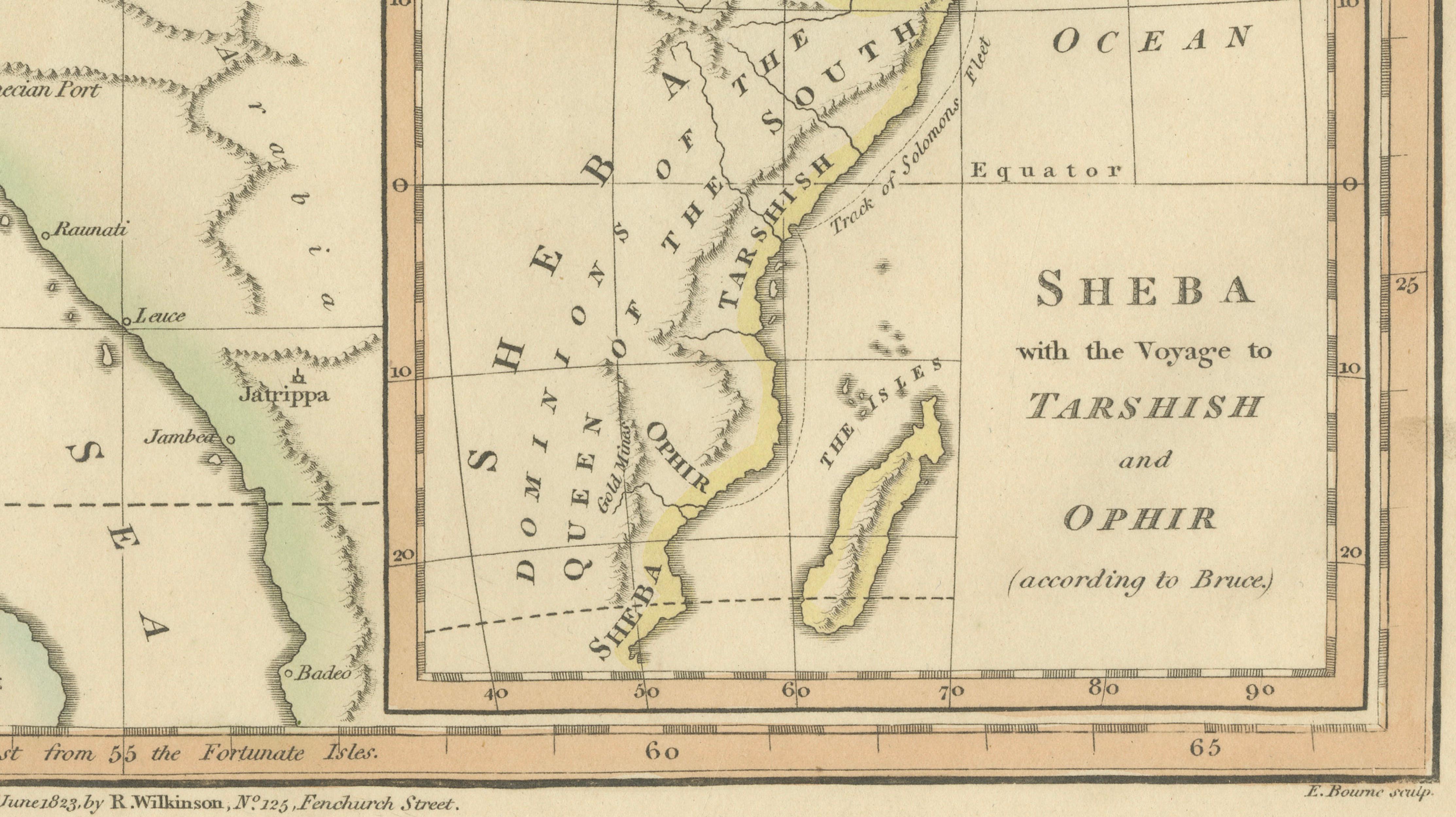
A detailed inset map depicts the legendary lands of Sheba and the voyage to Tarshish and Ophir, reflecting nineteenth-century scholarly interpretations of biblical trade routes and ancient exploration. These additional elements highlight the historical fascination with Solomon’s wealth, maritime ventures, and cross-cultural connections.
Executed in refined copperplate engraving typical of early nineteenth-century London atlas production, the map combines clarity, elegant typography, and balanced composition. The restrained decorative approach emphasizes readability and educational value while maintaining strong visual appeal. Sacred geography maps such as this were intended as both scholarly tools and devotional aids, bridging scriptural narrative with geographic understanding.
Today, maps illustrating specific biblical eras are particularly sought after for their narrative focus and historical depth. The harmonious pastel palette and expansive geographic scope make this an ideal statement piece for collectors of Holy Land material, biblical history enthusiasts, or interior designers seeking intellectually engaging decorative works.
The horizontal format lends itself beautifully to framing, whether as a standalone artwork or paired with related biblical maps from the same atlas series.
Condition report: Very good overall condition for age. Light age toning and minor foxing consistent with early nineteenth-century paper. Marginal wear from atlas removal. Original hand color remains fresh and attractive.
Framing tips: A dark walnut or warm brown frame paired with a generous ivory or off-white mat enhances the pastel coloring and creates a refined museum-quality presentation suitable for classic or contemporary interiors.
Technique: Copperplate engraving with original hand color
Maker: Wilkinson, London, 1827
Keyword block (important places and regions visible on the map):
Dominions of Solomon, Holy Land, Israelite Kingdom, Jerusalem, Judea, Samaria, Galilee, Levant, Mediterranean Sea, Great Sea, Cyprus, Crete, Asia Minor, Anatolia, Syria, Damascus, Lebanon, Tyre, Sidon, Phoenicia, Arabia, Arabian Desert, Midian, Sinai Peninsula, Red Sea, Gulf of Aqaba, Egypt, Nile River, Nile Delta, Lower Egypt, Upper Egypt, Thebes, Memphis, Ethiopia, Nubia, Libya, Persian Gulf, Mesopotamia, Chaldea, Babylon, Euphrates River, Tigris River, Assyria, Nineveh, Persia, Arabia Felix, Sheba, Tarshish, Ophir, Indian Ocean, Horn of Africa, Red Sea trade routes, ancient trade routes, biblical geography, sacred geography, Near East, ancient kingdoms, Levantine coast, Transjordan, Moab, Edom, Ammon, Philistia, Gaza, Ashkelon, Joppa, Mount Carmel, Mount Hermon, Jordan River, Dead Sea.