About this sheet
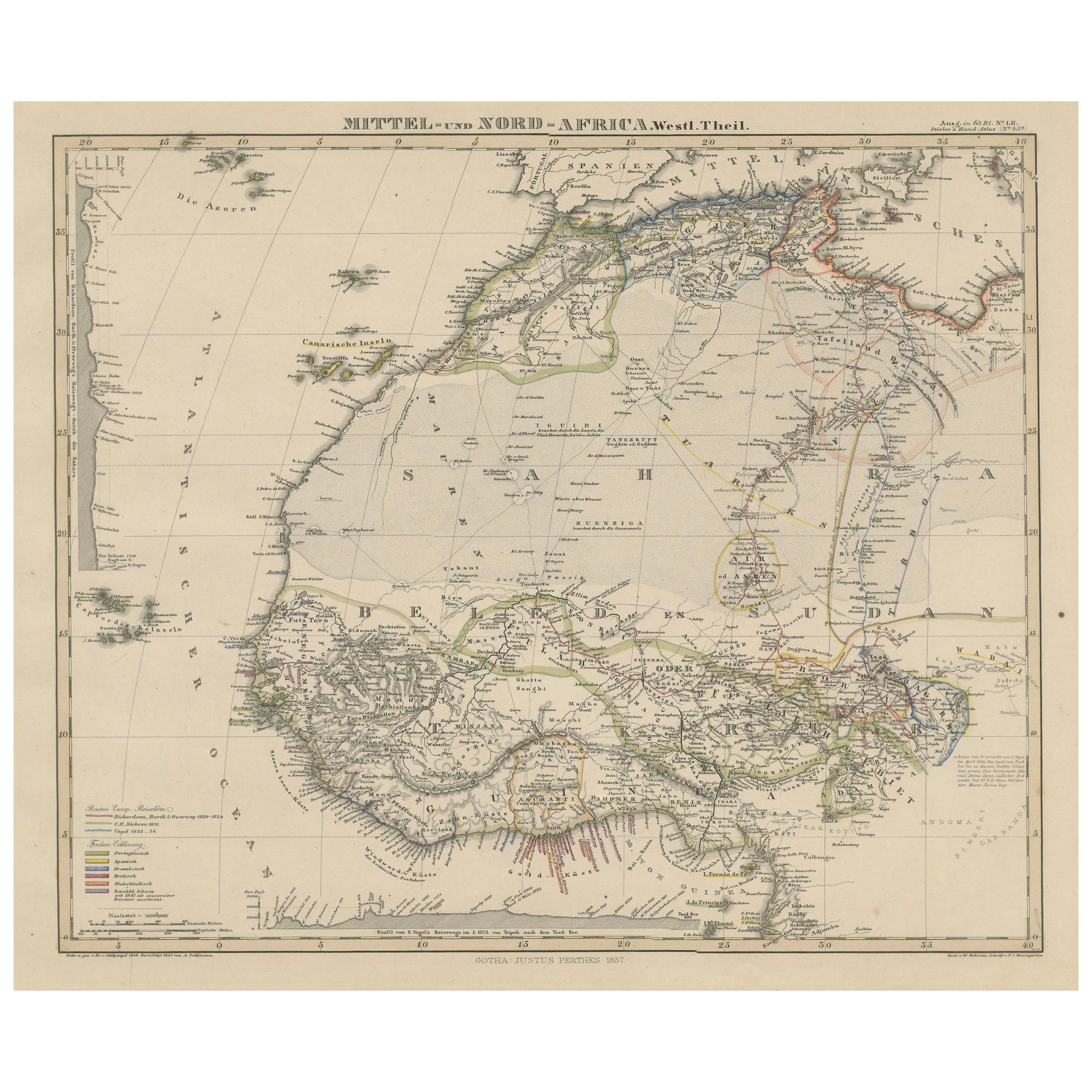
Antique Map of West and Central Africa – Stieler Atlas, Justus Perthes 1857
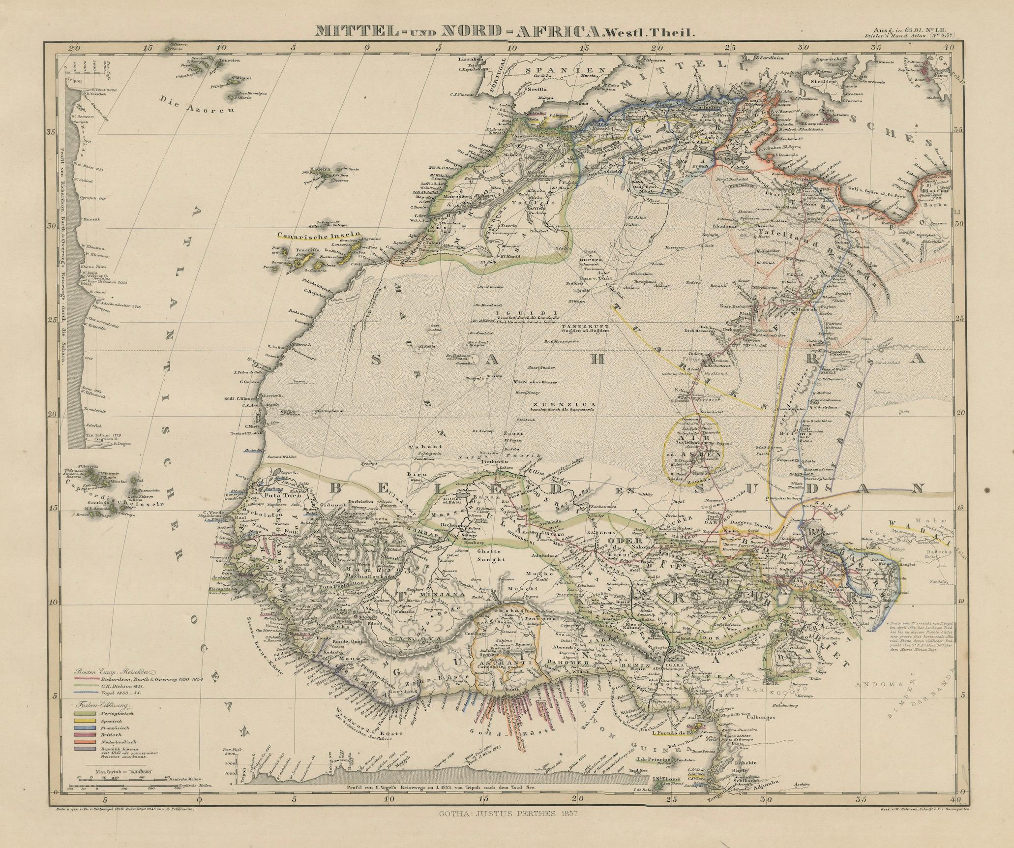
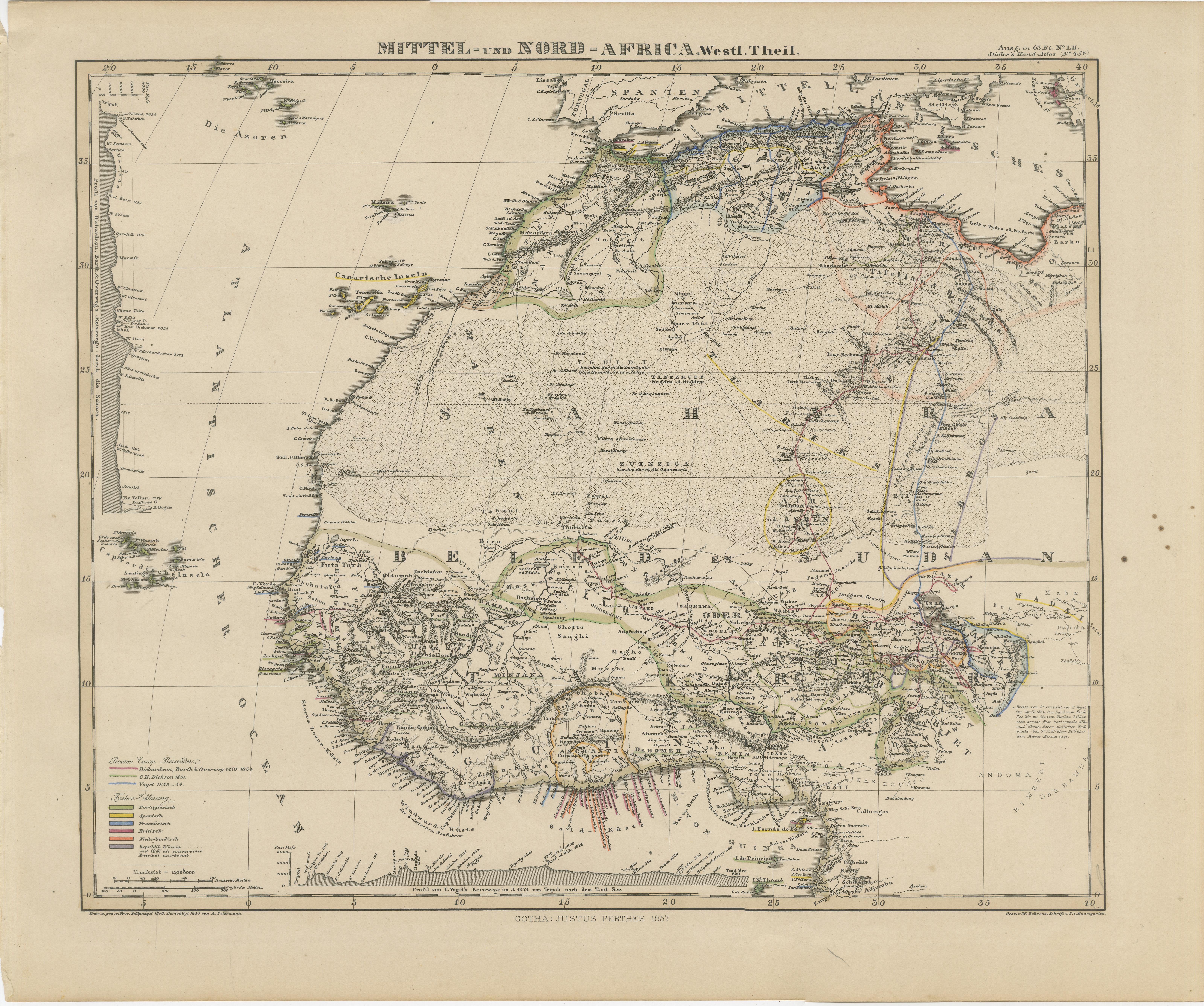
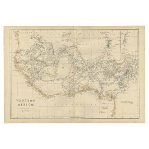
This finely engraved map titled "Mittel- und Nord-Africa. Westl. Theil." was published in 1857 by Justus Perthes in Gotha, Germany, for the renowned Stieler’s Hand-Atlas. It was created under the direction of F. von Stülpnagel, whose meticulous cartographic work helped define 19th-century geographic understanding.
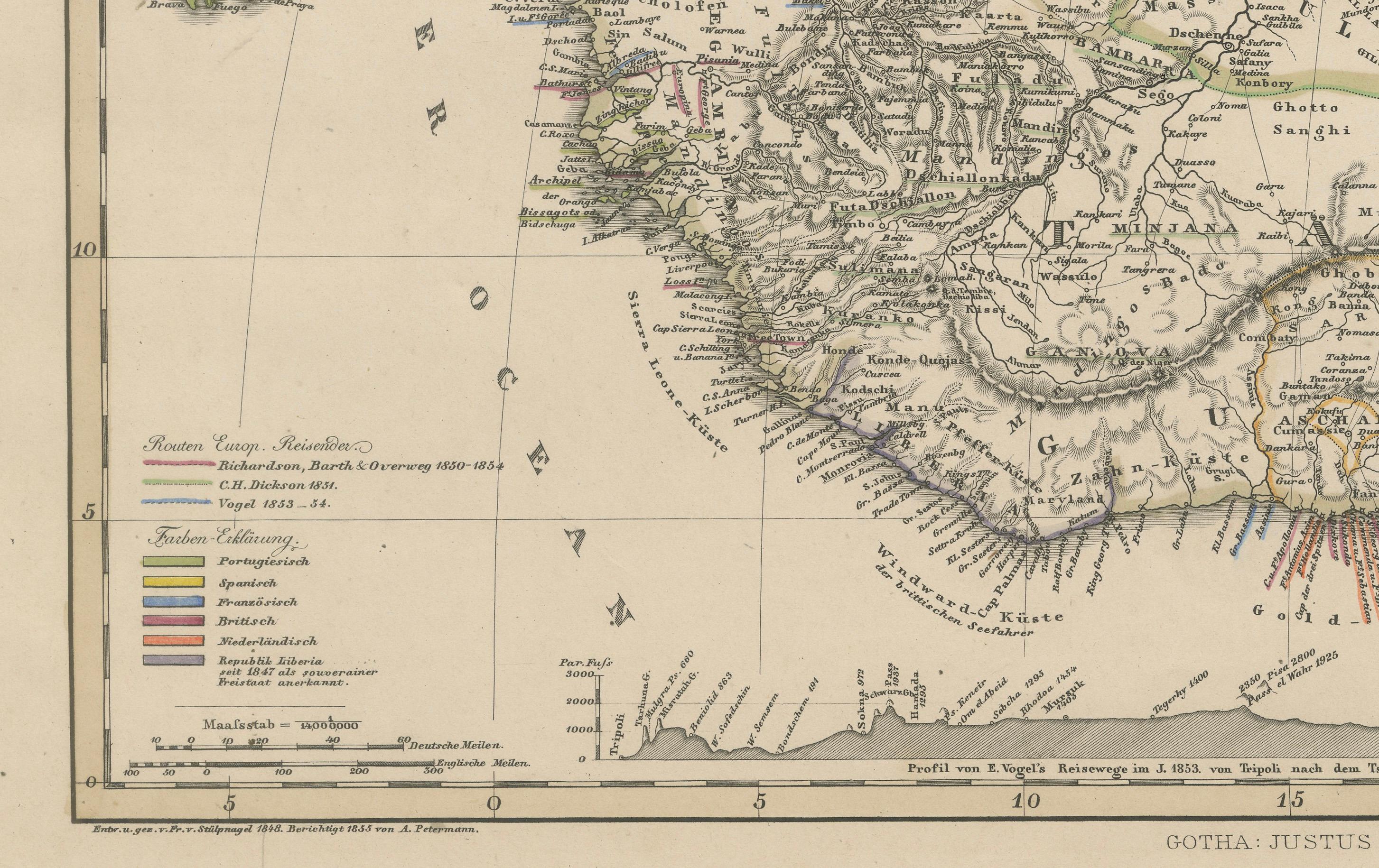
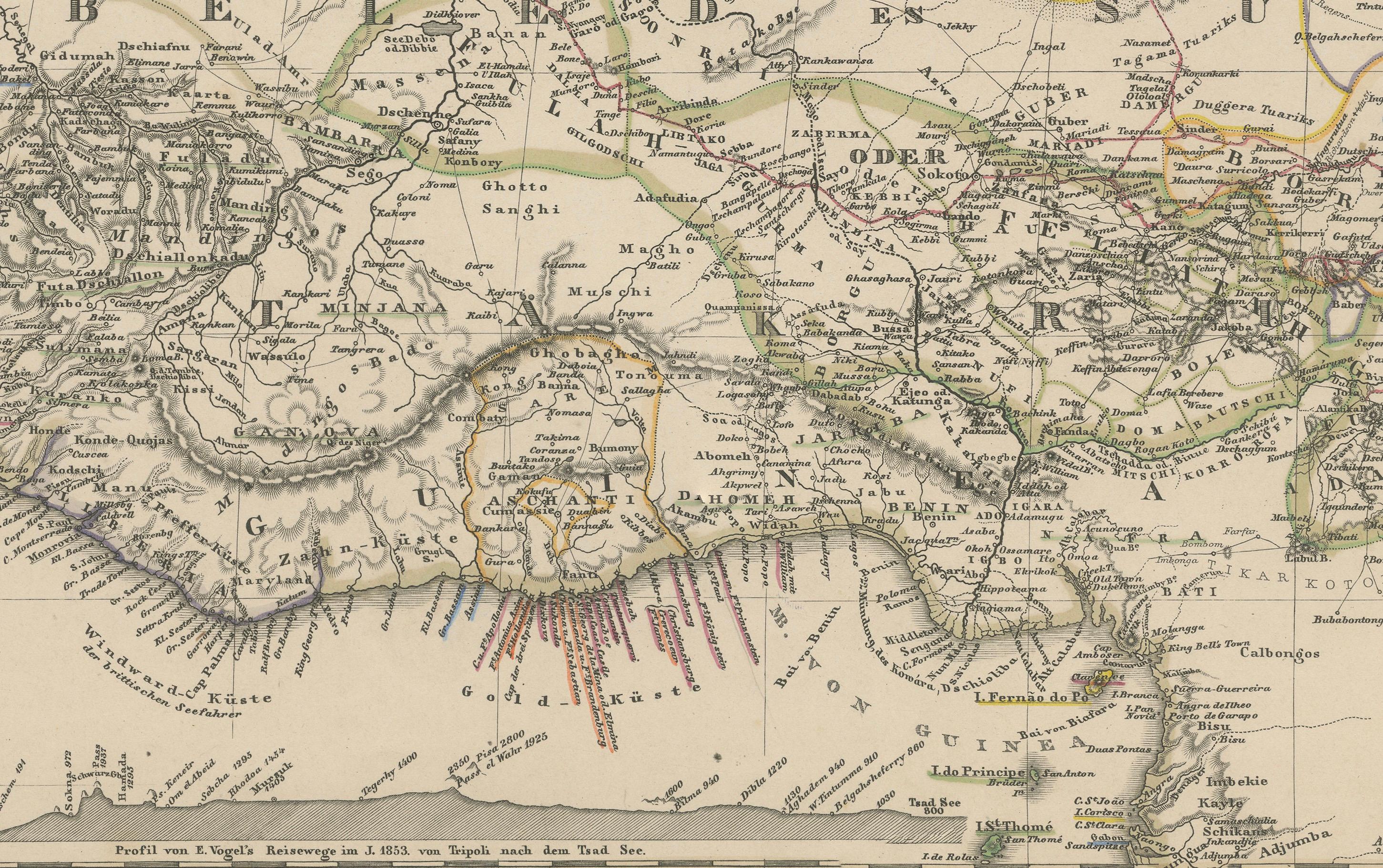
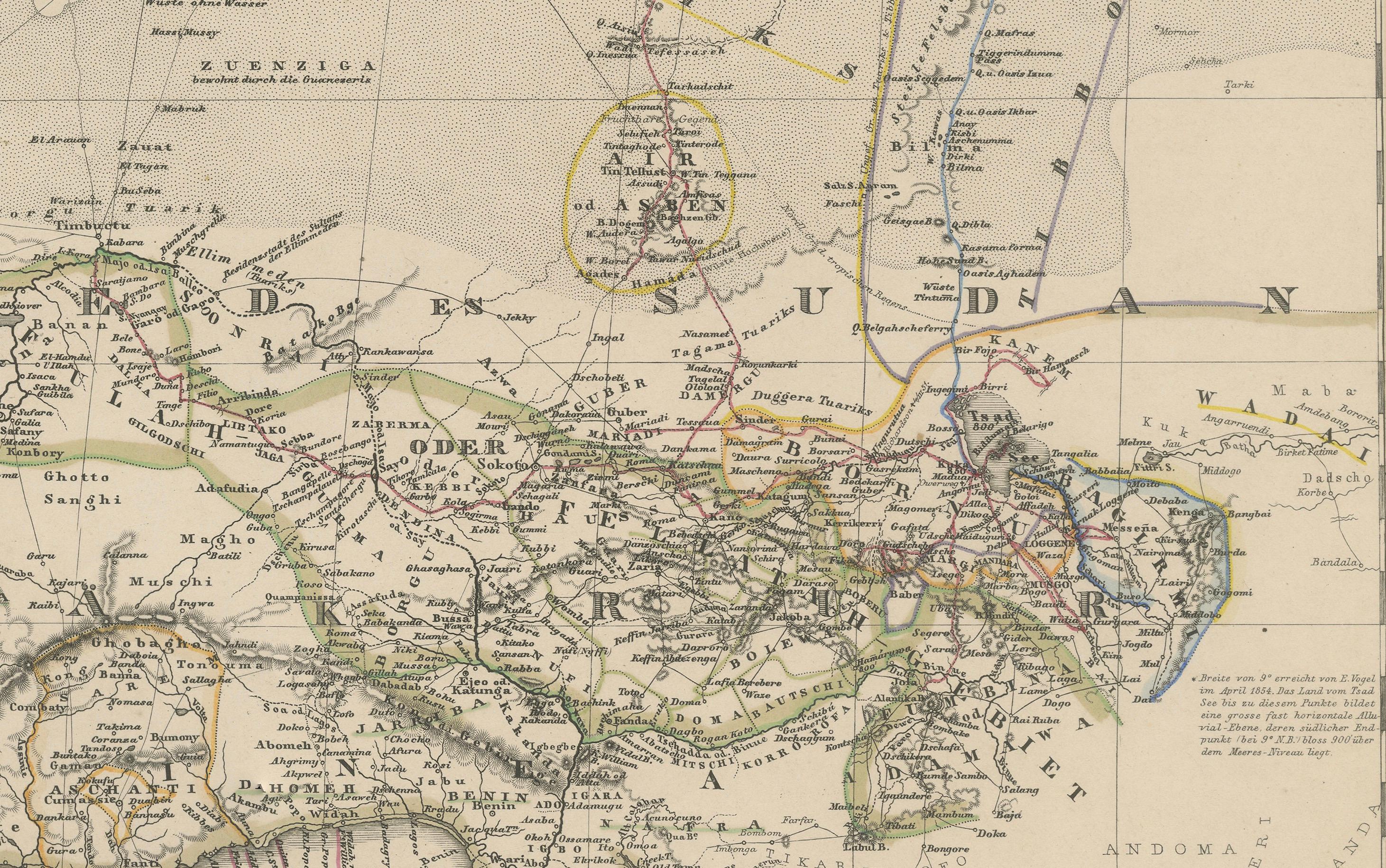
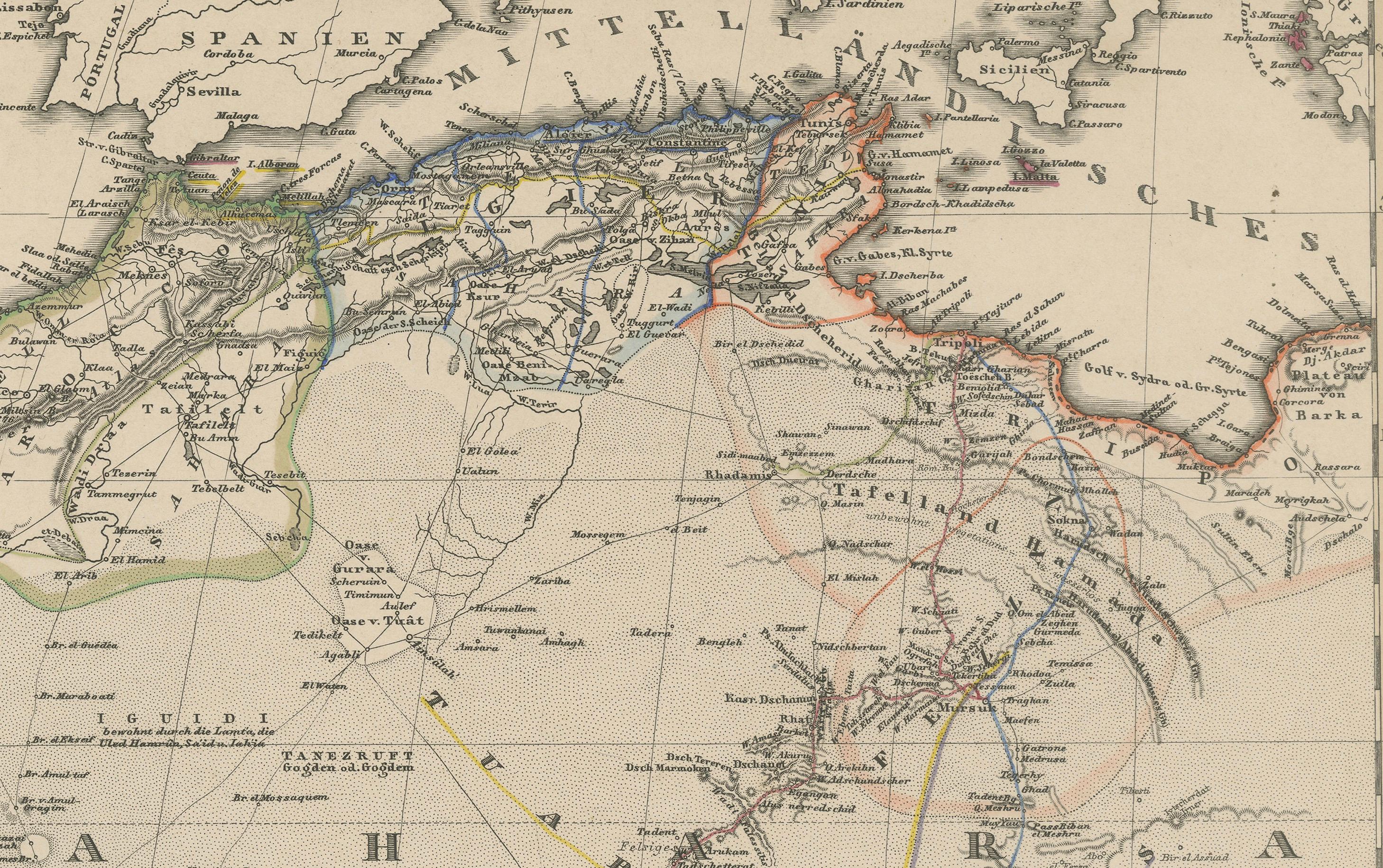
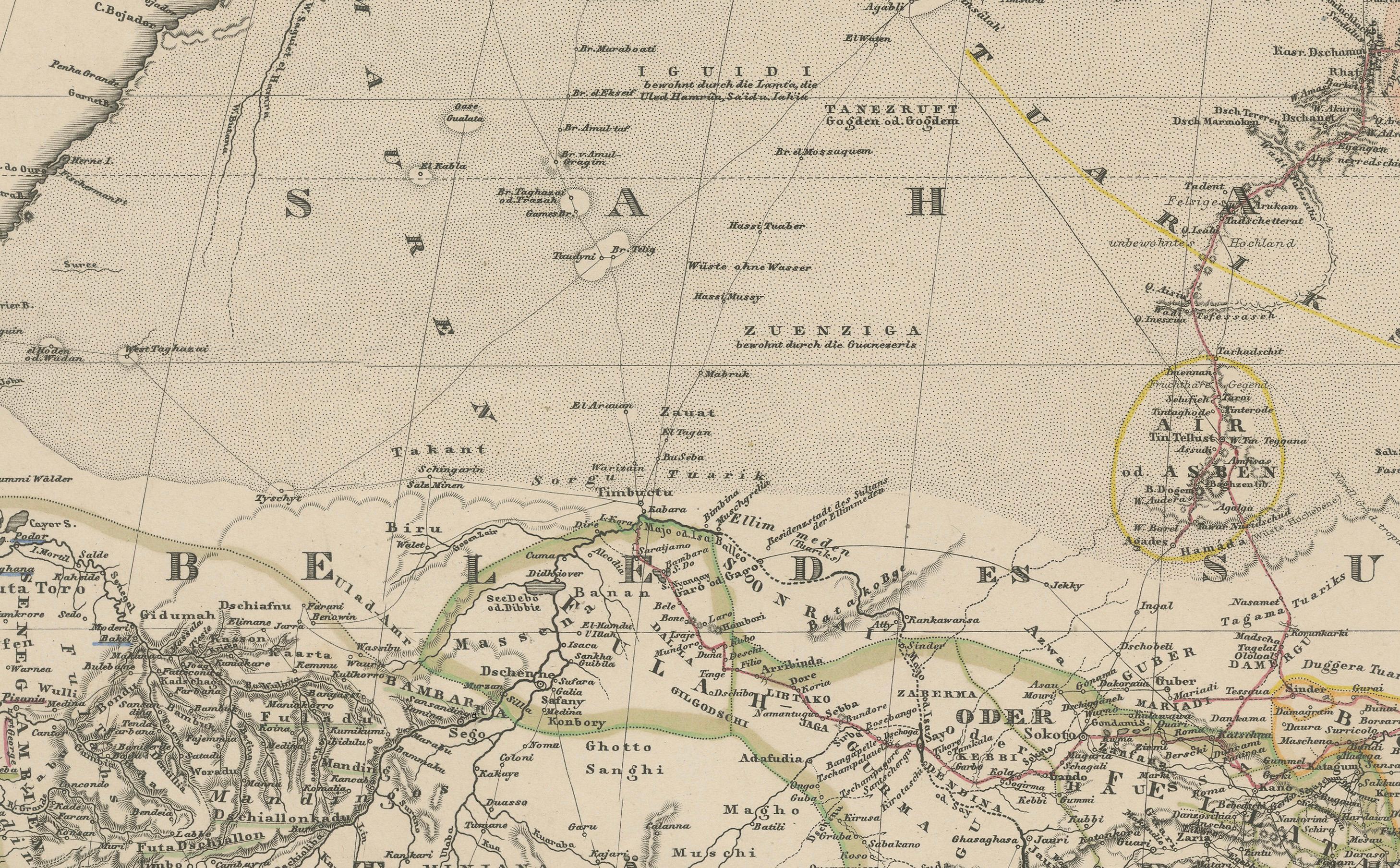
The map illustrates West and Central Africa in remarkable detail for the time, including the coastal regions from Senegal and Guinea to Nigeria and Cameroon, and inland regions such as the Sudan, Guinea Highlands, the Niger River basin, and parts of the vast Sahara Desert. Notable cities, rivers, and ethnic regions are labeled, such as Timbuktu, Bornu, Biafra, and the Gold Coast. The map also captures important caravan routes, European trading outposts, and missions.
The map's legend distinguishes between European colonies (Spanish, Portuguese, French, and English possessions), as well as native kingdoms and Islamic regions. Territories such as Morocco, Algeria, Senegambia, and Dahomey are marked, and major rivers like the Niger and Volta are shown snaking through the terrain.
An important historical feature is the map's reflection of mid-19th-century European knowledge of African geography. Much of the continent’s interior remained unmapped by Western cartographers, which is clearly indicated by lightly sketched or speculative regions labeled “Sahara” or “Unbekanntes Land” (Unknown Land). The map includes notes on recent explorations and the routes taken by famous explorers.
This map is a valuable collector’s item for those interested in colonial history, African geography, or antique cartography. It is particularly attractive for its clean design, original hand coloring, and clarity of labeling.
Condition report:
Very good condition with light age toning. A few minor foxing spots in the right margin. Vertical centerfold as issued. Edges clean and margins ample.
Framing tips:
Ideal for display in a simple black or dark wood frame with a wide cream-colored mat to emphasize the detailed engraving. Suitable for pairing with other continental or African-themed maps from the Stieler atlas series.
Technique: Engraving with original hand coloring
Maker: F. von Stülpnagel, Gotha, Justus Perthes, 1857