About this sheet
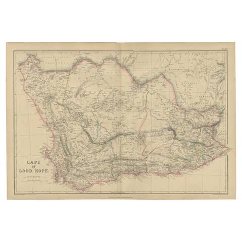
Original Antique Map of the Cape of Good Hope, South Africa – Blackie c.1860
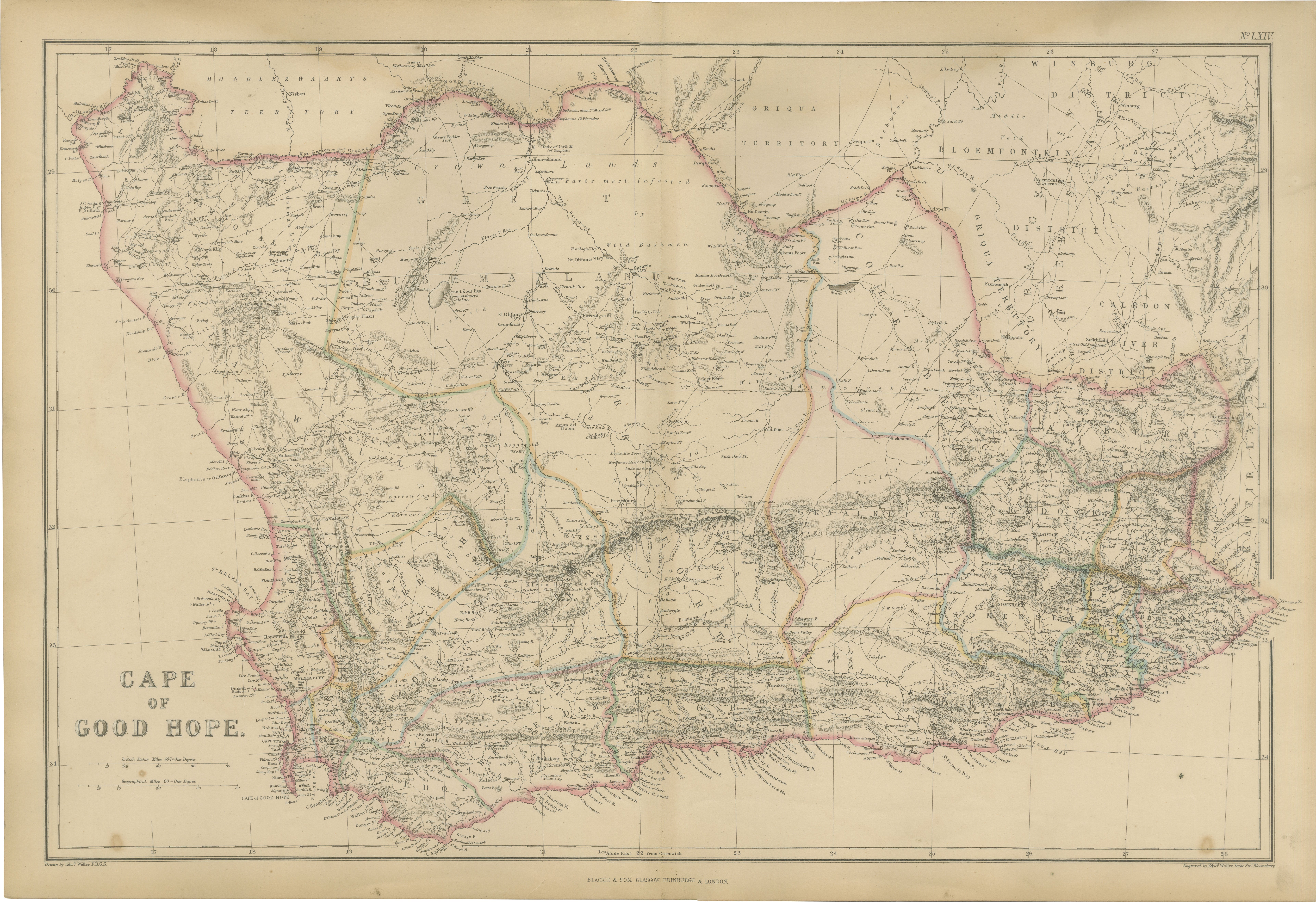
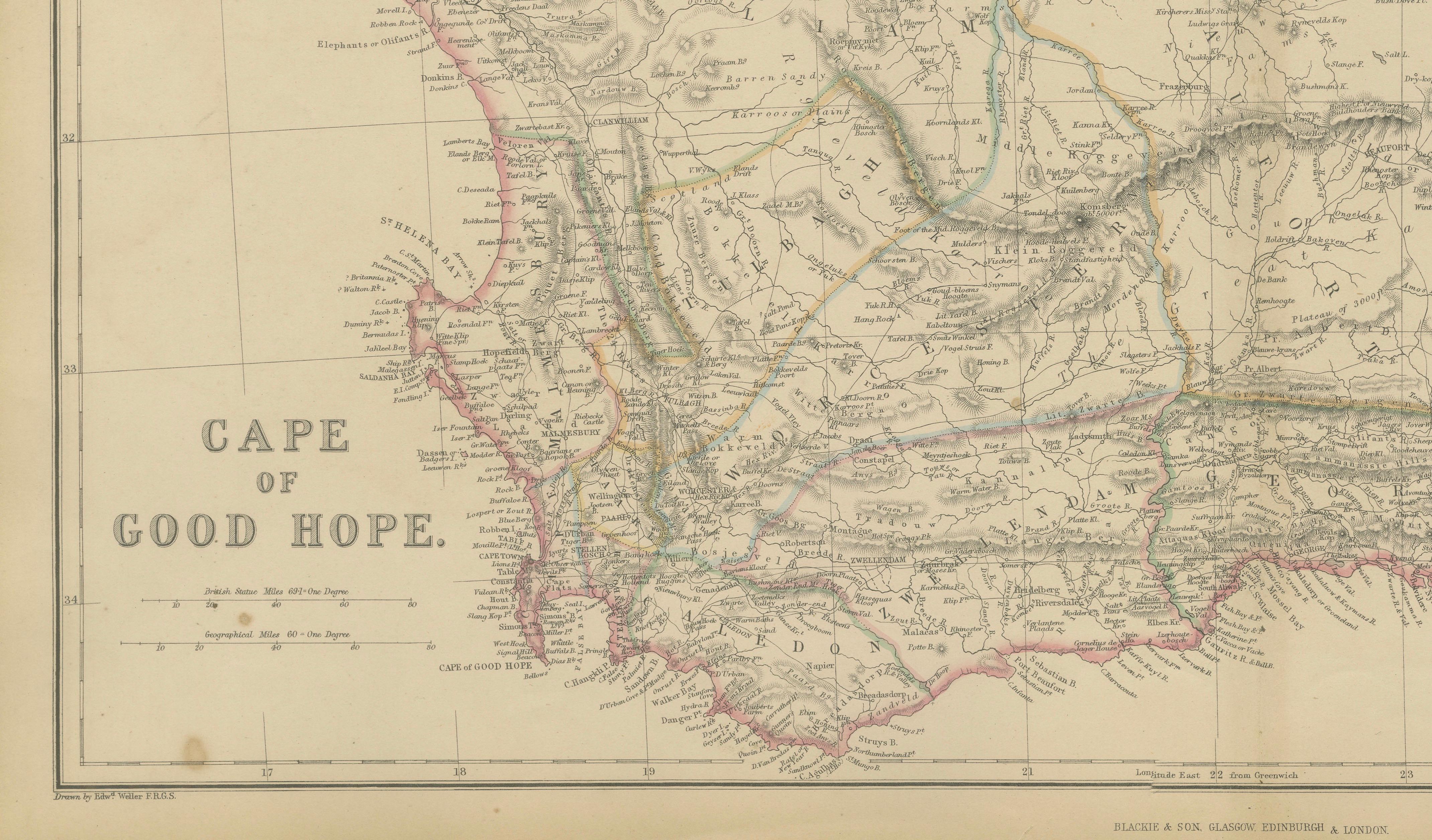
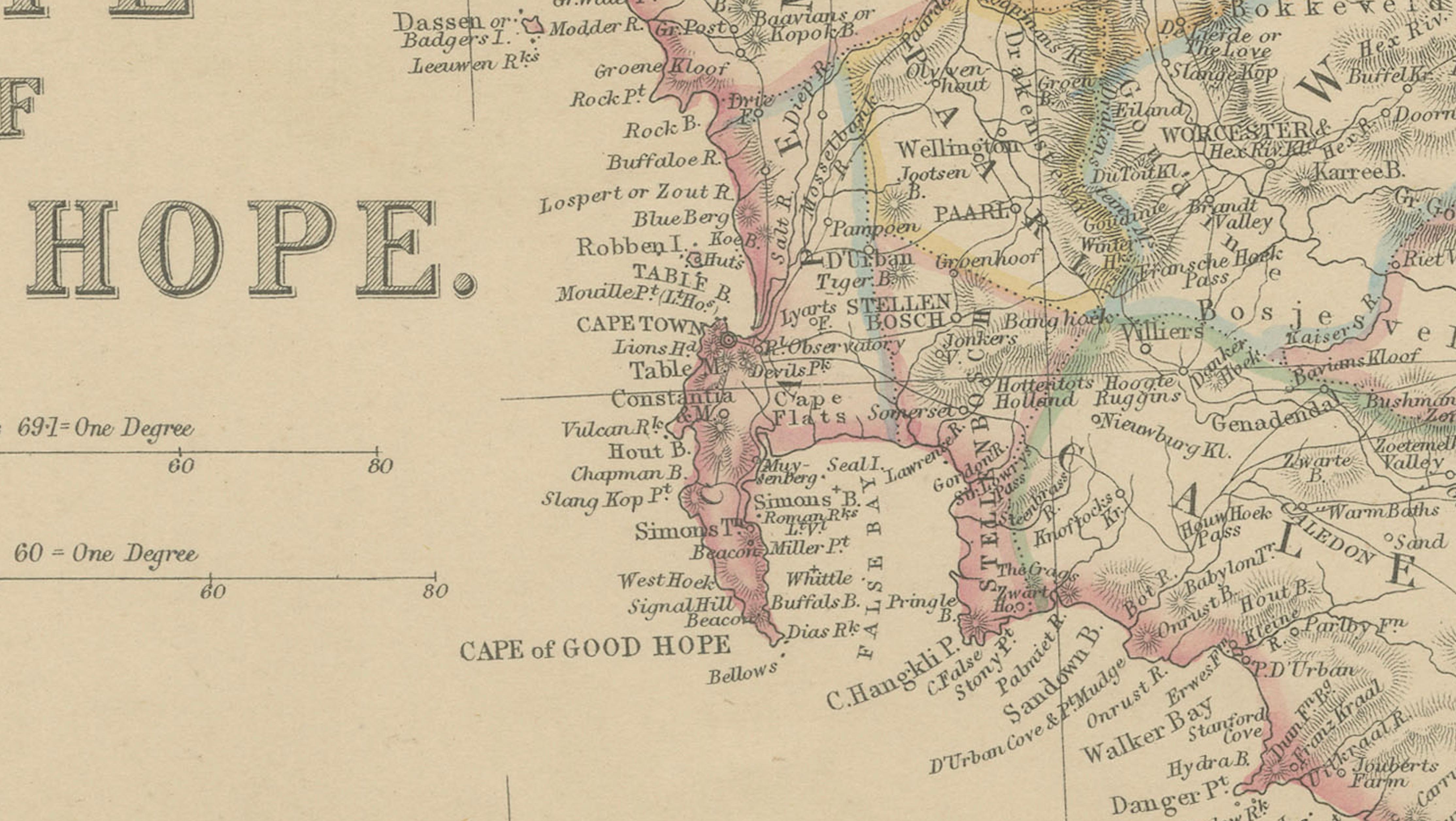
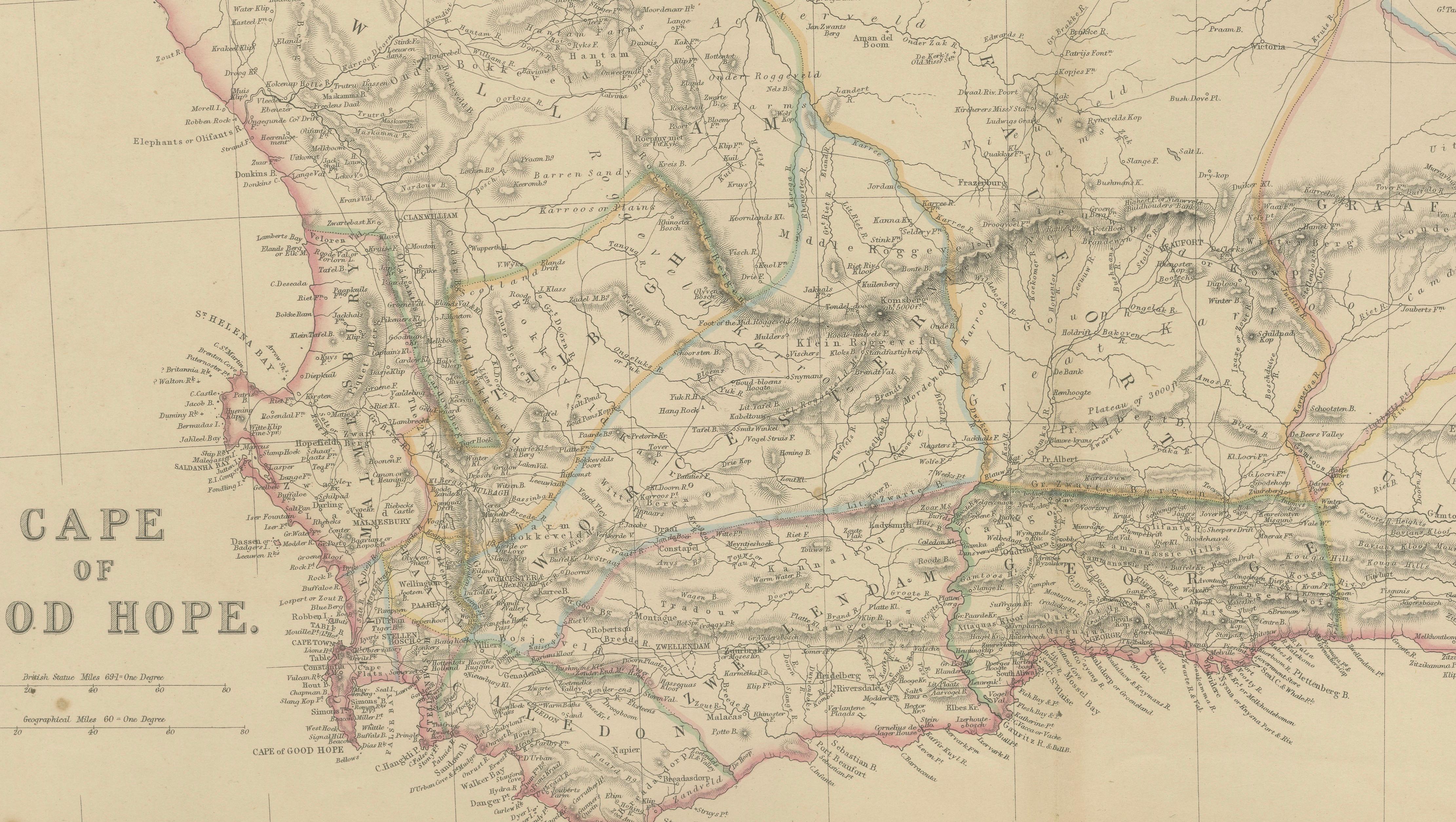
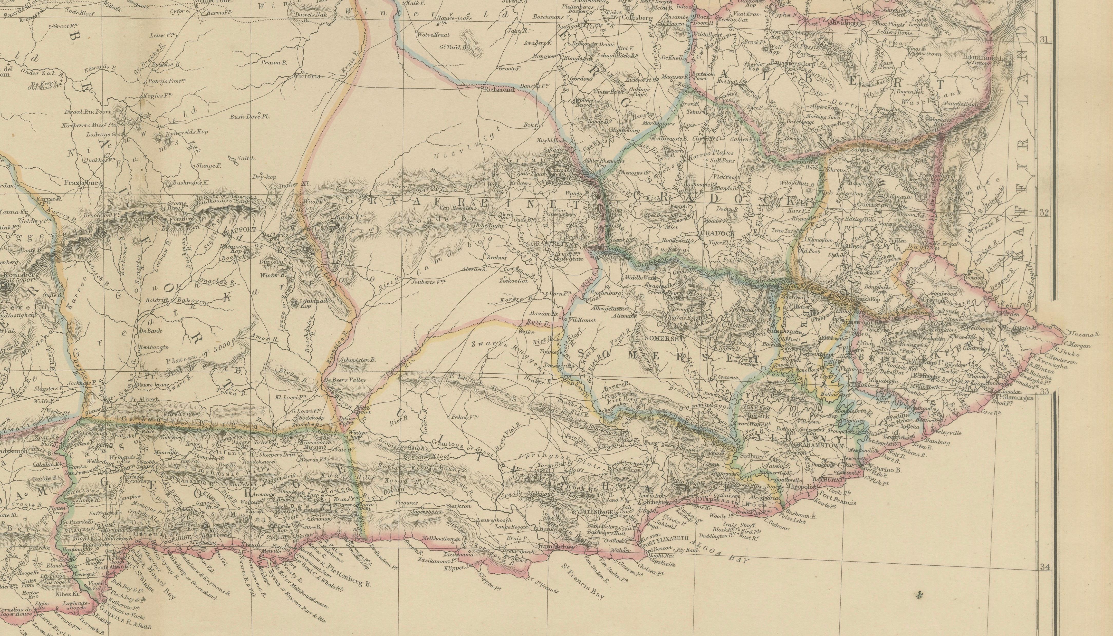
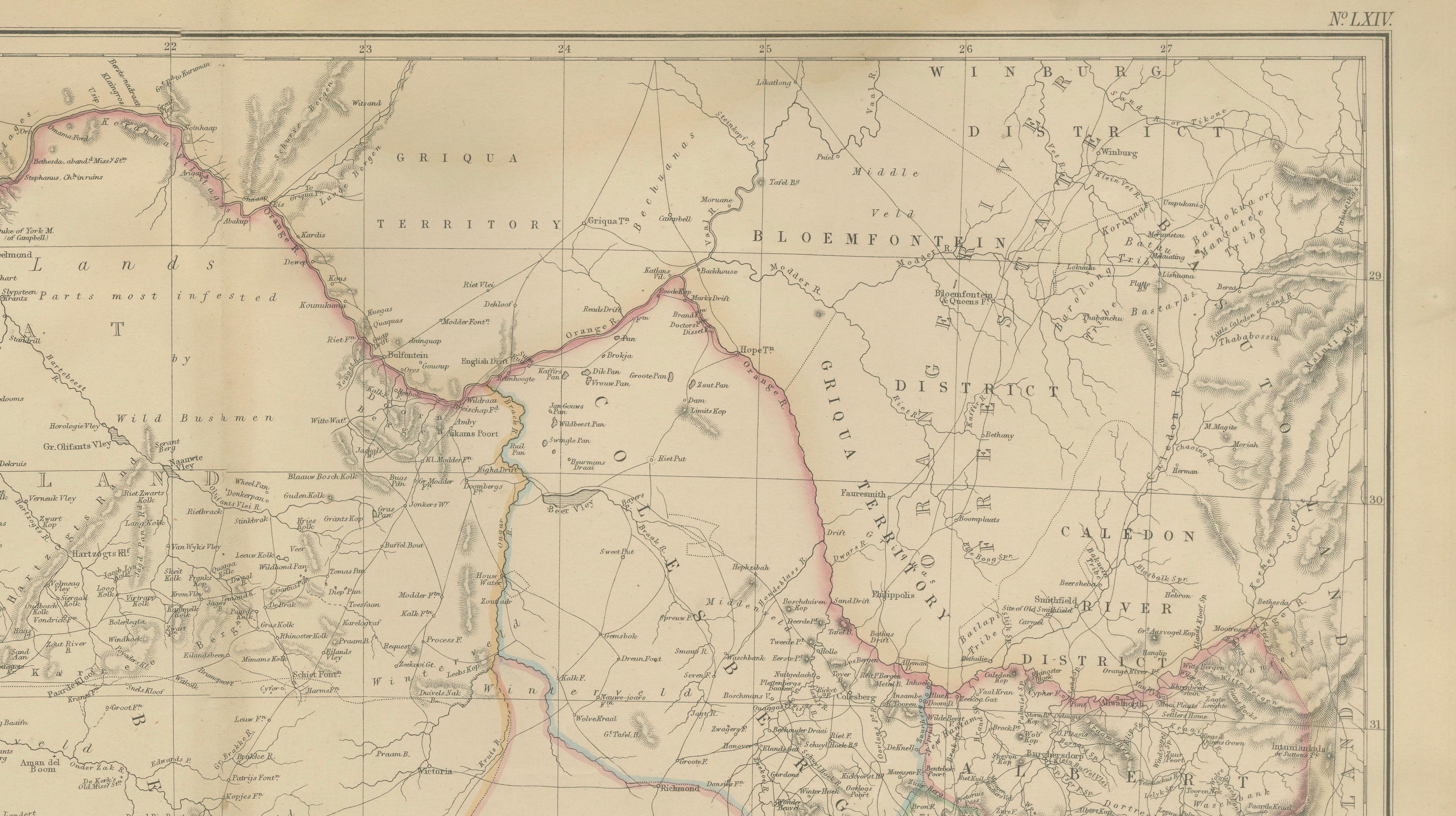
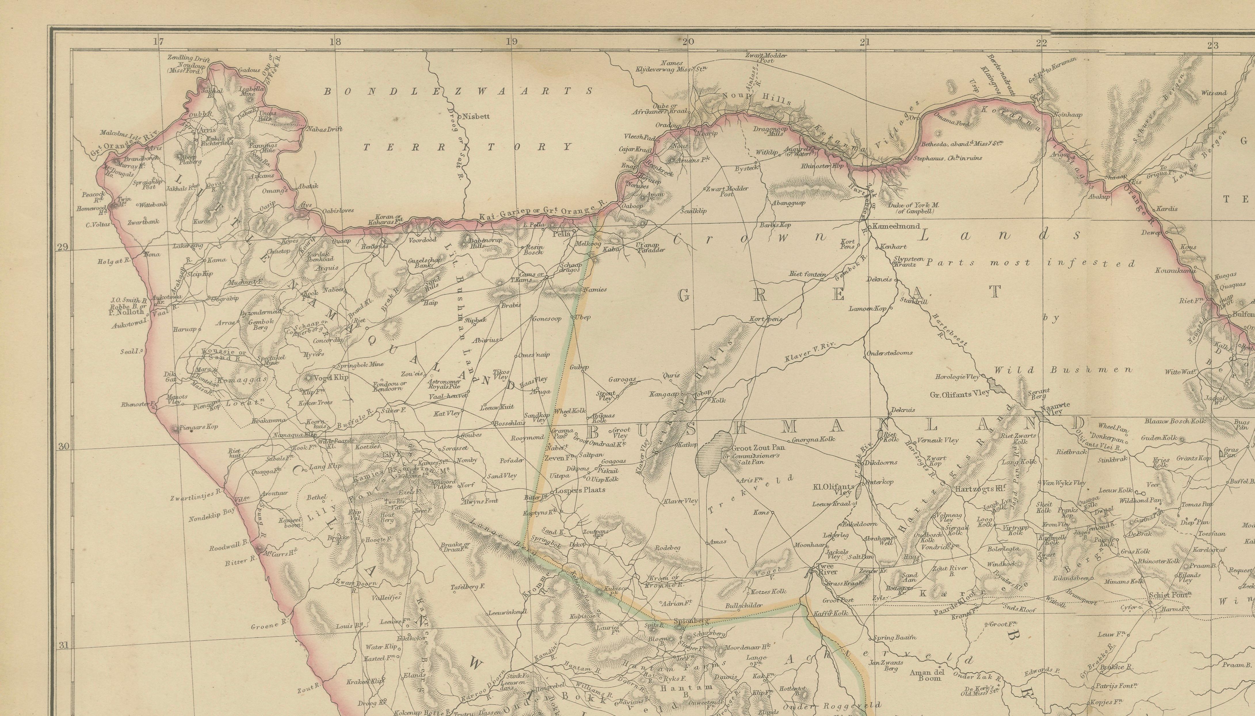
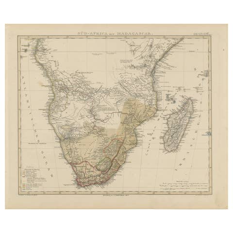
This detailed original antique map depicts the Cape of Good Hope and much of southern Africa during the mid-nineteenth century, published by the respected Scottish firm Blackie & Son around 1860. The map presents the political and geographical landscape of what is now South Africa, Namibia, Lesotho, and surrounding regions during a period of rapid colonial expansion, exploration, and settlement.
The map is finely engraved and enhanced with original outline hand color distinguishing the various colonial territories, districts, and administrative regions. Prominent features include Cape Colony, British Kaffraria, the Orange Free State, Natal, the Transvaal region, Griqualand, and extensive indigenous territories. Numerous towns, settlements, mission stations, rivers, mountain ranges, roads, and frontier boundaries are carefully identified, providing a remarkable snapshot of southern Africa before the discovery of many of the mineral resources that would later transform the region.
Particularly noteworthy is the map's extensive detail in the interior, reflecting the growing European knowledge of southern Africa during the nineteenth century. Mountain systems, river networks, transport routes, and frontier districts are shown with impressive accuracy for the period. The map also illustrates the complex political geography of southern Africa during an era marked by Boer migration, British administration, and interactions with indigenous African kingdoms and communities.
Published by Blackie & Son of Glasgow, Edinburgh, and London, this map comes from one of the most influential Victorian atlas publishers. Blackie's atlases were valued for their accuracy, elegant engraving, and educational significance, making them highly sought after by collectors today.
The map offers both historical importance and decorative appeal, making it an excellent acquisition for collectors of African cartography, colonial history, exploration, British Empire material, and nineteenth-century maps of South Africa.
Keywords: Cape of Good Hope, South Africa, Cape Colony, Natal, Orange Free State, Transvaal, Griqualand, British Kaffraria, Africa map, colonial Africa, Victorian cartography, Blackie & Son, antique map, nineteenth century map, South African history, Namibia, Lesotho, African exploration.
Condition: Good antique condition with age-related toning and minor handling wear consistent with age. Please study the images carefully. Any imperfections will be visible in the photographs.
Framing Tips: This map displays beautifully in a walnut, dark mahogany, or black frame with an ivory or cream museum mat. Its large format and delicate original coloring make it particularly suitable for a study, library, office, or interior featuring travel and exploration themes.
This offering is for an original nineteenth-century map, not a modern reproduction. Any framed room visualizations are intended solely to illustrate possible display options. The map is sold unframed.
Technique: Steel engraving with original hand color
Maker: Blackie & Son, Glasgow, Edinburgh & London, circa 1860