About this sheet
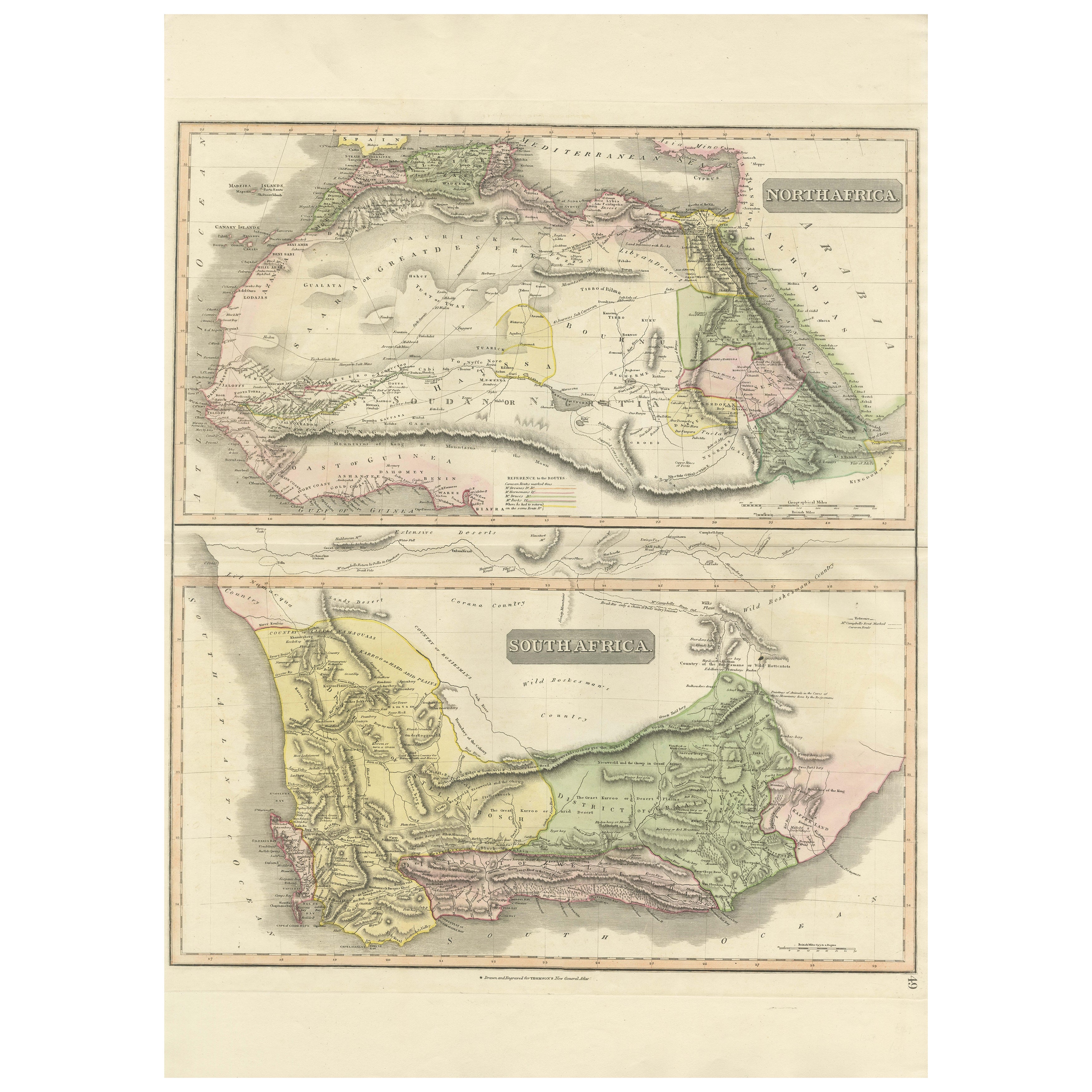
North & South Africa – Elegant Double Map, Hand-Colored, c.1825
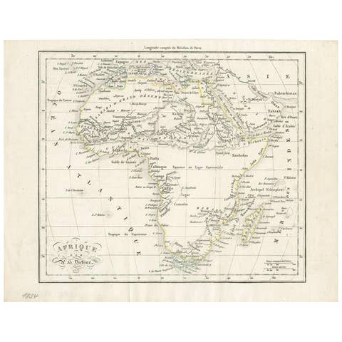
This striking early 19th-century double map presents Africa in two complementary sections: North Africa above and South Africa below, offering a broad and visually balanced overview of the continent as understood during the age of early scientific and colonial cartography. Issued circa 1825, the sheet combines geographical clarity with refined decorative appeal.
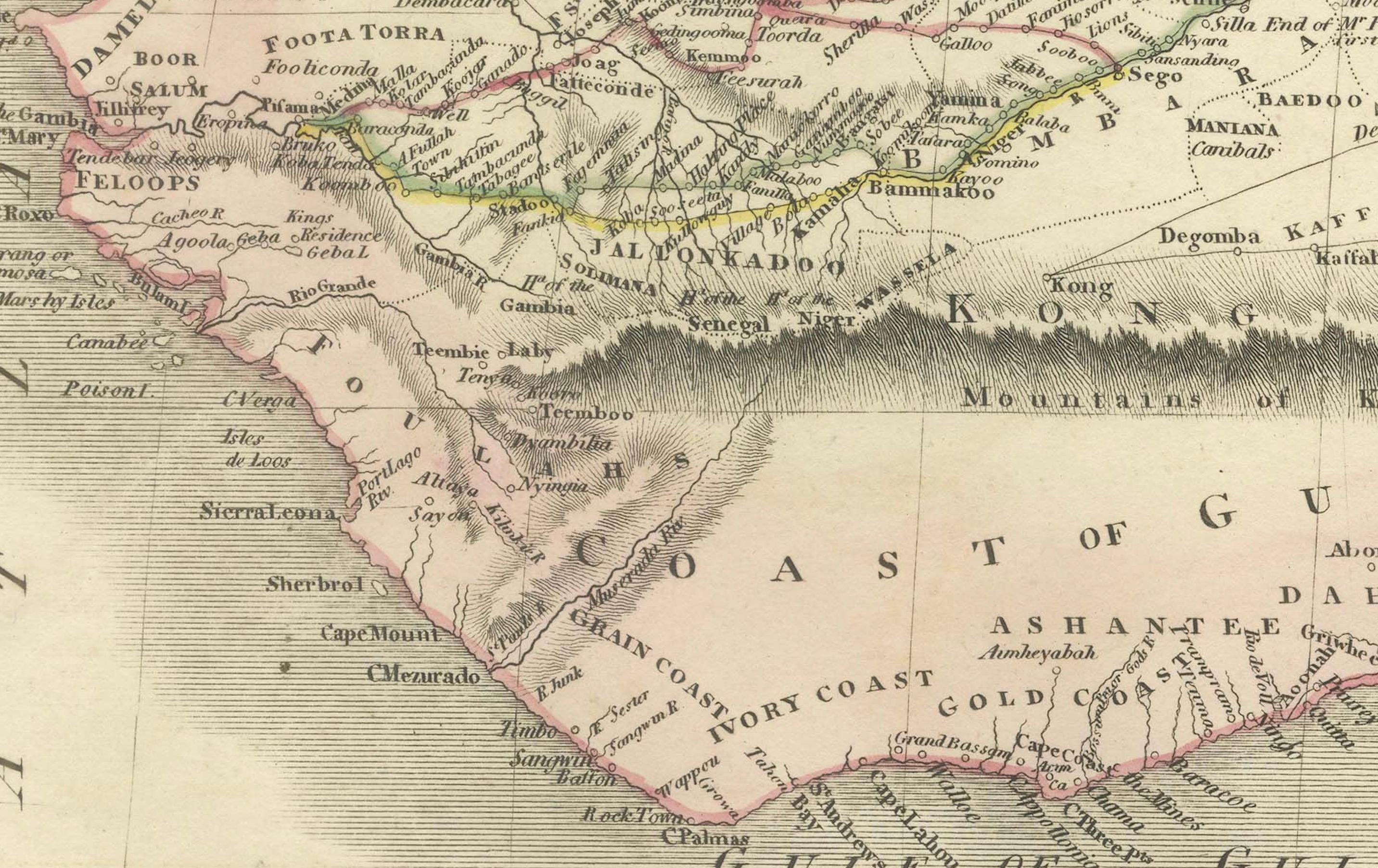
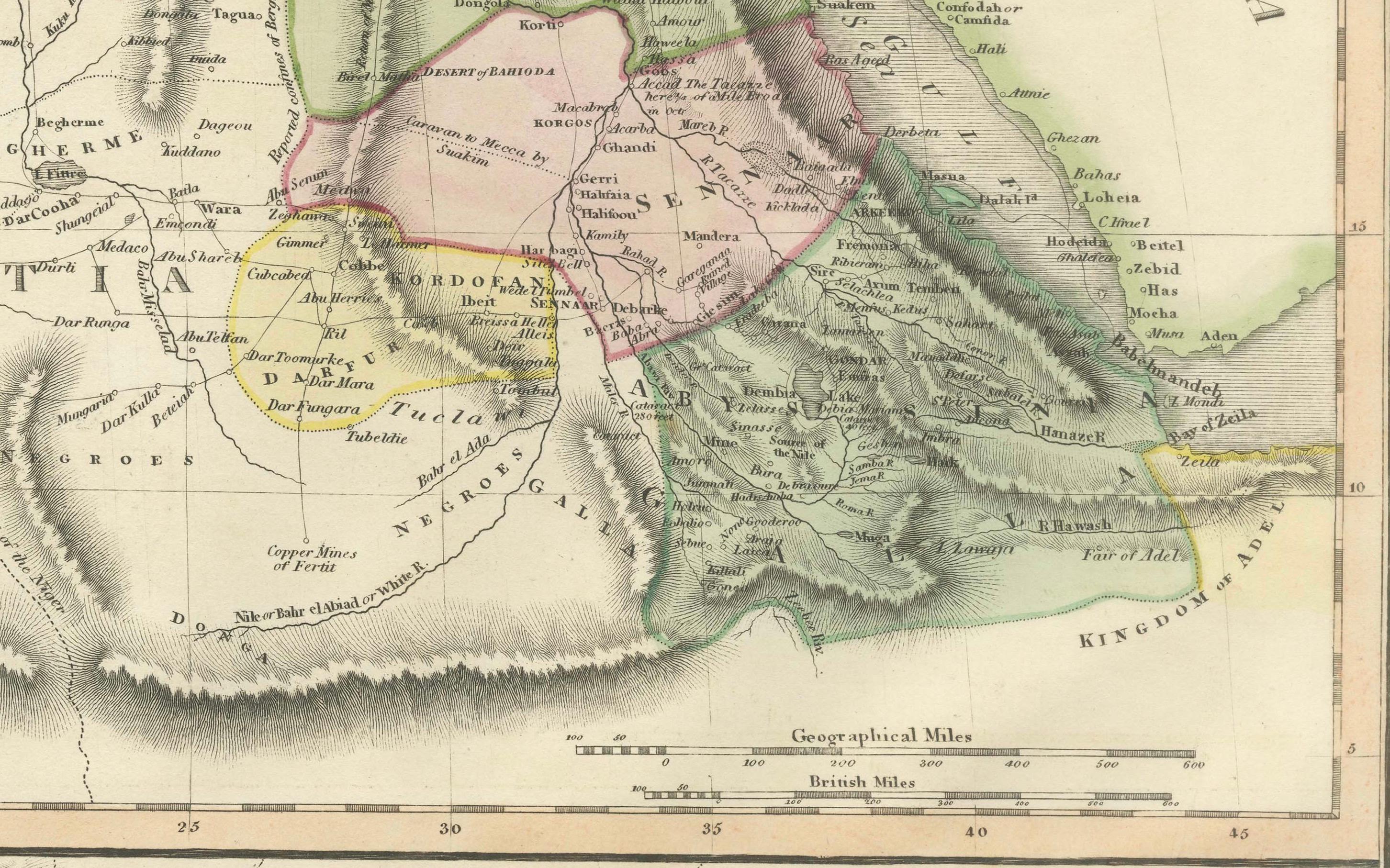
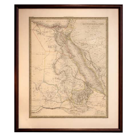
The upper map depicts North Africa from the Atlantic coast across the Sahara to Egypt and the Red Sea, including Morocco, Algiers, Tunisia, Libya, and the Nile Valley. Mountain chains, desert regions, caravan routes, and political divisions are carefully delineated, reflecting European efforts to systematize knowledge of the Saharan interior and Mediterranean-connected regions.
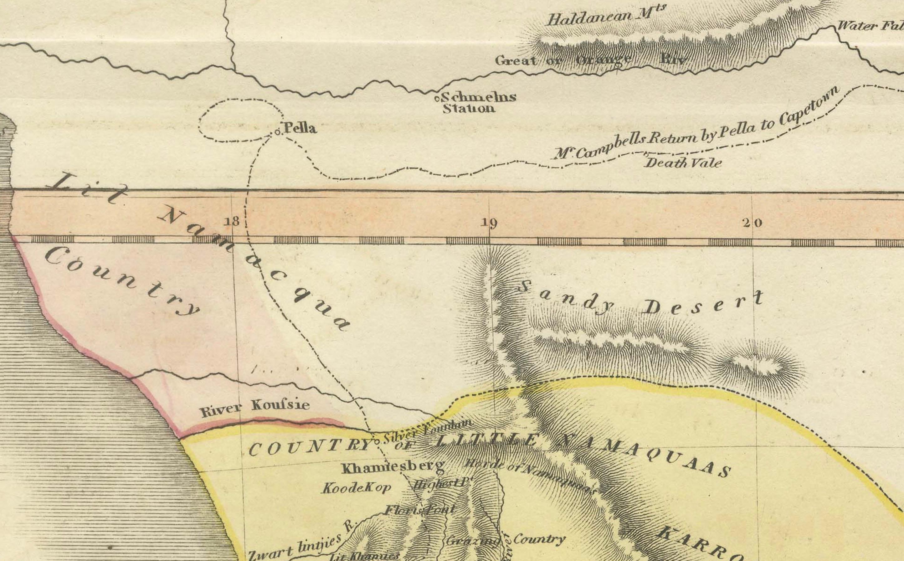
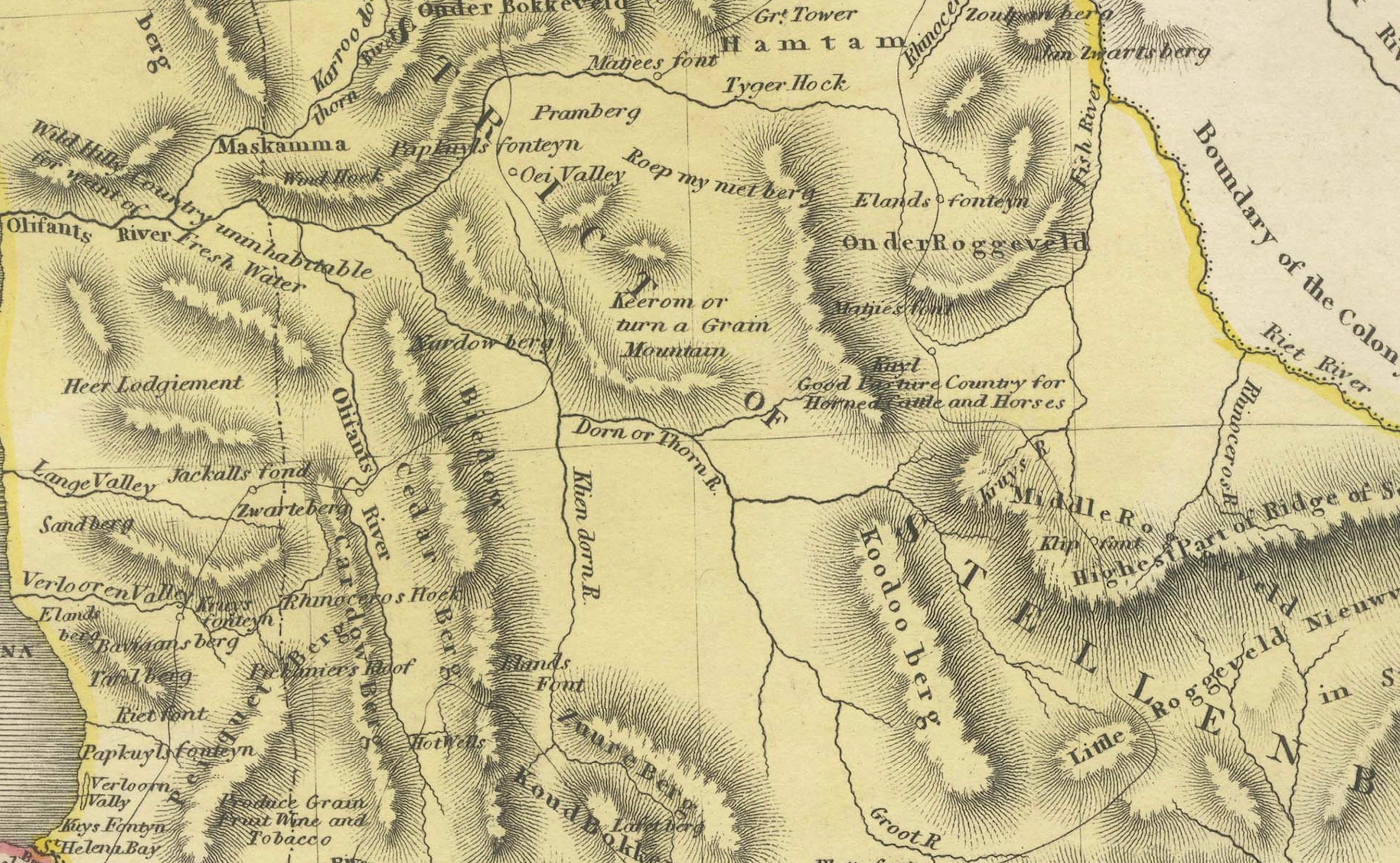
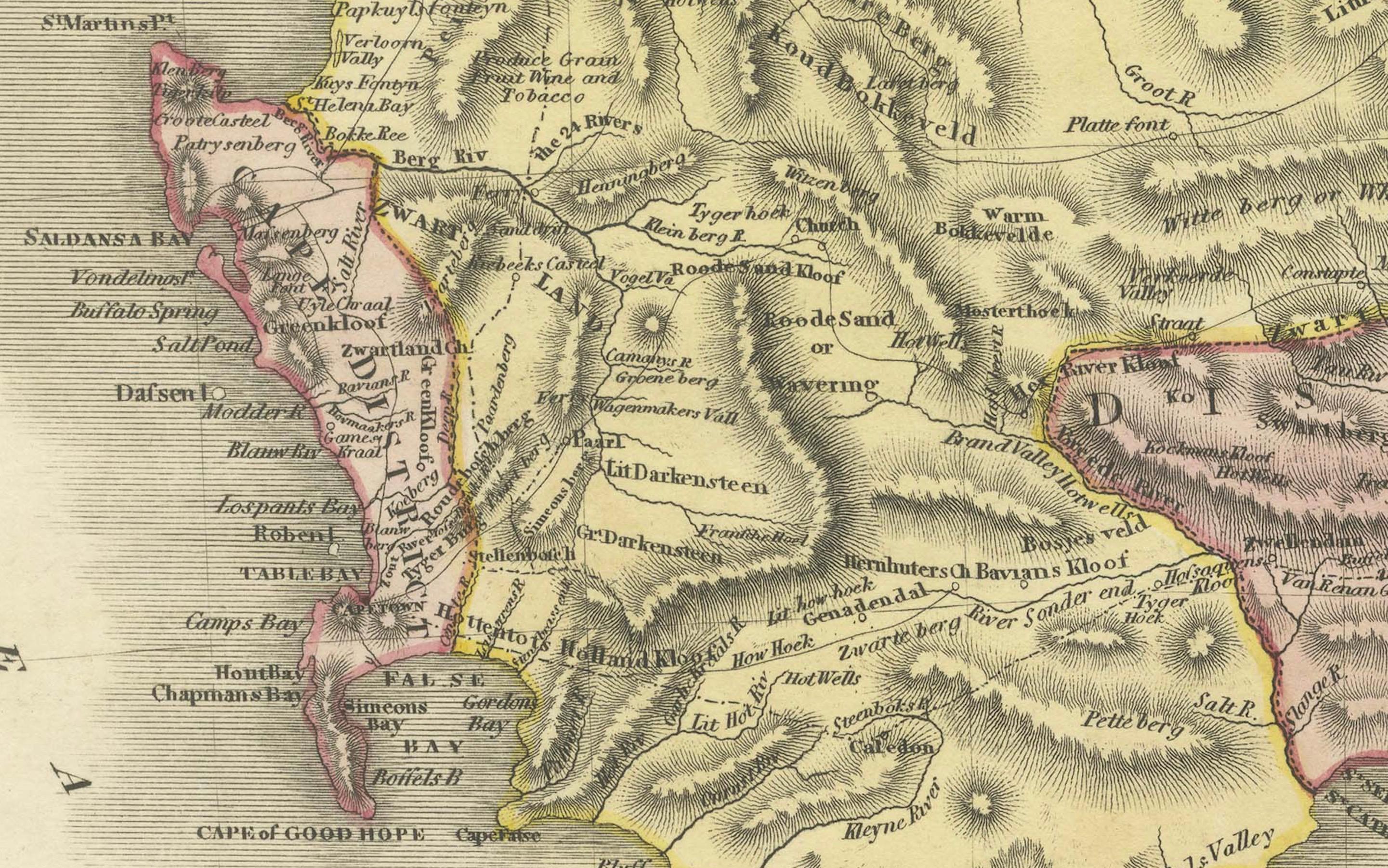
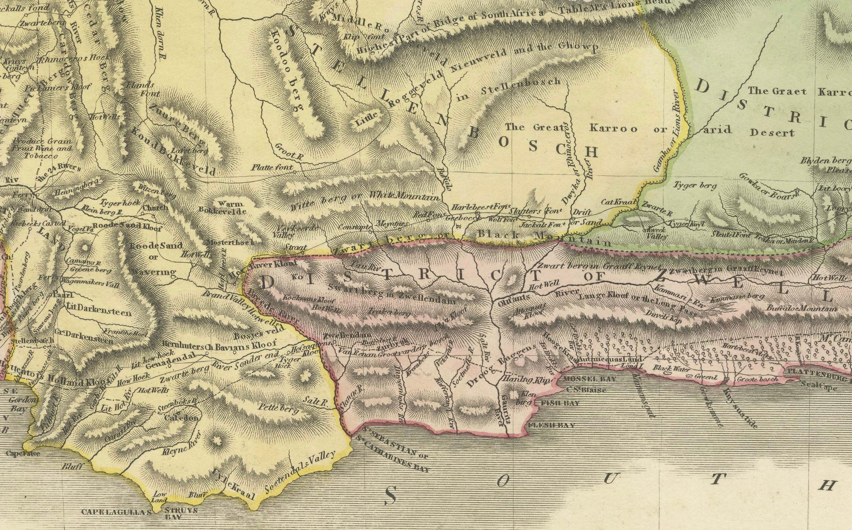
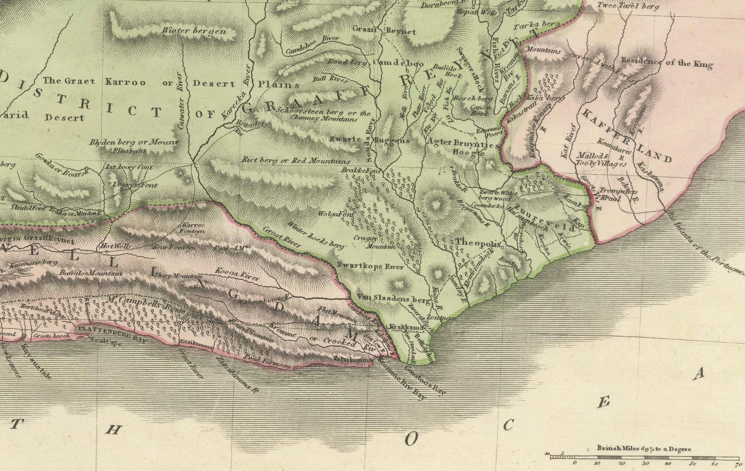
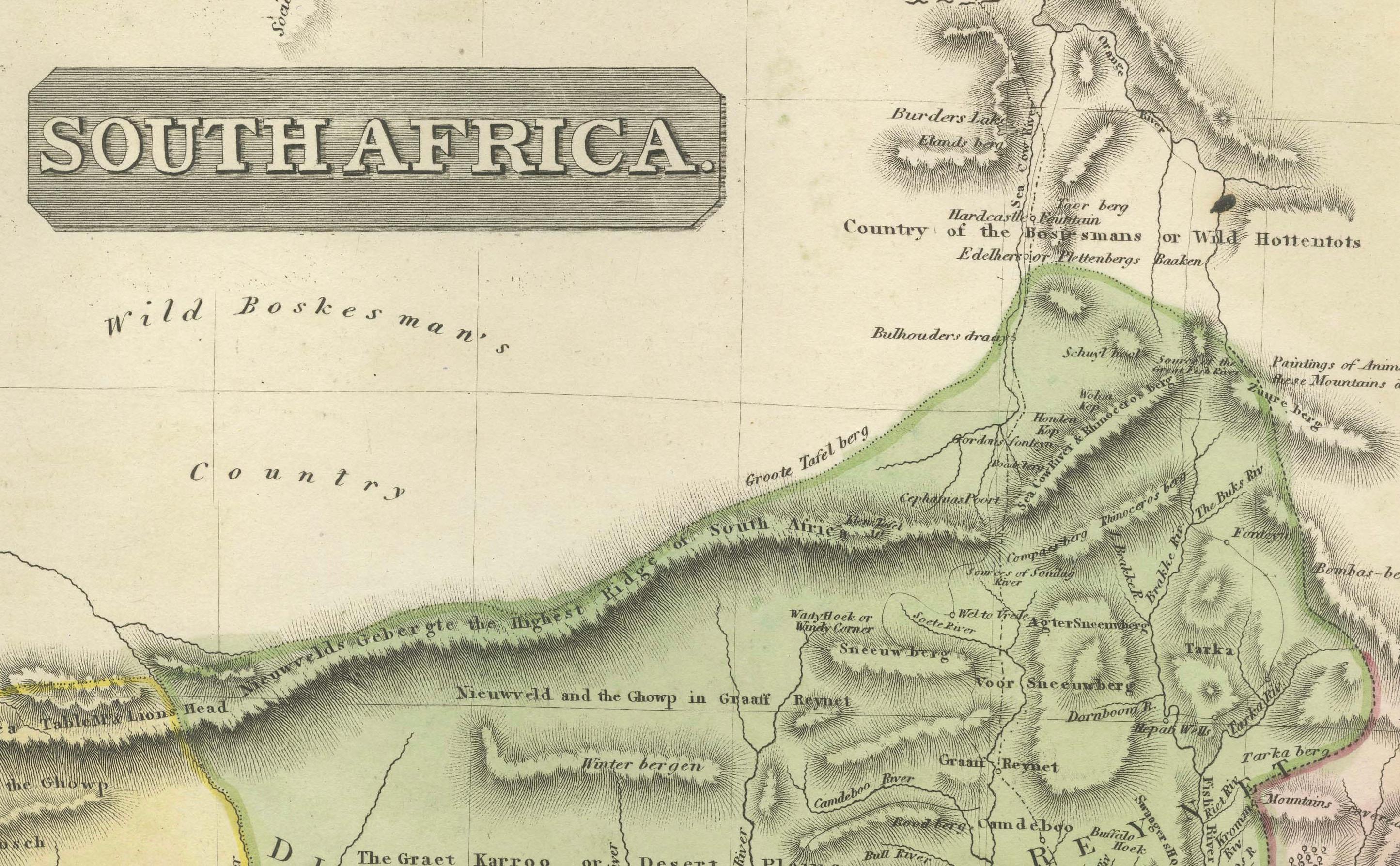
The lower map focuses on South Africa, showing the Cape region, inland plateaus, river systems, and coastal geography extending toward the Indian and Atlantic Oceans. Emerging colonial districts, indigenous regions, and topographical features are clearly marked, illustrating the growing European interest in southern Africa during the early 19th century.
Both maps are engraved in a clean, legible style and enhanced with contemporary outline hand coloring that distinguishes regions without overpowering the composition. The horizontal division between North and South Africa creates a calm, architectural rhythm, making the piece particularly effective as a wall map. The restrained palette, fine line work, and generous margins give the map a refined and timeless presence.
This double map appeals equally to collectors of African cartography and to interior designers seeking a sophisticated historic statement piece. It works beautifully in both classic and contemporary interiors and pairs well with Mediterranean, Egypt, or Indian Ocean maps.
Condition report
Good condition overall. Central vertical fold as issued. Light age toning consistent with period. Minor scattered spots and light surface marks. Original outline hand coloring. Plate marks visible. Margins intact.
Framing tips
A wide off-white or light sand-colored mat enhances the horizontal composition and allows both maps to breathe visually. A medium to dark wood frame or softly ebonized frame gives the piece a refined, gallery-ready appearance. Particularly effective as a large statement map.
Technique: Copper engraving with contemporary outline hand color
Maker: European school, c.1825