About this sheet
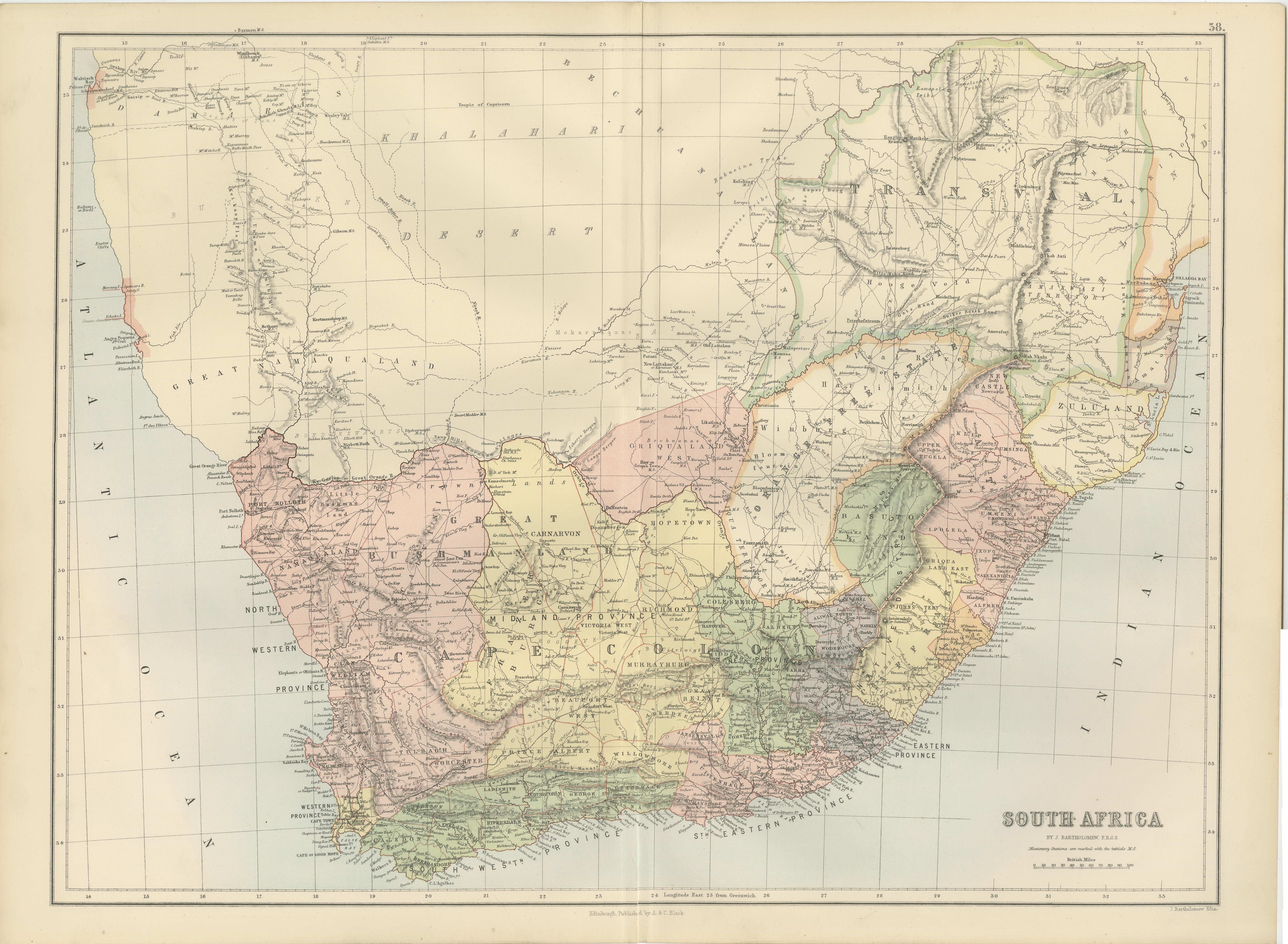
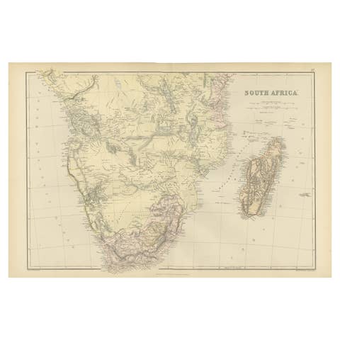
Antique Map South Africa, Bartholomew for Black’s General Atlas - 1884
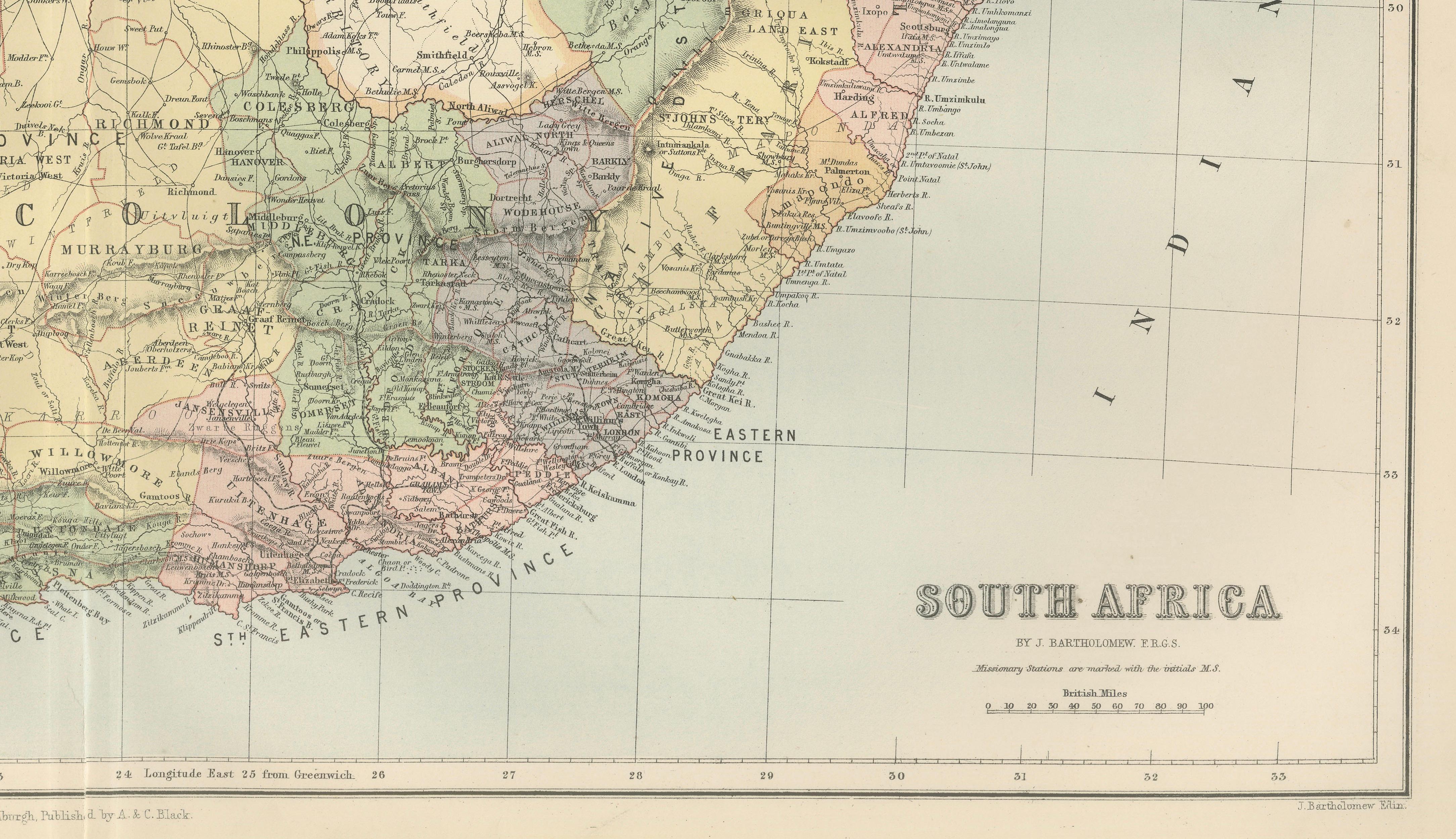
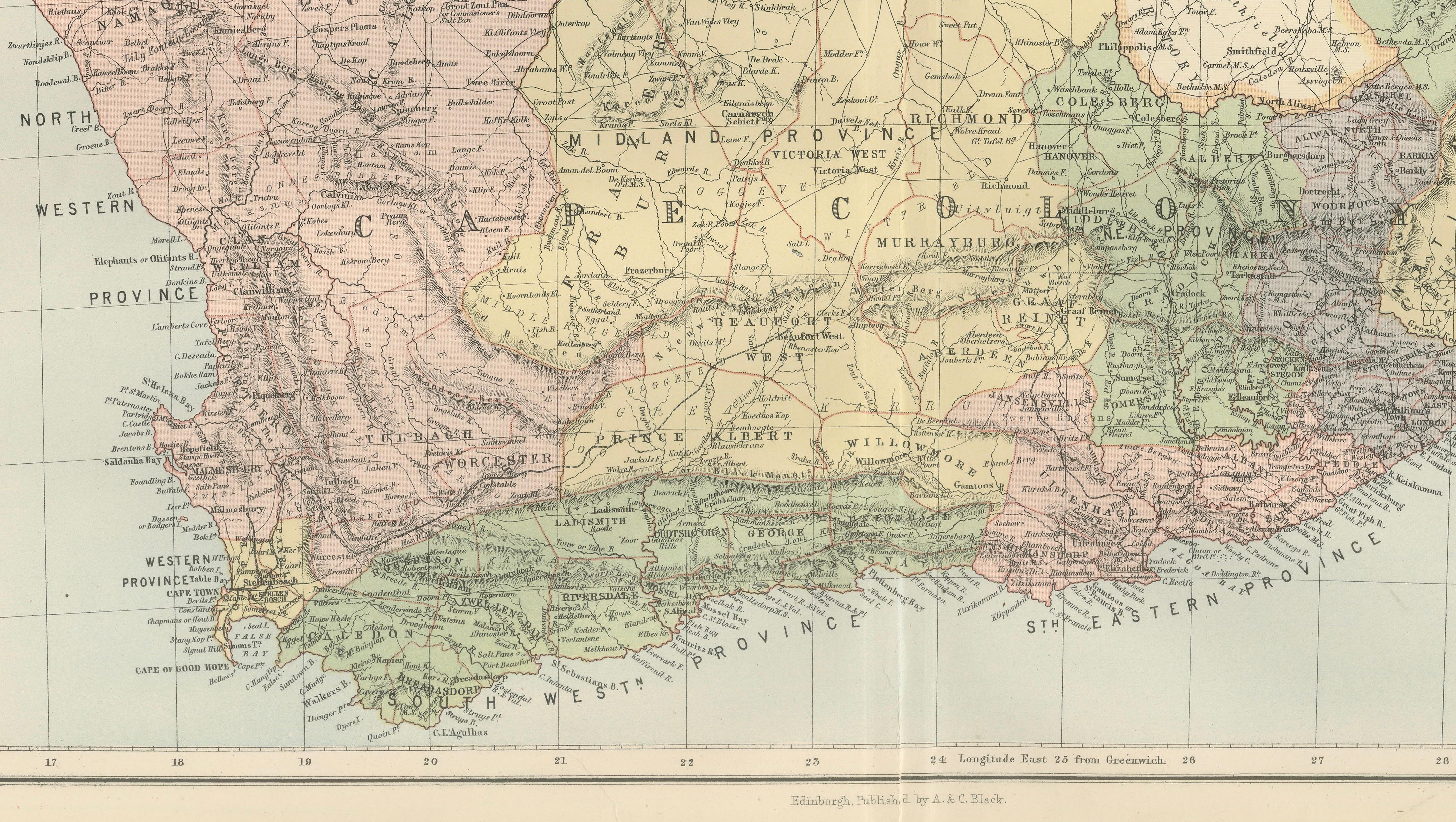
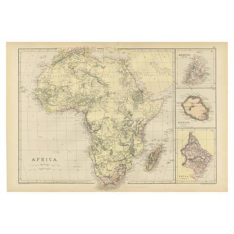
This detailed map of South Africa was published in the New and Revised Edition of Black’s General Atlas of the World, issued in Edinburgh in 1884 by the respected Scottish publisher A. & C. Black. The map was prepared under the direction of the renowned cartographer John Bartholomew, whose work helped define the standards of nineteenth-century atlas cartography.
John Bartholomew was one of the most influential mapmakers of the Victorian era. His atlases for A. & C. Black were celebrated for their clarity, precision, and elegant presentation. Combining refined engraving with carefully printed color, Bartholomew’s maps provided both accurate geographic information and an aesthetically balanced design. Black’s General Atlas became widely used in schools, institutions, and government offices throughout Europe and the British Empire.
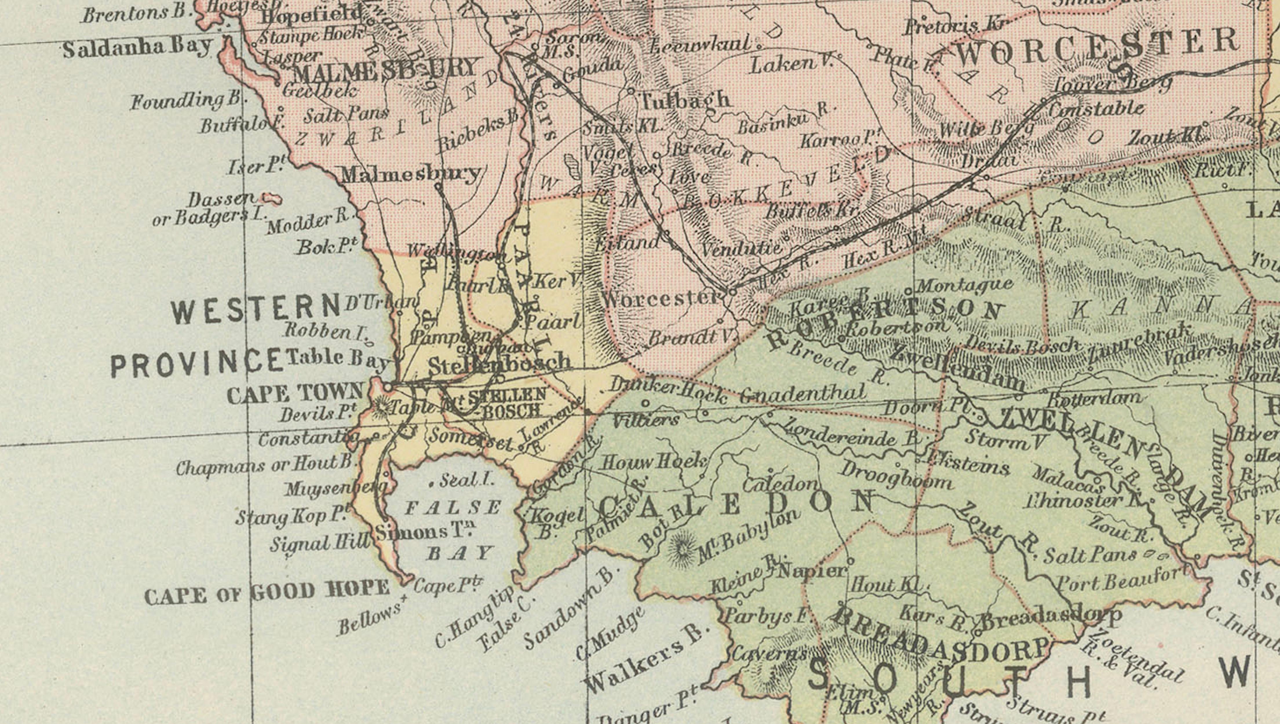
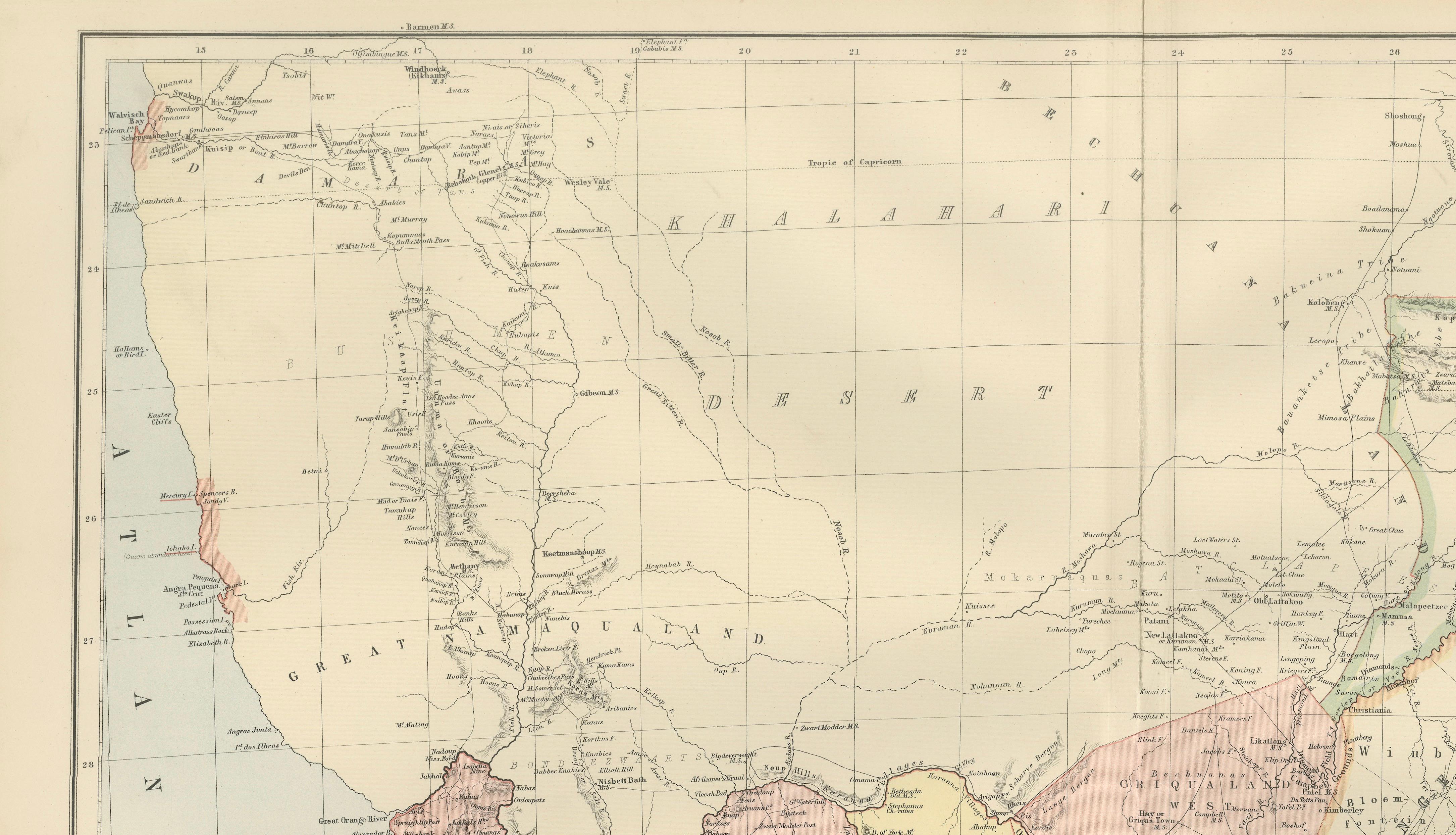
The map illustrates the southern region of the African continent during the late nineteenth century, a period marked by expanding European colonial influence and significant political change. The region includes the Cape Colony, Natal, the Orange Free State, and the South African Republic (Transvaal), as well as surrounding territories that would later form modern South Africa and neighboring countries.
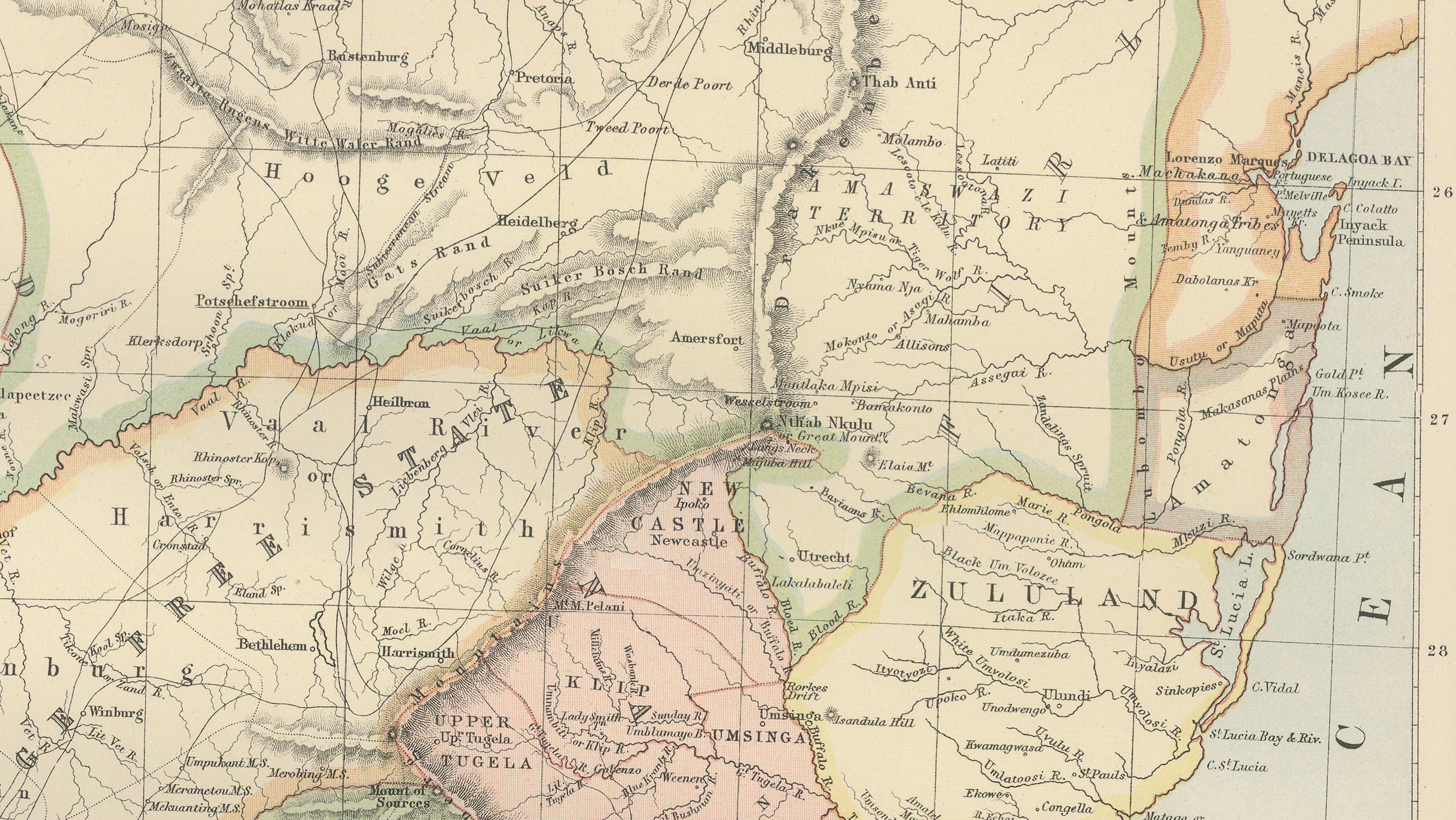
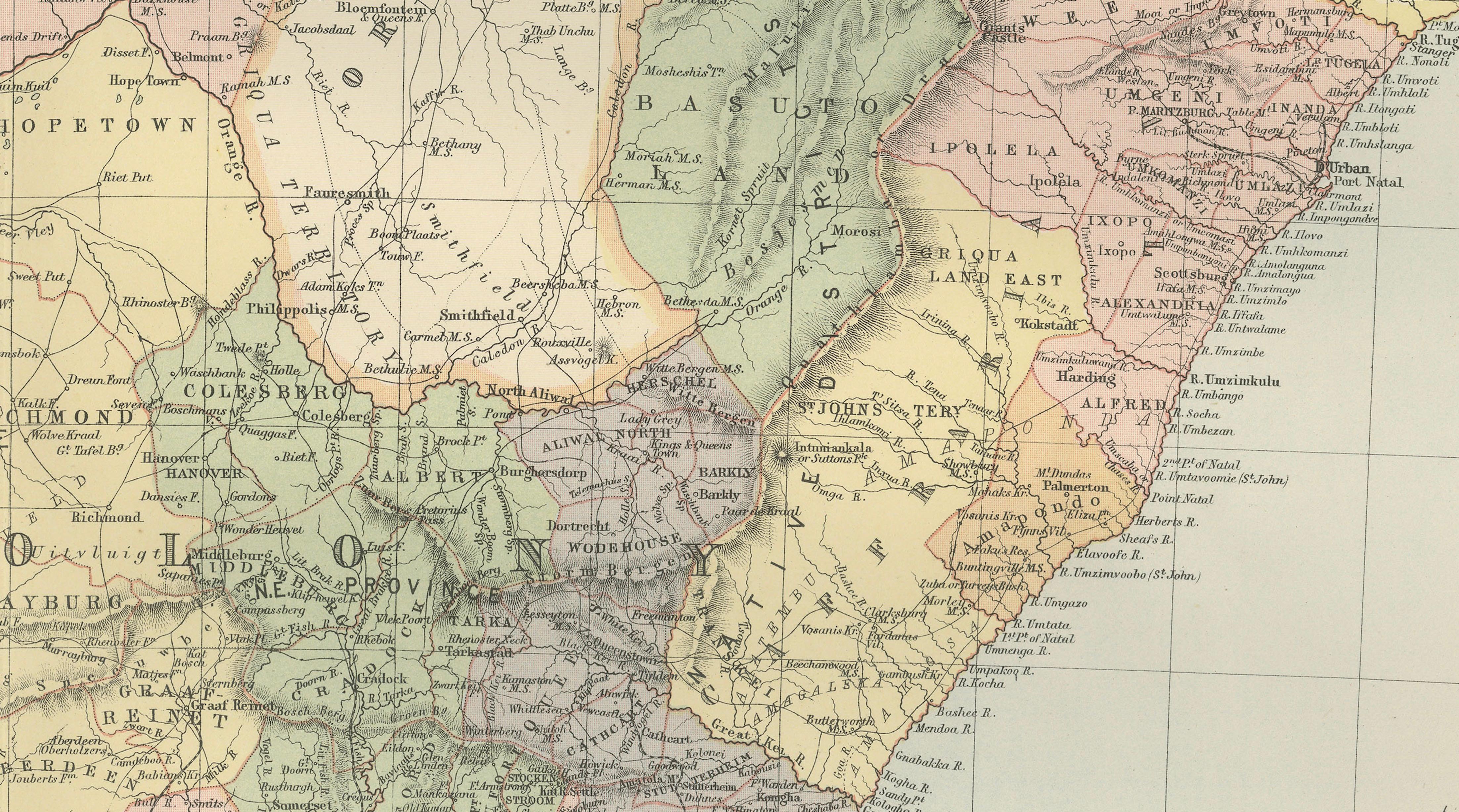
Political divisions are clearly distinguished through printed color and patterned overlays, revealing the complex political geography of the region before the formation of the Union of South Africa in 1910. The map shows the Cape Colony stretching along the southern and western coasts, while the independent Boer republics of the Orange Free State and the Transvaal occupy much of the interior. Natal appears along the eastern coast, bordering the Zulu territories.
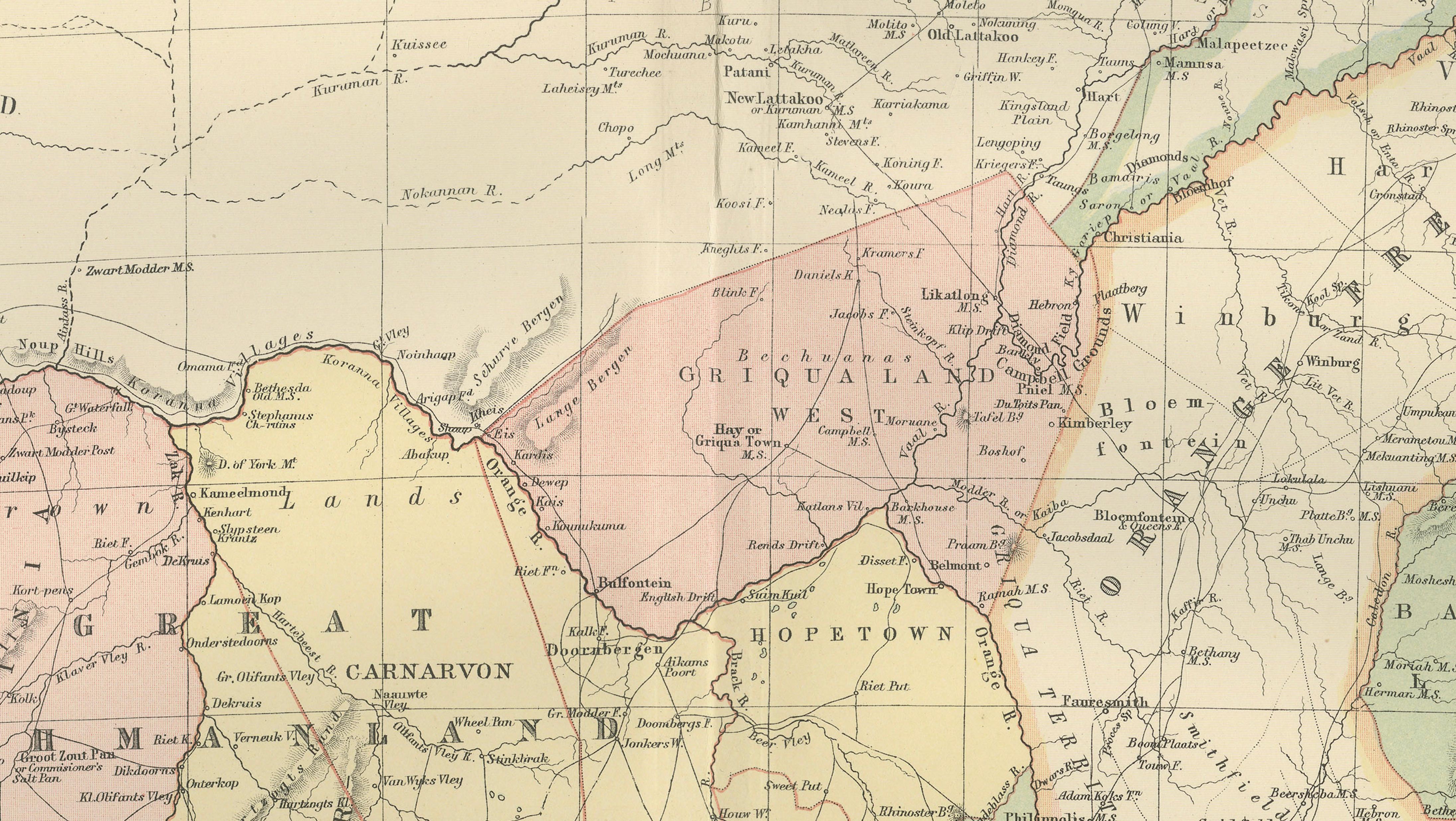
Major cities and settlements are carefully engraved throughout the map, including Cape Town, Port Elizabeth, Durban, Pretoria, and Kimberley. The diamond fields around Kimberley are particularly notable, as the discovery of diamonds in the 1860s transformed the economic and political importance of the region. Rivers, mountain ranges, and transportation routes are also shown in fine detail, illustrating the geographic features that shaped settlement and trade.
To the north, the map extends toward regions historically known as Bechuanaland and Matabeleland, while to the east the coastline along the Indian Ocean includes Portuguese territory in present-day Mozambique. The interior landscape is depicted with careful engraving of rivers, ridges, and plateaus, reflecting the expanding geographic knowledge of the region during the nineteenth century.
Because it originates from one of the most respected Victorian atlases, the map combines scholarly geographic detail with a refined decorative appearance. The crisp engraving and printed color give the map both historical significance and visual appeal, making it an excellent example of nineteenth-century African cartography.
This map is a compelling addition for collectors of antique maps, historians of colonial Africa, or interior designers seeking a striking geographic piece for a study, office, or library.
Condition:
Very good antique condition. Light age toning and minor handling wear consistent with age. Original center fold visible as issued in the atlas. The printed colors remain clear and well preserved.
Framing tips:
This map frames beautifully with a generous ivory or museum-white mat and a dark walnut or ebonized frame. Its wide horizontal composition works particularly well above desks, consoles, or in library interiors where antique maps create an elegant visual focal point.
Technique: engraving with printed color
Maker: J. Bartholomew for A. & C. Black, Edinburgh, 1884
Keywords
South Africa, antique map South Africa, South Africa map 1884, Bartholomew map South Africa, Black’s General Atlas, Cape Colony map, Natal map, Orange Free State map, Transvaal map, Boer republics map, colonial South Africa map, historical map South Africa, Victorian map Africa, Cape Town, Pretoria, Durban, Kimberley, Port Elizabeth, Zulu territory, Bechuanaland, Matabeleland, Mozambique, Indian Ocean, Atlantic Ocean, African cartography, 19th century map Africa