Maps & PrintsBartele Gallery · Langweer
Home / Antique Maps / Asia / West Asia & the Holy Land

West Asia & the Holy Land · 19th century

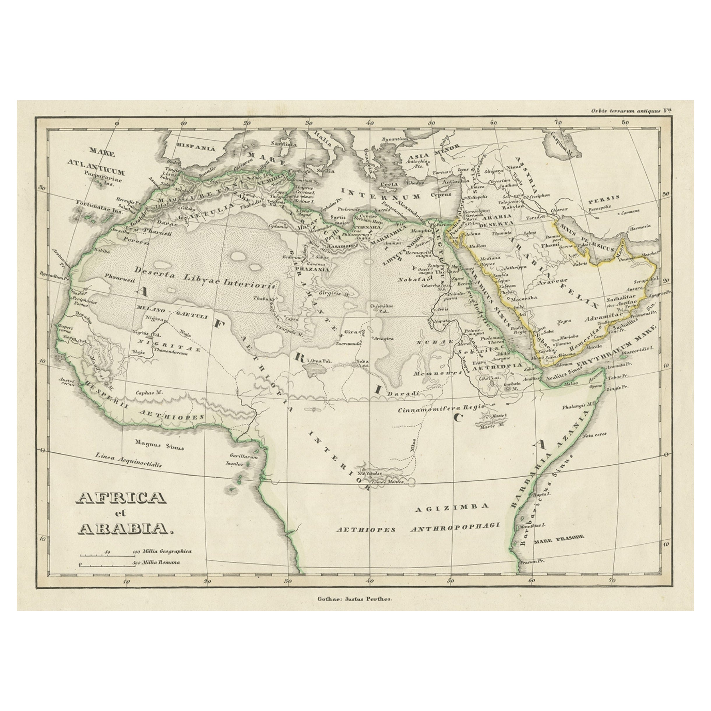
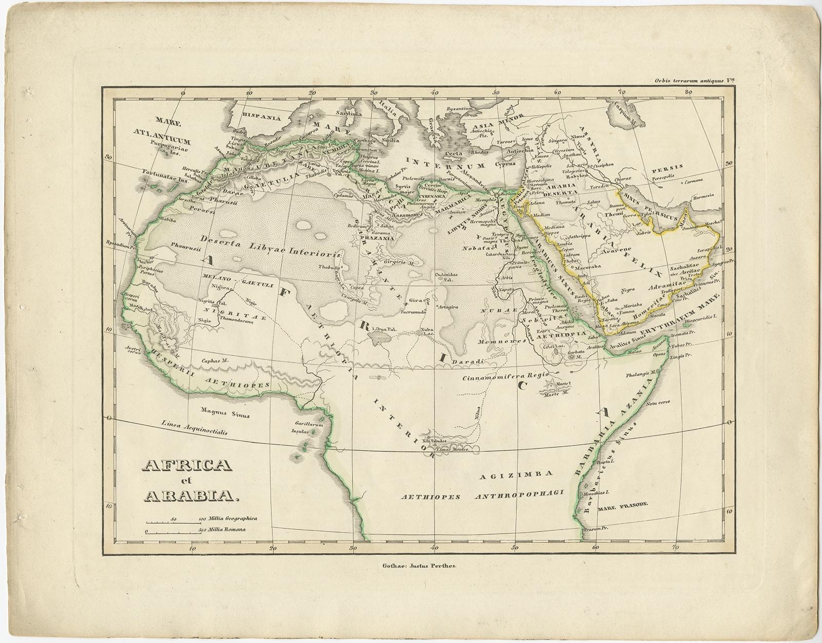
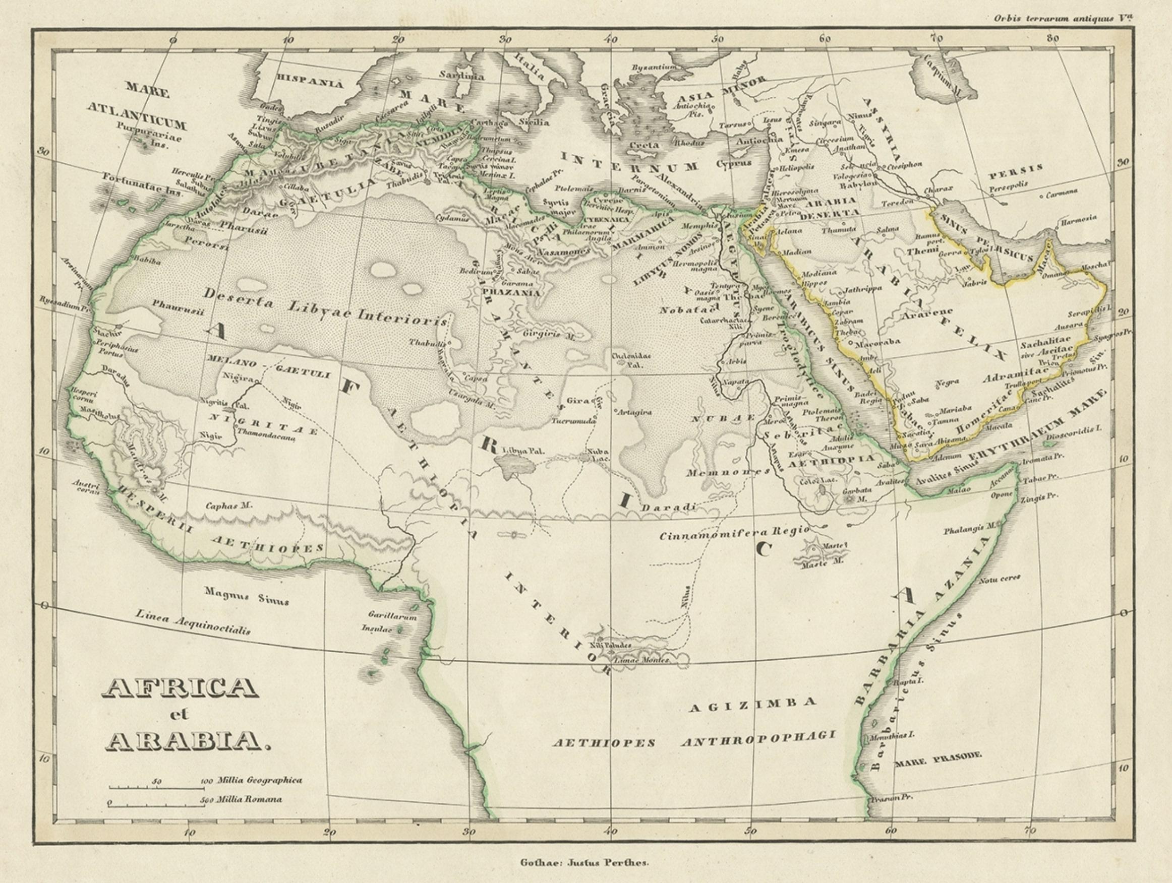
Old Original Map of Africa and Arabia, 1848

€ 130

Original antique · The actual sheet photographed · Certificate of authenticity on request · Sold unframed · Worldwide shipping from € 15 (rates)

Date
1848
Sheet size
25 × 31.8 cm (9.8 × 12.5 in)
Condition
Good
Reference
BG-11845-9

About this sheet

Antique map titled 'Africa et Arabia'.

Old map of Africa and Arabia originating from 'Orbis Terrarum Antiquus in usum Scholarum'.

Artists and Engravers: Published by Justus Perthes, 1848.

Condition: Good, general age-related toning. Minor defects, please study image carefully.

More from West Asia & the Holy Land

Ask about this sheet

Old Original Map of Africa and Arabia, 1848
1848 · Ref. BG-11845-9 · € 130
We reply by email, usually within one working day.