About this sheet
Egypt & Abyssinia – Nile Valley and Horn of Africa Maps, c.1817–1820
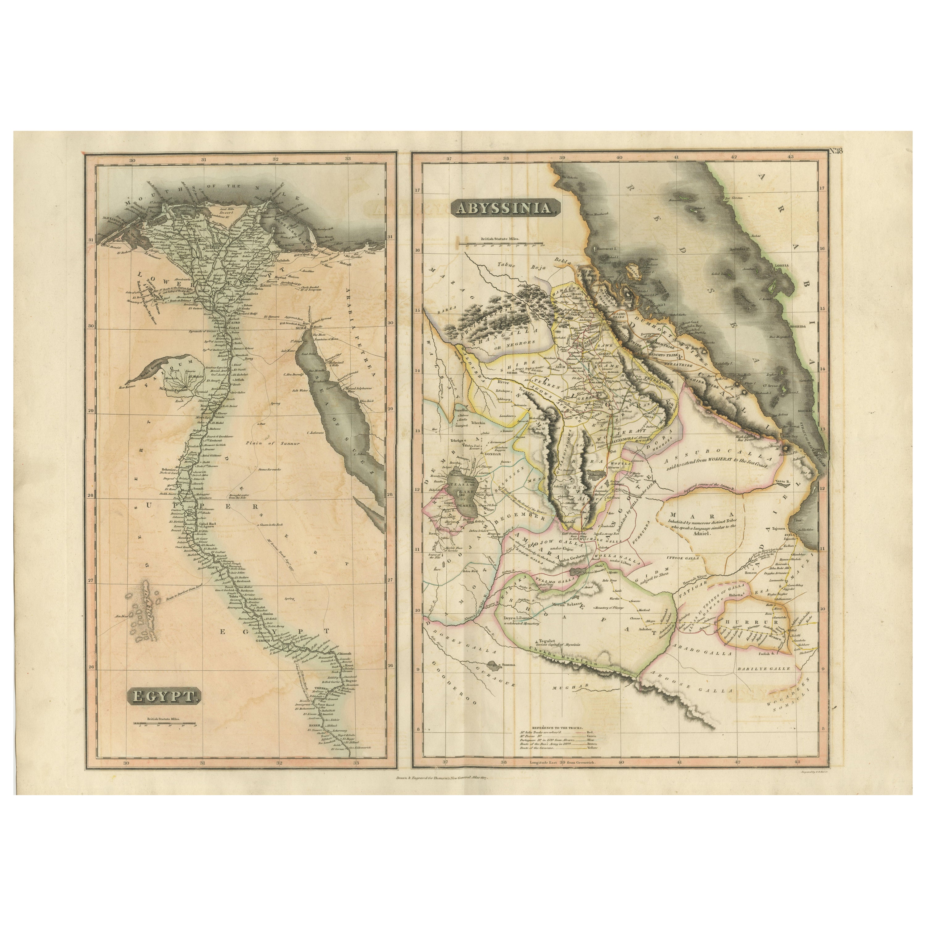
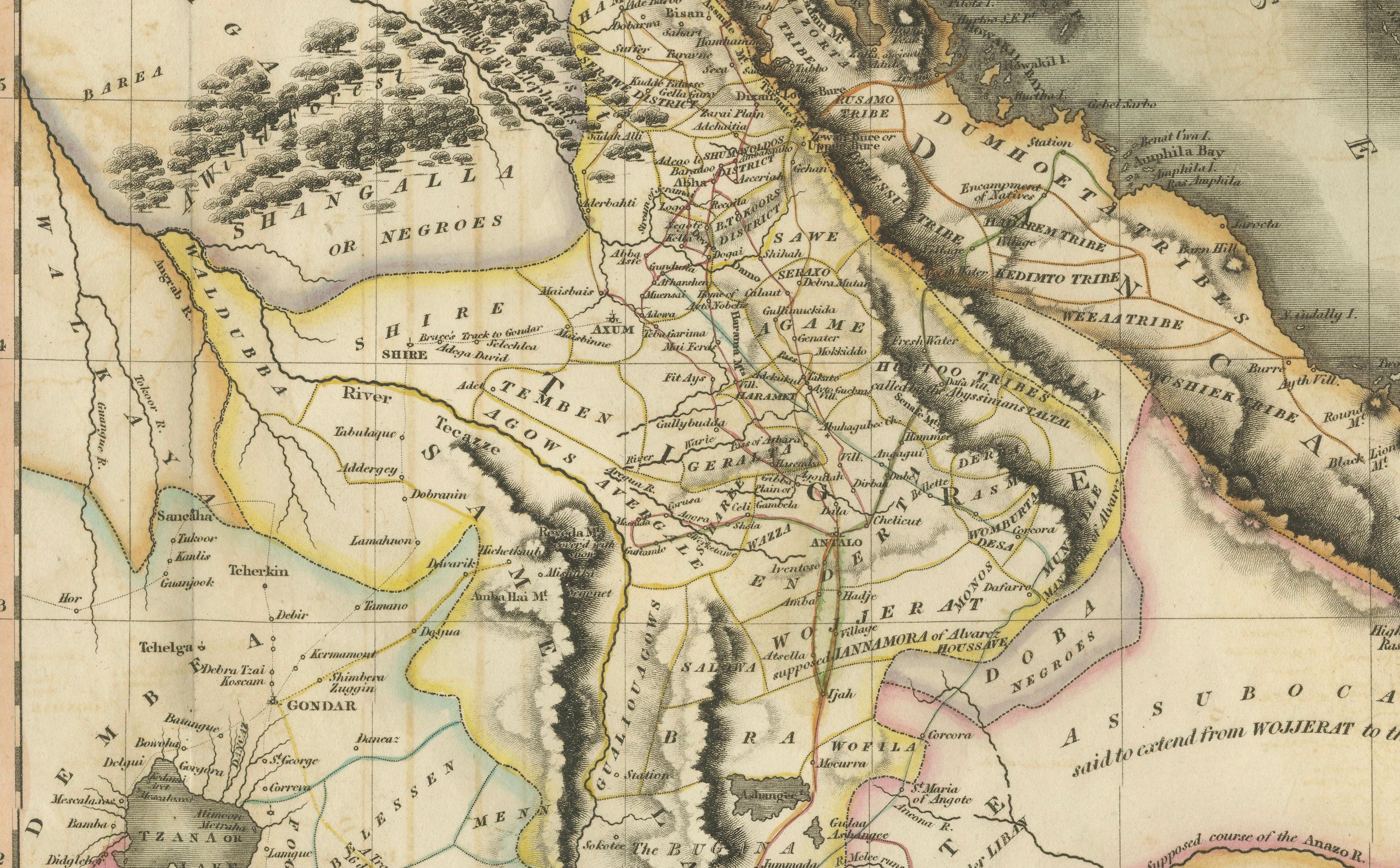
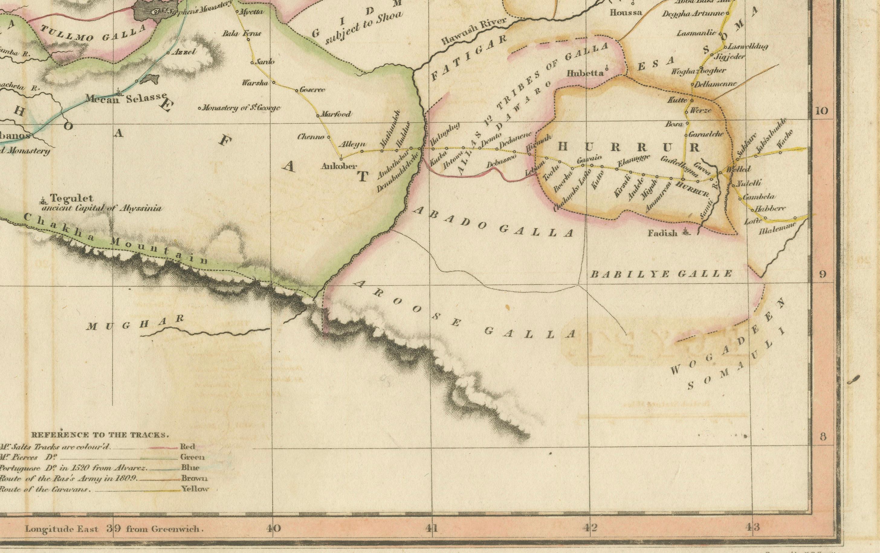
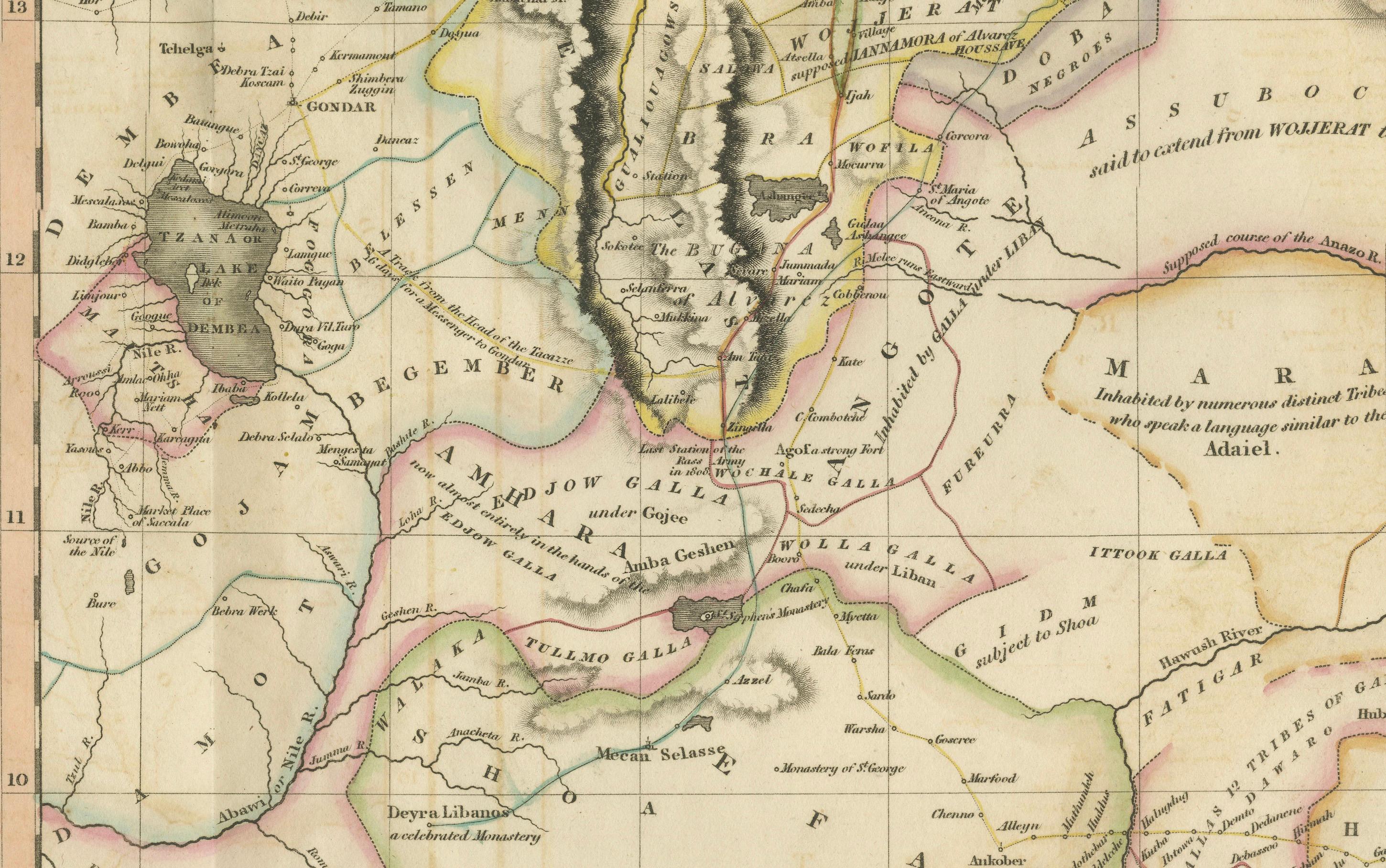
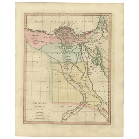
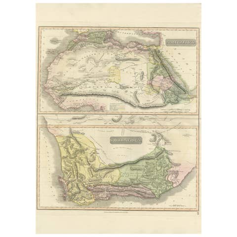
This refined early 19th-century map composition presents two related geographic views of Northeast Africa: Egypt with the full course of the Nile River, and Abyssinia (Ethiopia) with the Horn of Africa and Red Sea coast. Issued as companion maps circa 1817–1820, the sheets offer a clear and elegant overview of one of the most historically and geographically significant regions of Africa.
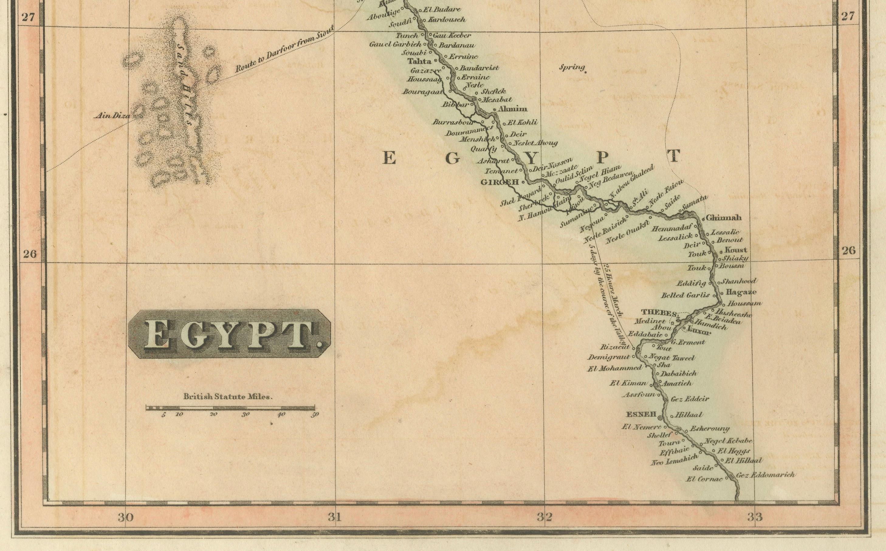
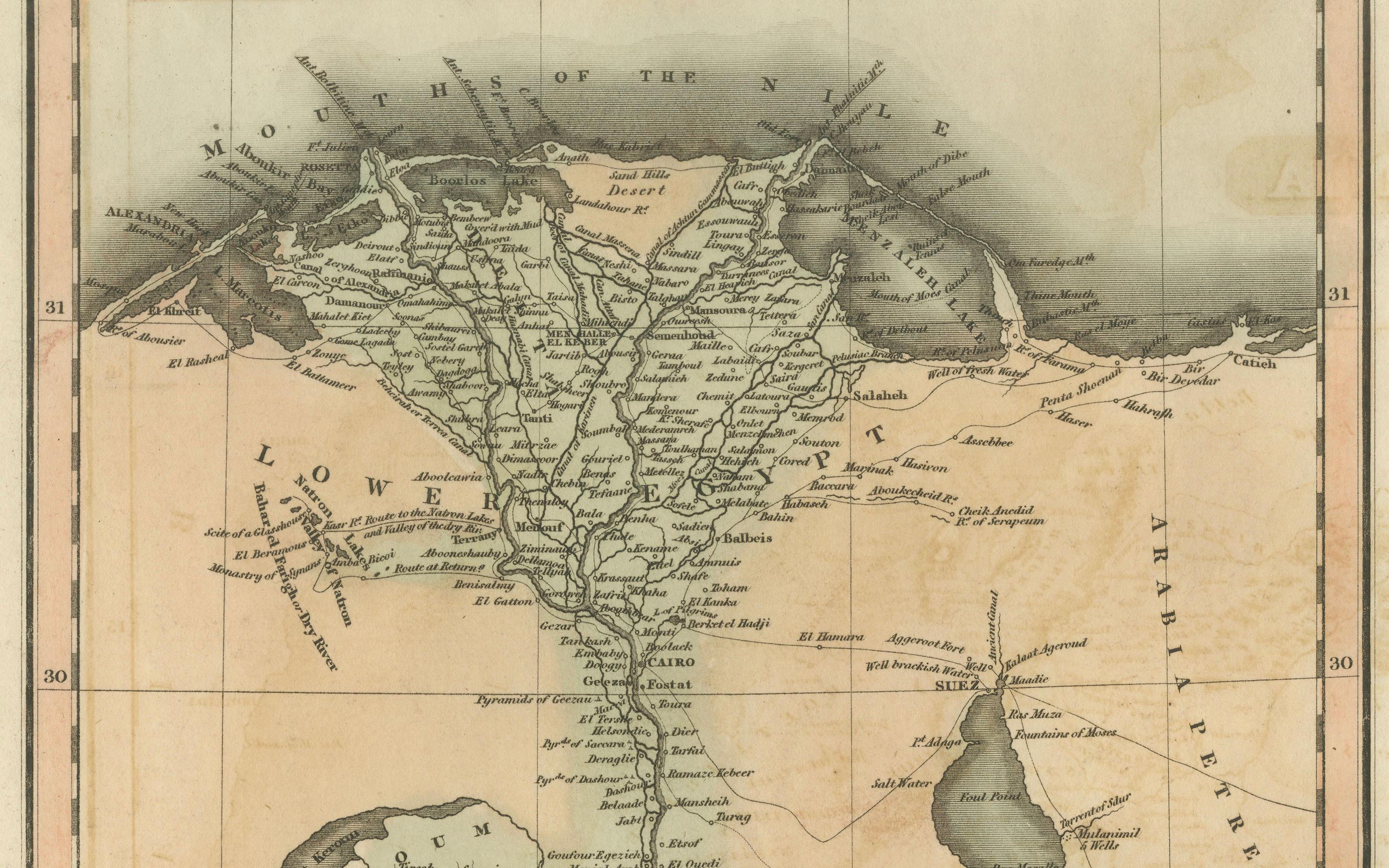
The Egypt map focuses on the Nile Valley from the Mediterranean Delta southward into Upper Egypt, emphasizing the river’s role as the organizing axis of settlement, agriculture, and civilization. Cities, river branches, desert regions, and historic sites are carefully engraved, creating a calm vertical composition that highlights the Nile’s uninterrupted flow through the landscape.
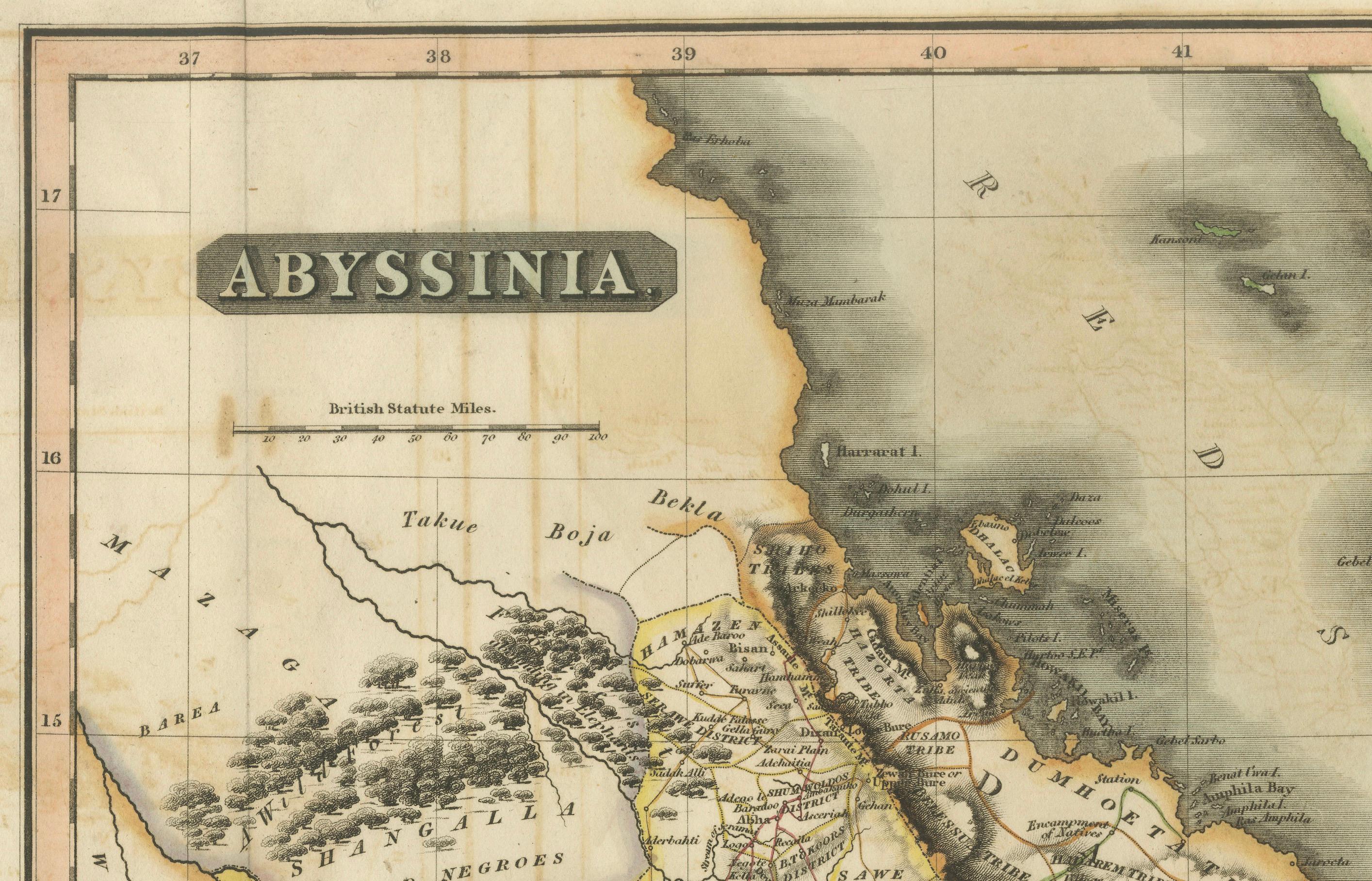
The Abyssinia map complements this view by presenting Ethiopia and the Horn of Africa, including the Red Sea coastline, inland mountain ranges, river systems, and regional boundaries. Political divisions are delicately outlined in contemporary hand color, distinguishing provinces and neighboring territories while maintaining visual clarity. Together, the two maps provide a balanced perspective on the Nile’s sources, surrounding highlands, and the broader Northeast African context.
The engraving style is clean and legible, characteristic of early 19th-century British atlas cartography, combining scientific precision with restrained elegance. Subtle hand coloring enhances coastlines and borders without overpowering the geography. When viewed together, the tall vertical Egypt map and the more compact Abyssinia map create a visually pleasing contrast that works exceptionally well for interior display.
This paired presentation appeals to collectors of African cartography, Nile history, and Ethiopian history, while also offering strong decorative value for both classic and contemporary interiors. Displayed side by side, the maps form a coherent and visually harmonious statement piece.
Condition report
Good condition overall. Central vertical folds as issued. Light age toning and some mild discoloration, more noticeable on the Egypt sheet. Minor scattered spots and light handling marks. Original outline hand color. Plate marks visible. Margins intact.
Framing tips
These maps work beautifully framed as a pair. Use matching off-white or light sand-colored mats to unify the presentation while allowing each map to breathe. Medium to dark wood frames or softly ebonized frames enhance the engraved detail and create a refined, gallery-ready appearance suitable for residential or hospitality interiors.
Technique: Copper engraving with contemporary outline hand color
Maker: British school (Thomson), c.1817