Maps & PrintsBartele Gallery · Langweer
Home / Antique Maps / Africa

Africa · 19th century

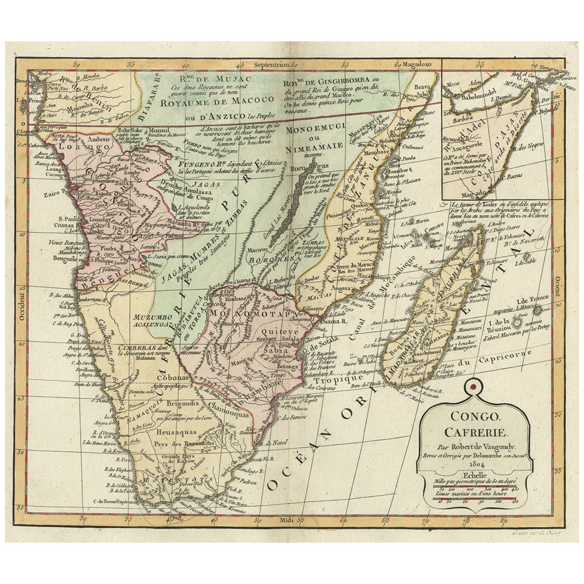
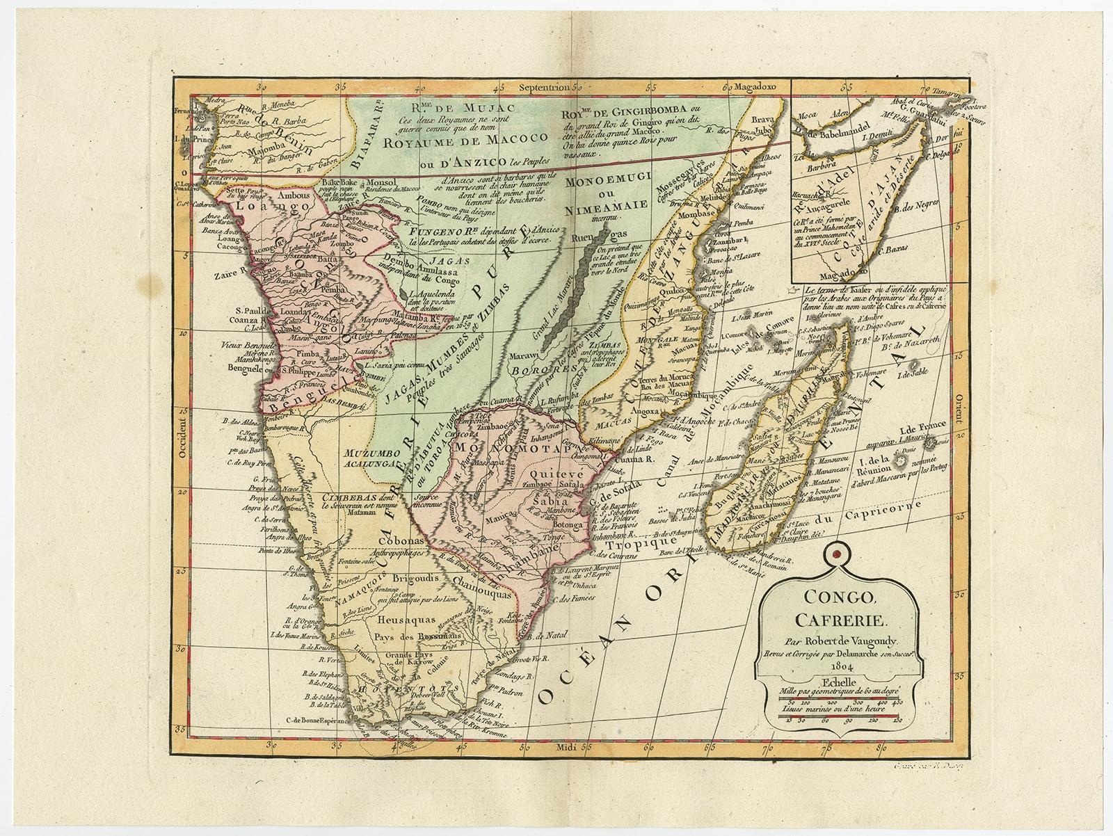
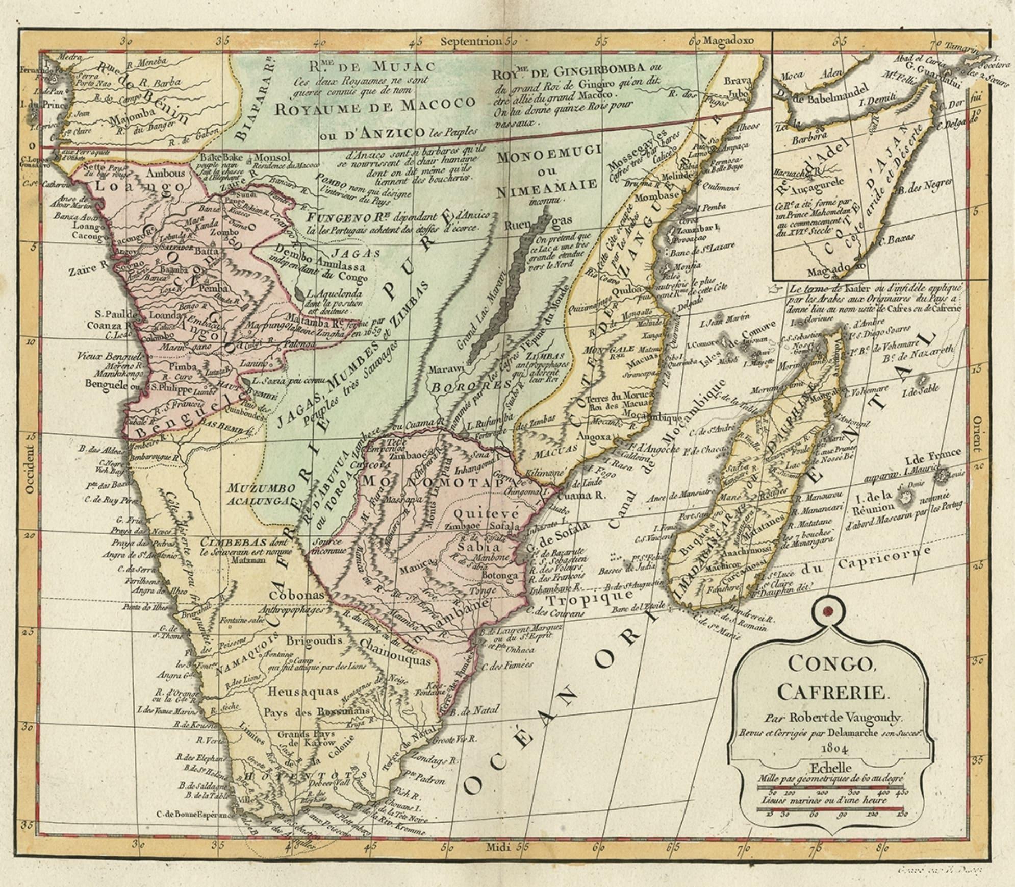
Decorative Antique Map of the Southern Part of Africa, 1806

€ 560

Original antique · The actual sheet photographed · Certificate of authenticity on request · Sold unframed · Worldwide shipping from € 15 (rates)

Date
1806
Sheet size
29 × 38.5 cm (11.4 × 15.2 in)
Condition
Good
Reference
PCT-61670

Condition

Given age. A few spots in the margins. Slight discolouration near upper middle fold. Minor paper separation lower middle fold; reinforced on verso. Original middle fold as issued. General age-related toning.
About this sheet

Antique map titled 'Congo, Cafrerie.'

Decorative map of the southern part of Africa by Robert de Vaugondy, revised and published by Delamarche. Source unknown, to be determined.

Artists and Engravers: Charles Francois Delamarche (1740-1817) founded the important and prolific Paris based Maison Delamarche map publishing firm in the late 18th century. A lawyer by trade Delamarche entered the map business with the acquisition from Jean-Baptiste Fortin of Robert de Vaugondy's map plates and copyrights and later addes many plates from other sources as well. Charles Delamarche eventually passed control of the firm to his son Felix Delamarche (18th C. - 1st half 19th C.) and geographer Charles Dien (1809-1870). It was later passed on to Alexandre Delamarche, who revised and reissued several Delamarche publications in the mid-19th century. The firm continued to publish maps and globes until the middle part of the 19th century.

More from Africa

Ask about this sheet

Decorative Antique Map of the Southern Part of Africa, 1806
1806 · Ref. PCT-61670 · € 560
We reply by email, usually within one working day.