Antique Maps of Africa
30 original sheets
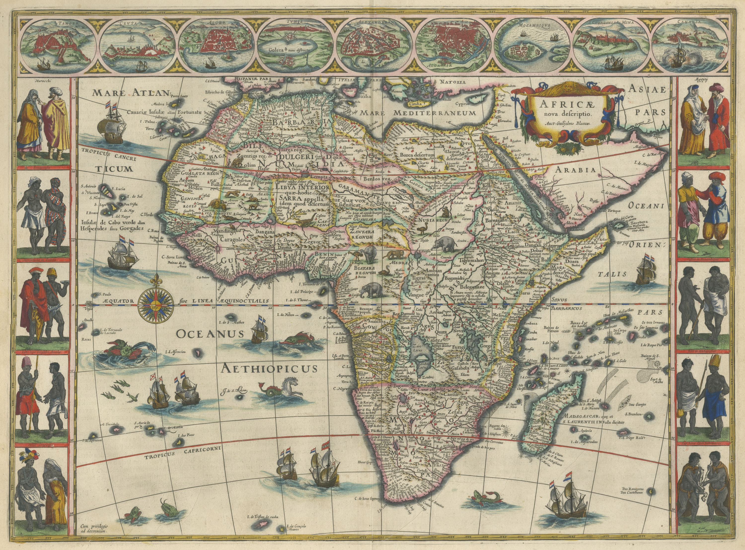
Antique Blaeu Map of Africa, Madagascar and the Barbary Coast, 1642
1642 · € 5 500
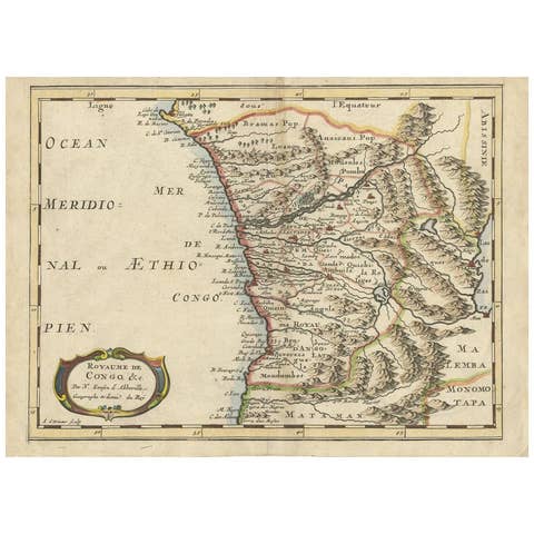
Antique Map of the Congo, Gabon and Angola by N. Sanson, circa 1700
1700 · € 259

Antique Map of Western Africa and the Cape Verde Islands by Coronelli, 1691
1691 · € 900
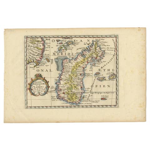
Antique Map of Madagascar by N. Sanson, circa 1680
1680 · € 250

Antique Map of Africa by Janssonius, Rare Paneled Print, Circa 1655
1655 · € 3 000

Antique Map of Madagascar by Mariette 'c.1670'
1670 · € 750
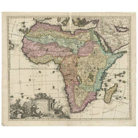
Original Antique Hand- Map of Africa by Allard '1697'
1697 · € 1 500

Rare Map of Six Coast Views and Anchorages of Sierra Leone and Indonesia, 1660
1660 · € 900
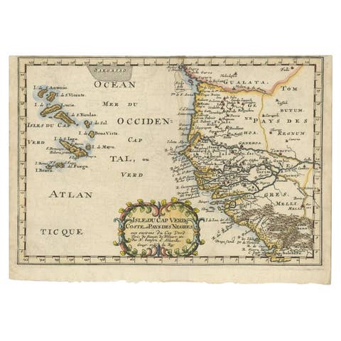
Antique Map of the West African Coast and the Cape Verde Islands, c.1680
1680 · € 360

Old Map of Ancient Times covering Egypt Towards Arabia and India to Java, c.1660
1660 · € 1 100
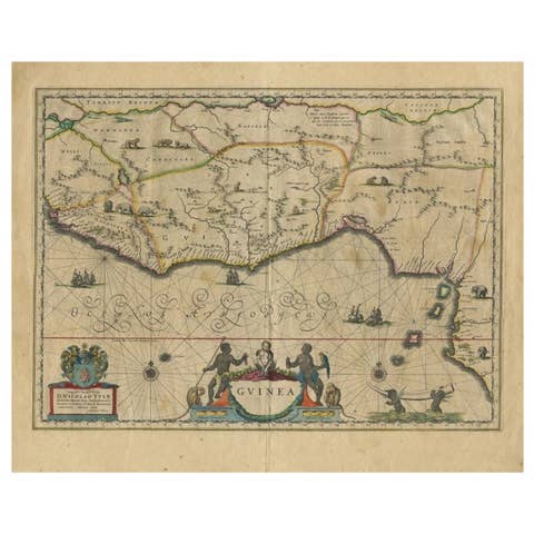
Antique Map of Guinea in West Africa by Blaeu, c.1638
1638 · € 550
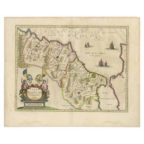
Antique Map of Morocco Showing Towns of Marakesh, Taradant and Fez, 1636
1636 · € 1 250
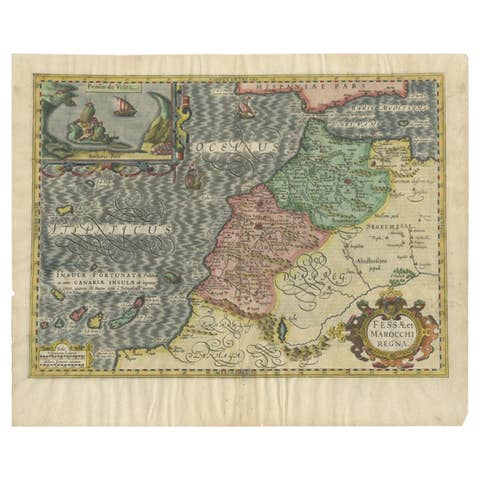
Old Map of Morocco, The Canary Islands, Madeira, Inset of Penon de Velez, 1605
1605 · € 1 250
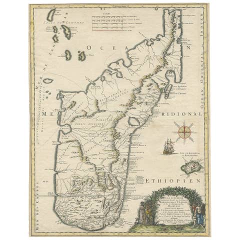
Beautiful Antique Map of Madagascar, The Comoros Islands & Reunion Island, 1667
1667 · € 910
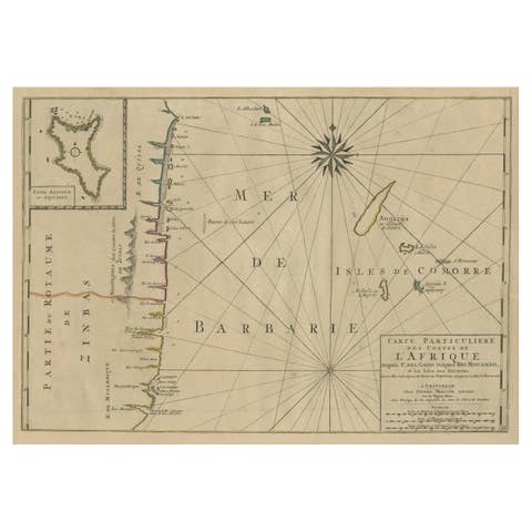
Map of the Mozambique and Tanzania Coast & Inset Map of Anjouan Island, ca.1700
1700 · € 640
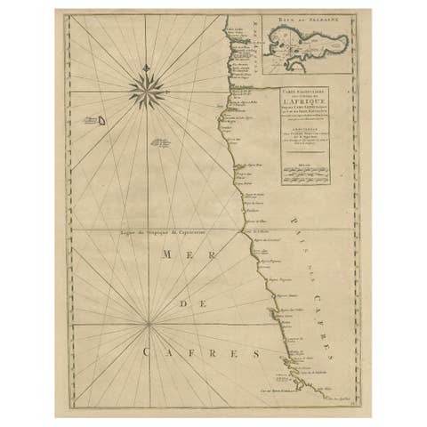
Old Map of the Namibia and South Africa Coasts & Inset of Saldanha Bay, ca.1700
1700 · € 640
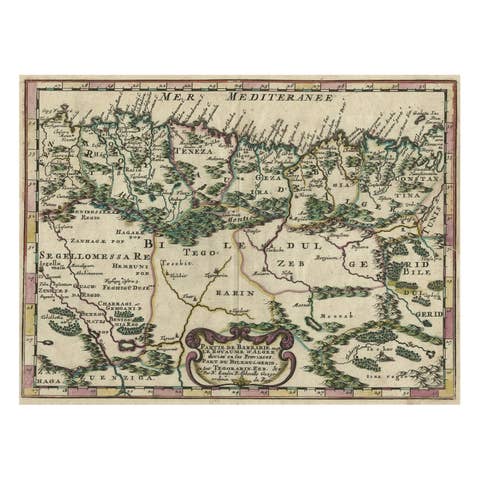
Copper-Engraved Map Showing the Algerian Coast of North Africa, Published 1683
1683 · € 340

Original Copperplate Engraved Detailed Map of South Africa, ca.1680
1680 · € 360

Antique Map of the Cape Verde Islands, Africa, ca.1670
1670 · € 660
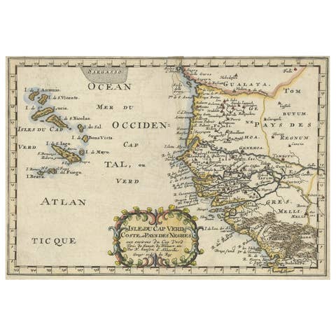
Antique Map of the Coast of Africa and the Cape Verde Islands, ca.1680
1680 · € 350
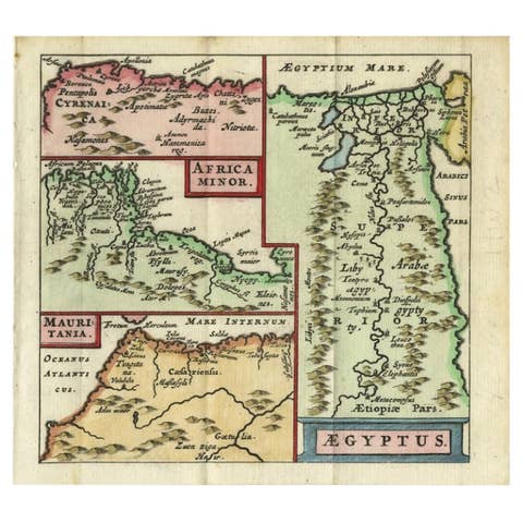
Antique Map of North Africa showing Egypt, Mauritania and Africa Minor, 1672
1672 · € 240

Rare Antique Map of 'Barbarie' or Northern Africa, 1655
1655 · € 172

Antique Map of the Cape Verde Islands and Part of Senegal, West Africa, 1690
1690 · € 870
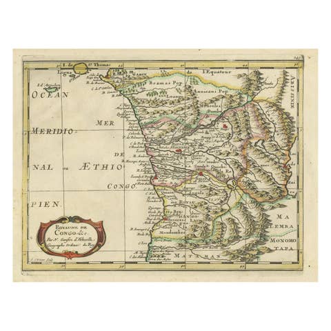
Antique Map of Gabon, Angola and the Congo Region in Africa c.1680
1680 · € 340
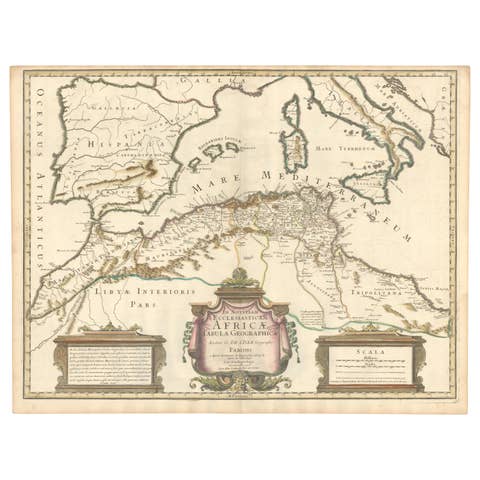
1700 Guillaume Delisle Map: Western Mediterranean & Moorish North Africa
1700 · € 910
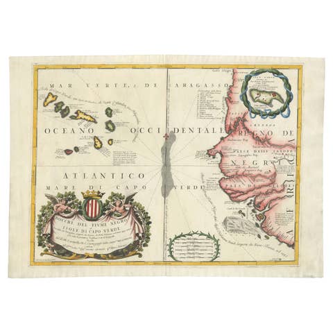
Map of Cape Verde and the Mouth of the River Niger by Coronelli, 1691
1691 · € 1 060
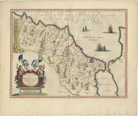
Antique Map Morocco Fez & Marrakesh, Blaeu Map, Hand-Colored c.1642
1642 · € 4 500
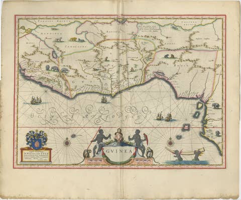
Antique Guinea Map, West Africa – Blaeu c.1642, Ships, Animals
1642 · € 4 500

Antique Ethiopia Abyssinia Map Blaeu c.1642 – Nile, Figures, Cartouche
1642 · € 5 250
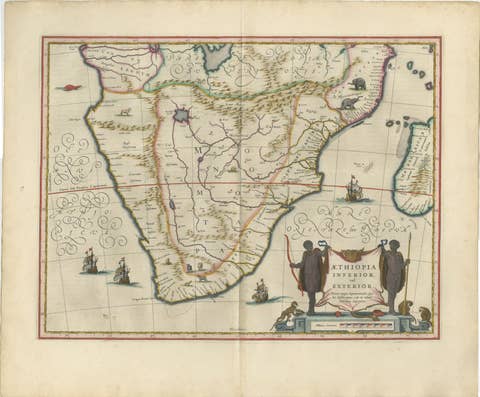
Antique South Africa Map Blaeu c.1642 – Cape of Good Hope, Ships
1642 · € 5 250