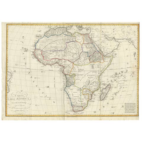
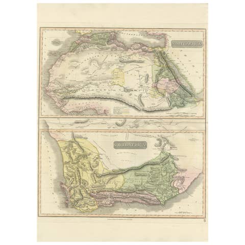
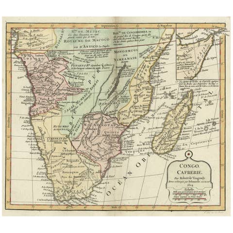
About this sheet
Egypt and Abyssinia – Nile Valley & Horn of Africa Maps, c.1817–1820
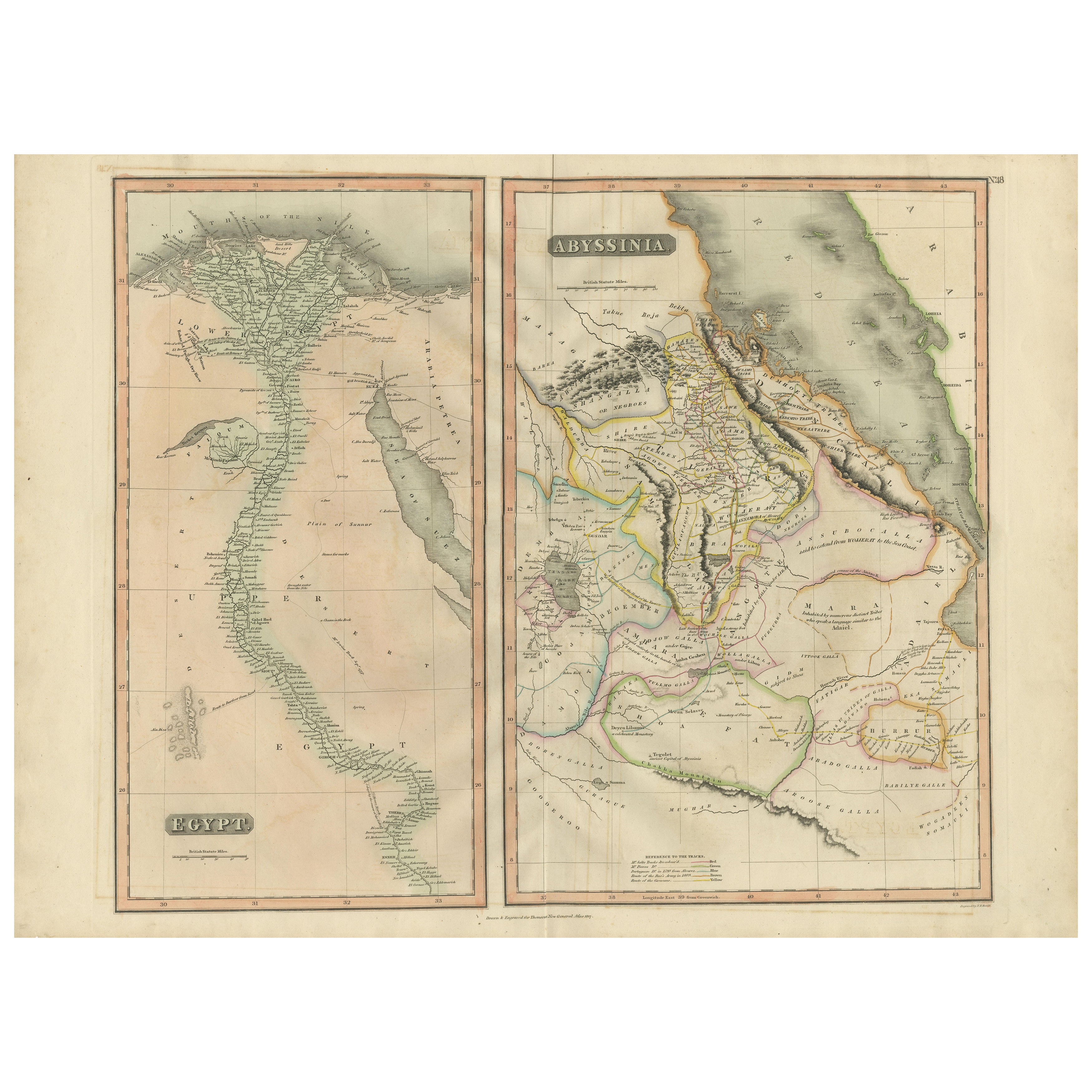


This refined early 19th-century paired map presents Egypt and Abyssinia (Ethiopia) as two complementary geographic studies, issued circa 1817–1820 during a period of renewed European scientific and political interest in Northeast Africa. Together, the maps offer a coherent and visually balanced view of the Nile Valley and the Horn of Africa.
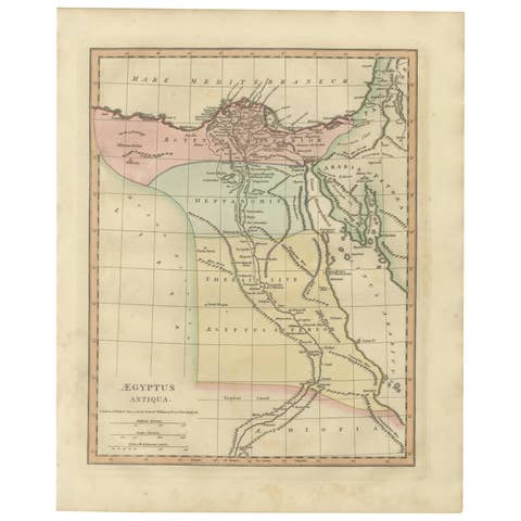
The Egypt map is conceived as a tall vertical composition following the full course of the Nile from the Mediterranean Delta southward through Upper Egypt toward Nubia. Cities, river branches, cataracts, desert regions, and ancient sites are carefully engraved, emphasizing the Nile’s role as the structural and cultural backbone of Egyptian civilization. The elongated format gives the map strong architectural presence and makes it especially effective for wall display.
The Abyssinia map complements this view by depicting Ethiopia and the Horn of Africa, including the Red Sea coastline, inland highlands, river systems, and regional divisions. Contemporary outline hand color distinguishes political territories and neighboring regions while preserving clarity and balance. Together, the two maps place Egypt within its broader geographic and hydrological context, linking the Nile to the surrounding highlands and Red Sea world.
The engraving style is characteristic of early 19th-century British atlas cartography: precise, legible, and restrained. Subtle hand coloring enhances coastlines and borders without overpowering the detailed line work. Displayed side by side, the contrasting vertical and compact formats create a harmonious and scholarly composition with strong decorative appeal.
This pair is well suited to collectors of African cartography, Nile history, and Ethiopian history, while also offering excellent visual presence for both classic and contemporary interiors. Framed together, the maps form a balanced and intellectually engaging statement piece.
Condition report
Good condition overall. Central vertical folds as issued. Light age toning and mild discoloration consistent with period, slightly more noticeable on the Egypt sheet. Minor scattered spots and light handling marks. Original outline hand color. Plate marks visible. Margins intact.
Framing tips
Best framed as a pair using matching off-white or light sand-colored mats to unify the presentation. Medium to dark wood frames or softly ebonized frames enhance the engraving and give the pair a refined, gallery-ready appearance suitable for residential or hospitality interiors.
Technique: Copper engraving with contemporary outline hand color
Maker: British school, c.1817–1820