About this sheet
Geological Map of Africa by A.K. Johnston – Mountains and Valleys 1852
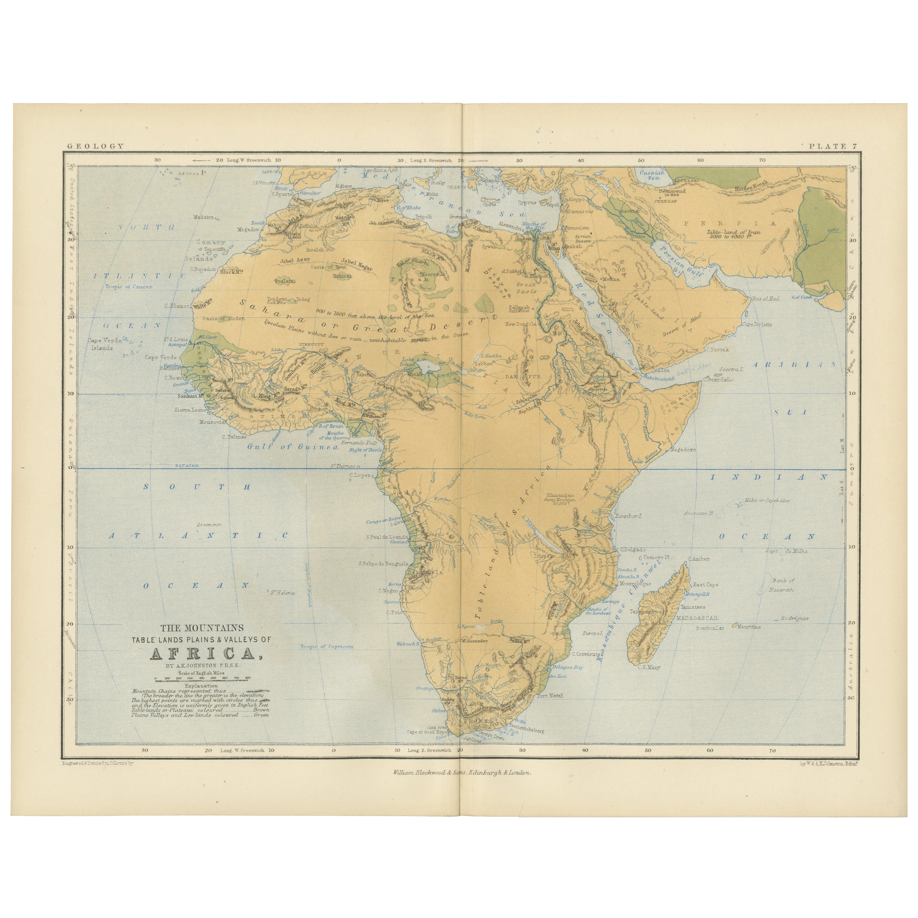
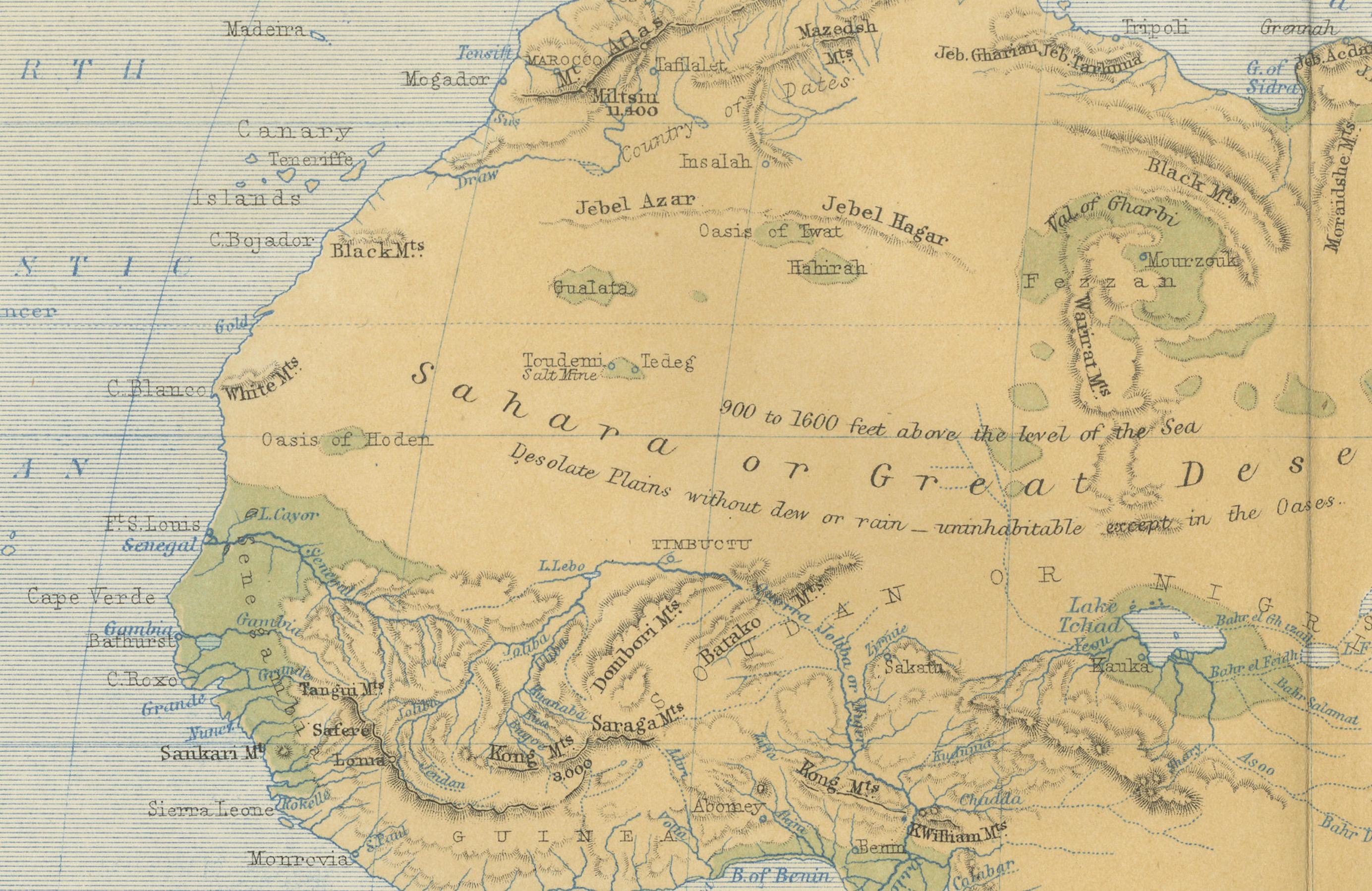
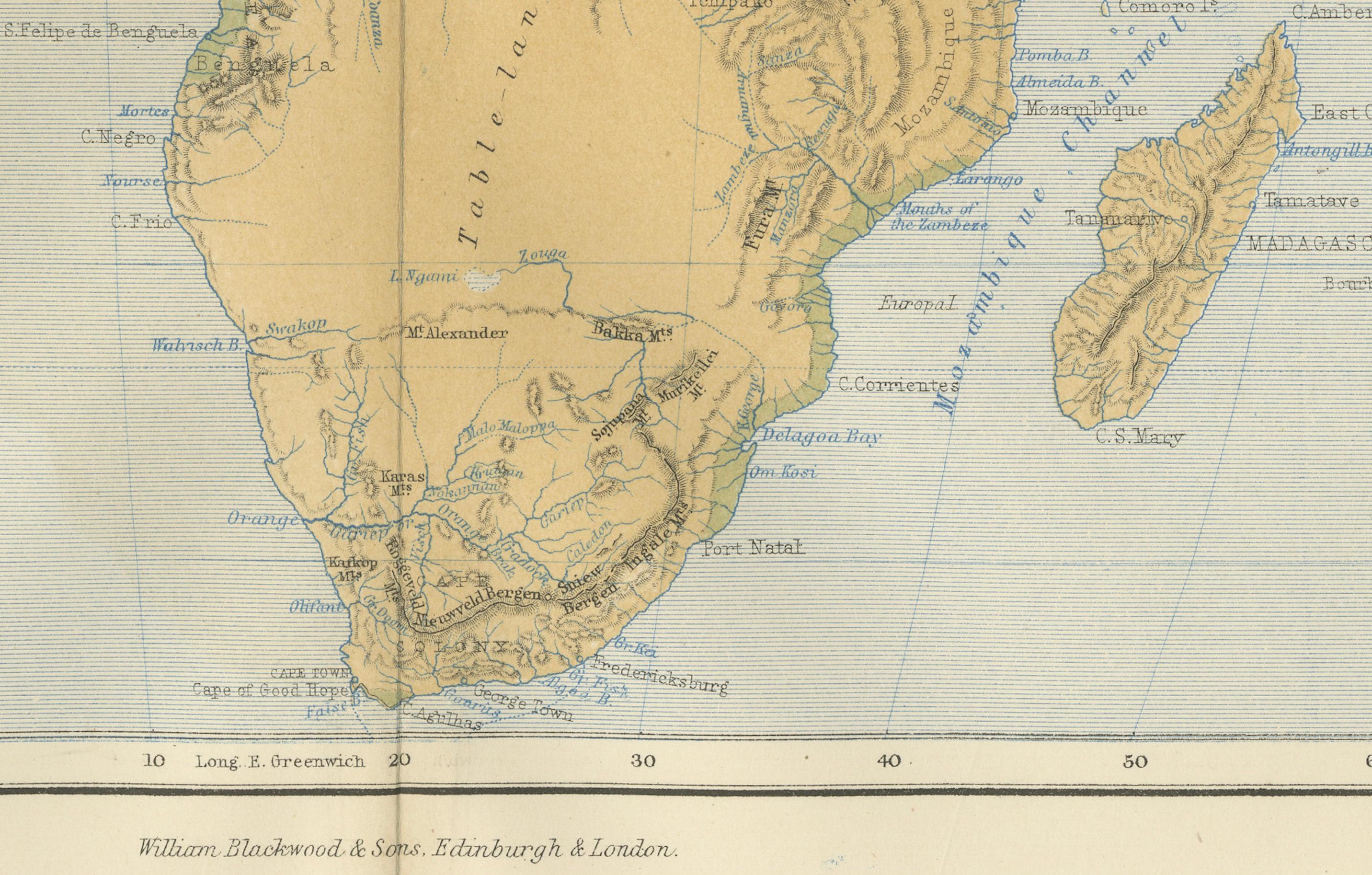
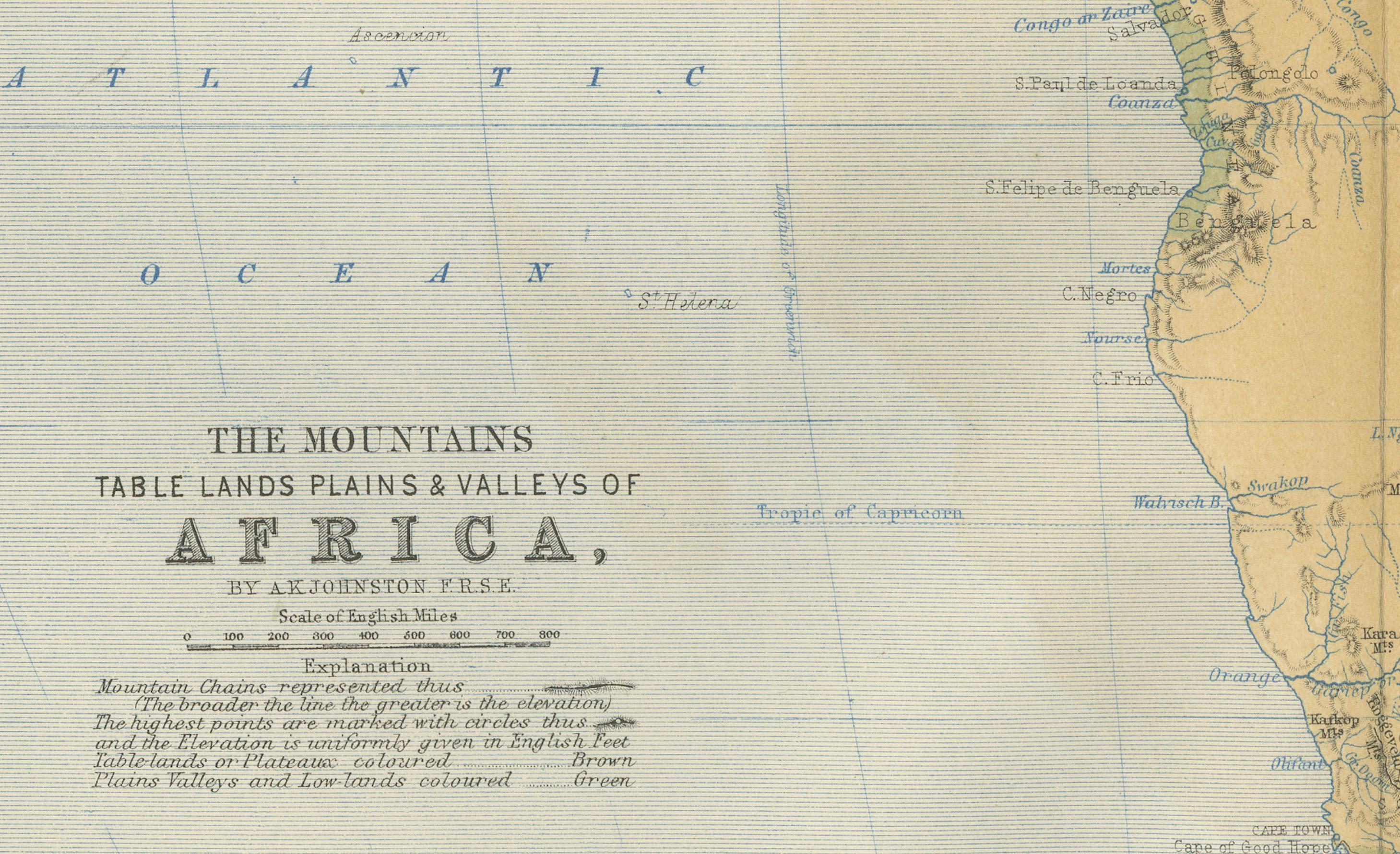
This antique map titled "The Mountains, Table Lands, Plains & Valleys of Africa" was produced by the distinguished Scottish cartographer Alexander Keith Johnston and published in 1852 by William Blackwood & Sons, Edinburgh and London. Issued as Plate 7 in Johnston’s seminal work *The Physical Atlas of Natural Phenomena*, it represents one of the earliest and most influential attempts to visualize Africa’s topography through scientific cartography.
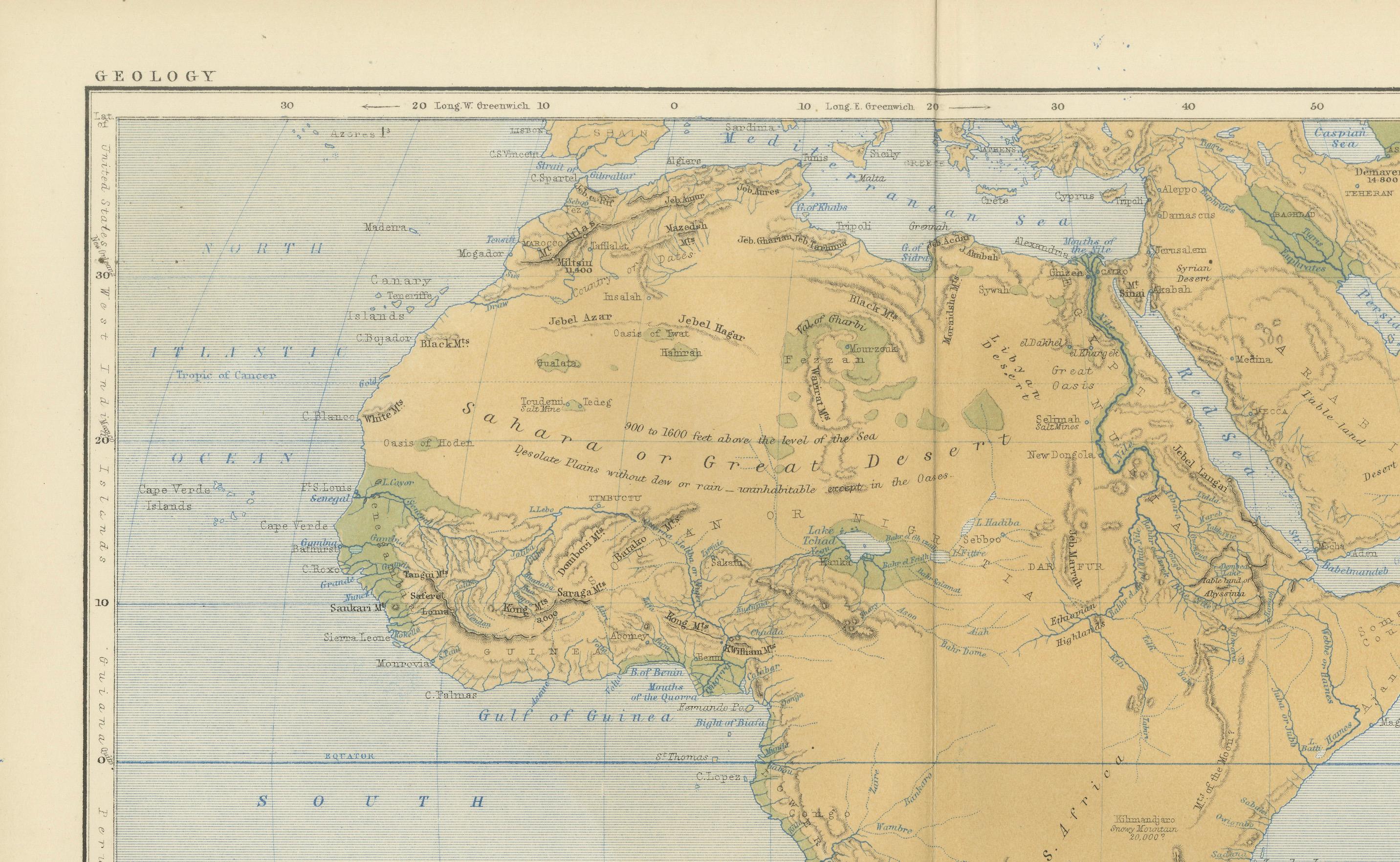
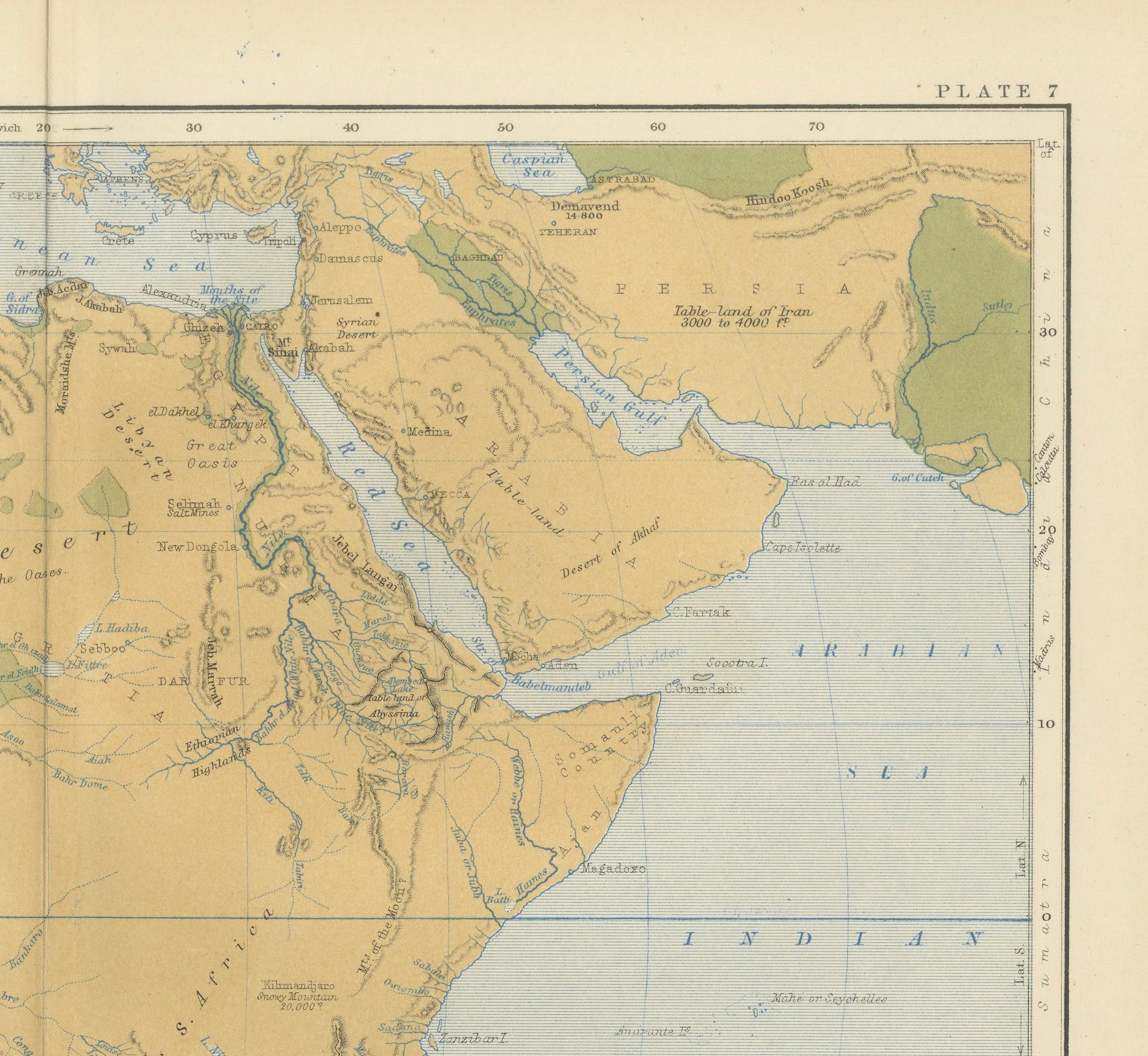
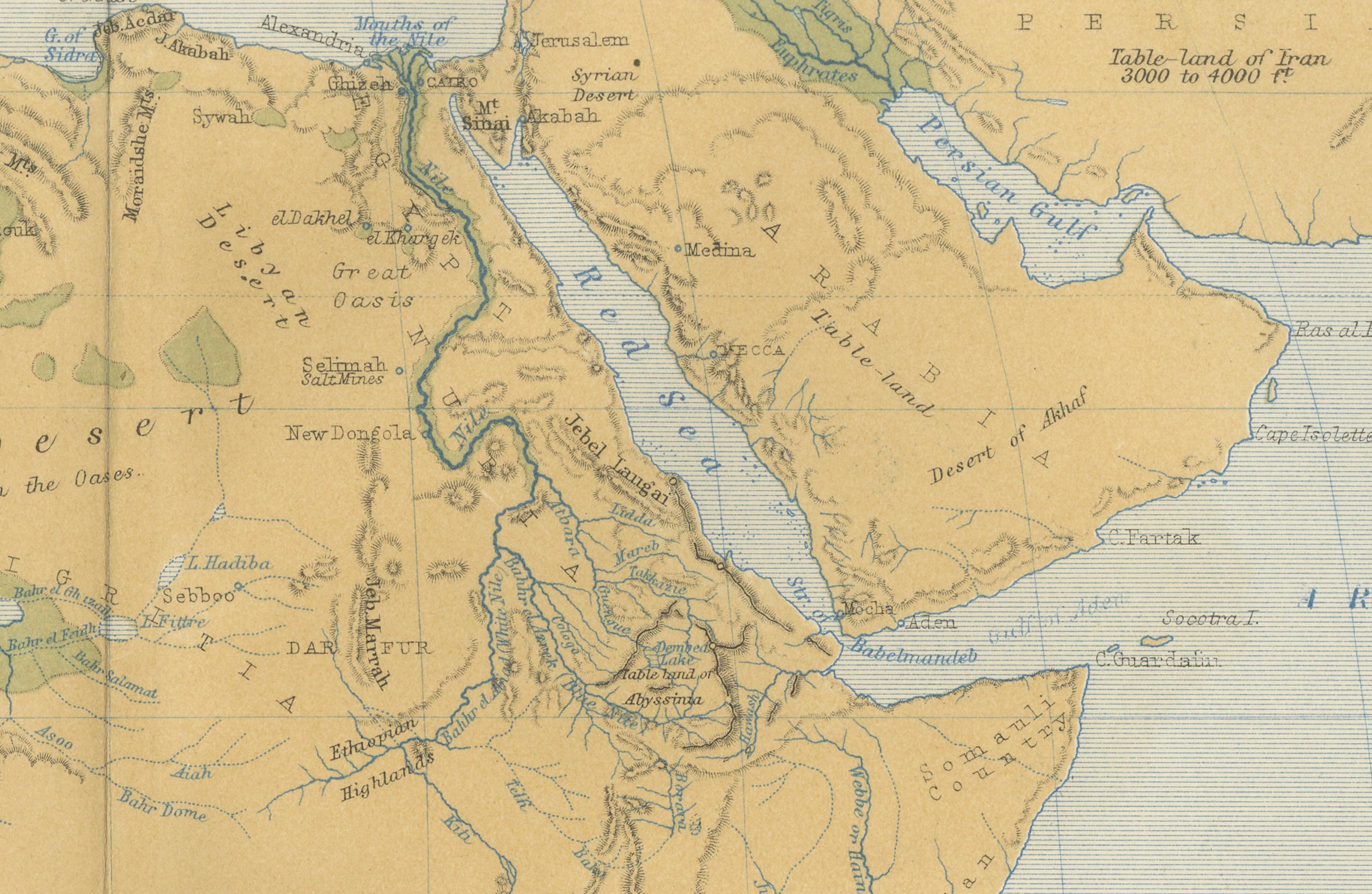
This map presents a detailed physical overview of the African continent, using subtle coloration and shading to depict mountain ranges, elevated tablelands, deserts, and low-lying river basins. Unlike political maps of the period, it forgoes country borders in favor of a focus on natural geography. Earth-toned shades indicate elevation—yellow and tan for deserts and plains, green for coastal lowlands, and brown for highlands and mountain systems.
Prominent physical features such as the Atlas Mountains, Ethiopian Highlands, the Mountains of the Moon, Table Mountain, the Sahara Desert, and the Great Rift Valley are clearly labeled. River systems including the Nile, Niger, Congo, and Zambezi are also traced with scientific accuracy. This map offers an insightful view of Africa's geologic and climatic structure before many interior regions had been fully charted by European explorers.
A.K. Johnston (1804–1871), who served as Geographer in Ordinary to Queen Victoria in Scotland, was a pioneer in thematic cartography. His *Physical Atlas* was the first of its kind to translate complex natural data into visual form, combining scientific precision with artistic presentation. This map stands out not only for its geographical value but for its restrained beauty and clarity—qualities that made Johnston’s atlases widely respected by scientists, educators, and collectors alike.
This print is a valuable addition to collections focused on African geography, scientific history, or antique educational material, and it remains aesthetically appealing for decorative use.
Condition and framing tips:
Very good condition with light age toning and faint edge wear. The engraved detail is sharp, and the original hand coloring remains clean and vivid. Frame in black or dark oak with a cream or soft sand-colored mat to highlight the warm earth tones and emphasize the elegant cartographic lines. Suitable for a library, office, or academic space.