About this sheet
Antique Map of Africa with Algeria Inset – Stieler Atlas 1858
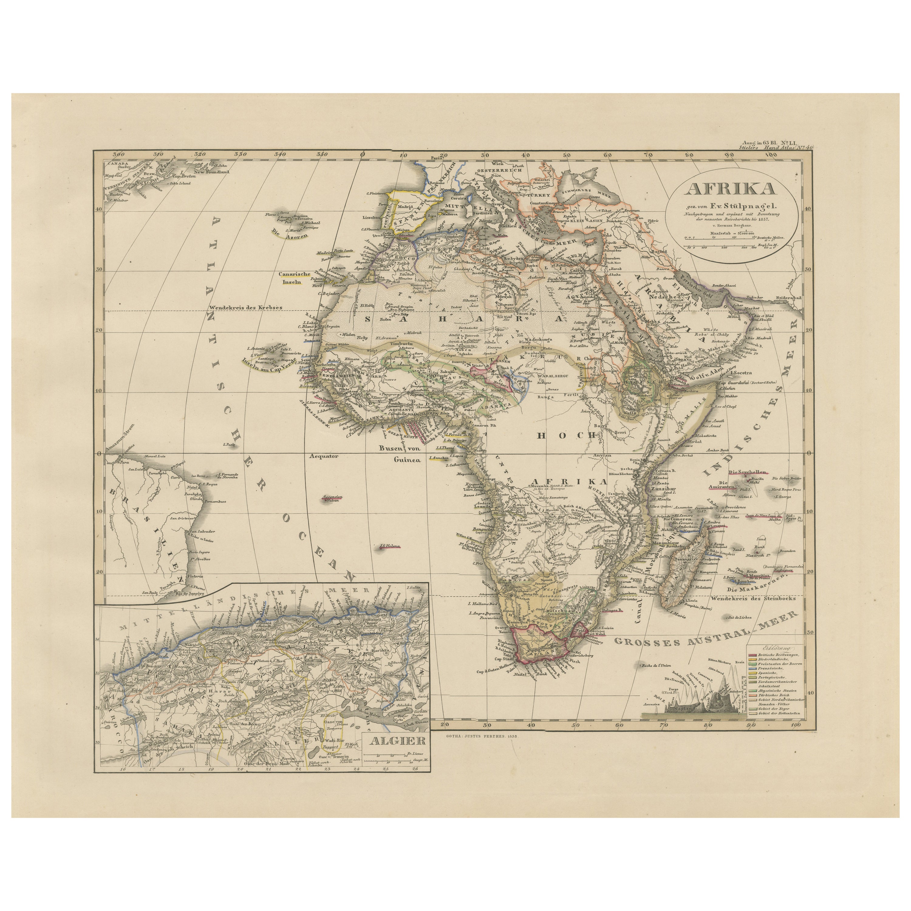
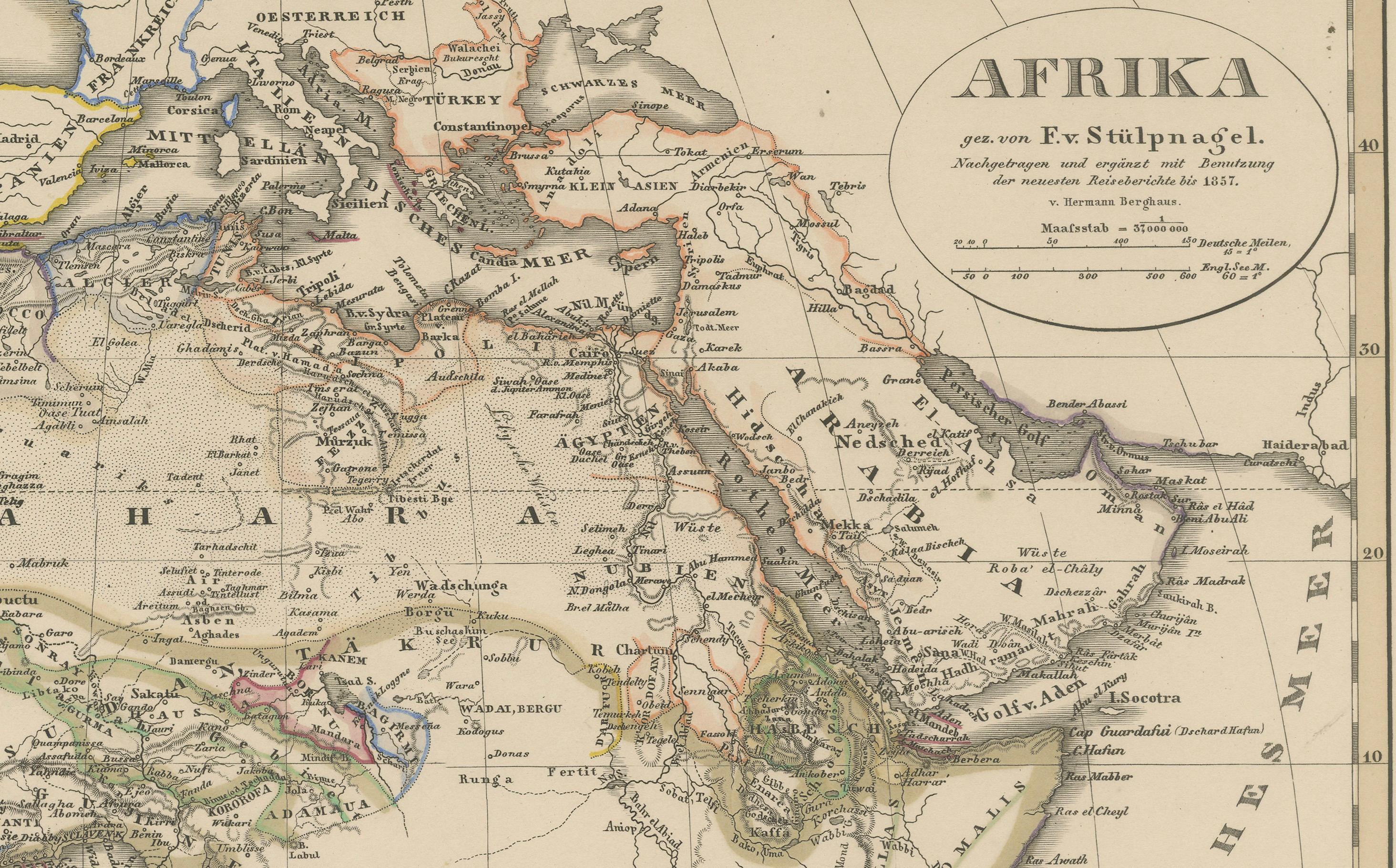
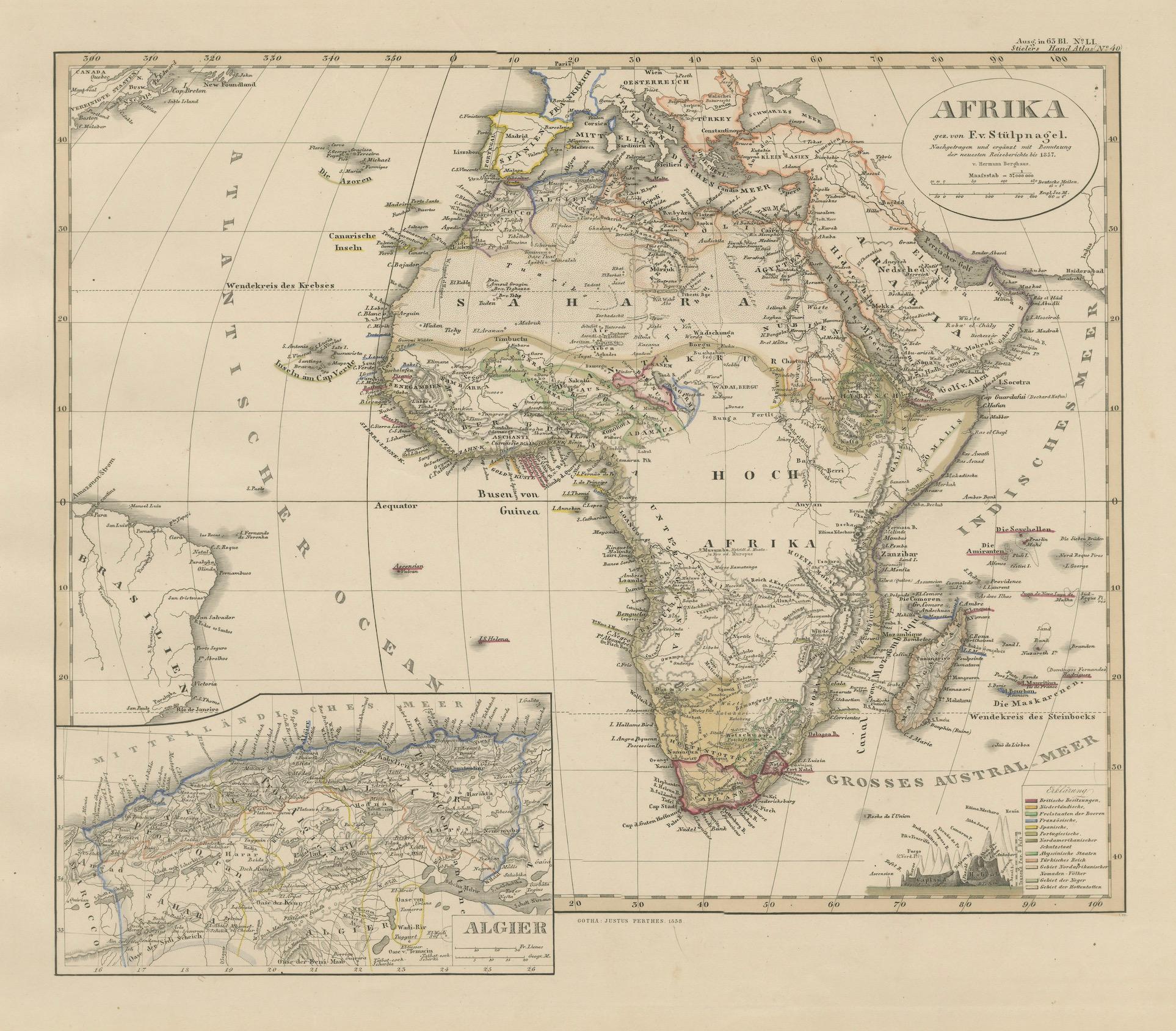
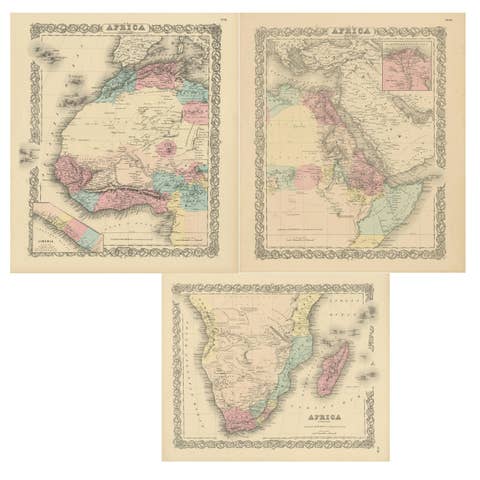
This antique map of Africa, engraved by F. von Stülpnagel and published by Justus Perthes in 1858, is a finely detailed and historically valuable depiction of the African continent during the mid-19th century. It was issued as part of the influential "Stieler’s Hand-Atlas," one of the most comprehensive and scientifically accurate atlases of its time.
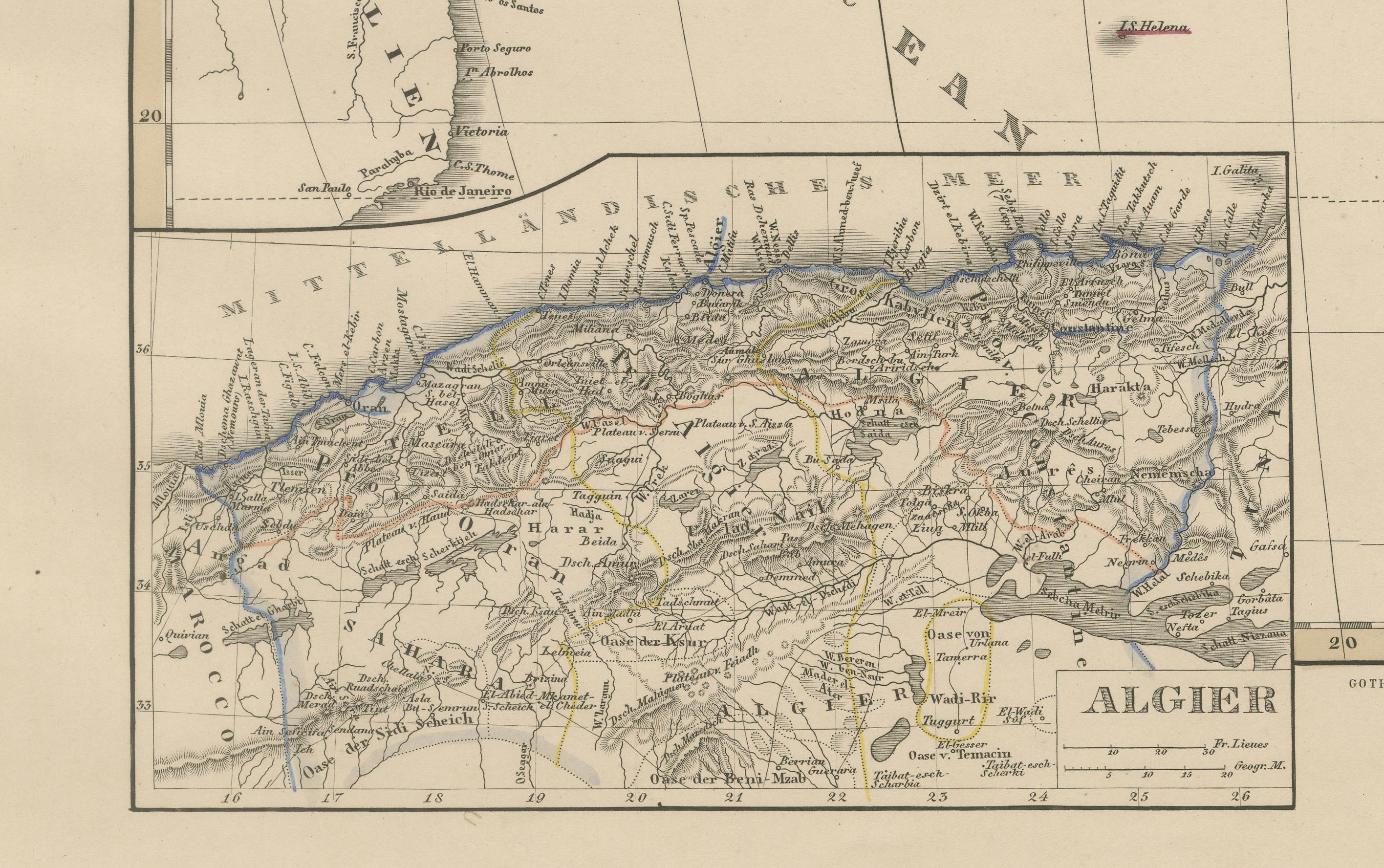
The map covers the entire African continent, from the Mediterranean in the north to the Cape of Good Hope in the south, and from the Canary Islands and Atlantic Ocean in the west to Madagascar and the Indian Ocean in the east. A detailed inset in the lower left corner presents the northern Algerian coast, including the cities of Algiers, Oran, and Constantine, with considerable topographical detail.
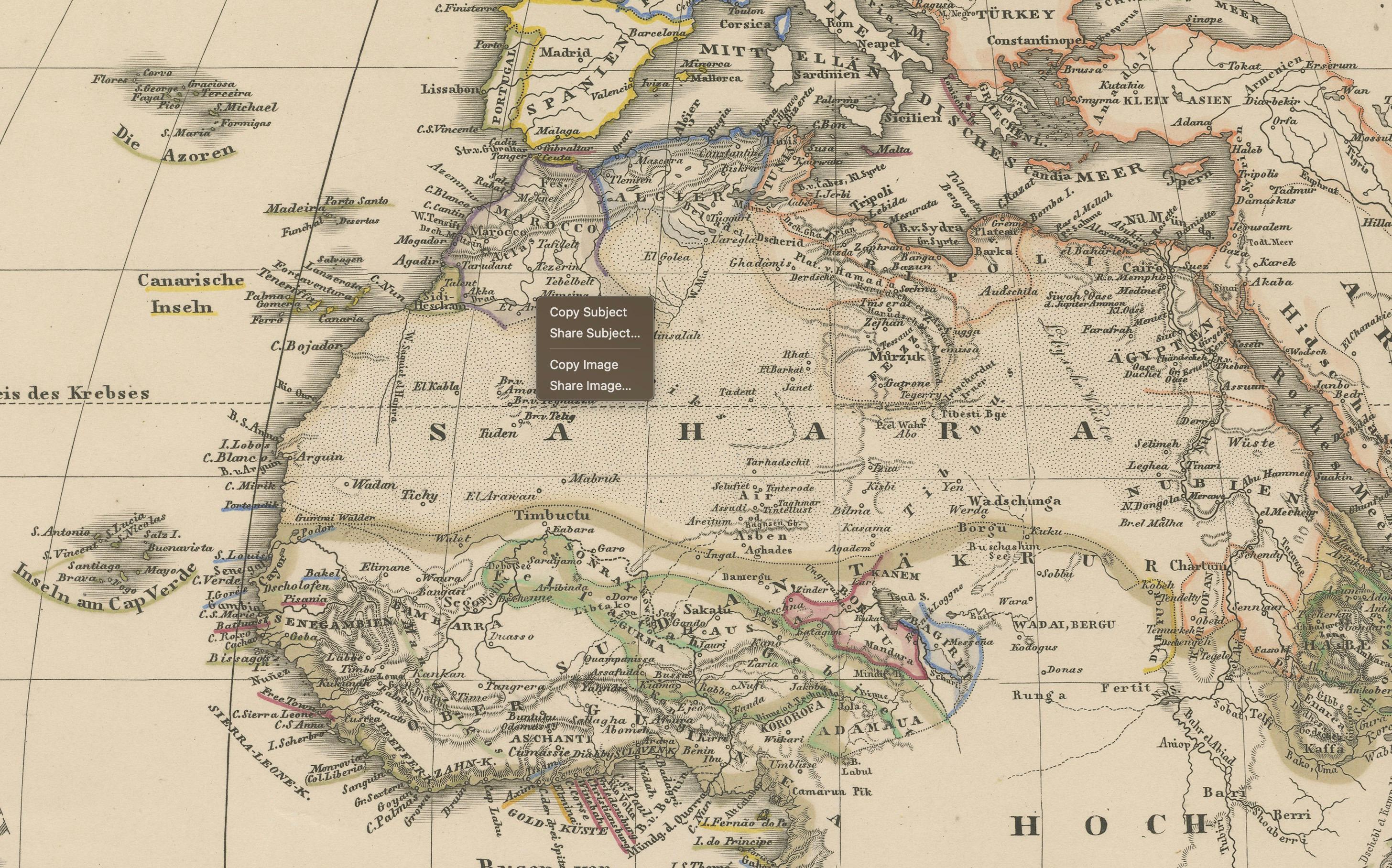
At the time of publication, much of Africa remained unexplored by Europeans, and this map reflects the contemporary geographic understanding, with interior regions such as “Hoch-Afrika” (High Africa) and “Sahara” still largely unknown or labeled with speculative geography. Notable colonial territories are marked, such as British Cape Colony, French Algeria, and Portuguese Angola and Mozambique. The Nile, Niger, and Congo rivers are shown in partial detail, and important trade routes and caravan paths are indicated.
Color coding is used to delineate colonial possessions and ethnic regions, with a legend in the lower right corner. Mountain ranges, deserts, rivers, and coastal features are all finely engraved, demonstrating the precision of Stülpnagel’s work. The map’s typography and engraving quality are exemplary, combining scientific accuracy with artistic finesse.
This map is an excellent historical document for collectors interested in Africa, European colonial history, or antique cartography. It captures a continent on the cusp of exploration, with many regions still shrouded in mystery according to European knowledge of the time.
Condition report:
Very good condition. Light age toning. Original centerfold as issued. Small foxing marks near the lower edge and light wear to the outer margins. Colors remain vibrant and crisp.
Framing tips:
A dark walnut or black frame with a wide off-white mat will complement the engraving’s subtle coloring and highlight its historical character. This piece would also pair well with other continental maps from the same series for a gallery wall.
Technique: Engraving with original hand coloring
Maker: F. von Stülpnagel, Gotha, Justus Perthes, 1858