About this sheet
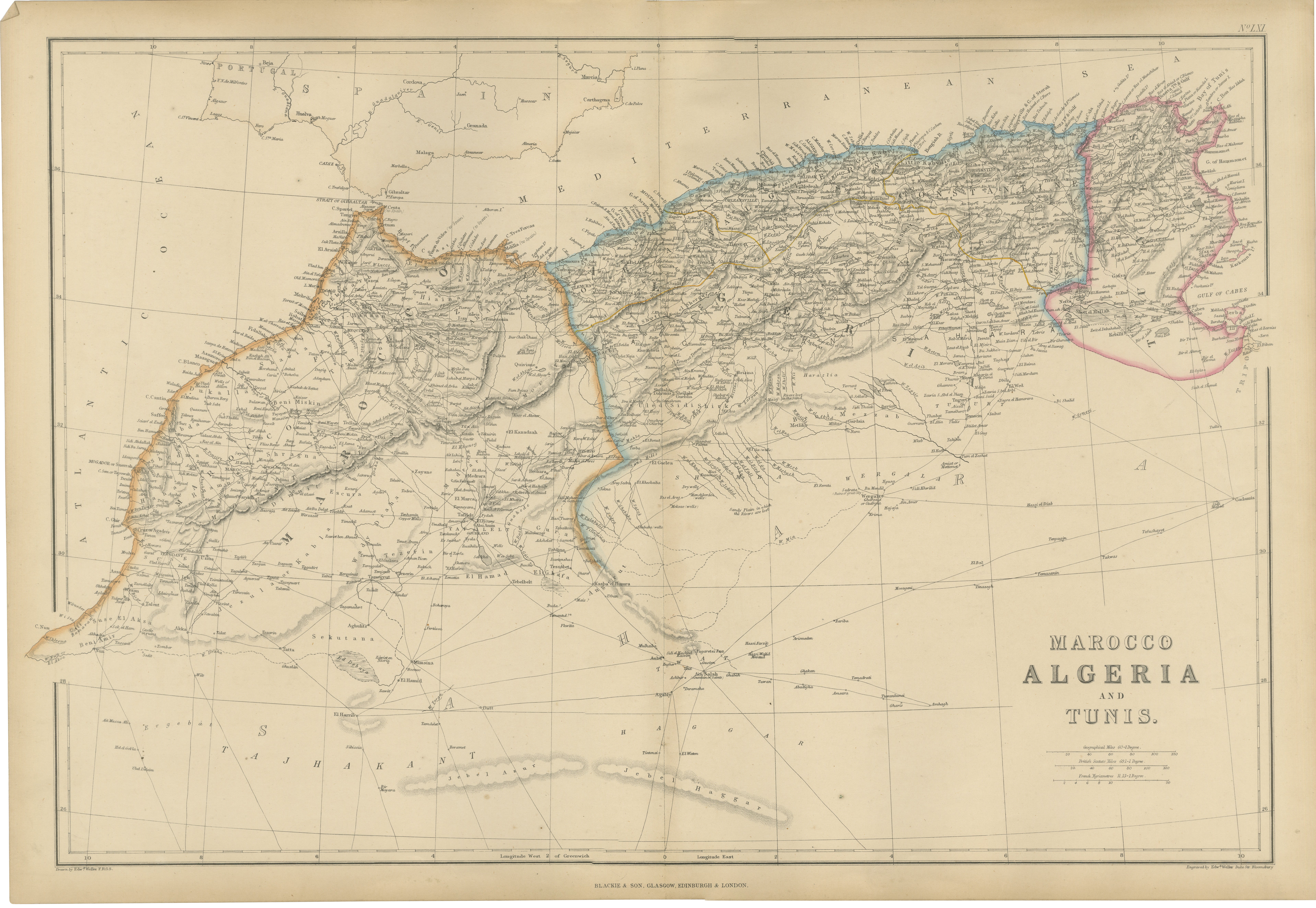
Original Antique North Africa Map, Morocco Algeria Tunis c.1860
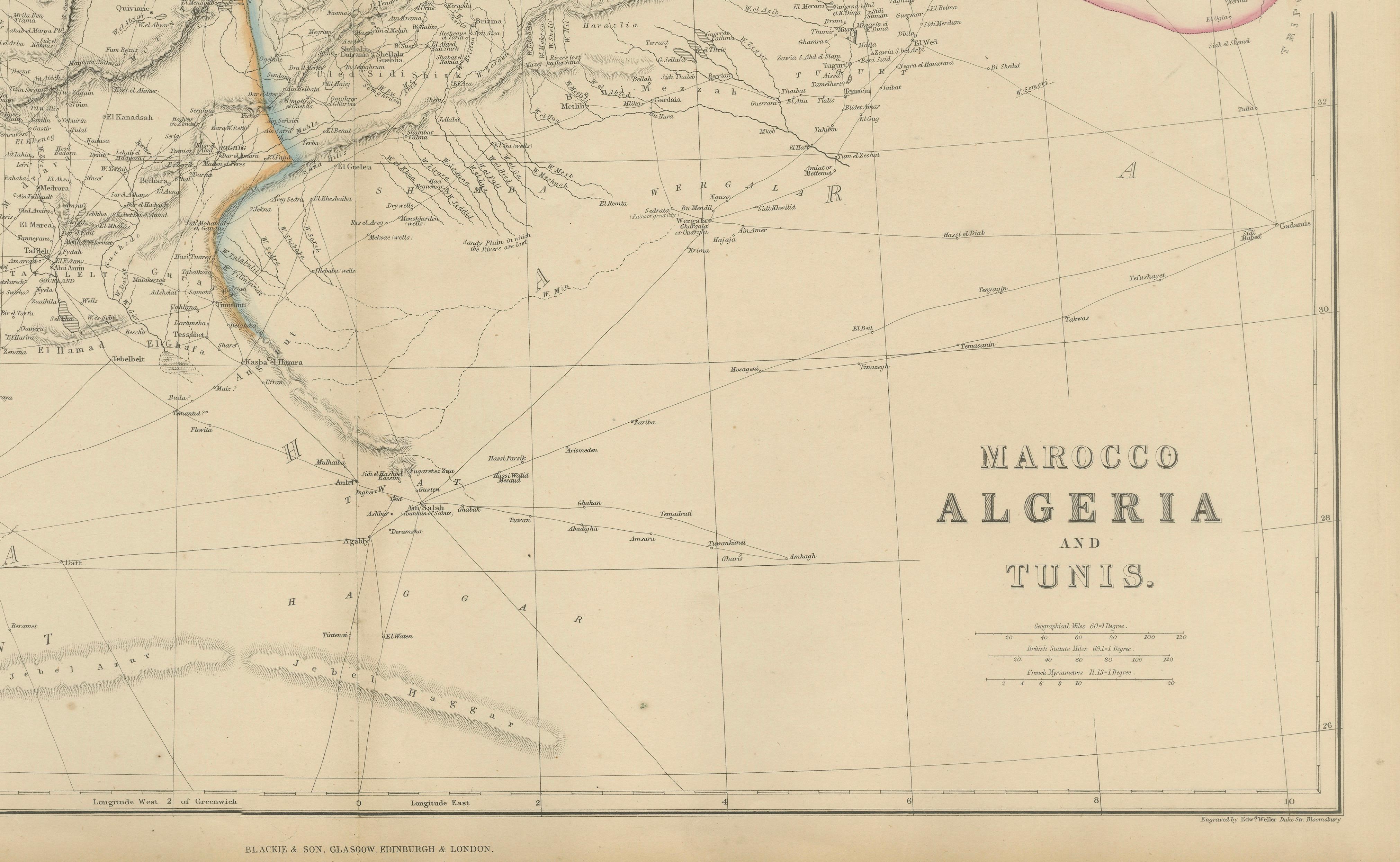
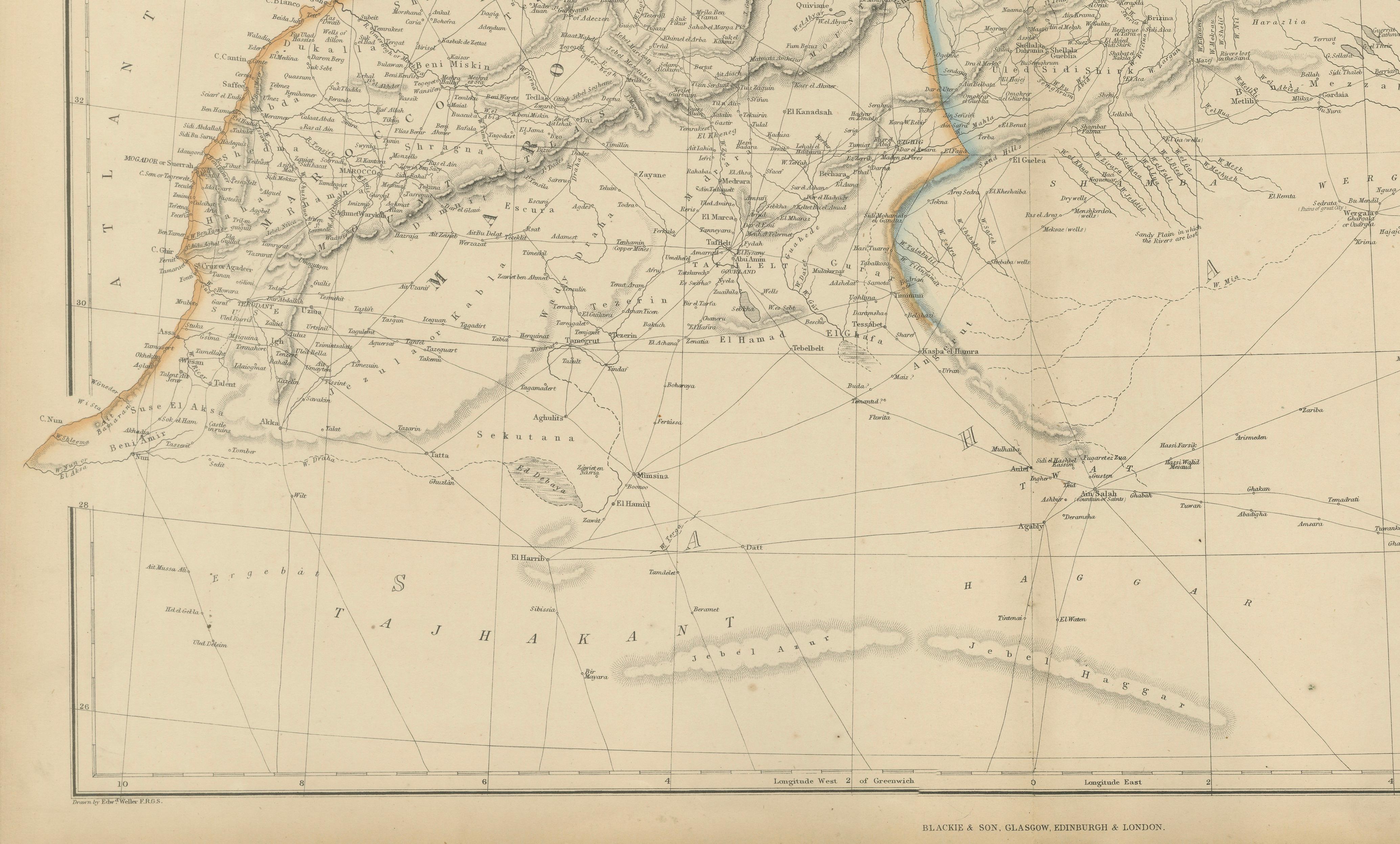
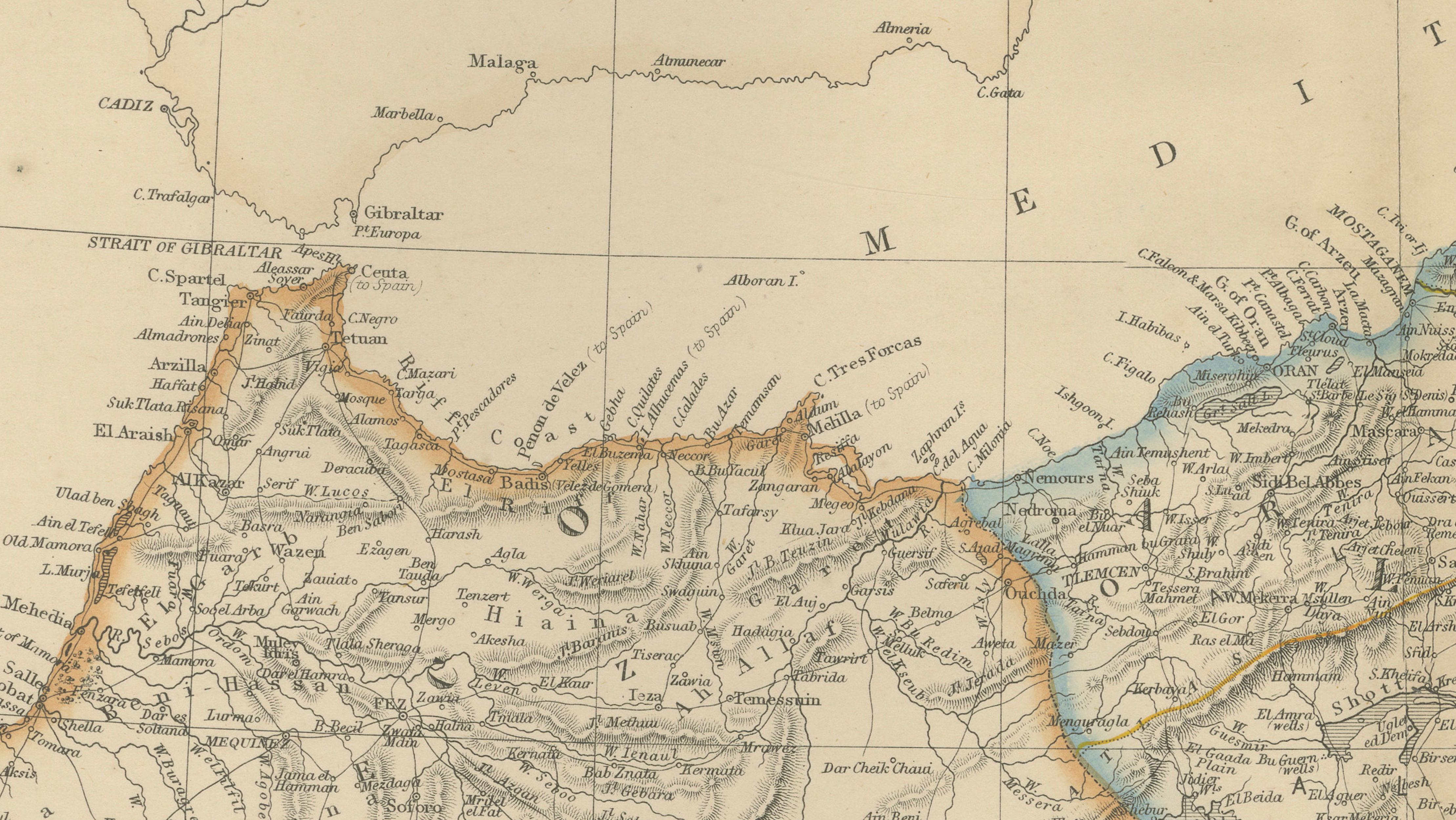
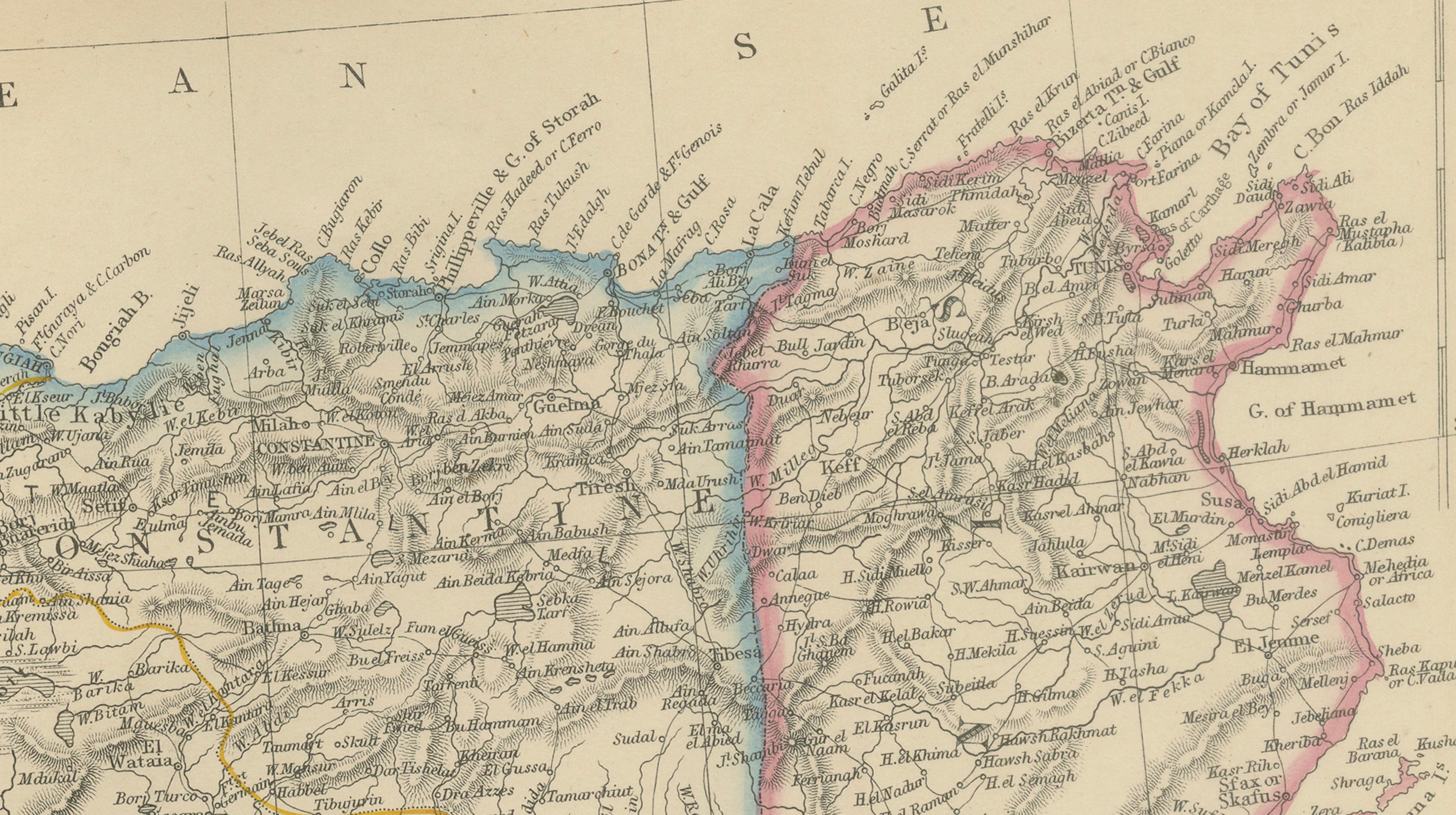
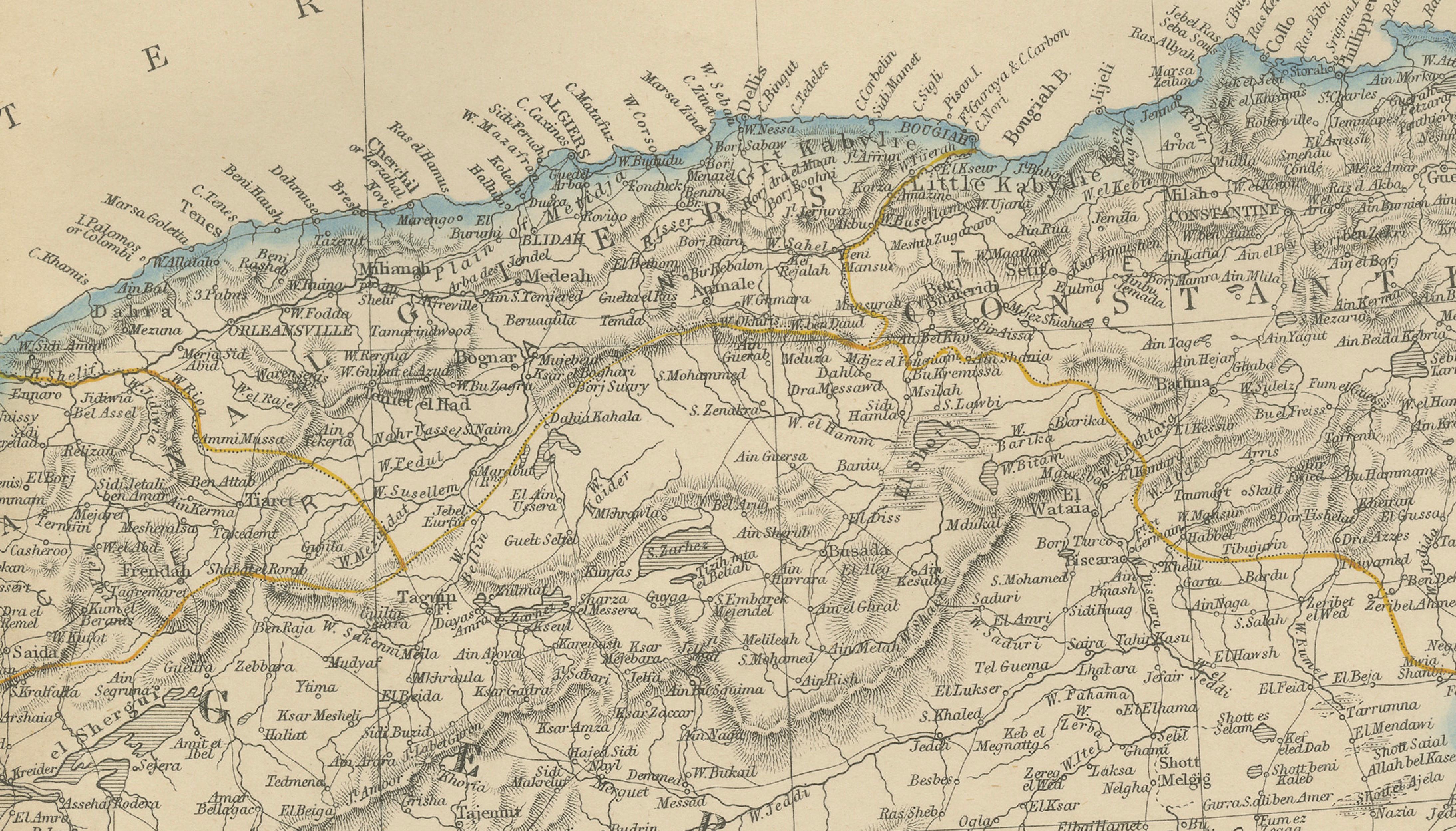
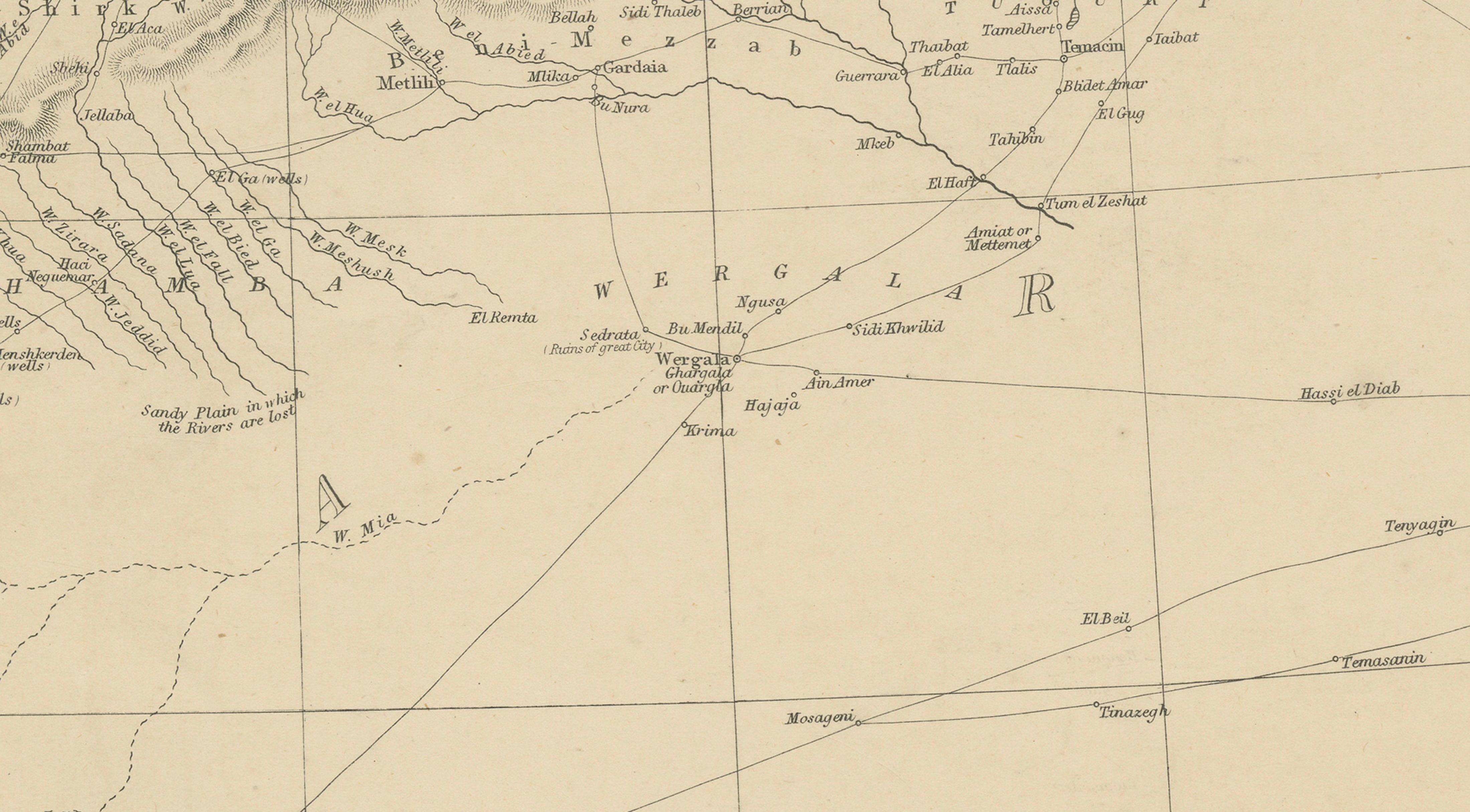
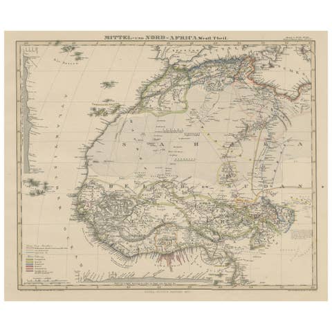
An original antique map of Morocco, Algeria and Tunis (Tunisia), published by W. G. Blackie of Scotland circa 1860. This finely detailed 19th-century copperplate engraving depicts the countries of North Africa with extensive geographical, topographical, and coastal information, including cities, towns, rivers, mountain ranges, caravan routes, and regional boundaries.
The map covers the territories of Morocco, Algeria, and Tunis, extending from the Atlantic coast to the Mediterranean shoreline and illustrating numerous historic settlements and geographic features. Coastal place names, ports, inland trade routes, and mountain systems are meticulously engraved, reflecting the high standards of Victorian cartographic production.
Published during a period of growing European interest in North Africa, this map provides an important historical record of the region before the modern political boundaries of the twentieth century. The engraving displays the elegant typography and precise line work characteristic of Blackie's atlases and geographical publications.
Published by W. G. Blackie of Scotland around 1860. This is an original 19th-century copperplate engraving, printed at the time. It is not a modern reproduction. Any images showing the print framed are for presentation purposes only. The map is supplied unframed.
Condition:
Good antique condition with age-related toning, light foxing, and minor wear consistent with age. Please review photographs carefully as they form part of the description.
Keywords:
Morocco, Algeria, Tunis, Tunisia, North Africa, Maghreb, Atlas Mountains, Sahara Desert, Mediterranean Sea, Atlantic Ocean, Tangier, Tangiers, Tetouan, Fez, Fes, Meknes, Rabat, Casablanca, Marrakesh, Marrakech, Mogador, Essaouira, Oran, Algiers, Constantine, Tlemcen, Blida, Biskra, Annaba, Bone, Tunis, Sfax, Kairouan, Gabes, North African map, antique map, Victorian map, copperplate engraving, Blackie atlas, W. G. Blackie, Scottish cartography, nineteenth century map, colonial era cartography, historical geography, original engraving, collectible map, decorative wall map, cartographic print, North Africa antique map.