About this sheet
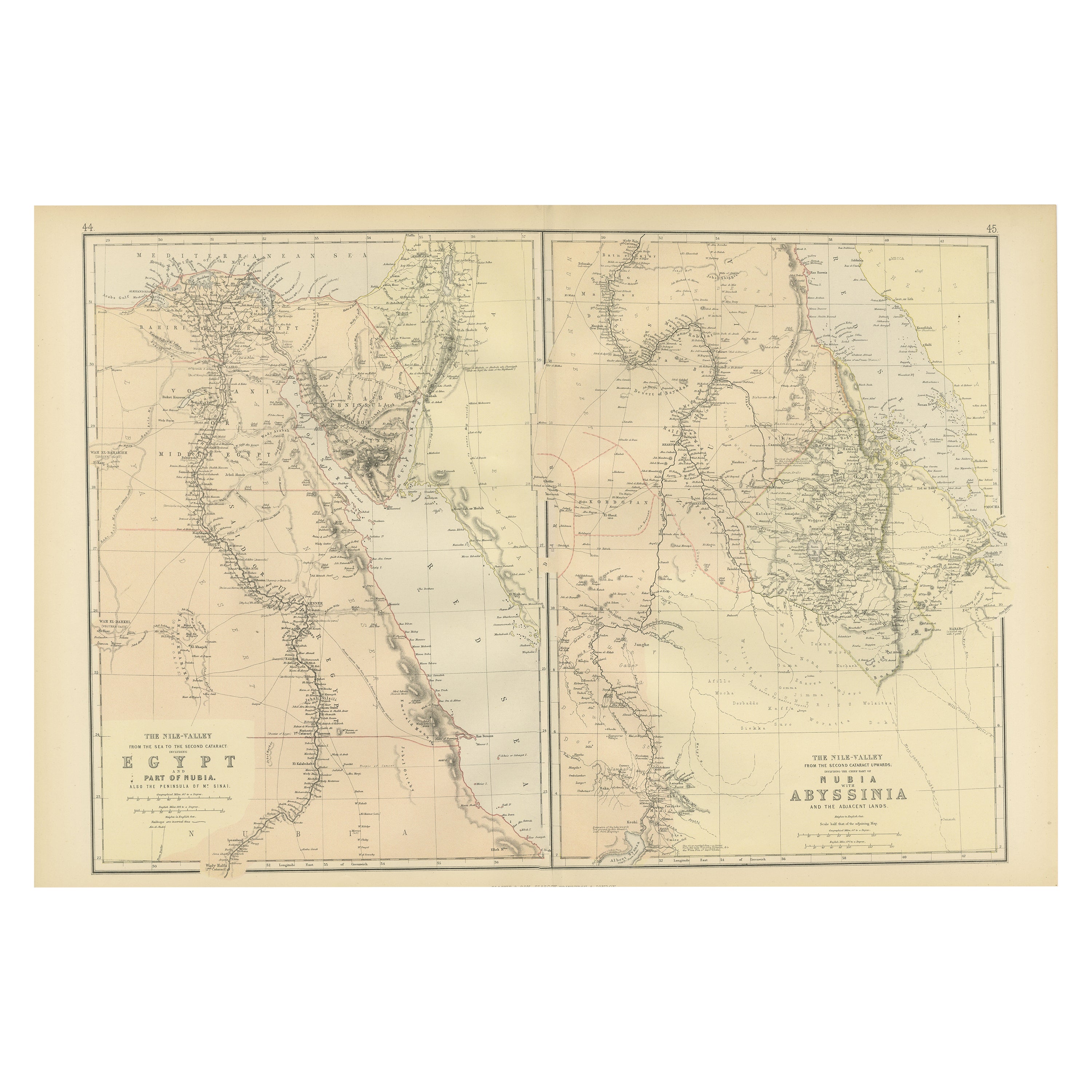
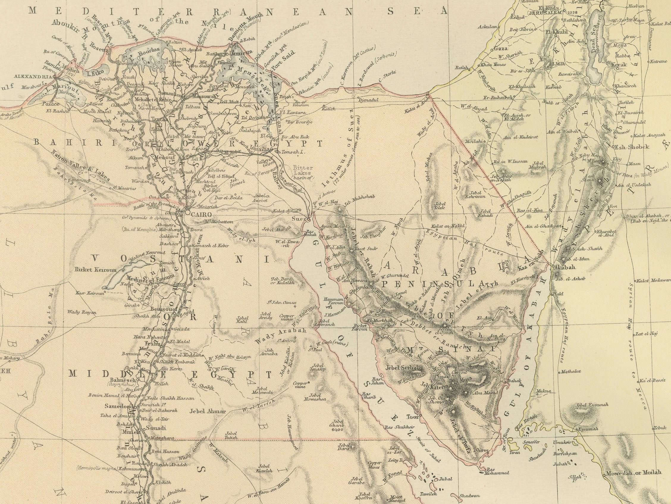
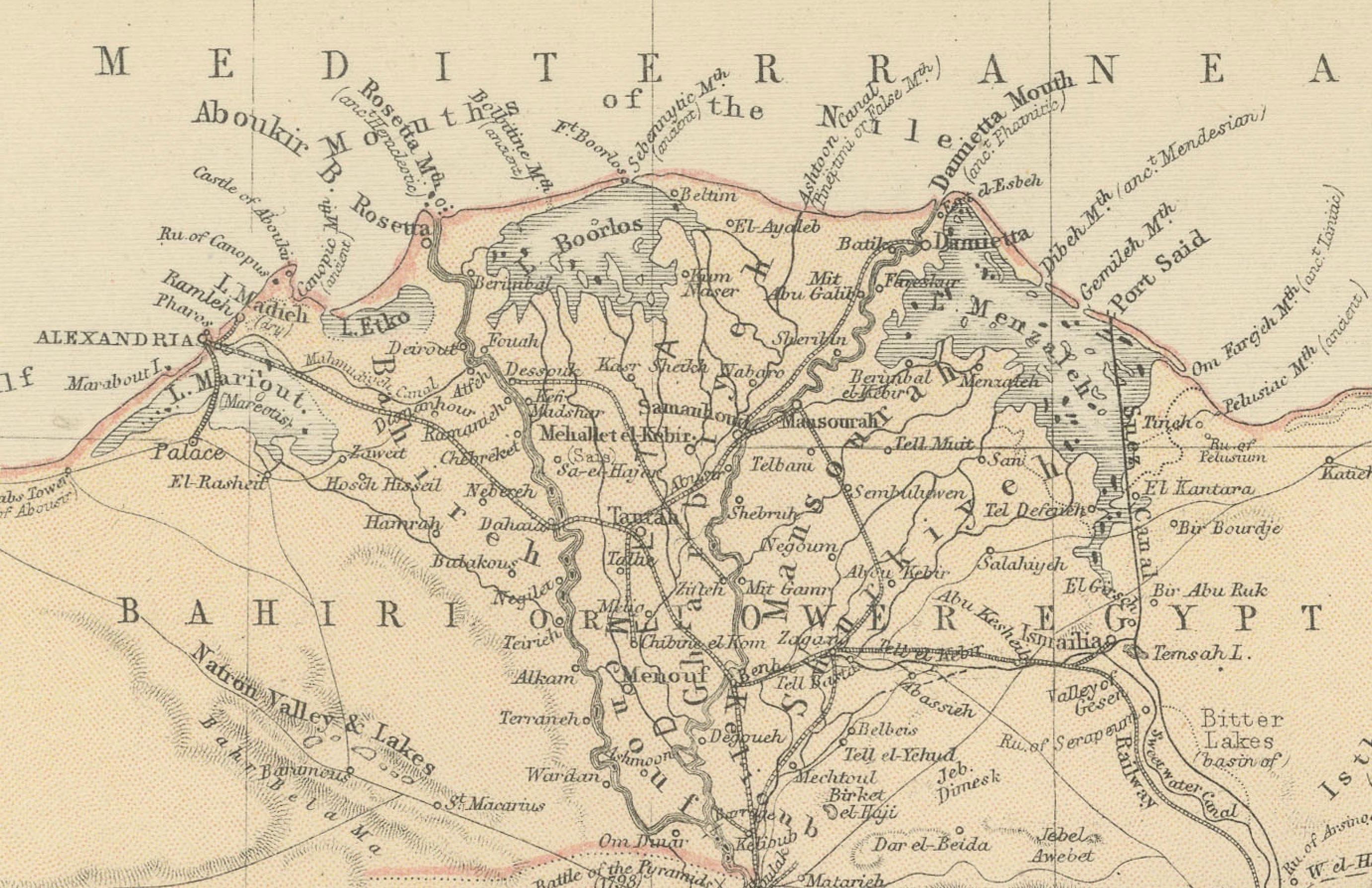
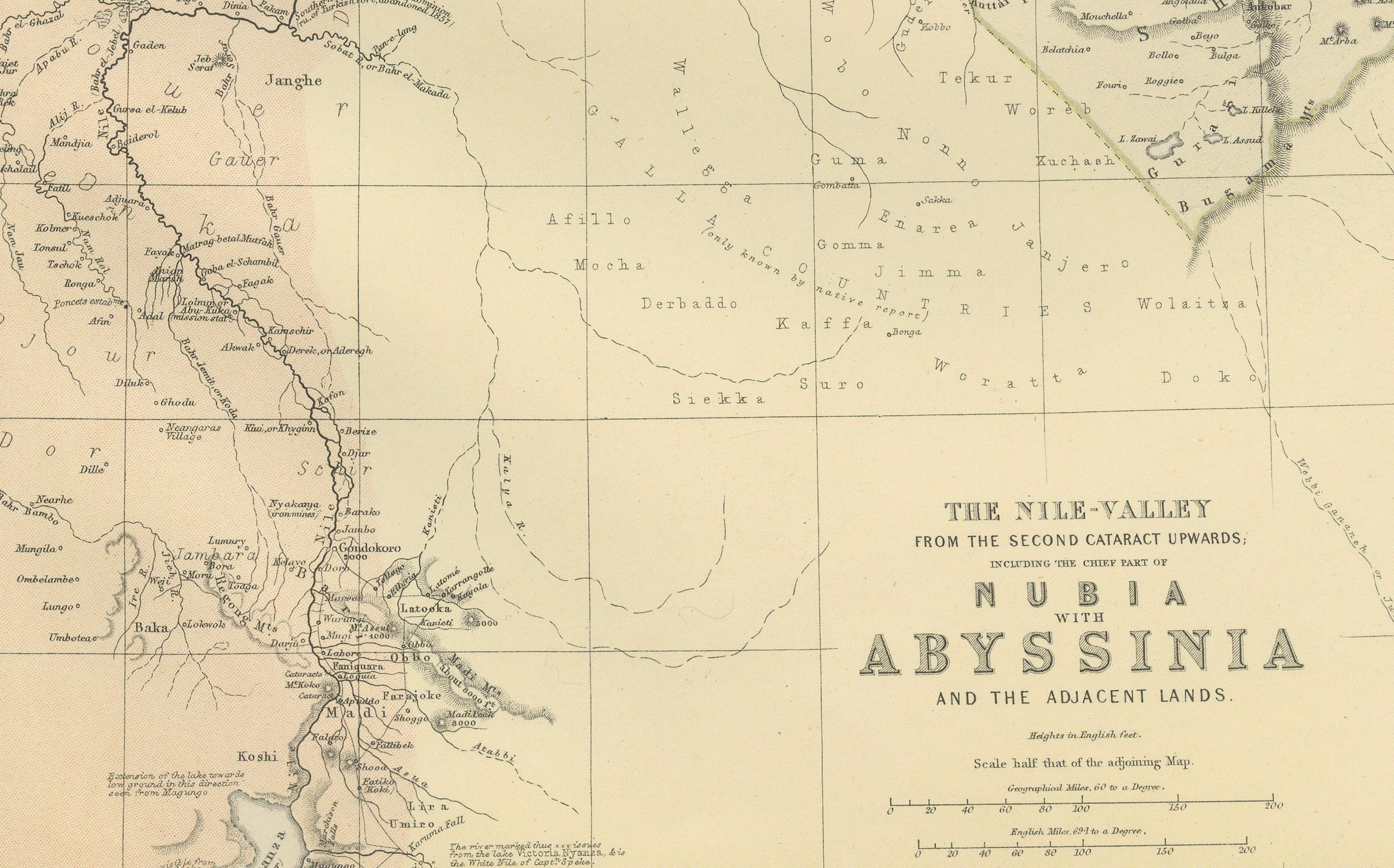
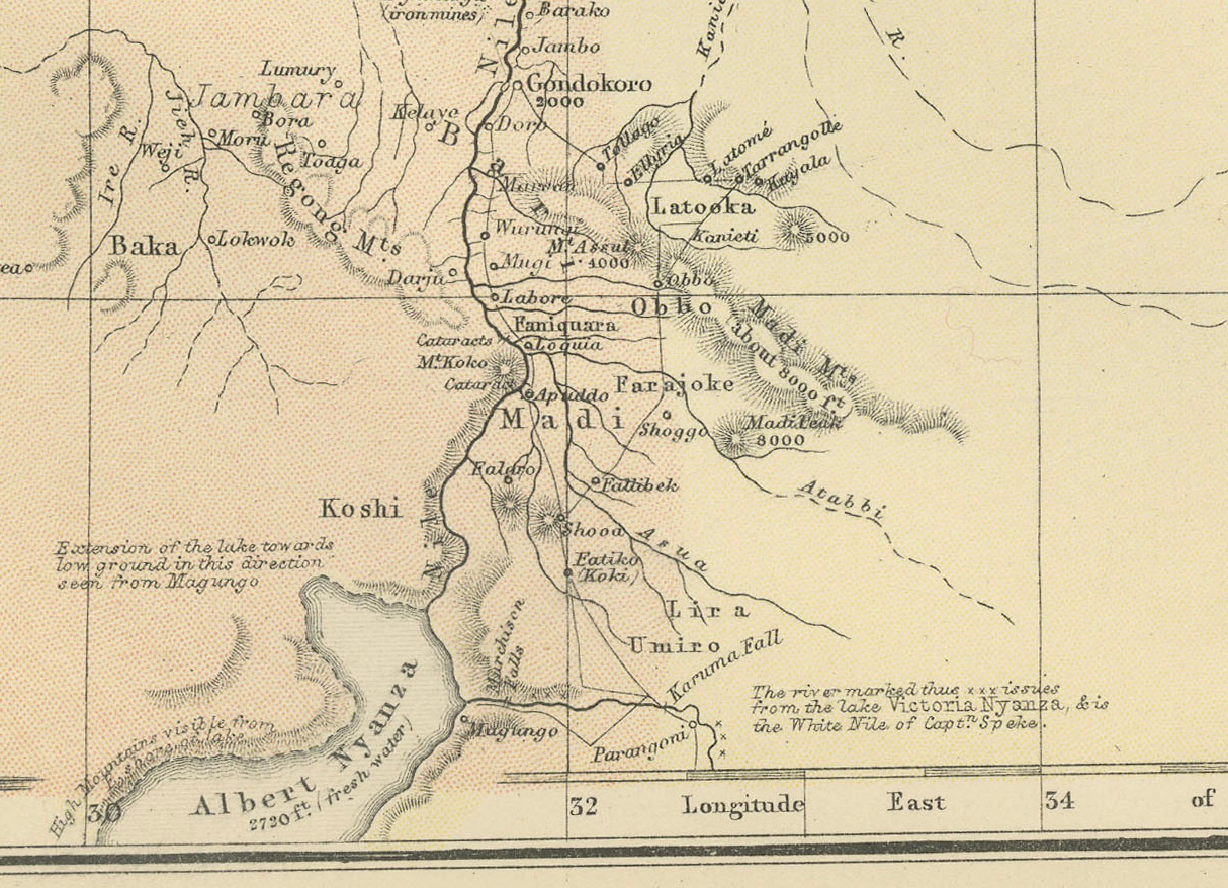
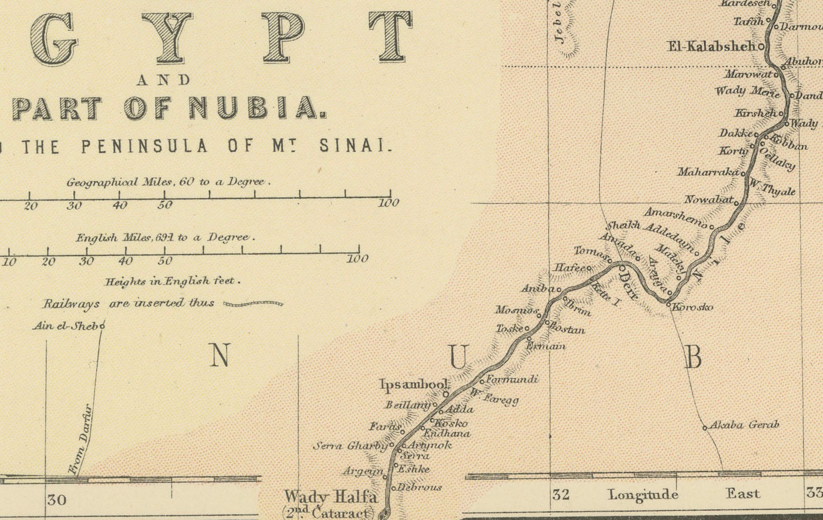
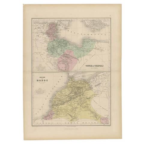
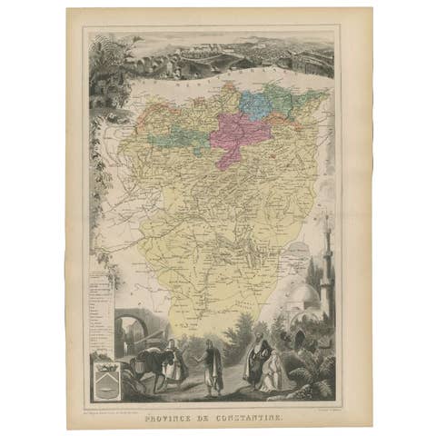
This image contains two maps, with the left one being labeled "Egypt" and the right one "Nubia, Abyssinia and the Adjacent Lands." These maps highlight the Nile Valley and surrounding regions.
The maps from the Blackie & Son atlas published in 1882 are interesting for several reasons:
1. **Historical Context**: The year 1882 is significant because it falls within the period of European imperial expansion in Africa. It was also just before the British occupation of Egypt, which began that year. Therefore, the maps serve as historical documents showing the geopolitical state of the region just before a major shift in its colonial status.
2. **Cartographic Style**: The maps reflect the cartographic style of the late 19th century, which often featured detailed engravings and fine detail. They provide a snapshot of the cartographic knowledge and aesthetic of the time.
3. **Geographical Knowledge**: These maps were created during a time when much of Africa's interior was still being explored by Europeans. The representation of features like rivers, mountains, and settlements can tell us about the extent of geographical knowledge at the time.
4. **Cultural Representation**: The way the map represents different regions, peoples, and geographical features can give insights into the cultural and political views of the era. It may reflect the European understanding and biases towards these regions.
5. **Educational Purpose**: Blackie & Son were known for their educational materials. This atlas was likely used in schools and libraries, making it an instrument of learning for many individuals. How the atlas was intended to educate its British audience about the world beyond their borders is of historical interest.
6. **Colonial Borders**: The atlas predates the 1884 Berlin Conference where European powers divided Africa into spheres of influence, leading to the drawing of new borders. This map may not show those later colonial borders, offering insight into pre-colonial boundaries.
7. **Technical Skill**: The precision and artistry involved in creating such detailed maps without the aid of modern technology is a testament to the skill of the cartographers of the time.
8. **Condition and Preservation**: Considering the map's age, its condition can also be a point of interest. How well it has been preserved can tell us about the quality of the materials used and the care taken to maintain it over the years.
Examining the map might reveal other unique or historically significant features, such as trade routes, historical notes, or even indications of the prevailing theories about the source of the Nile, which was a major geographical mystery at the time.