Antique Maps
5,418 original sheets
Europe 3023Asia 1110Africa 236America 548Australia & Oceania 159World Maps 111Sea Charts 209Celestial Maps 22
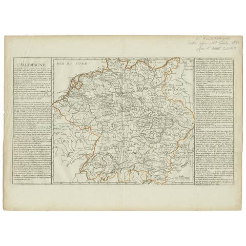
Antique Map of Germany by Clouet, 1787
1787 · € 400
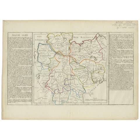
Antique Map of Lower Saxony by Clouet, 1787
1787 · € 276
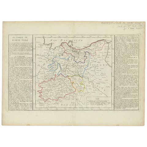
Antique Map of Upper Saxony in Germany by Clouet, 1787
1787 · € 300
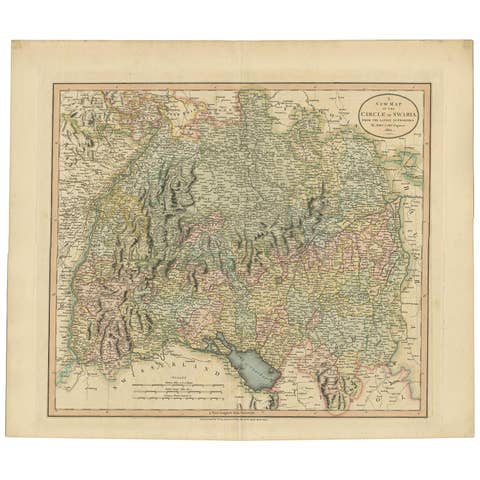
Antique Map of the Swabia Region of Germany by Cary, '1811'
1811 · € 250
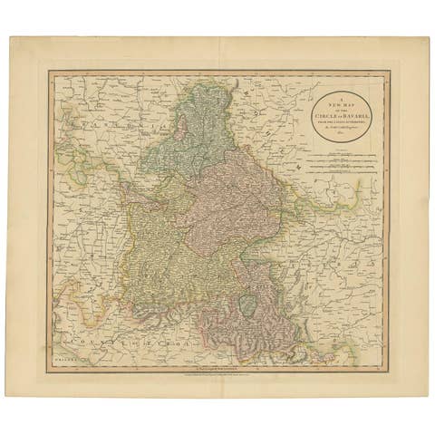
Antique Map of Bavaria and Salzburg by Cary, 1811
1811 · € 229
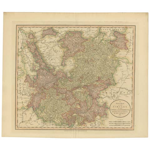
Antique Map of the Upper and Lower Rhine by Cary, 1811
1811 · € 250
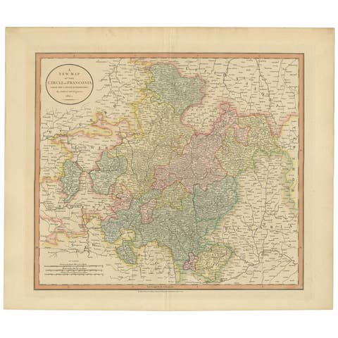
Antique Map of Franconia, a region of Germany, '1811'
1811 · € 227
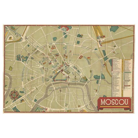
Vintage Folding Map of the Streets of Moscow, Russia, circa 1950
1950 · € 494
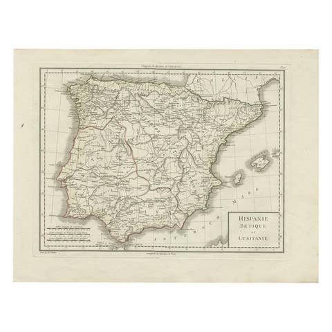
Antique Map of Spain and Portugal by Tardieu, circa 1795
1795 · € 250
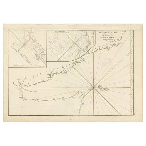
Original Antique Engraved Map of Part of the Red Sea, Arabia, 1775
1775 · € 437
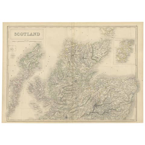
Antique Map of the Northern Part of Scotland by Black '1854'
1854 · € 183
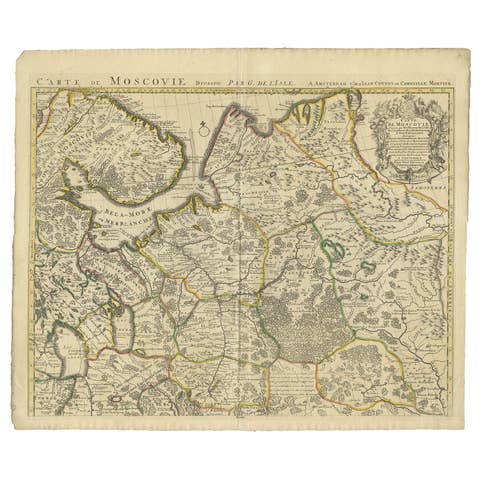
Antique Map of Western Russia by Covens & Mortier, 1740
1740 · € 950
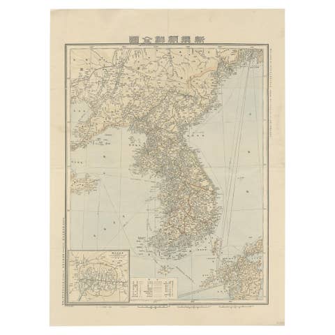
Antique Map of Korea by Kozaki, 1903
1903 · € 950
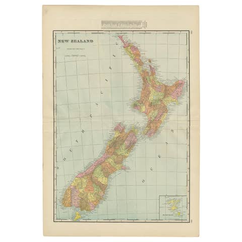
Antique Map of New Zealand by G.F. Cram, 'circa 1906'
1906 · € 350
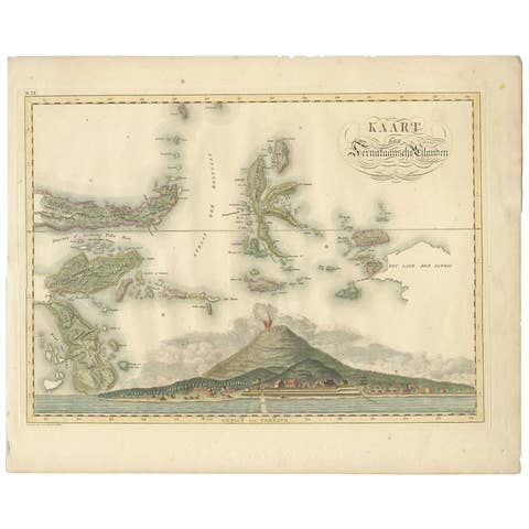
Antique Map of the Ternate Islands by Van den Bosch '1818'
1818 · € 829

Antique Map of Seram, Boero and the Banda Islands by Van den Bosch '1818'
1818 · € 1 078

Antique Map of Bantam, Jakarta and Cirebon by Van den Bosch '1818'
1818 · € 1 104
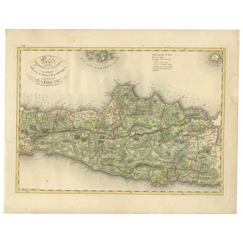
Antique Map of Central and East Java by Van den Bosch, 1818
1818 · € 1 104
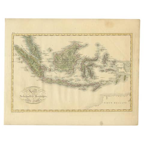
Antique Map of the Dutch East Indies by Van den Bosch '1818'
1818 · € 837
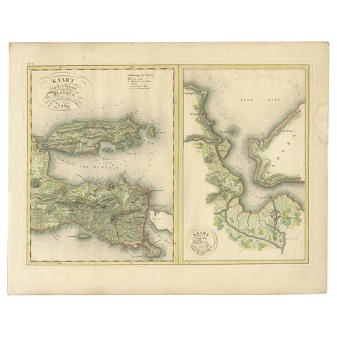
Antique Map of Madura and Surabaya by Van den Bosch, '1818'
1818 · € 1 104
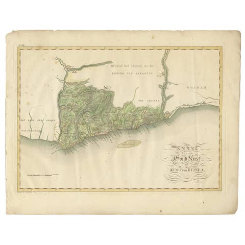
Antique Map of the Dutch Gold Coast in Africa by Van den Bosch '1818'
1818 · € 1 095
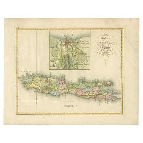
Antique Map of Java and Batavia of nowadays Indonesia, '1818'
1818 · € 829

Antique Map of South America by J. Cook, 1775
1775 · € 575
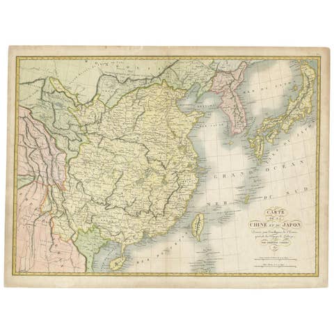
Antique Map of China and Japan by Tardieu, 1821
1821 · € 668
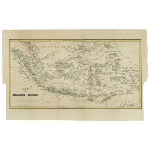
Antique Map of the East Indies by Van der Aa '1849'
1849 · € 400
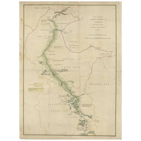
Antique Map of the Journey from Zhe-Hol in Tartary to Beijing and Hang-Tchoo Foo
€ 535

Antique Map of the Region of Lyon by Hondius, circa 1630
1630 · € 390
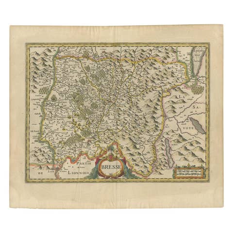
Antique Map of the Region of Bresse by Hondius, circa 1630
1630 · € 550
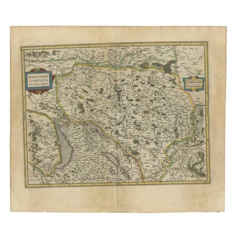
Antique Map of the Region of Franche-Comté by Janssonius, circa 1650
1650 · € 547
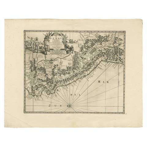
Antique Map of Peru by van der Aa, 'circa 1720'
1720 · € 693
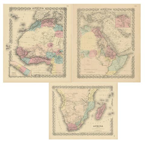
Set of Three Antique Maps of Africa by Colton (circa 1855)
1855 · € 252
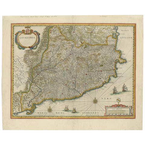
Antique Map of Catalonia by Blaeu, circa 1650
1650 · € 810
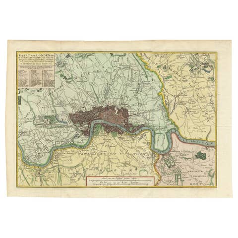
Antique Map of London by Tirion '1754'
1754 · € 580

Antique Map of the Burgundy Region by Merian '1646'
1646 · € 250
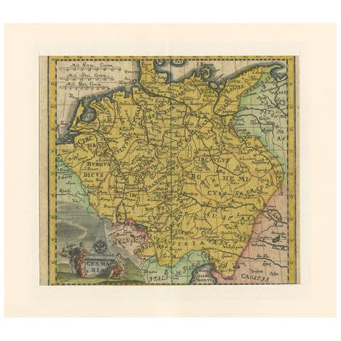
Antique Map of Germany by Hederichs 'circa 1740'
1740 · € 182
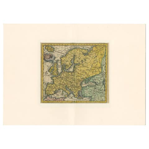
Antique Map of Europe by Hederichs, circa 1740
1740 · € 250

Antique Map of the Brazil Railway Company, '1912'
1912 · € 150
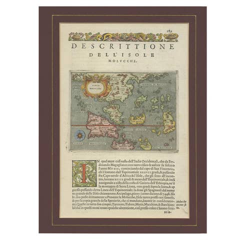
Antique Map of the Moluccas by Porcacchi, circa 1620
1620 · € 720
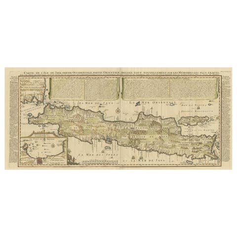
Antique French Map of Java, Indonesia by Chatelain, '1719'
1719 · € 1 914

Antique Map of India and Southeast Asia by Sanson '1654'
1654 · € 1 095
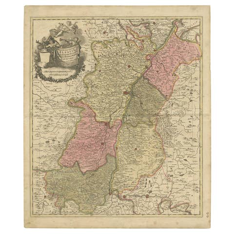
Antique Map of the Alsace Region of France by Schenk 'circa 1700'
1700 · € 428
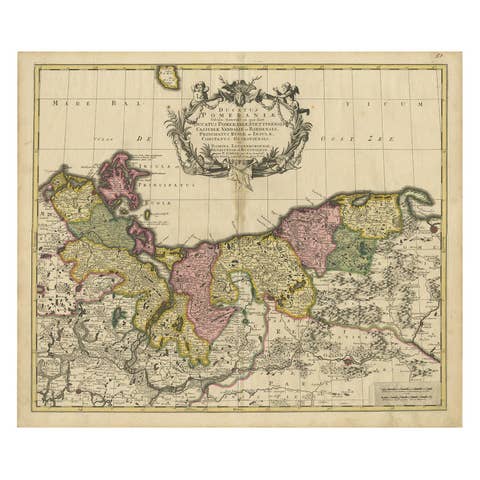
Map of the Duchy of Pomerania – Antique Engraving by P. Schenk Jr., c. 1750
1750 · € 464
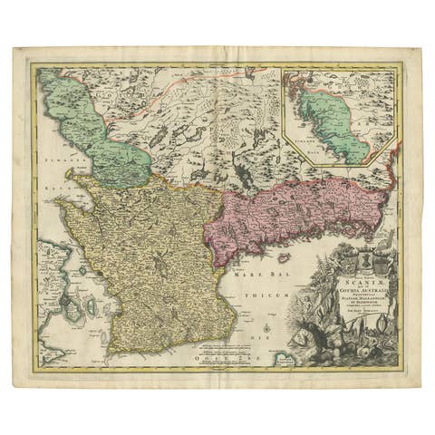
Southern Sweden Provinces Map – Homann’s ‘Nova Tabula Scaniae’, ca. 1730
1730 · € 550
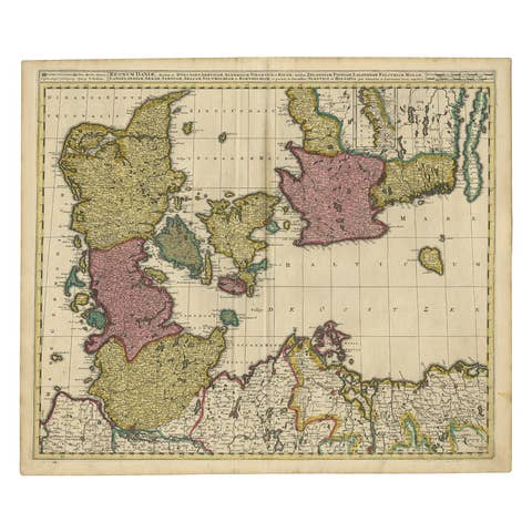
Map of Denmark Divided into Dioceses – G. & L. Valk, ca. 1690
1690 · € 550
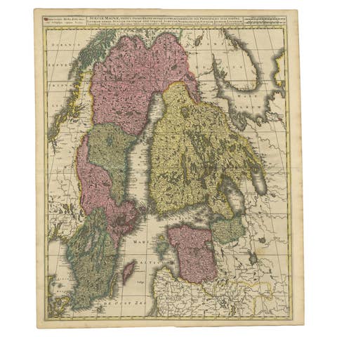
Scandinavia & Baltic Map – Antique by G. & L. Valk, incl. Sweden, Finland, c1700
€ 596
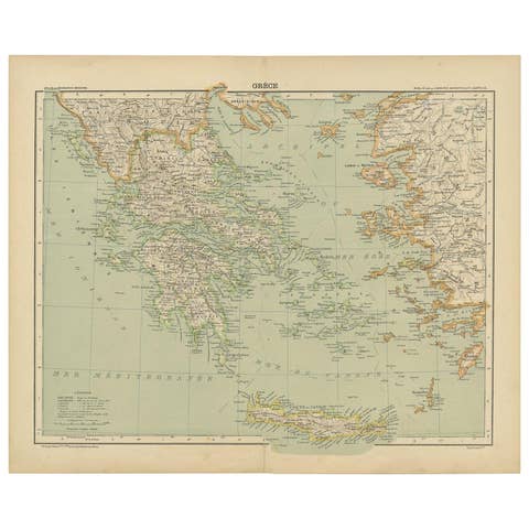
Antique Map of Greece and the Mediterranean by Hachette & Cie, '1896'
1896 · € 150
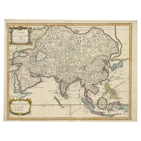
Antique Duval Map of East Asia with China, Japan, Korea and the Great Wall, 1663
1663 · € 1 800
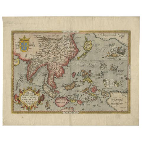
Antique Ortelius Map of Asia Featuring Japan, China, Taiwan & East Indies, 1587
1587 · € 4 950