Maps & PrintsBartele Gallery · Langweer
Home / Antique Maps / Europe / Western Europe / United Kingdom & Ireland

United Kingdom & Ireland · 18th century

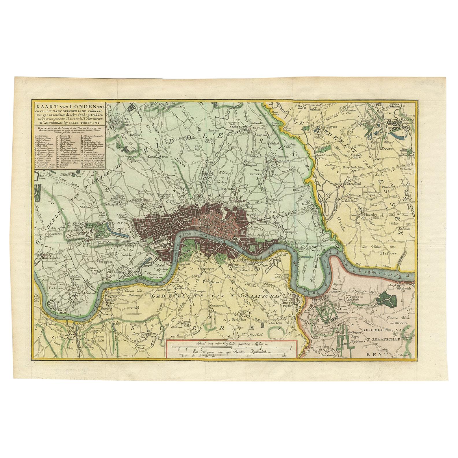
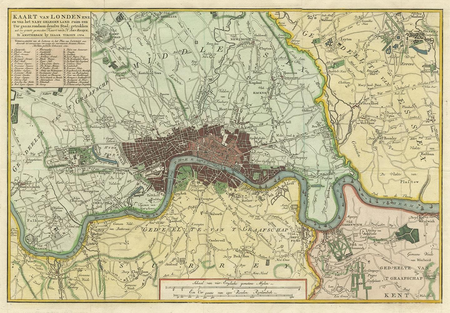
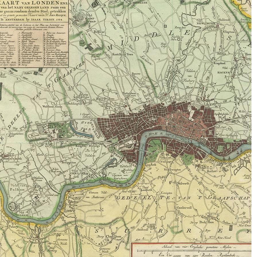
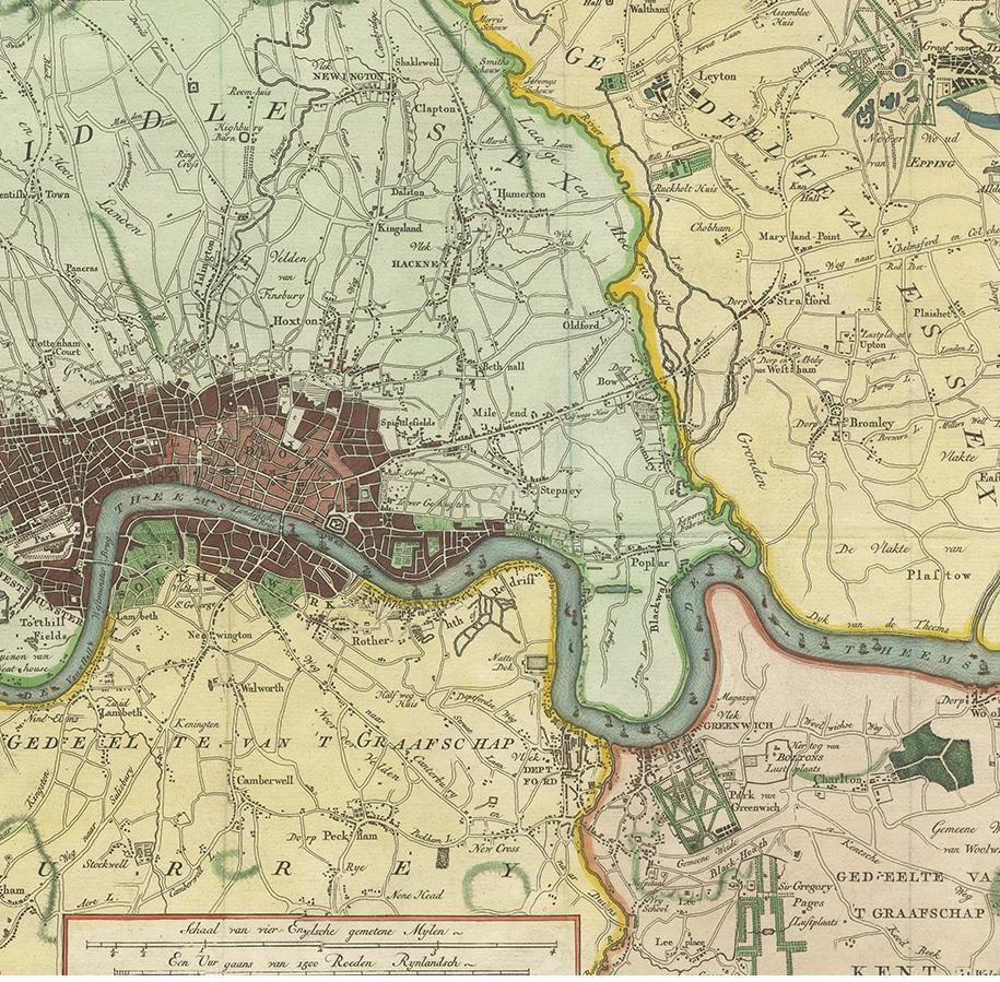
Antique Map of London by Tirion '1754'

€ 580

One of a kind: this is the sheet in the photographs. Ships from Langweer, the Netherlands.

Date
1754
Sheet size
32.5 × 46.5 cm (12.8 × 18.3 in)
Condition
Good
Reference
BG-12391-2

Condition

Great condition. Original folding lines, please study images carefully.
About this sheet

Antique map titled 'Kaart van Londen enz. en van het naby gelegen land ruim een Uur gaans rondsom dezelve Stad; getrokken uit de groote gemeeten Kaart van Hr. John Rocque'. In the second half of the 18th century, the introduction of turnpike roads and the increased coach-traffic in and out of London contributed to the popularity of the maps of the countryside around the capital.

This map of the area ten miles round the City of London was published in Amsterdam by Isaak Tirion. Based on John Rocque's survey of 1744, the map's title, imprint and key appears in a table at top left. The scale bars are in a panel below the plan. Built-up areas are stippled in the City and hatched elsewhere.

More from United Kingdom & Ireland

Ask about this sheet

Antique Map of London by Tirion '1754'
1754 · Ref. BG-12391-2 · € 580
We reply by email, usually within one working day.