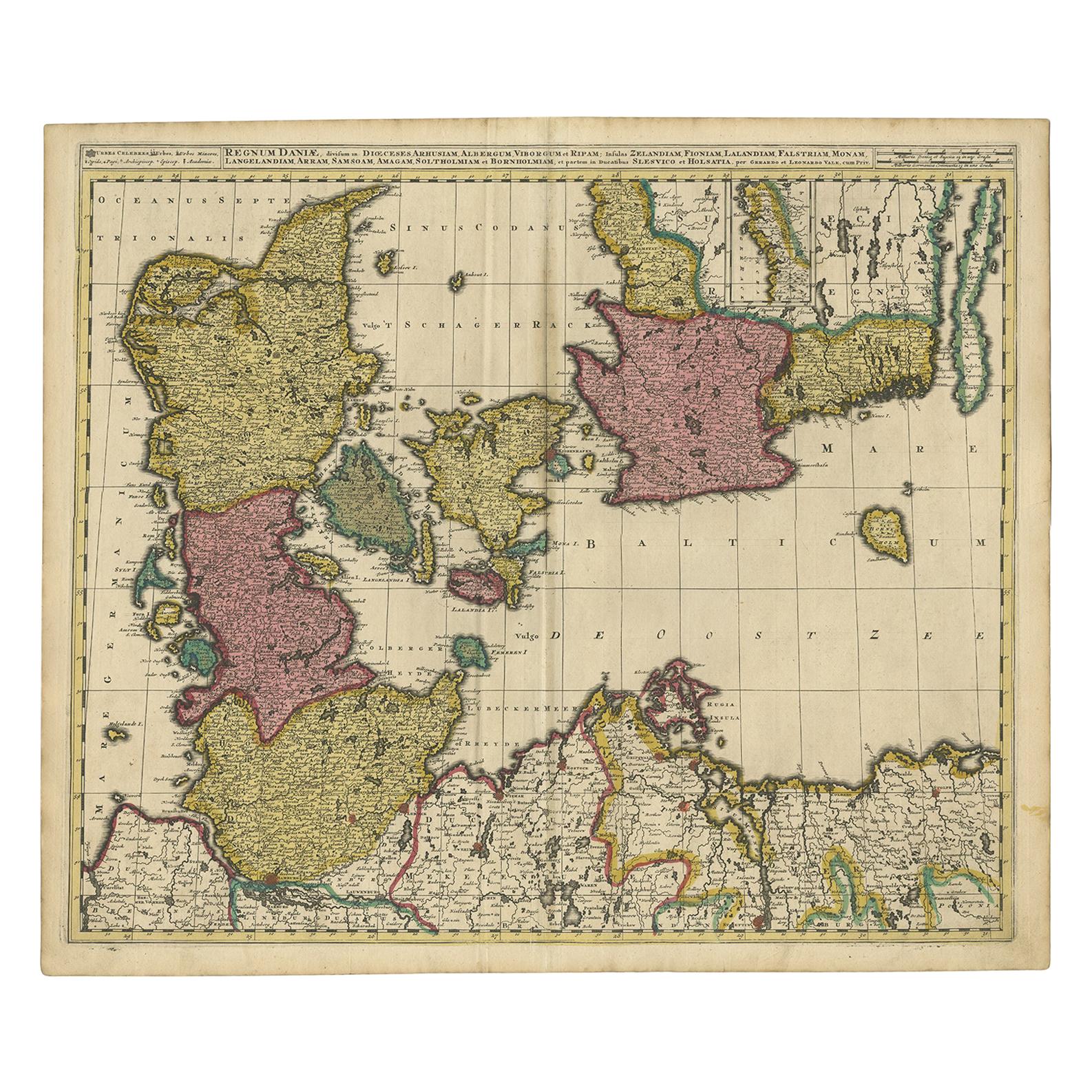
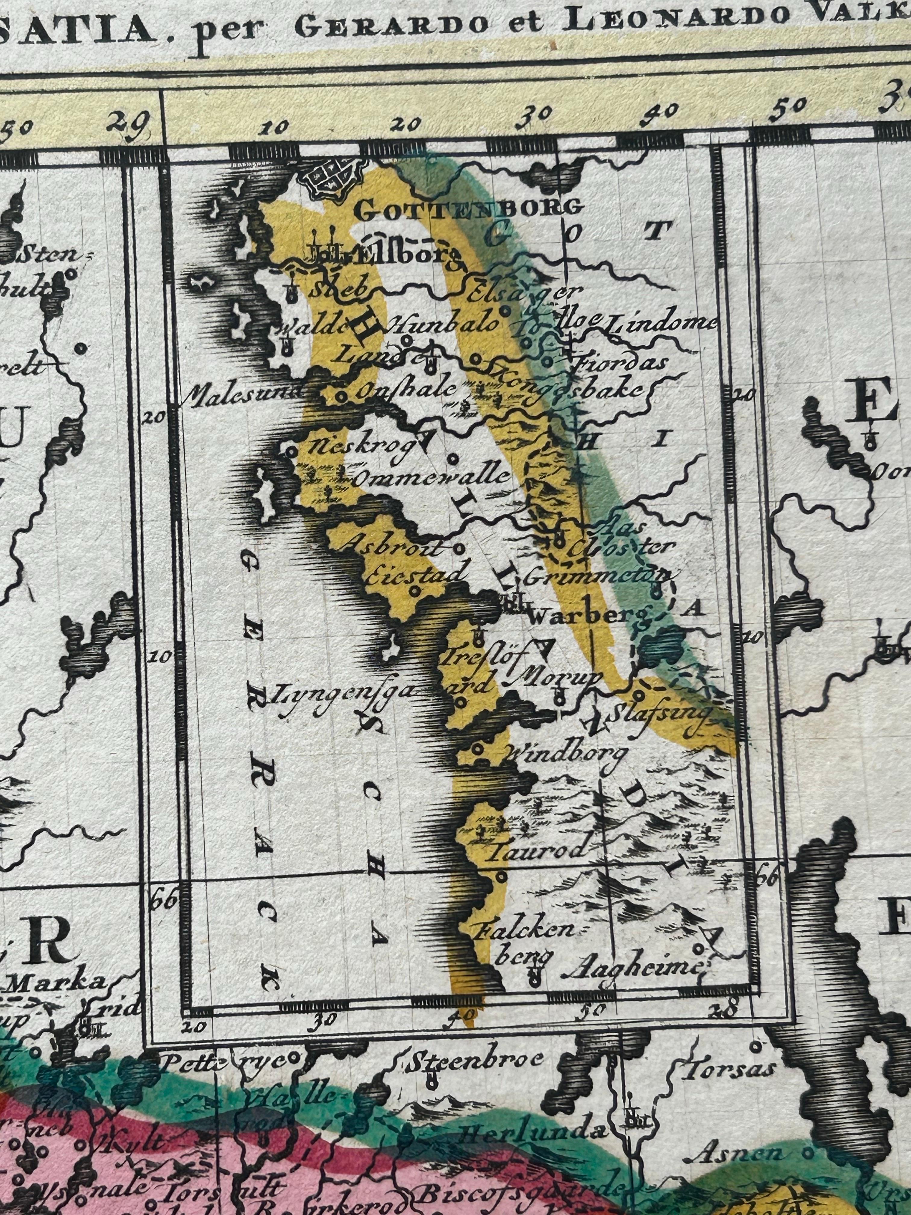
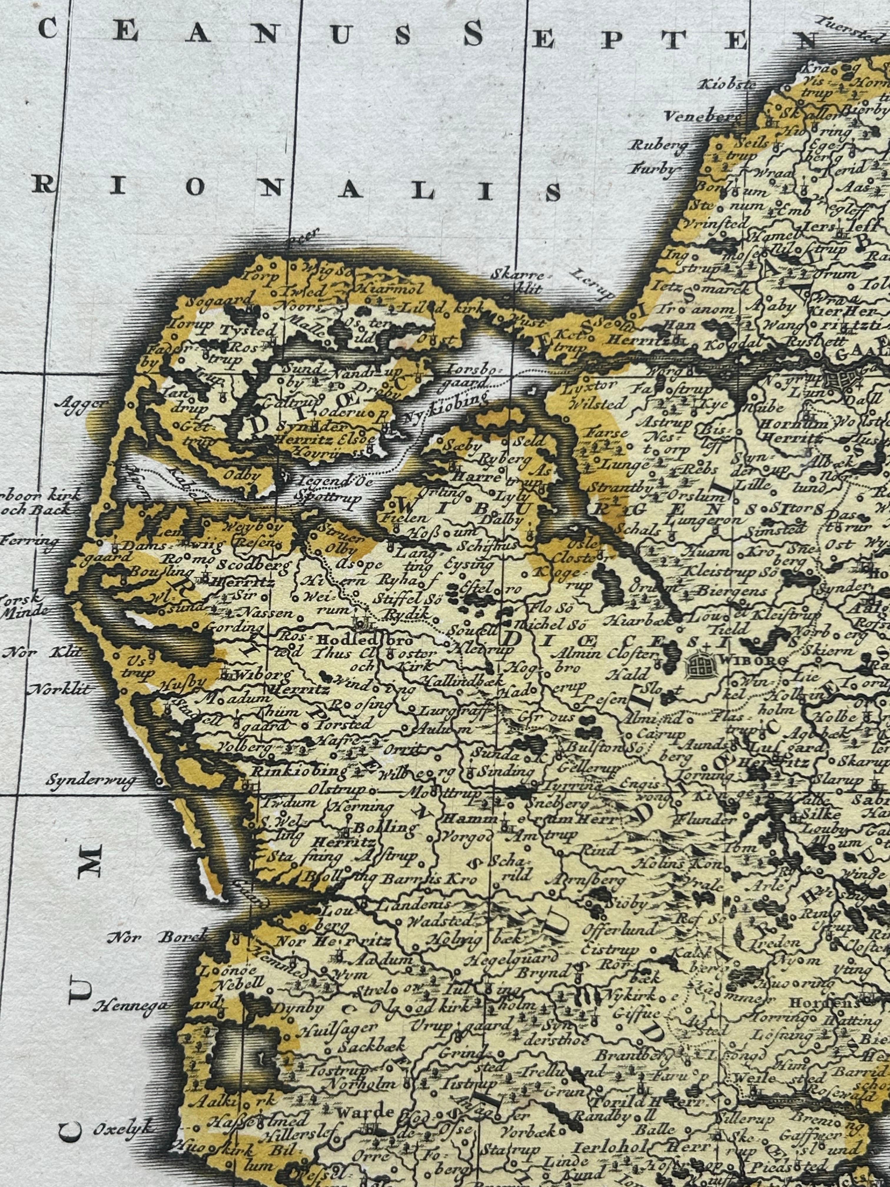
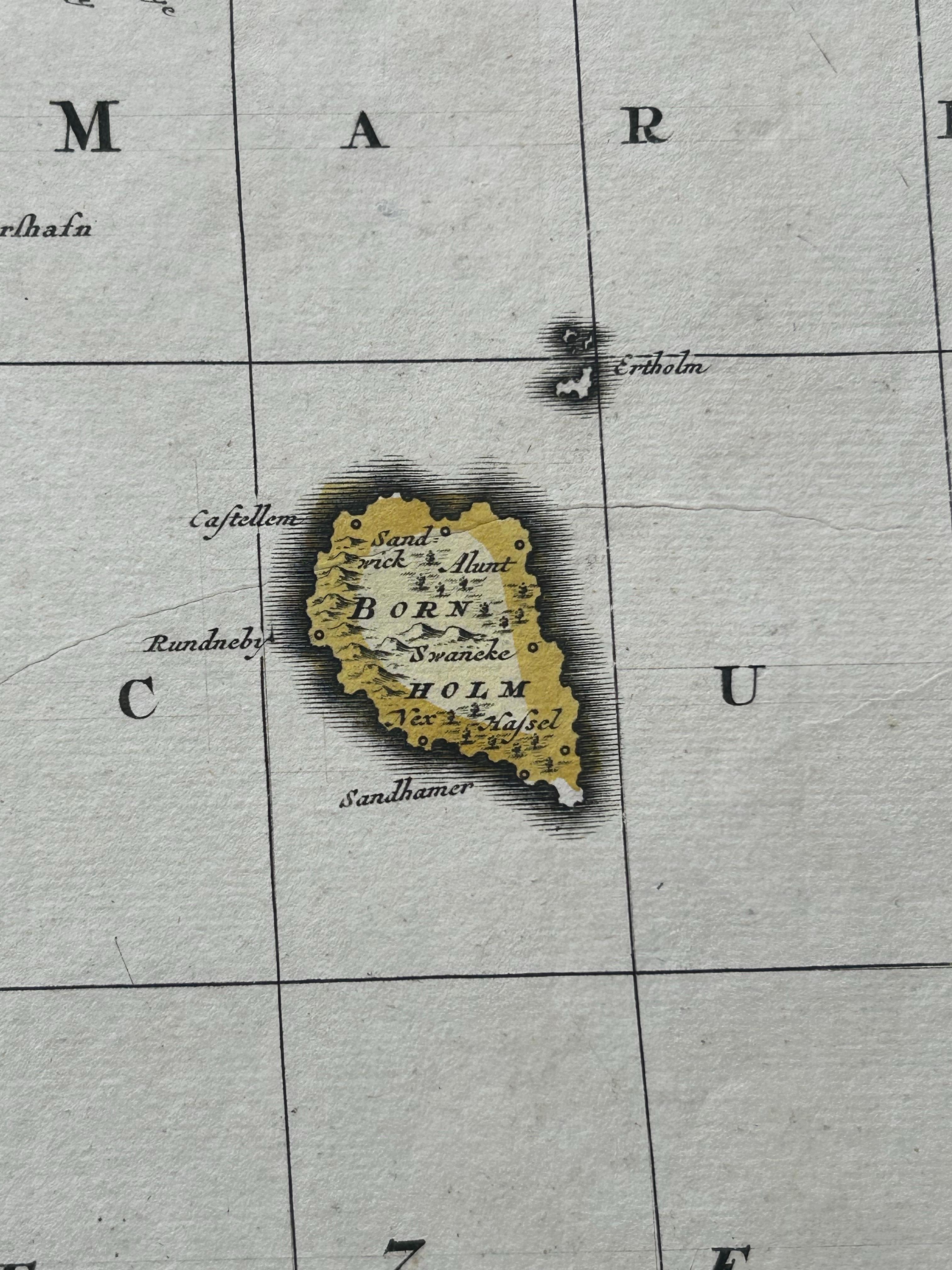
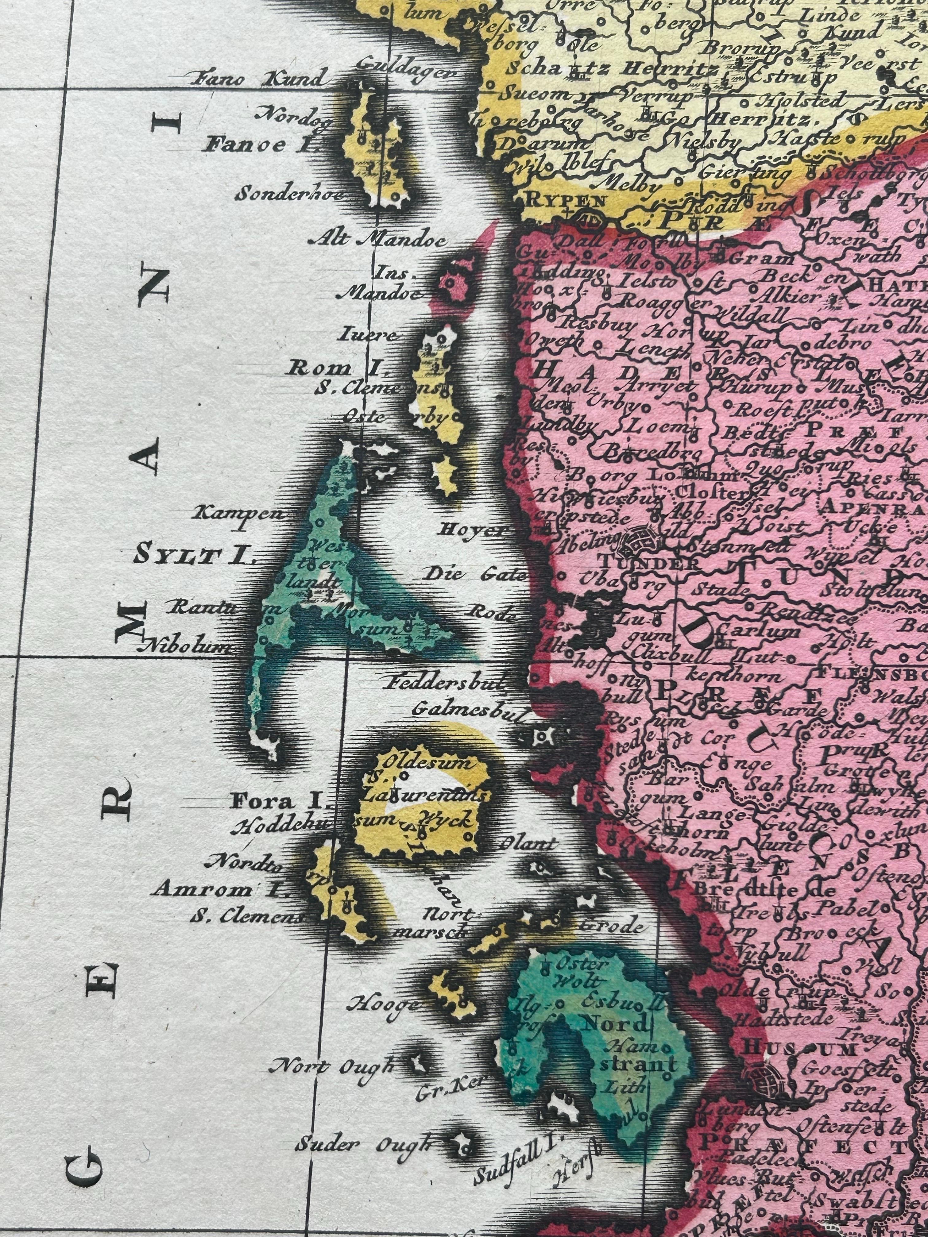
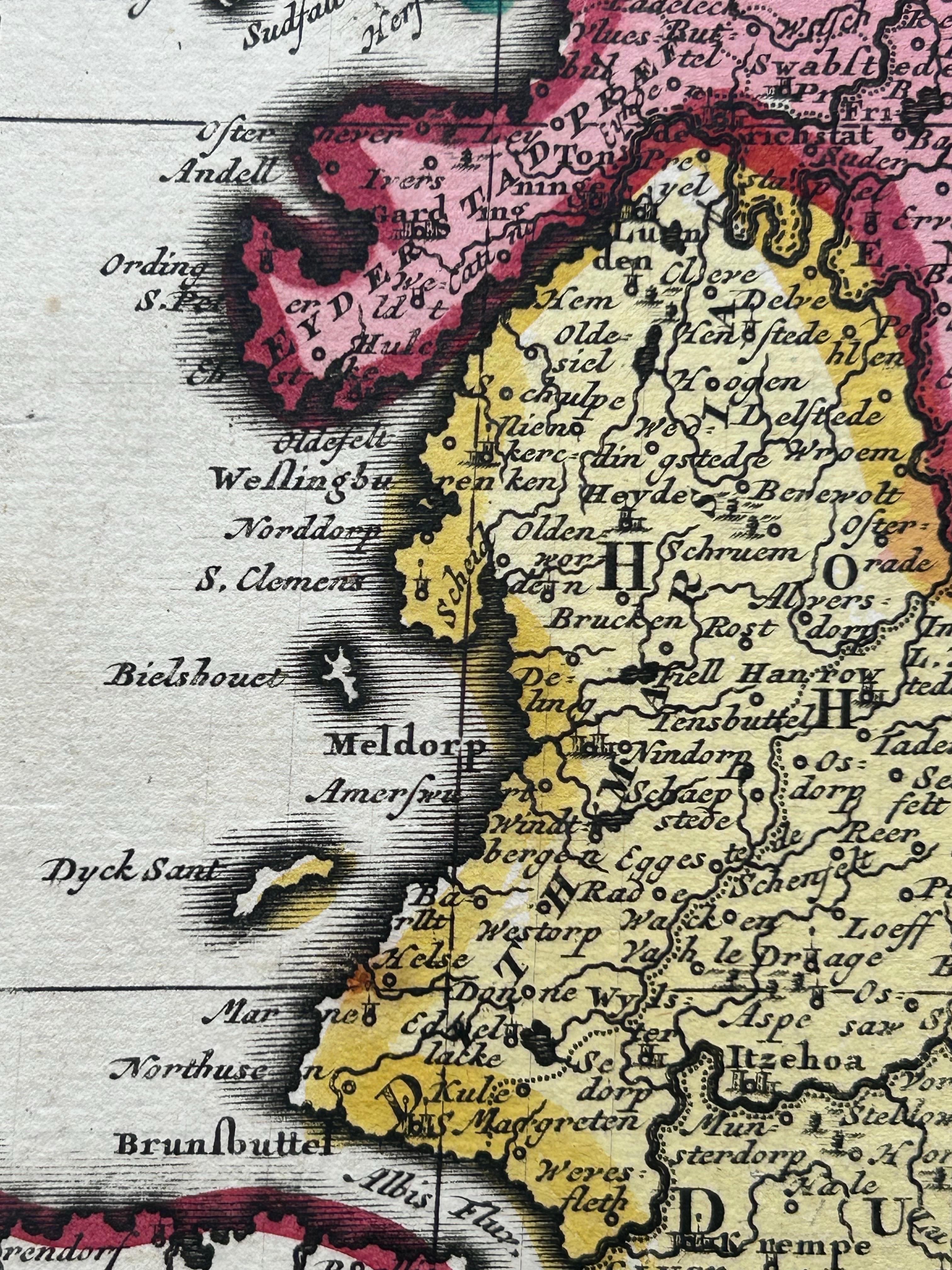
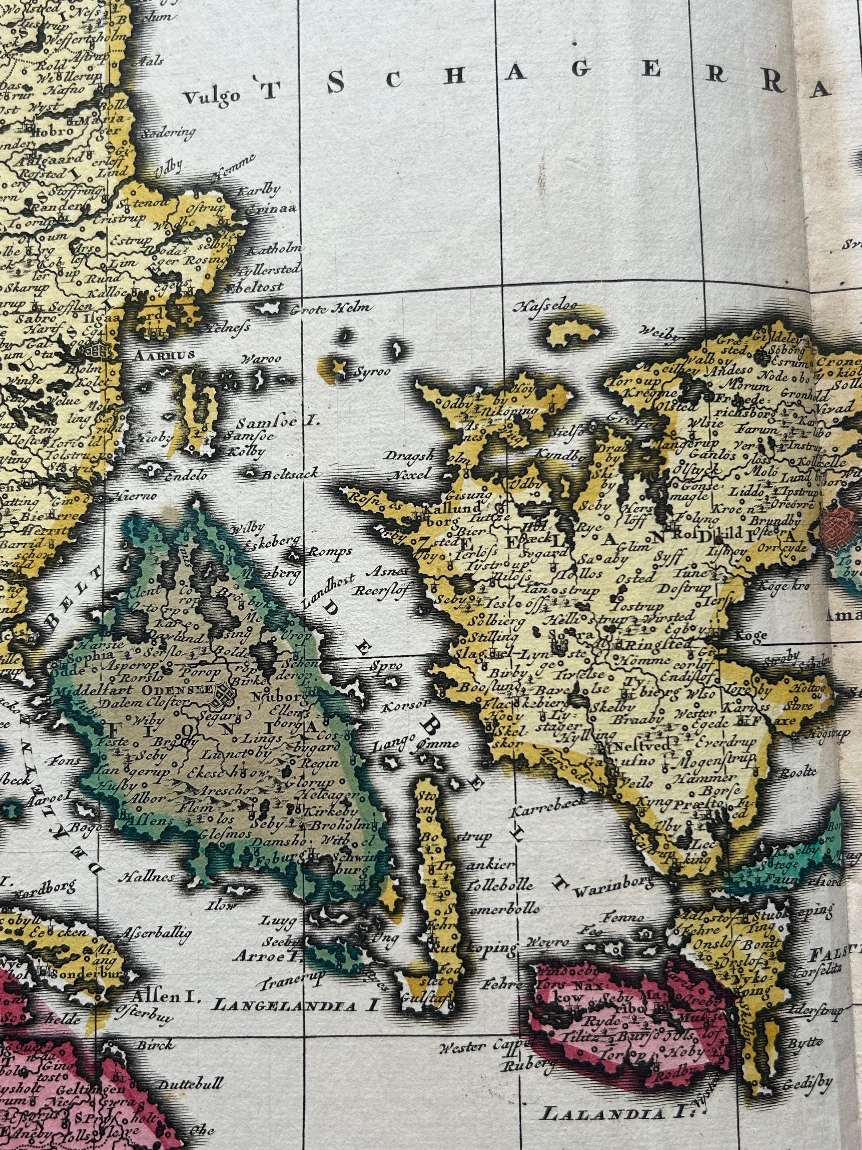
Map of Denmark Divided into Dioceses – G. & L. Valk, ca. 1690
€ 550
One of a kind: this is the sheet in the photographs. Ships from Langweer, the Netherlands.
Date
1690
Technique
Engraved
Sheet size
52.5 × 61 cm (20.7 × 24.0 in)
Condition
Good
Reference
BG-12242-2
Condition
Good, with old hand coloring. Slight toning to the edges and minor faint vertical fold as issued. No tears or repairs. A clean and attractive sheet.
About this sheet
Map of Denmark Divided into Dioceses – G. & L. Valk, ca. 1700
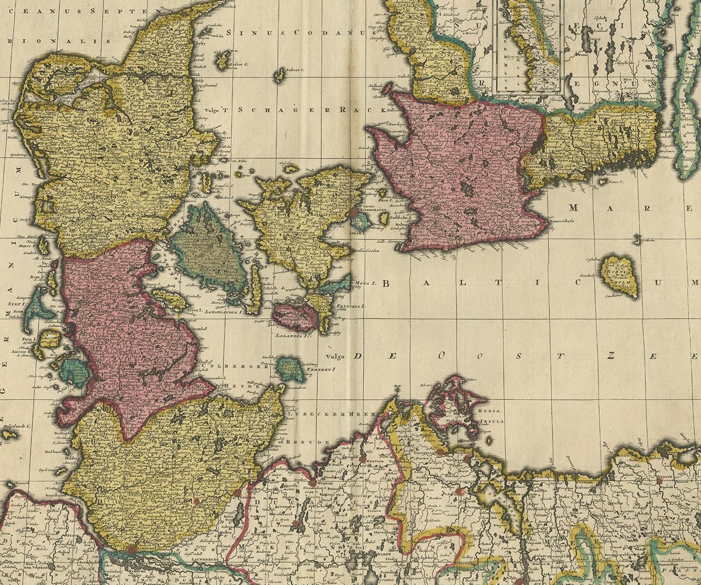
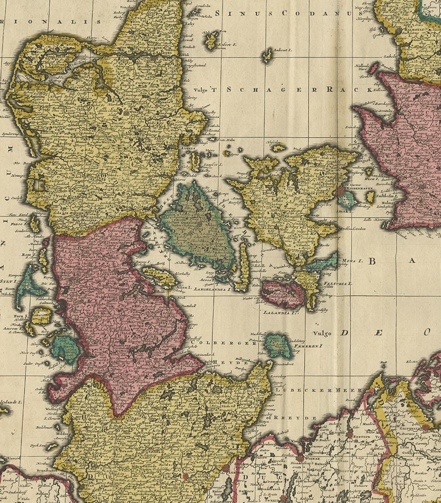
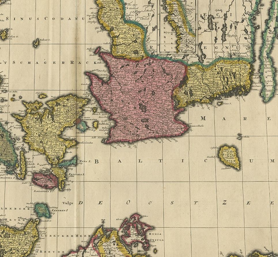
Detailed antique map titled "Regnum Daniae, divisum in Dioeceses Arhusiam, Albergum, Viborgum, et Ripam," showing Denmark and parts of northern Germany and southern Sweden. This map, published by the noted Dutch mapmakers Gerard and Leonard Valk around 1700, presents an ecclesiastical division of the Danish kingdom, highlighting dioceses including Aarhus, Aalborg, Viborg, and Ribe.
The cartography is clear and finely engraved, with the landmasses filled with place names, forested areas, rivers, and cities. Coastal outlines are finely drawn and surrounded by a grid of rhumb lines, suggesting the map’s use for both administrative and nautical purposes. The emphasis on diocesan boundaries provides valuable historical insight into church governance in early modern Scandinavia. A decorative title cartouche graces the upper portion, and the whole is surrounded by a neatline typical of Valk maps.
This map is a strong example of the Valk family's work—Gerard and Leonard were known for continuing the legacy of earlier cartographers like Blaeu and Janssonius, and their atlases remained widely used in the early 18th century.
Condition report: Good, with old hand coloring. Slight toning to the edges and minor faint vertical fold as issued. No tears or repairs. A clean and attractive sheet.
Framing tips: A gold-leaf frame or natural oak, paired with a cream or off-white mat, will enhance the antique feel. Consider museum glass to reduce reflection and preserve detail.