Original antique · The actual sheet photographed · Certificate of authenticity on request · Sold unframed · Worldwide shipping from € 15 (rates)
Date
1912
Sheet size
57 × 48.5 cm (22.4 × 19.1 in)
Condition
Good
Reference
BG-12367-3
What the condition grades mean
Excellent
Bright and clean, with no faults worth mentioning.
Very good
Only light signs of age, such as faint toning.
Good
Normal signs of age for a sheet of this period: toning, some foxing, small marks or neat old repairs.
Fair
Clear faults such as staining, tears or repairs, priced to match.
Every fault we see is written in the condition note, and the whole sheet is shown uncropped in the photos.
Condition
Some foxing and general age-related toning. Complete booklet. Please review the images for further condition details.
About this sheet
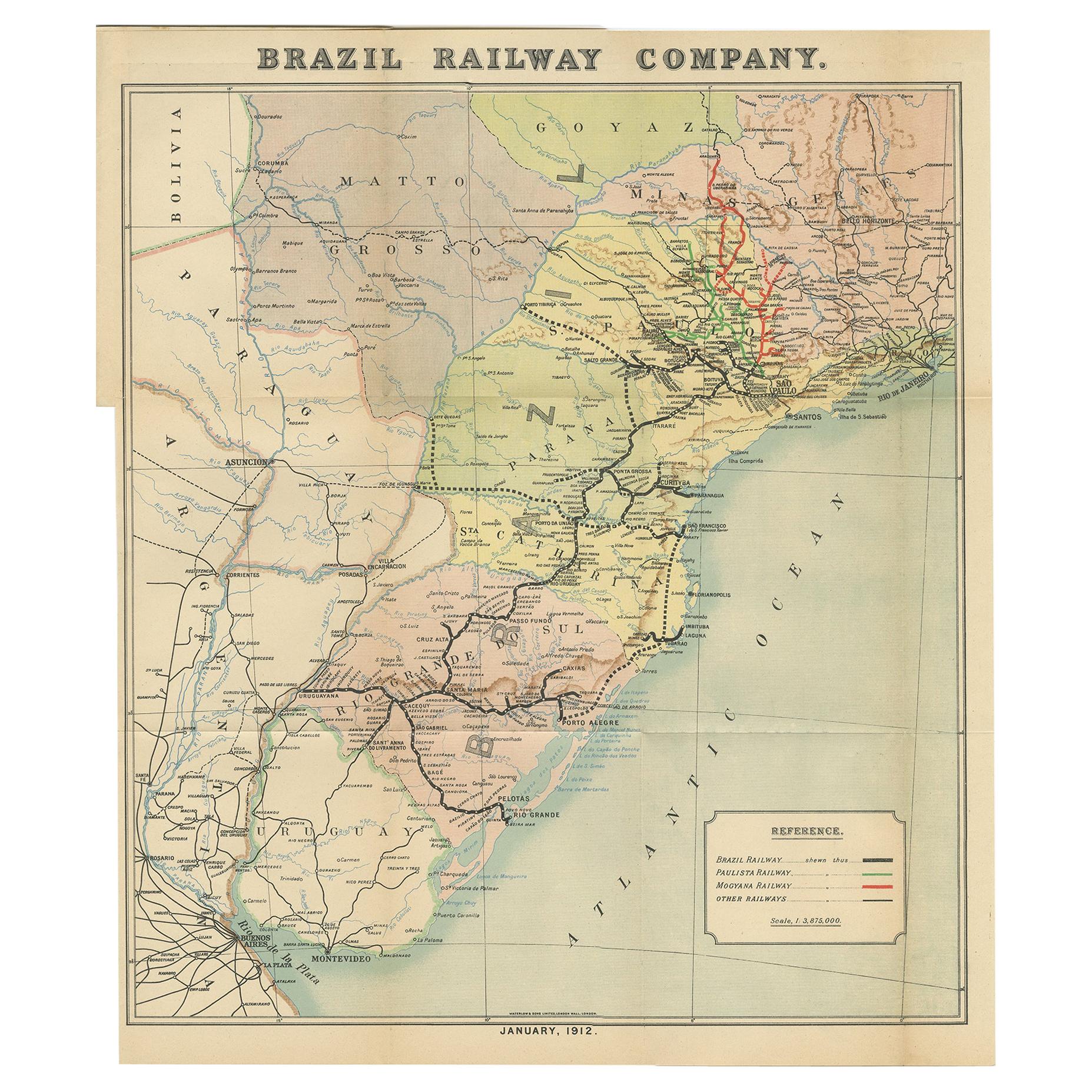
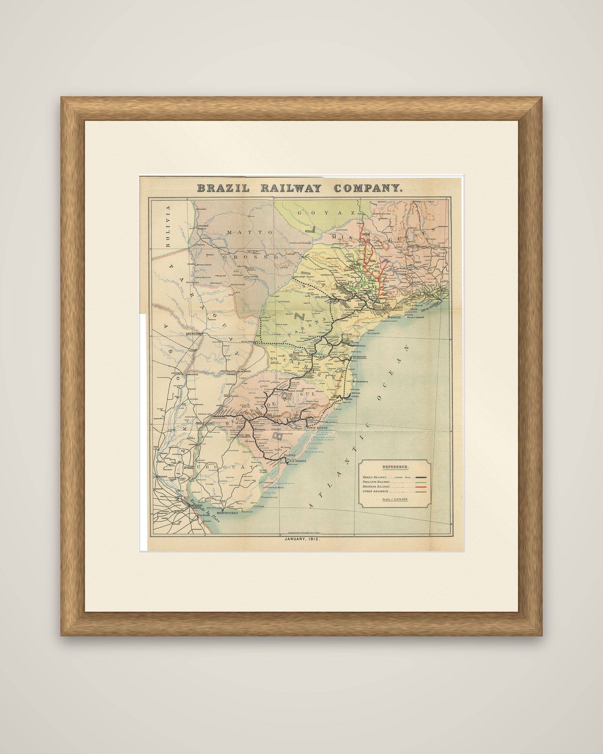
Brazil Railway Company, a folding map dated January 1912, issued with the booklet "The Brazil Railway Company," a memorandum by A. H. A. Knox-Little, the company's European Manager. The sheet is a color-printed map with the title across the top margin.
The map covers southern Brazil, from Minas Geraes and Goyaz in the north to Rio Grande do Sul in the south, with the states of Sao Paulo, Parana and Santa Catarina in the center, and the neighboring parts of Bolivia, Paraguay, Uruguay and Argentina at the edges, down to Buenos Aires and Montevideo at the foot. Rivers and towns are named, and the railways are traced in color: a legend at lower right distinguishes the Brazil Railway, the Paulista Railway, the Mogyana Railway and other railways, with the scale given beneath.
The map was made to show investors and readers the extent of the company's lines in the south of Brazil, and it records the rapid growth of the Brazilian railway network in the early twentieth century.