Maps & PrintsBartele Gallery · Langweer
Home / Antique Maps / Europe / Eastern Europe

Eastern Europe · 18th century

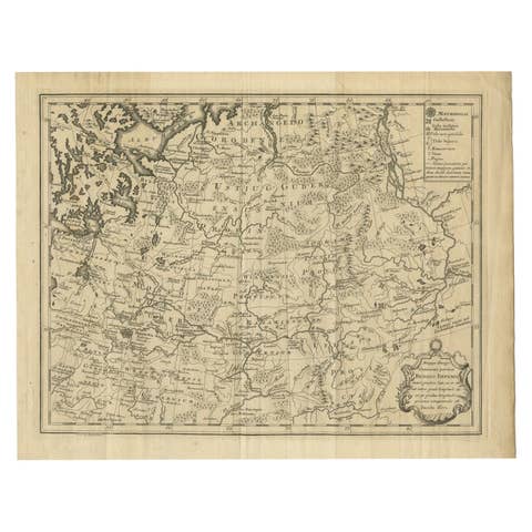
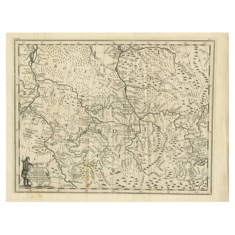
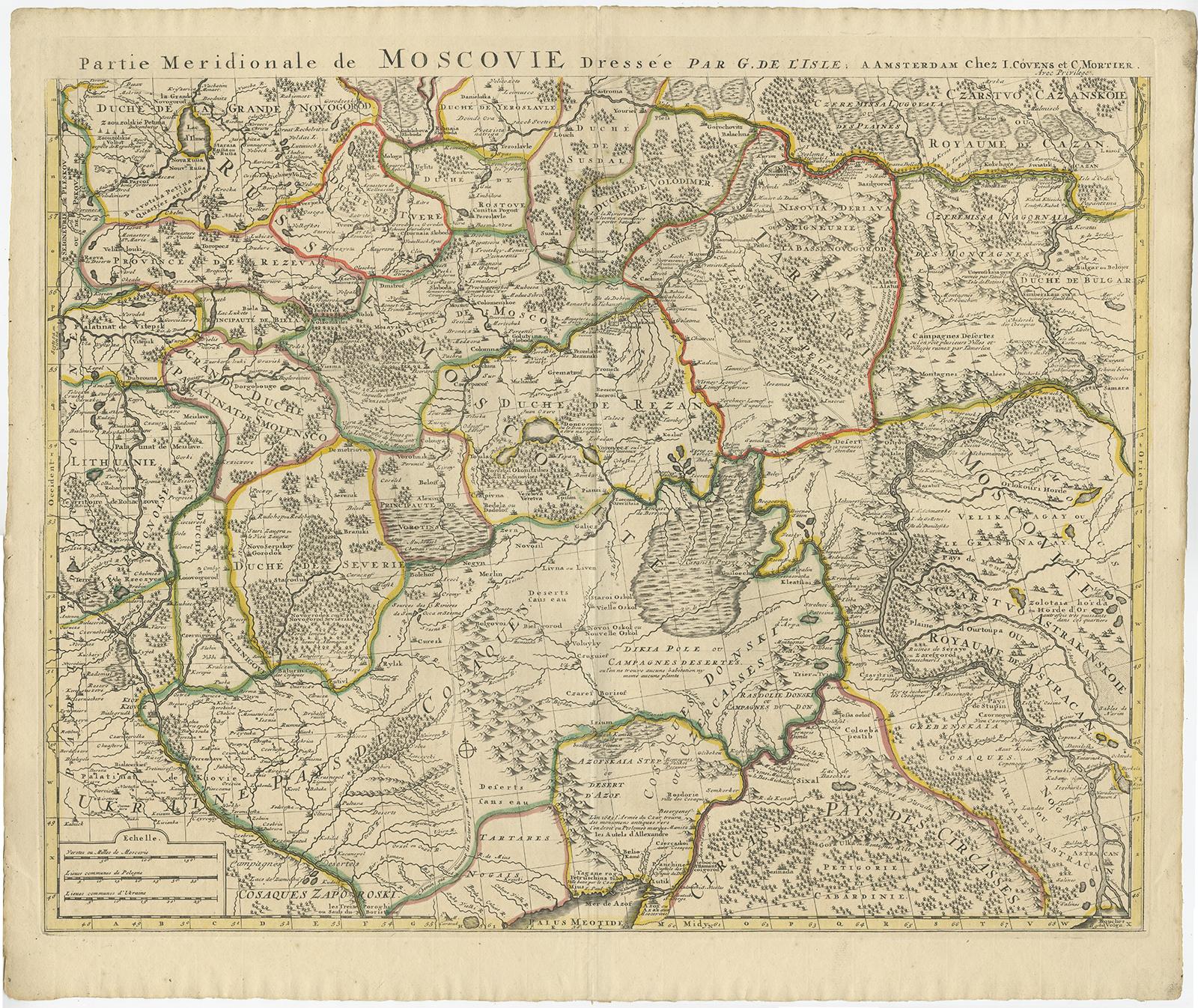
Antique Map of Western Russia by Covens & Mortier, 1740

€ 950

One of a kind: this is the sheet in the photographs. Ships from Langweer, the Netherlands.

Date
1740
Sheet size
56 × 66 cm (22.0 × 26.0 in)
Condition
Good
Reference
BG-12172-1 & BG-12172-2

Condition

General age-related toning. Minor wear, please study images carefully.
About this sheet

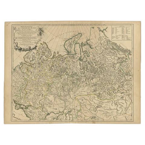
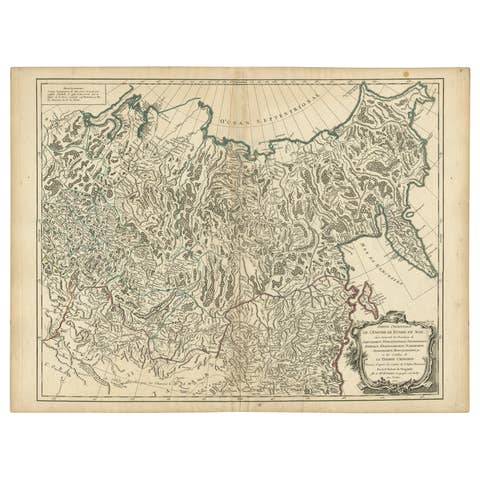
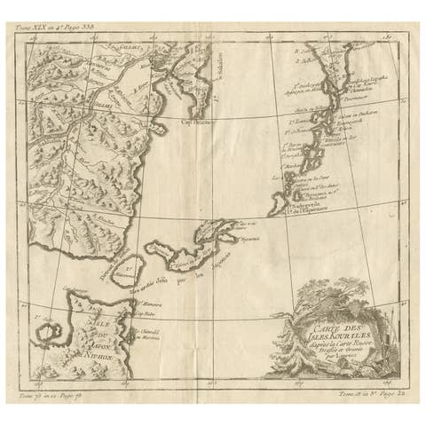
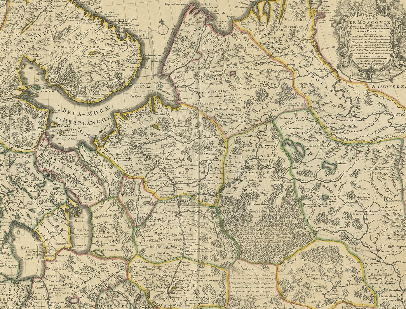
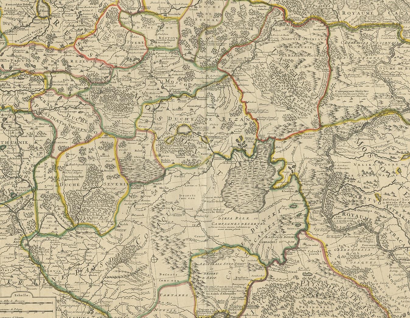
Antique map titled 'Carte de Moscovie'. Antique map of the western portion of Russia. The map centers on Moscow (shown near the top of the lower sheet) and spans from the Sea of Azov in the south to the White Sea in the north. The top portion of the map includes St. Petersburg just west of Lake Ladoga and portions of southern Finland.

This map exists of two separate sheets which can be joined together. Beautiful original/contemporary hand coloring.

More from Eastern Europe

Ask about this sheet

Antique Map of Western Russia by Covens & Mortier, 1740
1740 · Ref. BG-12172-1 & BG-12172-2 · € 950
We reply by email, usually within one working day.