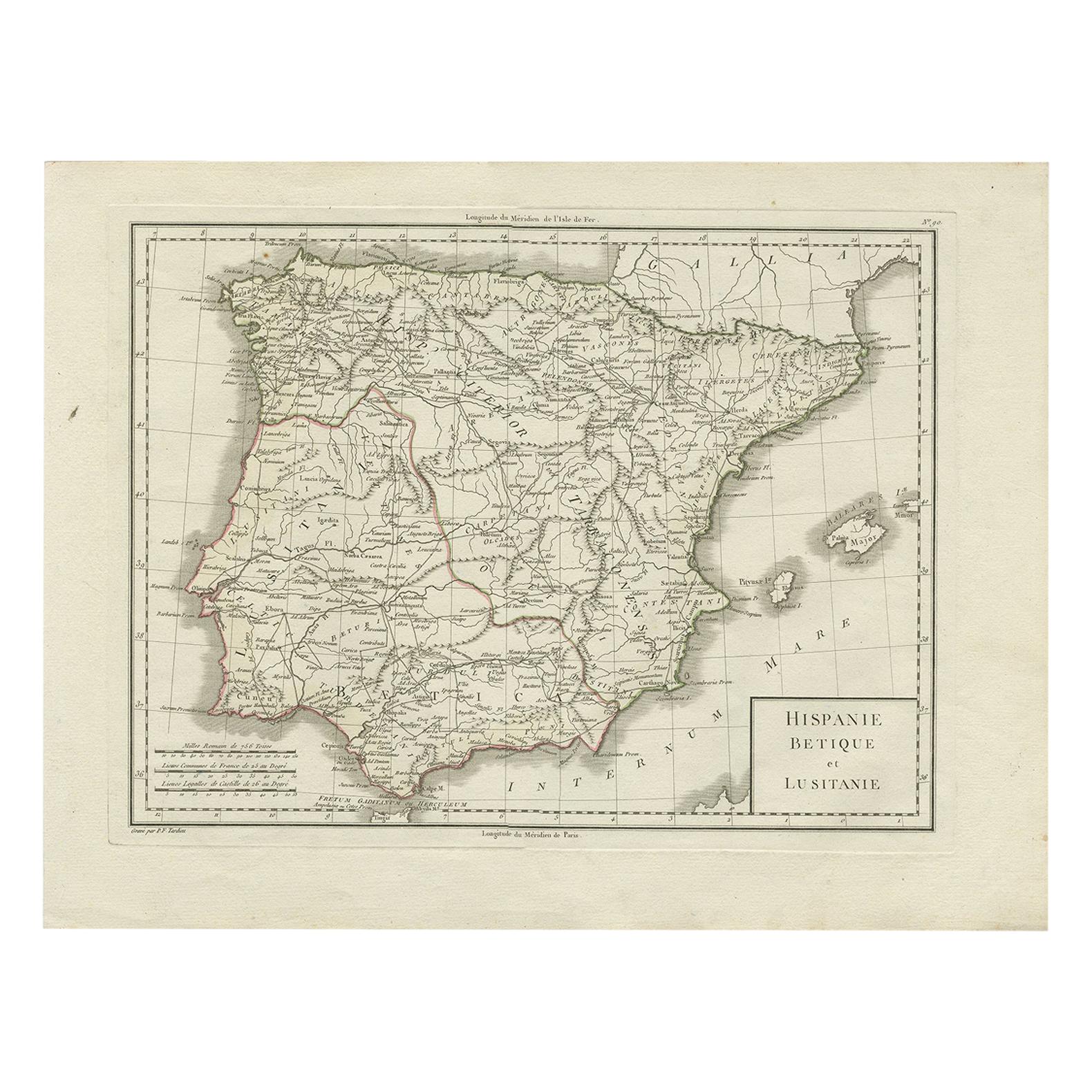
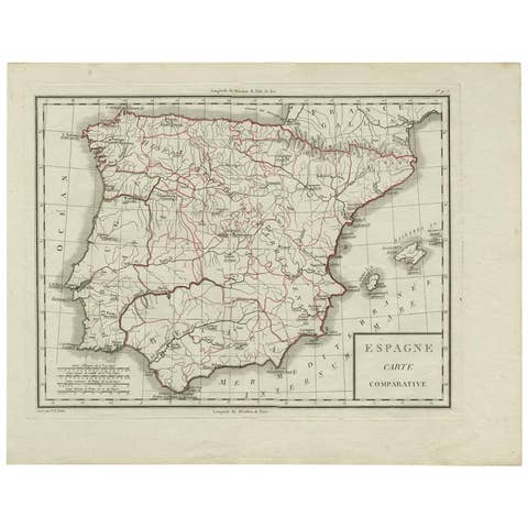
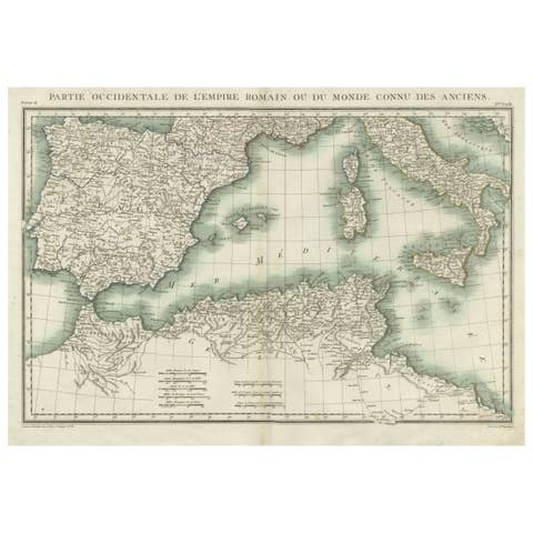
Antique Map of Spain and Portugal by Tardieu, circa 1795
€ 250
Original antique · The actual sheet photographed · Certificate of authenticity on request · Sold unframed · Worldwide shipping from € 15 (rates)
Date
1795
Sheet size
41 × 54 cm (16.1 × 21.3 in)
Condition
Good
Reference
BG-00464
What the condition grades mean
Excellent
Bright and clean, with no faults worth mentioning.
Very good
Only light signs of age, such as faint toning.
Good
Normal signs of age for a sheet of this period: toning, some foxing, small marks or neat old repairs.
Fair
Clear faults such as staining, tears or repairs, priced to match.
Every fault we see is written in the condition note, and the whole sheet is shown uncropped in the photos.
Condition
General age-related toning. Few tiny defects/holes in the map (nearly invisible). Please review the images for further condition details.
About this sheet
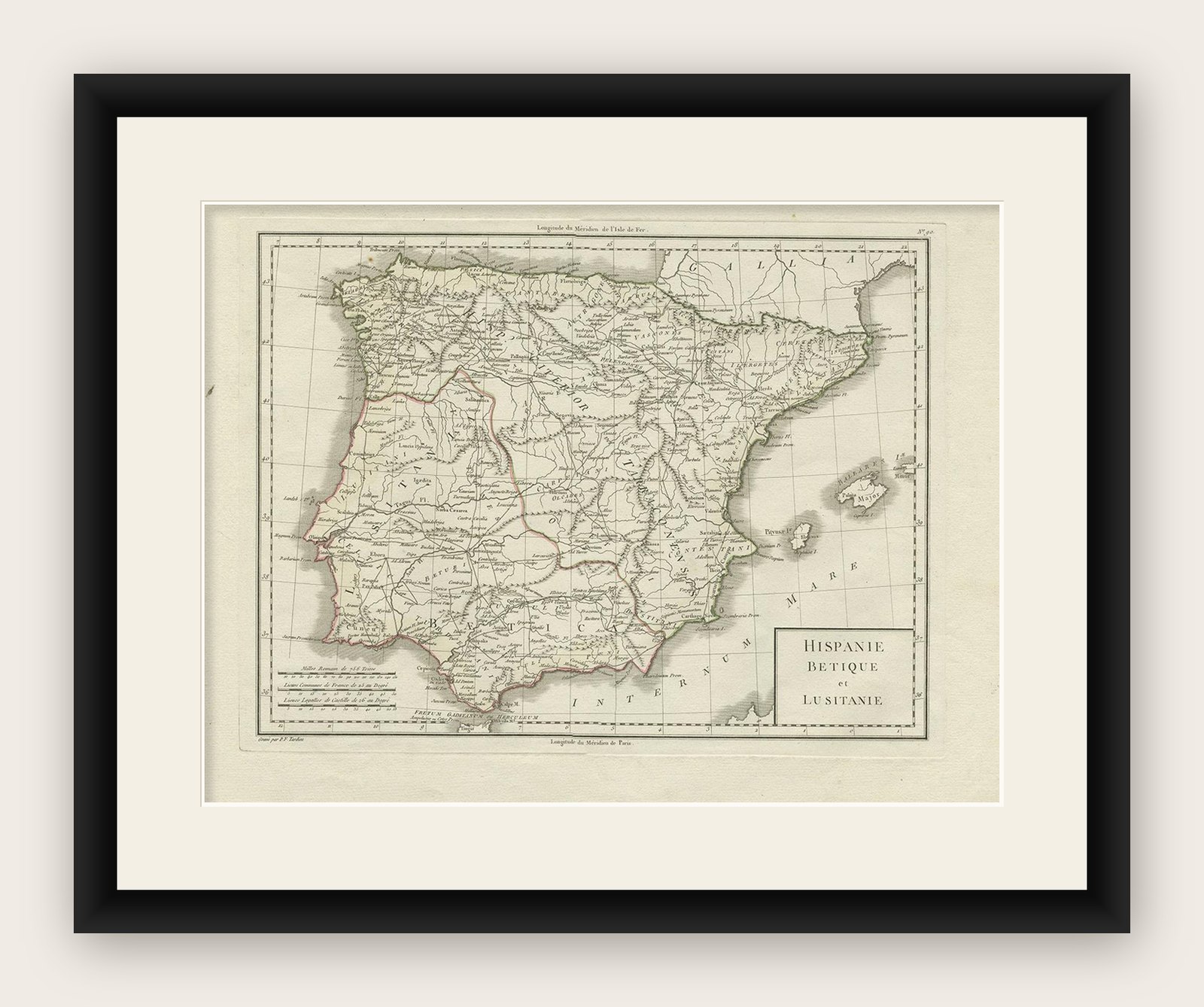
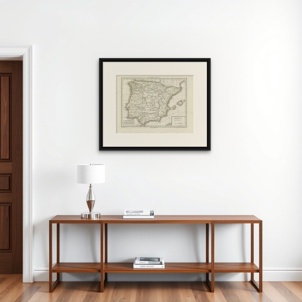
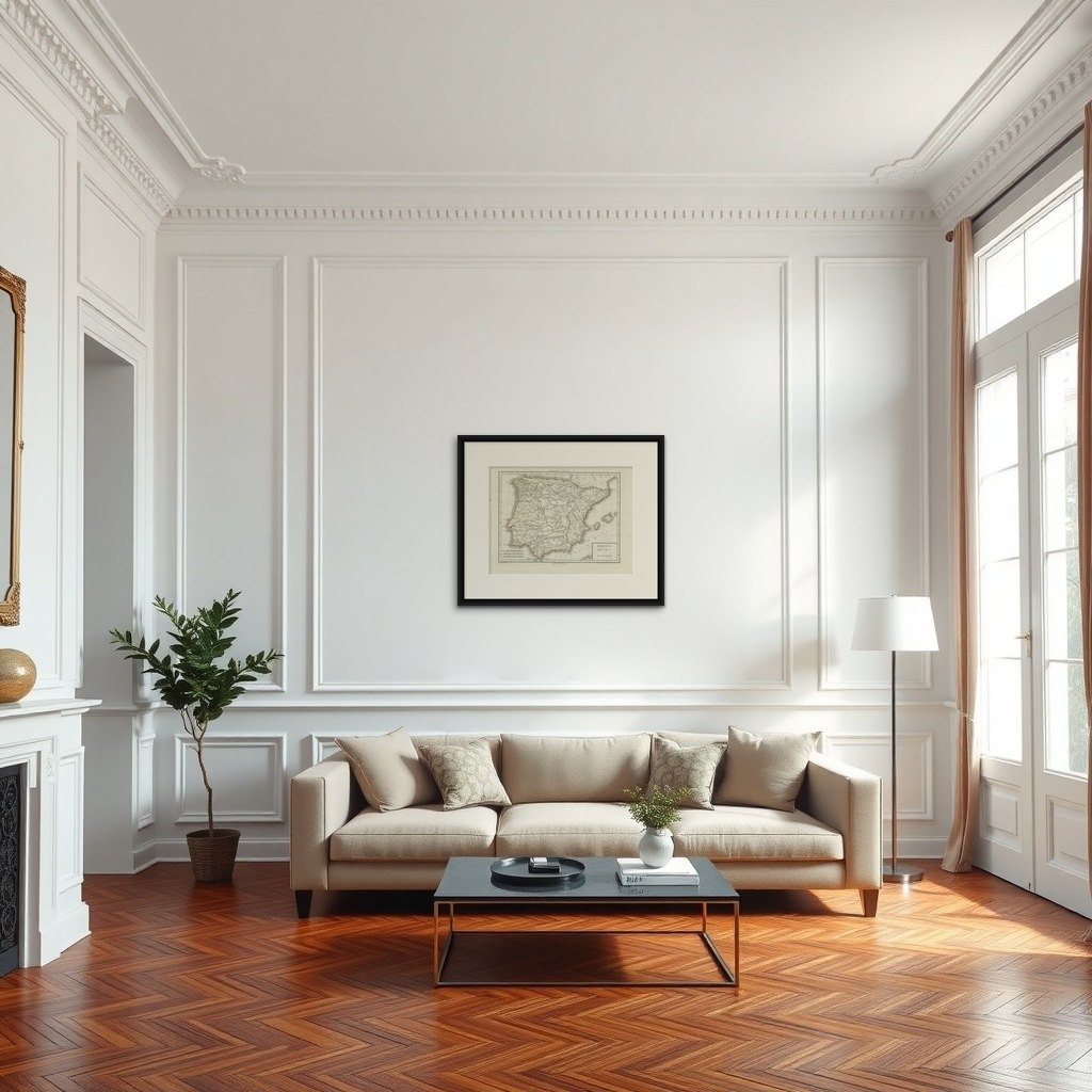
The image is an antique map titled "Hispanie Betique et Lusitanie", which depicts the Iberian Peninsula during the Roman times, highlighting the provinces of Hispania Baetica (Betique), Lusitania, and parts of Tarraconensis. These Roman provinces correspond to large parts of modern-day Spain and Portugal.
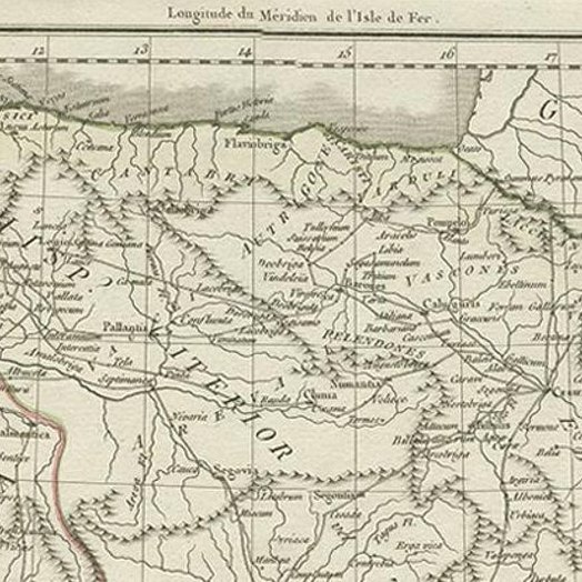
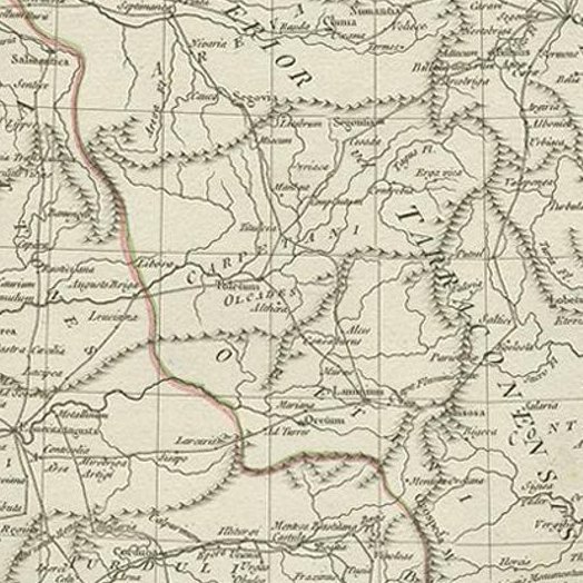
The map shows a detailed layout of the provinces with Roman settlements, roads, and topographic elements like rivers and mountain ranges. The coastline is intricately detailed, with the Mediterranean Sea labeled as "Mare Internum", the Atlantic Ocean to the west, and the Cantabrian Sea in the north. Borders of the provinces are demarcated, with Baetica to the south, Lusitania covering the western region, and the northern part of the map hinting at the expanse of Tarraconensis.
The map likely contains labels for important Roman cities, roads (such as the Via Augusta), rivers like the Guadalquivir and Tagus, and mountain ranges such as the Sierra Morena and the Cantabrian Mountains. The cartography style suggests a publication date that could be from the late 18th to early 19th century, a period when there was a renewed interest in classical geography.
The map comes from the work "Atlas Universel de geographie physique et politique, ancienne et moderne" by the geographers Edme Mentelle and Pierre Grégoire Chanlaire, published in Paris. The atlas aimed to provide comprehensive coverage of world geography, both contemporary and historical, which would have been an invaluable resource for scholars and the general public interested in geography and history during that period.
The title cartouche is simple and functional, matching the utilitarian style of the map. The overall aesthetic reflects the Enlightenment ideals of clarity, education, and a deep respect for the classical world, which would have been the guiding principles of the atlas this map was a part of.