About this sheet
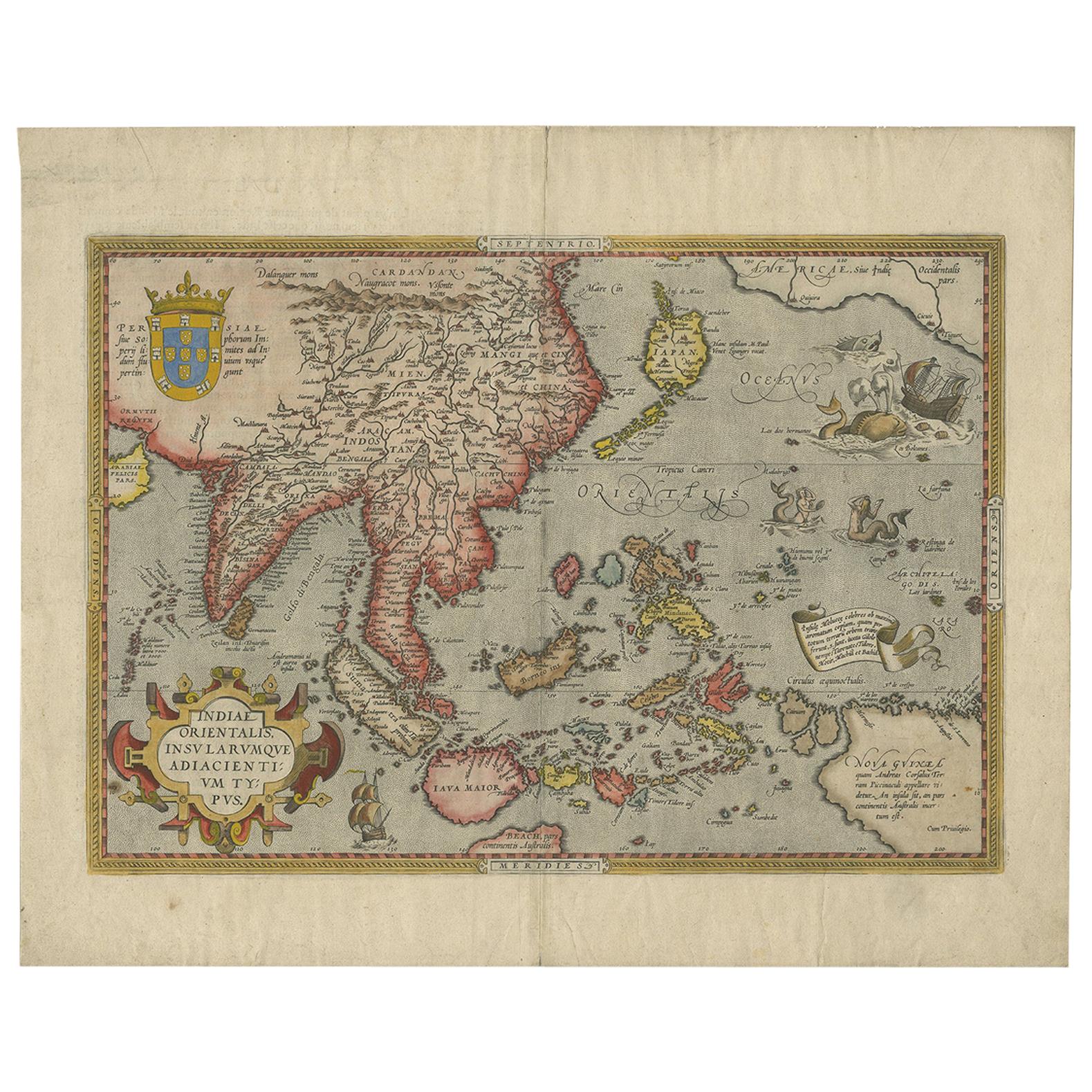
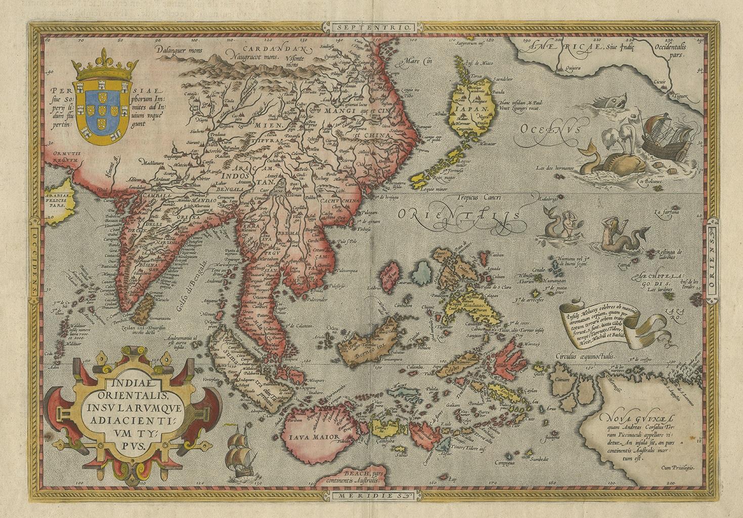
Ortelius Asia Japan China Taiwan Philippines East Indies Antique Map 1570
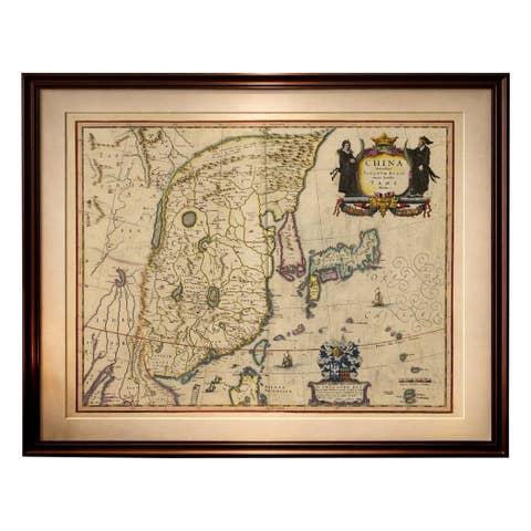
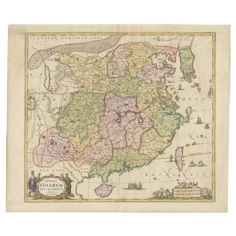
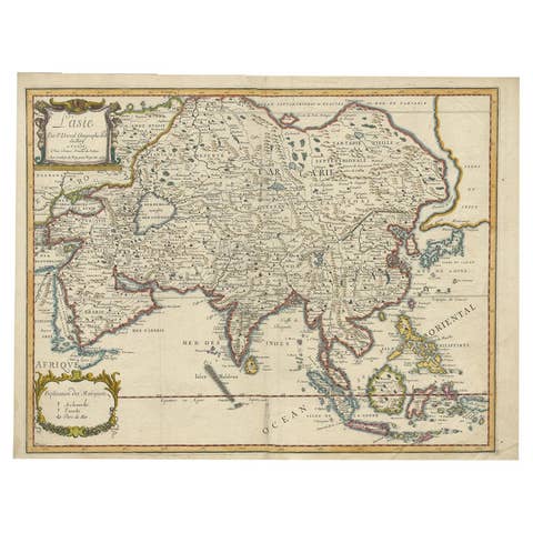
This highly important early map of Asia titled “Indiae Orientalis Insularumque Adiacientium Typus” is one of the most influential 16th-century European depictions of East and Southeast Asia. Published by Abraham Ortelius for his groundbreaking atlas Theatrum Orbis Terrarum, this map presents a sweeping geographical vision of the Far East before the full penetration of the Dutch into the region. It covers India, Indochina, China, Korea, Japan, the Philippines, the East Indies or Spice Islands, New Guinea, and parts of the western Pacific.
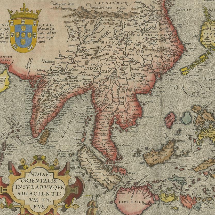
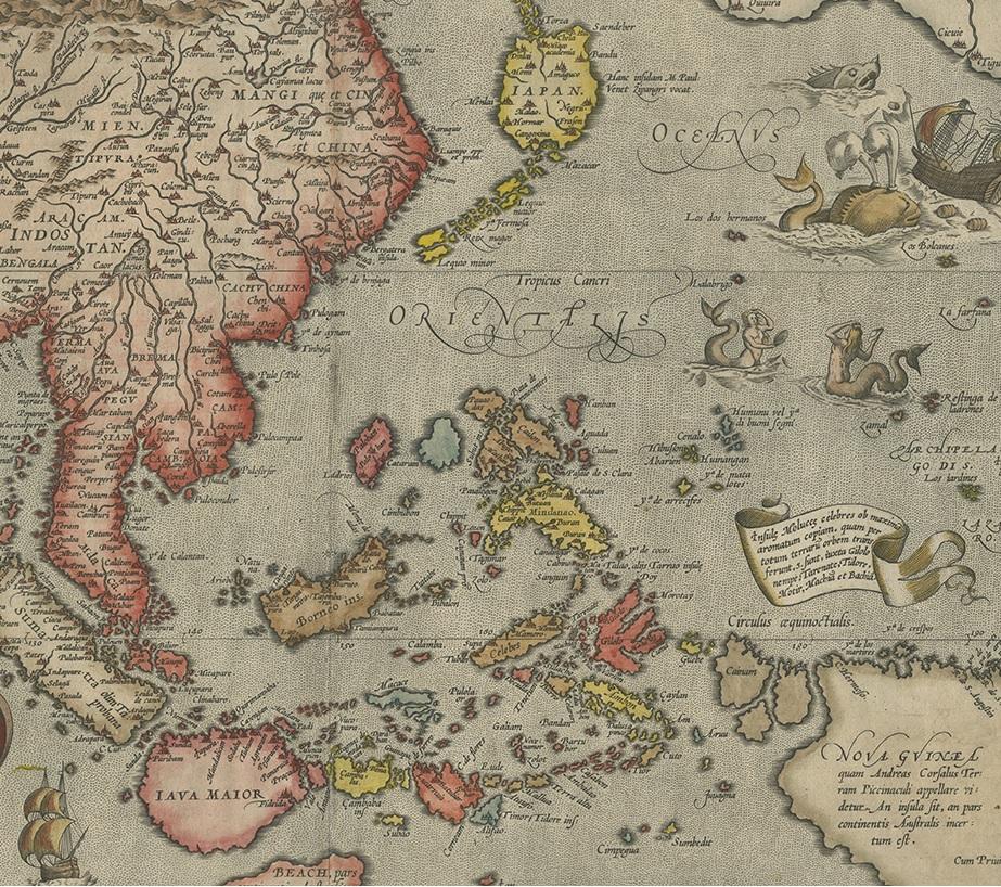
Ortelius was the first European cartographer to name Formosa (modern Taiwan), marking a milestone in Western geographic knowledge of Asia. Japan appears in its famous early “kite-shaped” form, shown as a large oval island flanked by chains of smaller islands to the north and south, reflecting early Portuguese and Jesuit source material. China is shown with surprising interior detail for the period, while the Philippines and East Indies are mapped prior to Dutch colonial dominance, relying on Iberian maritime intelligence.
An extraordinary feature of this map is the inclusion of parts of the northwestern coast of America, showing the legendary cities of Quiuira, Cicuie, and Tigeux across the Pacific. These speculative settlements reflect the enduring influence of Marco Polo and early Spanish exploration myths on European geographic thought. Decorative elements include a Portuguese royal coat of arms, ornate cartouches, sailing ships, mermaids, sea monsters, and navigational details that exemplify the artistic brilliance of the Dutch Golden Age of cartography.
The map is printed from a finely engraved copperplate and retains strong original hand coloring. The French text on the verso confirms its publication for the French market edition of Ortelius’ atlas. This is a cornerstone map for collectors of early Asia, Japanese cartography, Taiwan history, and global exploration of the 16th century.
Condition Report
Good antique condition. Original laid paper with light overall age toning. Vertical centerfold as issued. Minor creasing, light scattered spotting, and faint handling wear. Margins full. Color well preserved with no major losses.
Framing Tips
This map displays beautifully in a classic dark walnut, gilded, or black museum-style frame with a wide off-white or warm ivory mat. Museum glass is strongly recommended to protect the original hand coloring and enhance fine engraving detail.
Technique: Copperplate engraving with original hand colouring
Maker: Abraham Ortelius, Antwerp, circa 1570