Antique Maps
5,418 original sheets
Europe 3023Asia 1110Africa 236America 548Australia & Oceania 159World Maps 111Sea Charts 209Celestial Maps 22
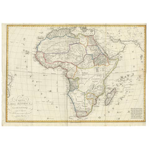
Antique Map of Africa by Bordiga Fratelli 'circa 1818'
1818 · € 1 800
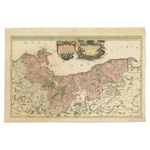
Original Hand-colored Antique Map of Pomerania by Sanson '1684'
1684 · € 950
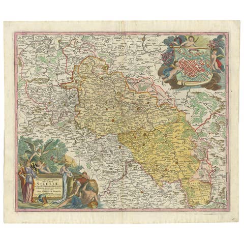
Antique Map of Silesia, Southwest Poland and a City View of Wroclaw, c 1720
1720 · € 880
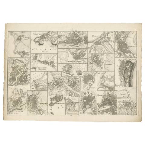
Antique Map of Various Ports in France by Röder 'circa 1800'
1800 · € 1 850
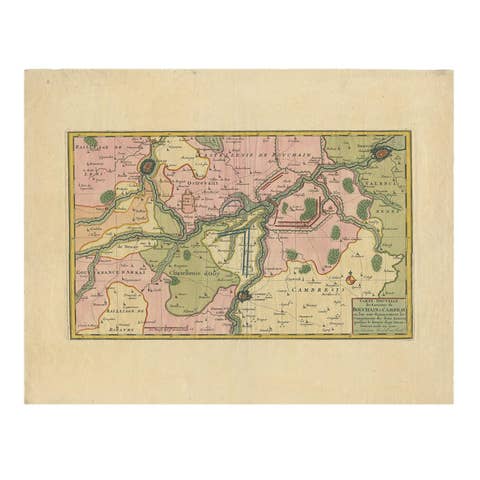
Antique Map of the Region of Bouchain and Cambrai by Visscher 'circa 1680'
1680 · € 500
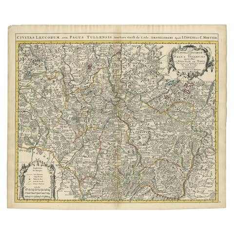
Antique Map of the Diocese of Toul by Covens & Mortier, circa 1720
1720 · € 670
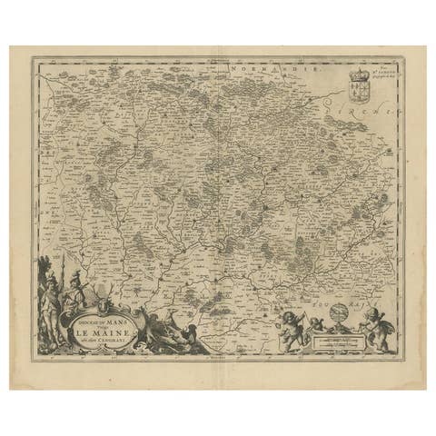
Antique Map of the Region of Maine by Janssonius, circa 1650
1650 · € 450
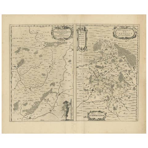
Antique Map of the Region of Vermandois and Cappelle by Janssonius, circa 1650
1650 · € 400
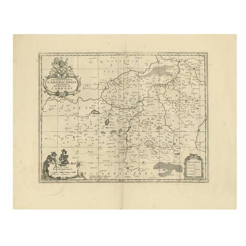
Antique Map of the Cambrai Region by Pitt, circa 1680
1680 · € 600
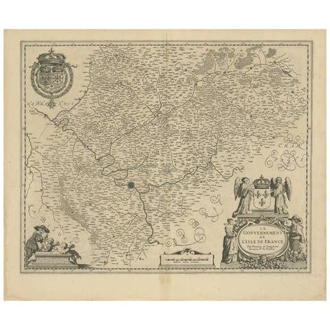
Antique Map of the Region of 'Île de France' by Janssonius, circa 1650
1650 · € 450
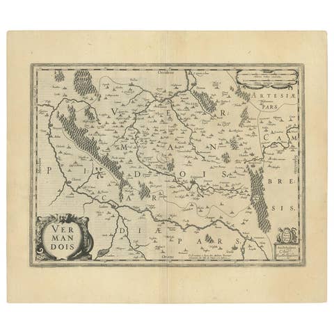
Antique Map of the Vermandois Region by Janssonius, circa 1650
1650 · € 450
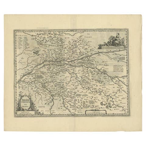
Antique Map of the Region of Touraine by Janssonius 'circa 1650'
1650 · € 450
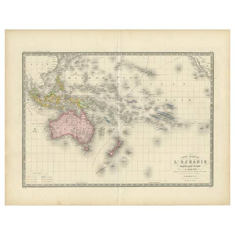
Antique Map of Oceania by Levasseur, circa 1860
1860 · € 250
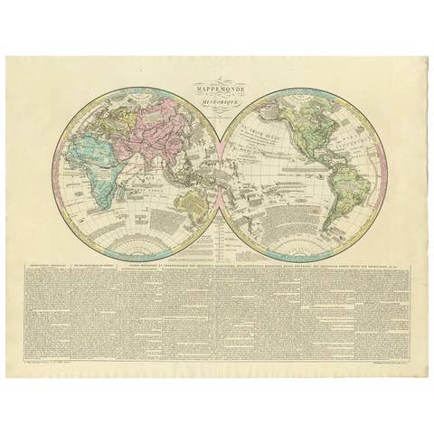
Antique World Map by Lesage, 1823
1823 · € 300
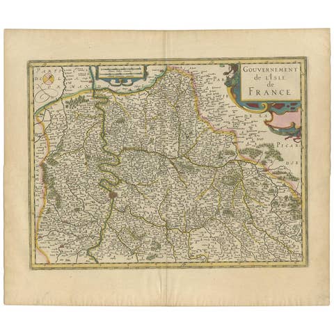
Antique Map of the Region of Île-de-France by Hondius, circa 1630
1630 · € 550
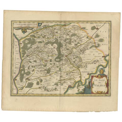
Antique Map of the Region of Valois by Hondius, circa 1630
1630 · € 455
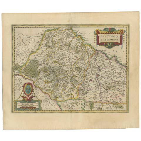
Antique Map of the Region of Étampes and Sens by Hondius, circa 1630
1630 · € 500
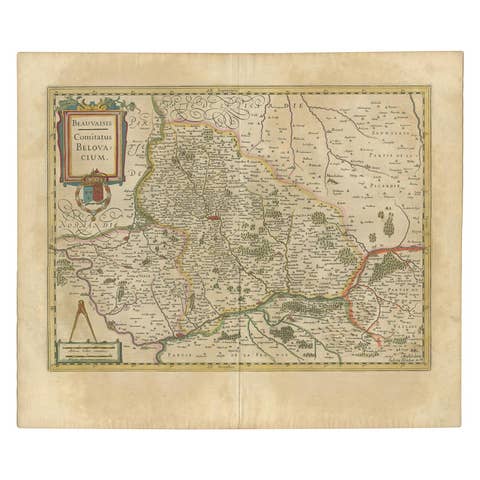
Antique Map of the Region of Beauvais by Hondius, circa 1630
1630 · € 500
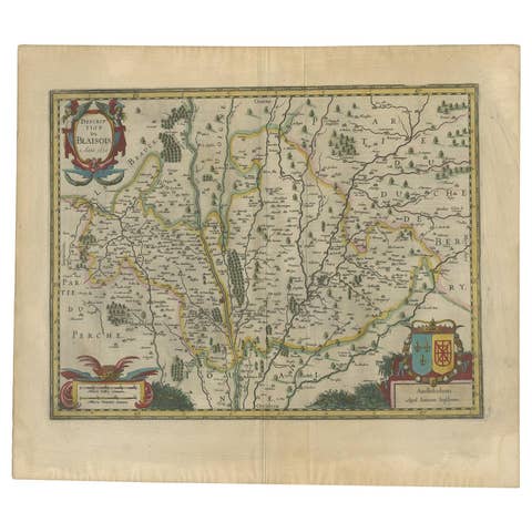
Antique Map of the Region of Blois by Janssonius, 'circa 1640'
1640 · € 500
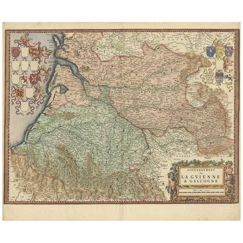
Cartographic Treasures: A Journey Through the Gascogne and Guyenne Regions, 1680
1680 · € 750
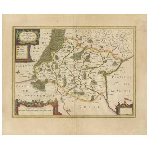
Antique Map of the Region of Hauts-de-France by Hondius, circa 1630
1630 · € 453
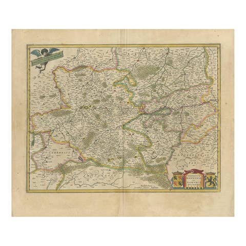
Antique Map of the Hainaut and Namur Region by Janssonius, 'circa 1640'
1640 · € 461
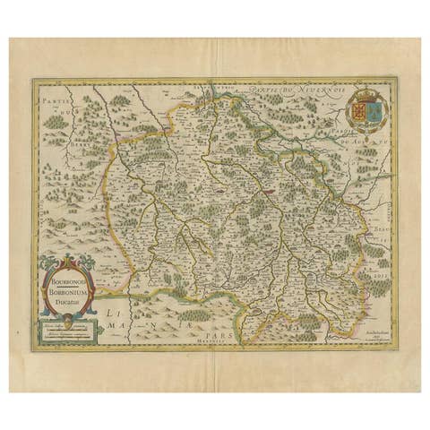
Antique Map of the Region of Bourbonnais by Janssonius, circa 1640
1640 · € 453
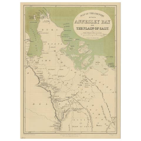
Antique Map of the Region Near the Gulf of Zula, 1870
1870 · € 120
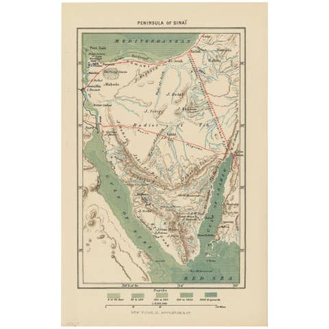
Antique Map of the Sinai Peninsula, '1895'
1895 · € 100
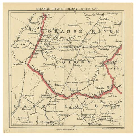
Antique Map of the Southern Part of the Orange River Colony by Stanford, 1901
1901 · € 100
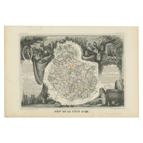
Antique Map of Côte d'Or ‘France’ by V. Levasseur, 1854
1854 · € 150
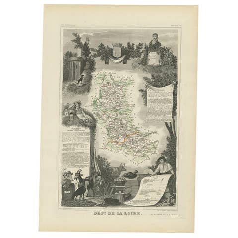
Antique Map of Loire ‘France’ by V. Levasseur, 1854
1854 · € 150
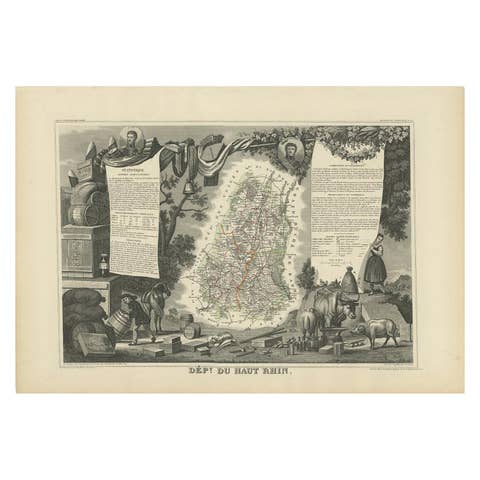
Antique Map of Haut-Rhin, France by V. Levasseur, 1854
1854 · € 150
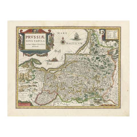
Antique Map of Prussia – Blaeu “Prussiae Nova Tabula”, c.1635
1635 · € 546
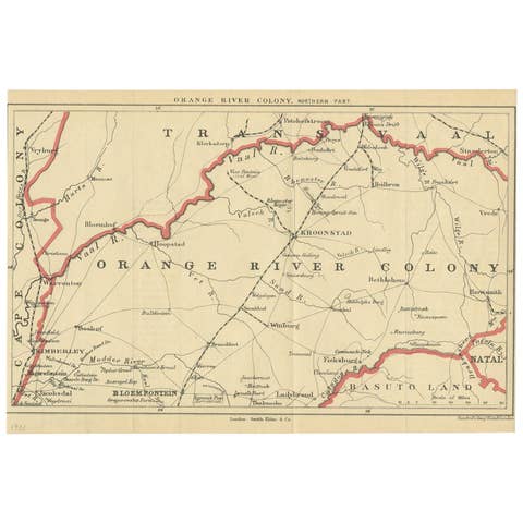
Antique Map of the Orange River Colony in South Africa, 1901
1901 · € 173
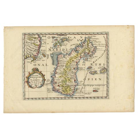
Antique Map of Madagascar by N. Sanson, circa 1680
1680 · € 250
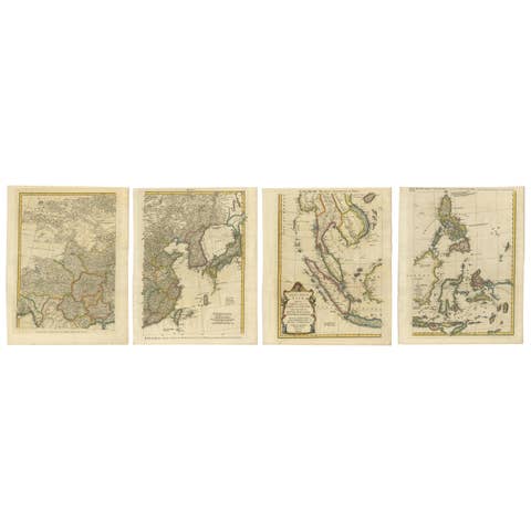
Set of Four Original Antique Maps of Asia by Bolton & Seale, circa 1770
1770 · € 7 850
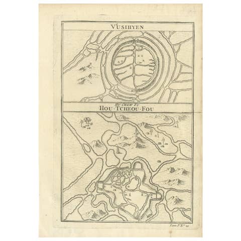
Antique Map of Wuxi and Huzhou by Prévost '1746'
1746 · € 100

Antique Map of the region near Annesley Bay by Wagner, 1870
1870 · € 160
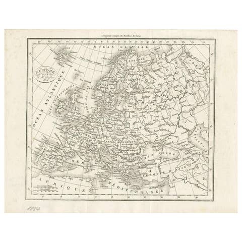
Nice Decorative Black and White Small Antique Map of Europe, 'circa 1834'
1834 · € 200
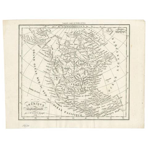
Antique Map of North America by Dufour 'circa 1834'
1834 · € 200
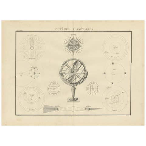
Systèmes Planétaires Antique Print, Celestial Models Chart, 1842
1842 · € 780
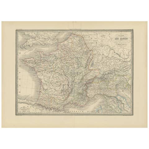
Antique Map of France by Pierre M. Lapie, Mid-19th Century Print
€ 296
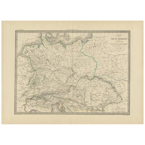
Antique 1842 Map of Germany by Pierre M. Lapie, Mid-19th Century
1842 · € 350
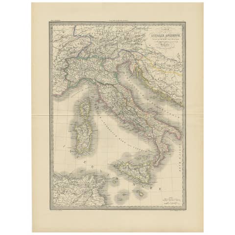
Antique Map of Italy by Pierre M. Lapie, Paper Print, Mid-19th Century
€ 500
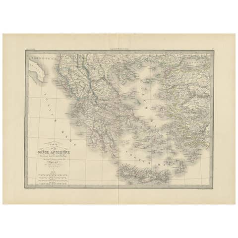
Antique 1842 Map of Greece by Pierre M. Lapie, Mid-19th Century
1842 · € 500

Antique Map of Europe by Pierre M. Lapie, Engraved, France, 1842
1842 · € 370
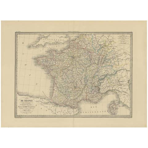
Antique Map of France by Pierre M. Lapie, Mid-19th Century Print
€ 360
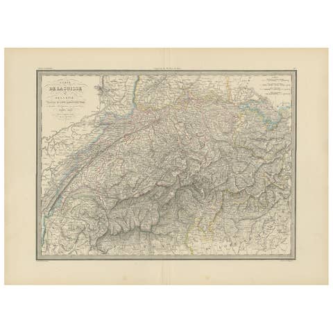
Antique Map of Switzerland by Lapie, 1842
1842 · € 370
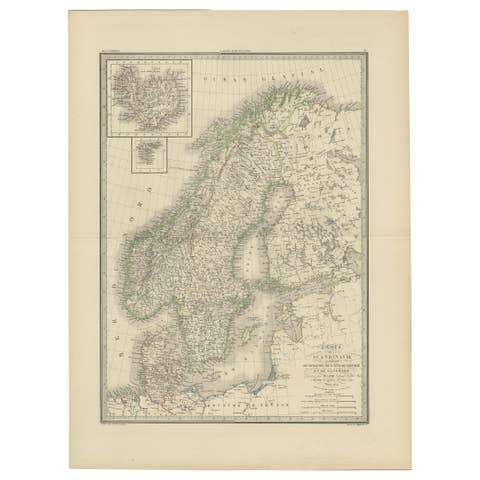
Antique Map of Scandinavia by Lapie, 1842
1842 · € 380

Antique Map of Asia by Lapie, 1842
1842 · € 340
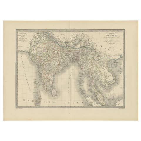
Antique Map of India and Ceylon by Pierre M. Lapie, Paper, 1842
1842 · € 380