Maps & PrintsBartele Gallery · Langweer
Home / Antique Maps / Europe / Western Europe / France

France · 17th century

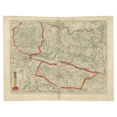
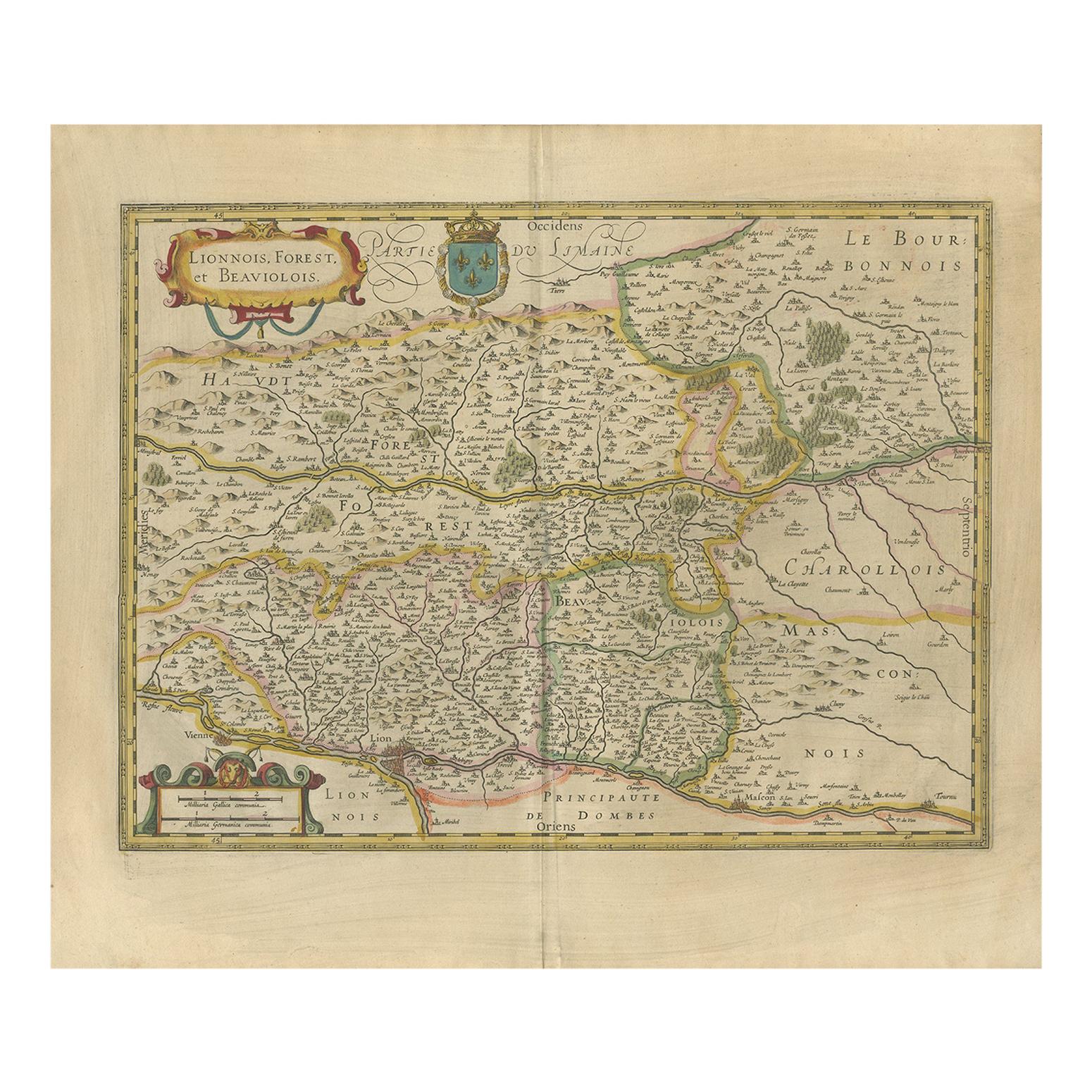
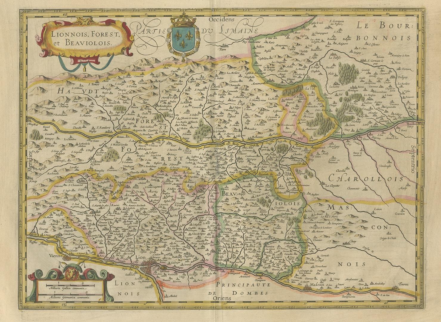
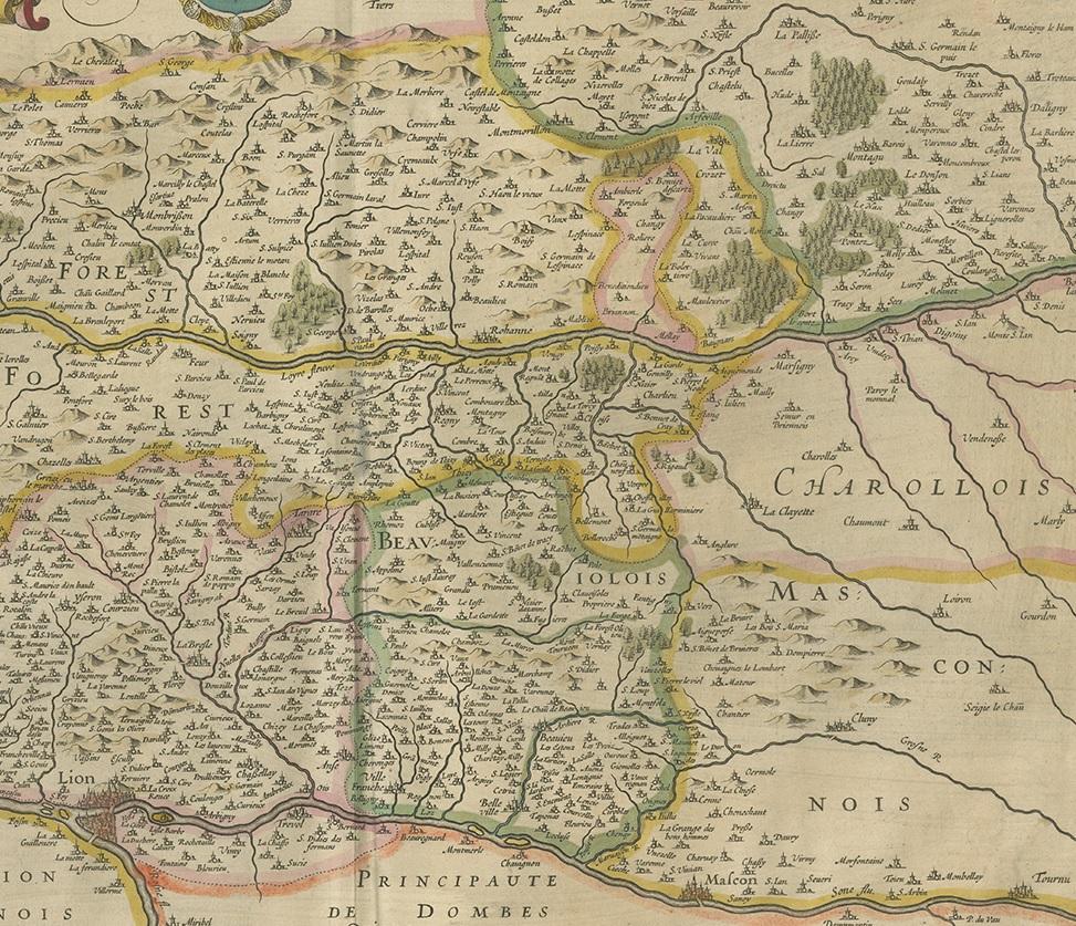
Antique Map of the Region of Lyon by Hondius, circa 1630

€ 390

One of a kind: this is the sheet in the photographs. Ships from Langweer, the Netherlands.

Date
1630
Sheet size
49.5 × 58.5 cm (19.5 × 23.0 in)
Condition
Good
Reference
BG-12380-8

Condition

Original/contemporary hand coloring. Latin text on verso. Minor wear, please study images carefully.
About this sheet

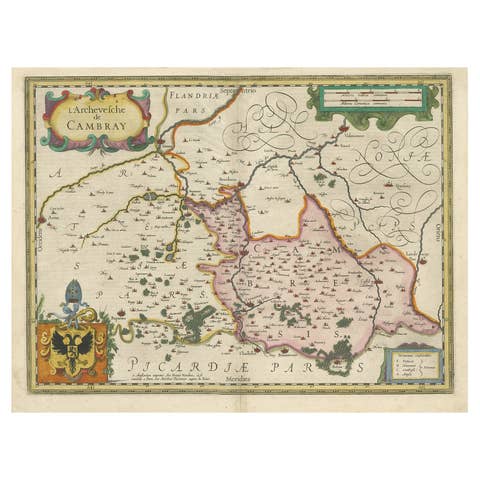
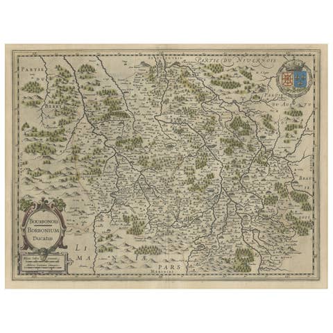
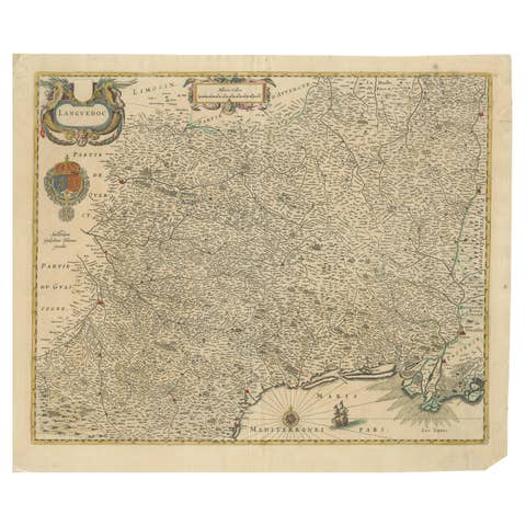
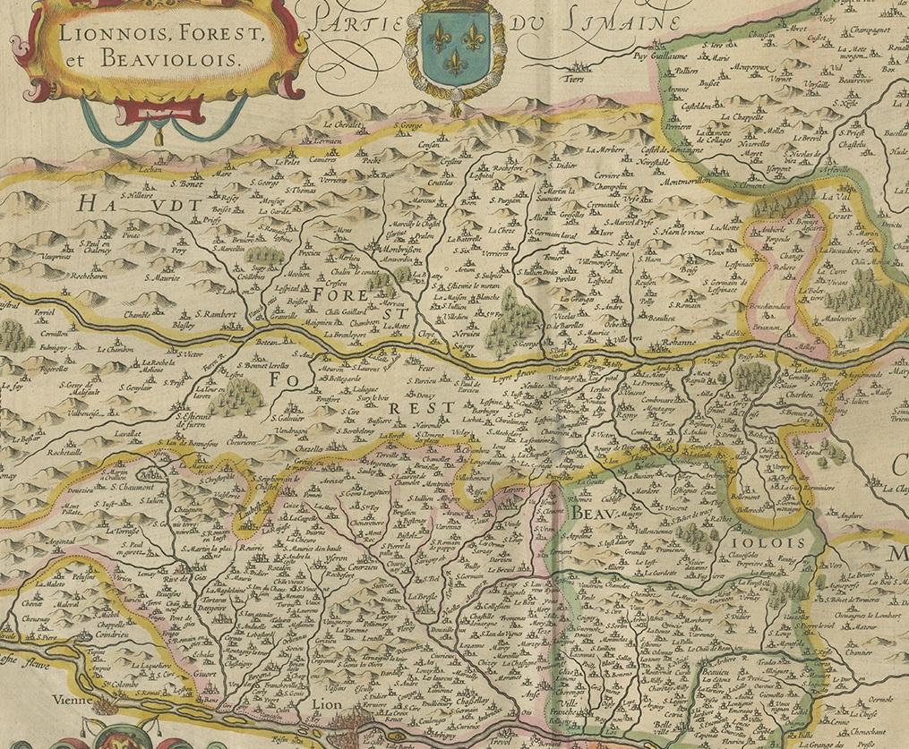
Antique map titled 'Lionnois, Forest et Beauiolois'. Old map of the former region of Lyon, Vienne, Bresse, Rohan and the Rhône River. This map originates from a composite atlas and most likely published by Hondius.

More from France

Ask about this sheet

Antique Map of the Region of Lyon by Hondius, circa 1630
1630 · Ref. BG-12380-8 · € 390
We reply by email, usually within one working day.