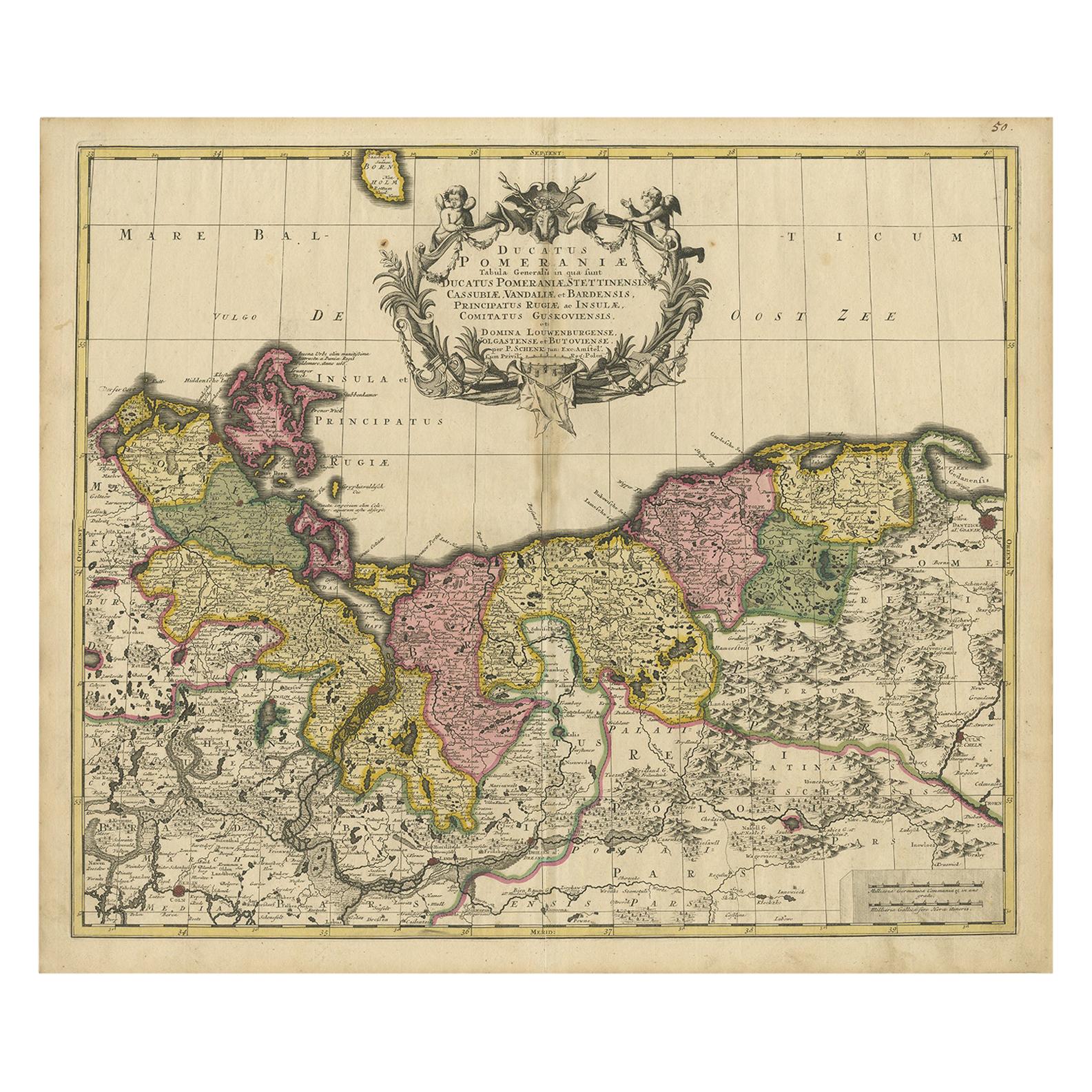
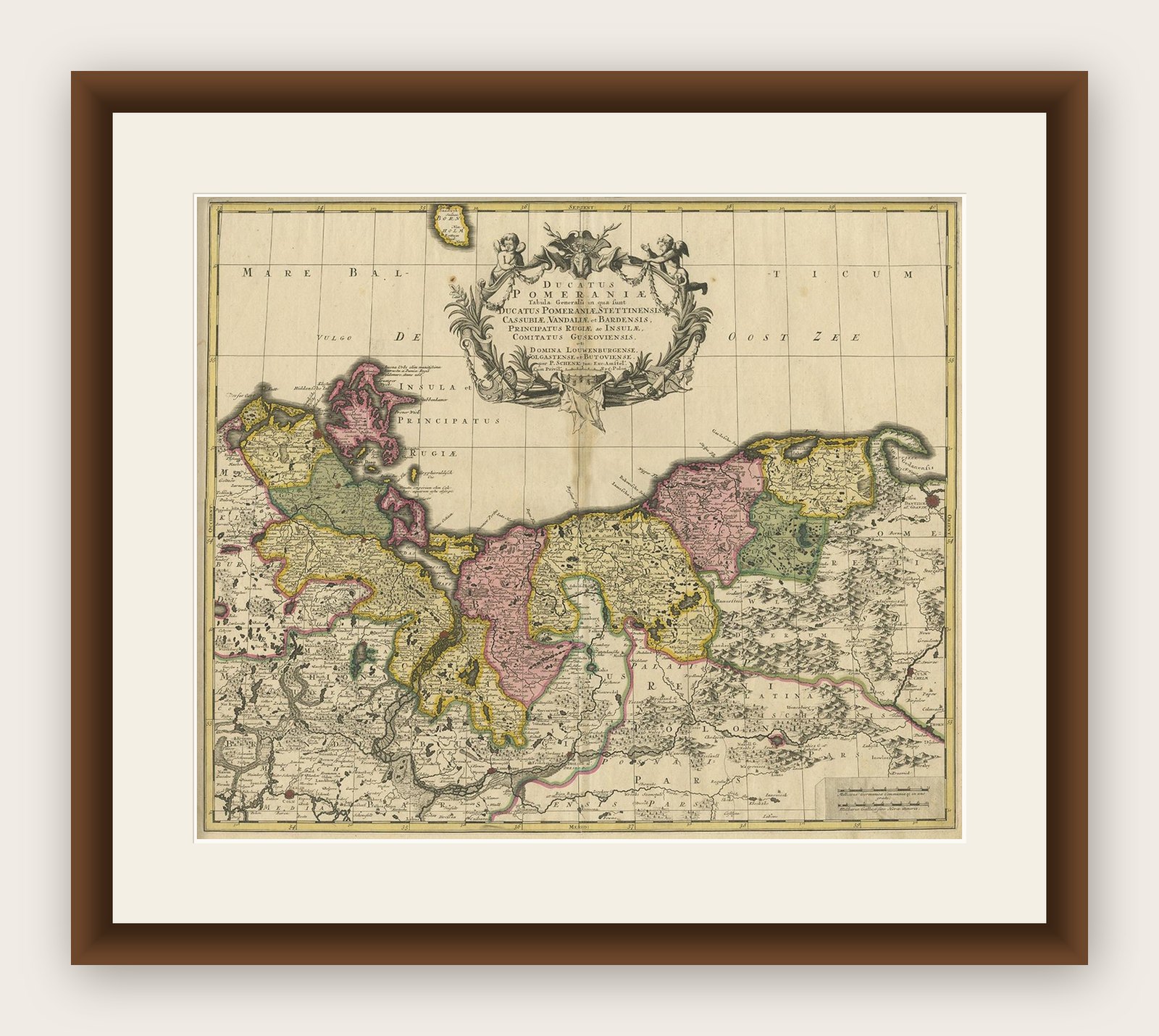
Map of the Duchy of Pomerania – Antique Engraving by P. Schenk Jr., c. 1750
€ 464
Original antique · The actual sheet photographed · Certificate of authenticity on request · Sold unframed · Worldwide shipping from € 15 (rates)
Date
1750
Technique
Engraved
Sheet size
52.5 × 61 cm (20.7 × 24.0 in)
Condition
Good
Reference
BG-12242-3
What the condition grades mean
Excellent
Bright and clean, with no faults worth mentioning.
Very good
Only light signs of age, such as faint toning.
Good
Normal signs of age for a sheet of this period: toning, some foxing, small marks or neat old repairs.
Fair
Clear faults such as staining, tears or repairs, priced to match.
Every fault we see is written in the condition note, and the whole sheet is shown uncropped in the photos.
Condition
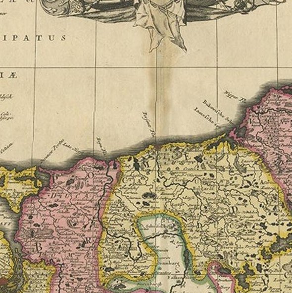
Very good condition with original hand coloring. Minor fold in the center as issued. Slight edge toning, some toning along the fold and a few faint spots typical for age. No tears or repairs.
About this sheet
Map of the Duchy of Pomerania – Antique Engraving by P. Schenk Jr., c. 1750
Antique map titled 'Ducatus Pomeraniae Tabula Generalis'. This historical map presents the Duchy of Pomerania, a region stretching along the southern coast of the Baltic Sea, now divided between northeastern Germany and northwestern Poland. The map delineates its various administrative subdivisions, with major cities and towns like Stettin (Szczecin), Stralsund, and Greifswald clearly marked.
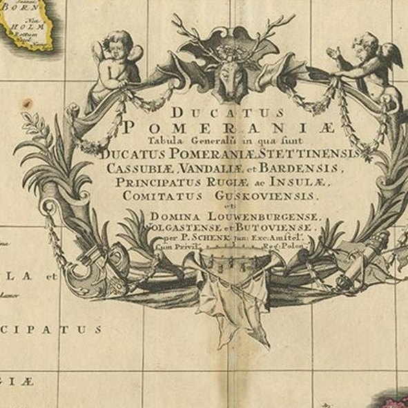
Published by Petrus Schenk Jr. around 1750, the map is a fine example of mid-18th-century Dutch cartography. It is embellished with a large, ornate cartouche at the top, which includes the title and is surrounded by draped garlands, military regalia, and classical motifs—typical of the baroque decorative style used to glorify political entities.
The hand-colored boundaries, river networks, forests, and place names are meticulously engraved, offering a clear and detailed view of the region’s historical geography. It reflects not only the political divisions of the time but also serves as a cultural document highlighting the cartographic standards of the Amsterdam publishing tradition.
Condition report: Very good condition with original hand coloring. Minor fold in the center as issued. Slight edge toning, some toning along the fold and a few faint spots typical for age. No tears or repairs.
Framing tips: Best presented in a classic dark wooden frame with a warm beige or off-white mat to highlight the decorative cartouche and period colors.